Pete's Walks - Hambleden, Medmenham, Colstrope, Fawley (page 5 of 6)
If you are considering walking this route yourself, please see my disclaimer. You may also like to see these notes about the maps and GPX files.
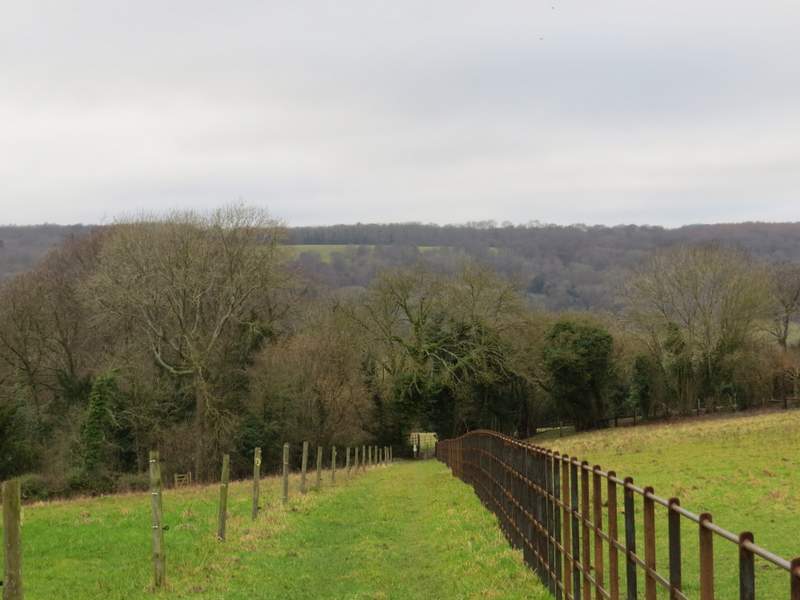
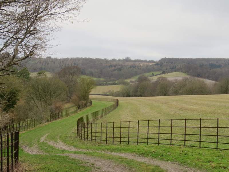
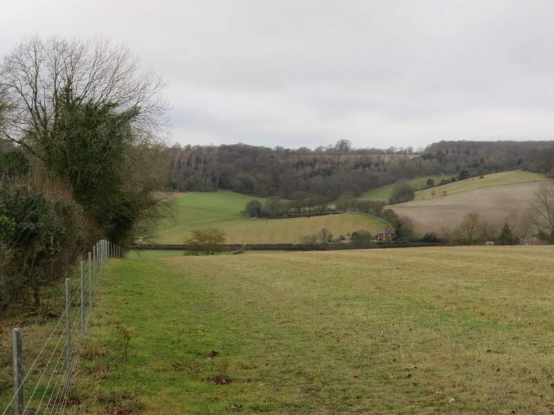
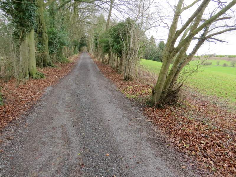
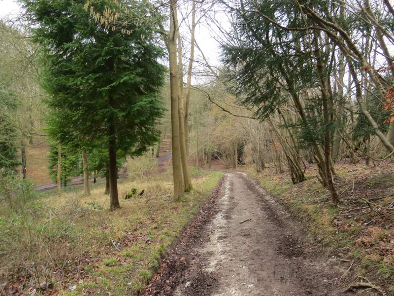
As I followed the lane through the hamlet of Pheasants I soon passed a pond on my left. I stayed on the lane when a footpath went right, then a hundred yards or so further on I took a second footpath that forked half-right from the lane (between the two footpaths I was briefly back on familiar ground). It crossed a grass area by a small stable, then continued slightly downhill between fences. After passing through a small area of bushes (where a notice said the path had been officially diverted), I turned left along a track running between two fences set some distance apart (I think the path ran in the trees to the left for a while before it was diverted). The track was heading gently downhill towards the Hambleden Valley, so there was a nice view ahead of me. After I while there was only a fence on my left, and in the next field corner the path turned right. In the next corner it went straight on through a wood called Bagmoor Shaw. I soon reached a track on the other side of the wood, by a property named The Hyde on the OS map, where I turned left.
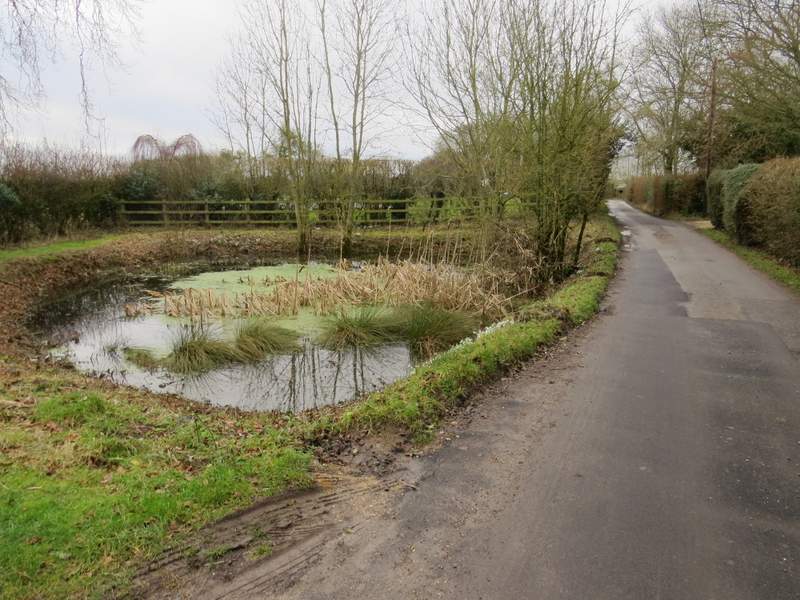
Pond beside the lane in Pheasants
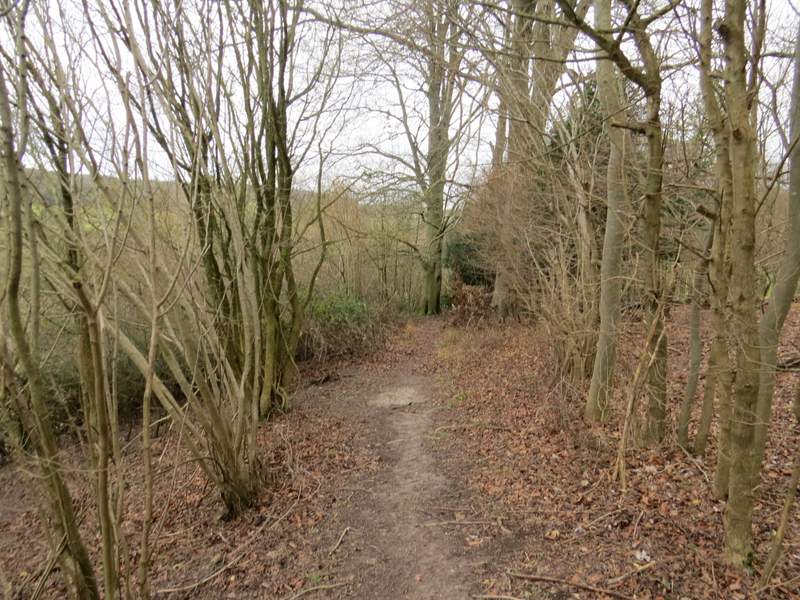
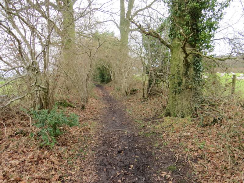
Near the start of the path after I forked right from the lane through Pheasants
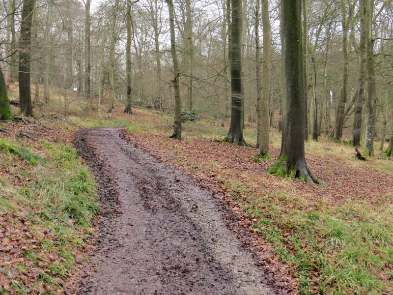
Further along the path, now descending towards the Hambleden Valley
Further along the path, now descending towards the Hambleden Valley
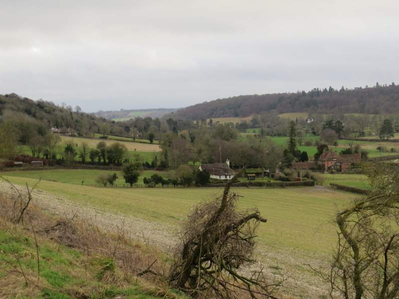
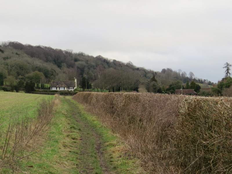
View towards the Hambleden Valley around Colstrope
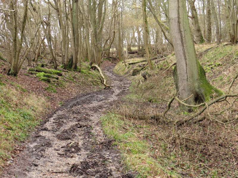
The path continuing through Bagmoor Shaw after it went right
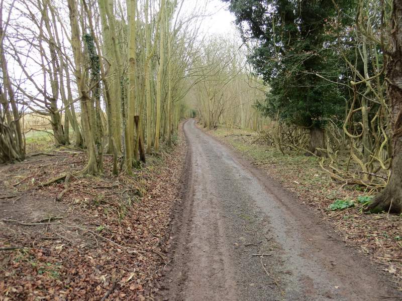
I followed the track as far as where a footpath crossed it, where I again turned left, back on familiar territory now as I briefly joined the route of the Chiltern Way. I followed the path southwards through the Hambleden Valley for about half a mile to reach Colstrope, where I continued along the lane through the hamlet. When the lane turned right, the Chiltern Way took a path on the left to continue down the valley to Hambleden, but I stayed on the lane and followed it to where it ended at a junction with the minor road that runs through the valley.
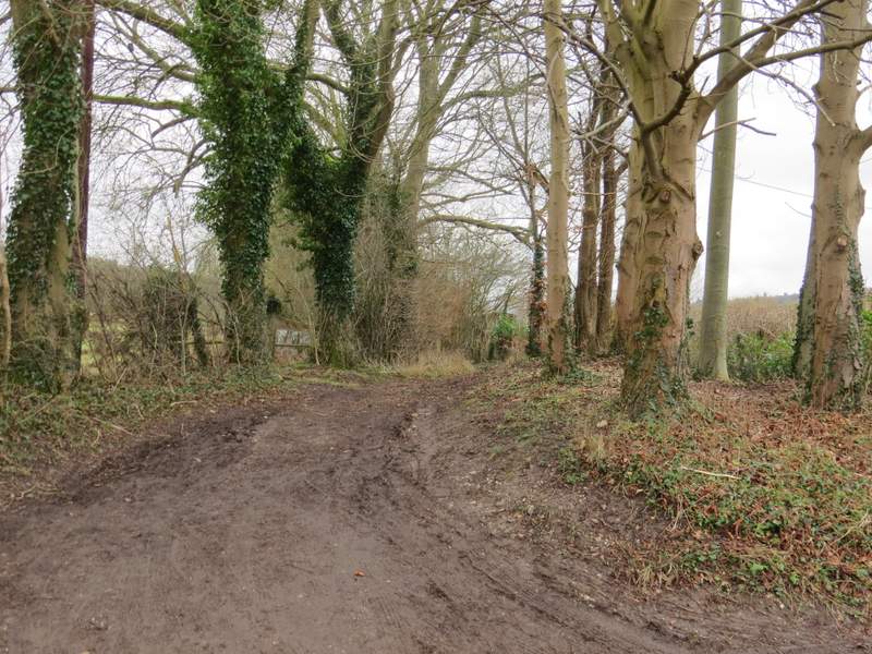
The lane near The Hyde
Start of the short section along the Chiltern Way, heading to Colstrope
The Chiltern Way, approaching Colstrope
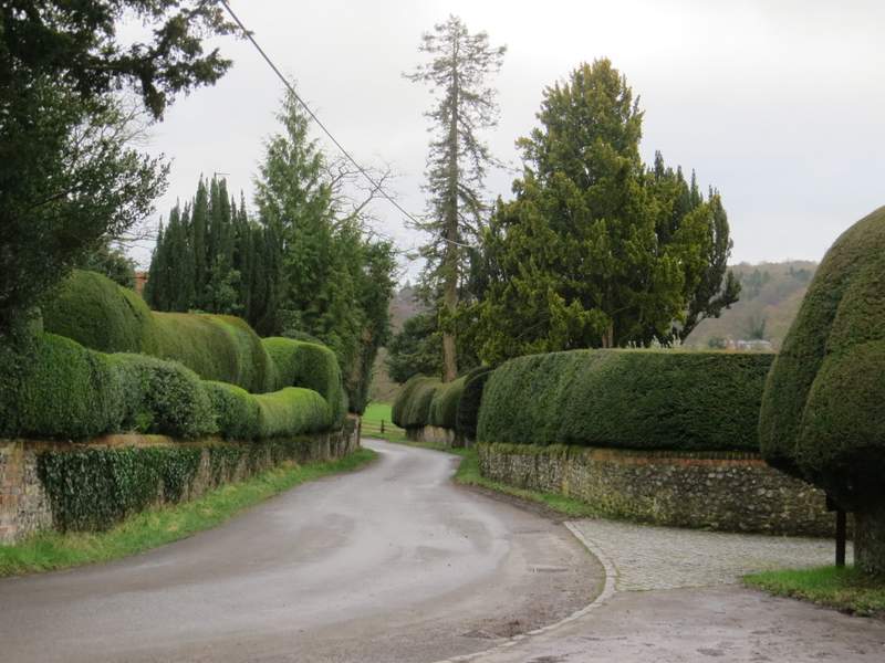
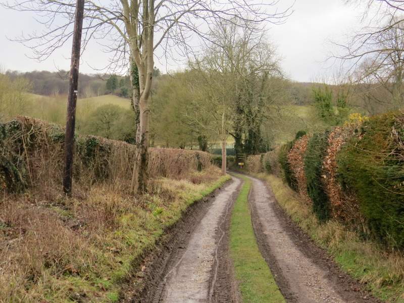
The lane through Colstrope
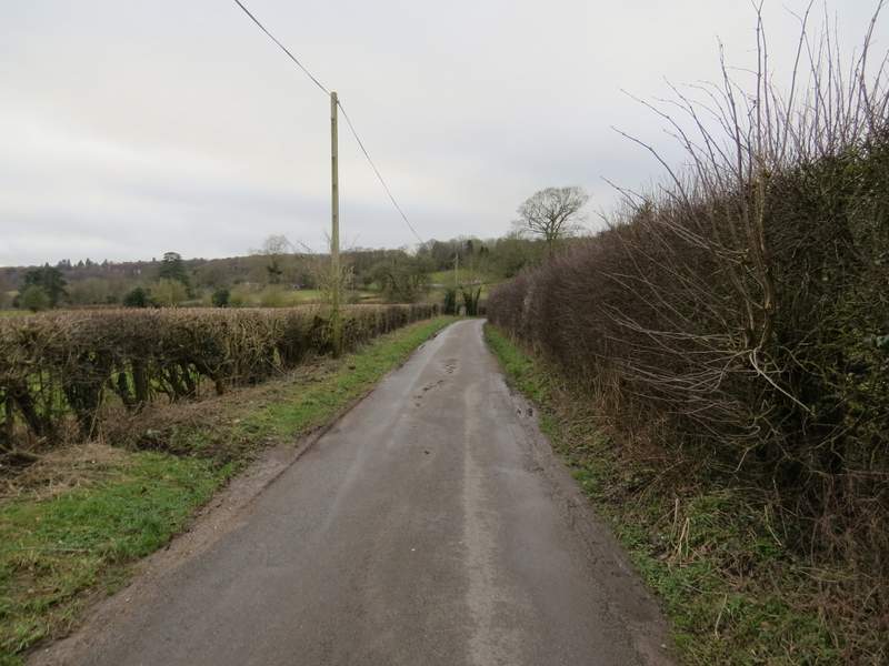
The lane continuing from Colstrope, heading to the road through the Hambleden Valley
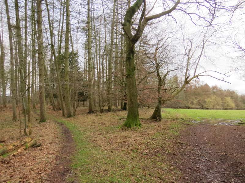
I crossed the junction and took a path (which I'd walked just once before) that went half-left across a field towards Bacres Farm. The path continued in front of the farm, then turned right along a surfaced drive heading uphill through an avenue of trees. After a while I had Barn Wood on my right. Near the top of this fairly lengthy slope I went straight on where another drive turned right for Built Farm. Shortly after this the drive I was following turned left, but the footpath went straight on and was soon dropping slightly downhill through what was now Great Wood. It ended at a T-junction with a bridleway that was following a track. I'd been toying with the idea of shortening my planned route by turning left here, but decided to carry on and so followed the track to the right, gently descending through the wood. I was back in known territory now, having walked this bridleway several times before. In the valley bottom I again could have shortened the walk by turning left at a bridleway junction, but stuck to my planned route and went straight on, the bridleway gently rising up the other side of this small valley. One of the group of walkers I met by the bridleway junction warned me it was slippery ahead, and once the bridleway left Great Wood it became very unpleasantly muddy as it ran between a fence and a hedge on my right.
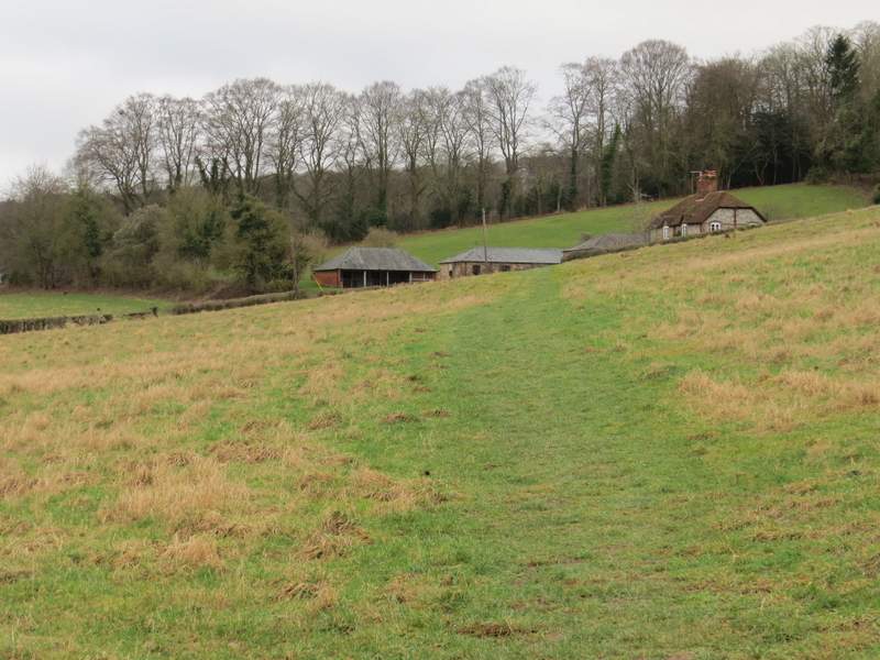
The path to Bacres Farm
The path continuing uphill to Barn Wood
The path continuing uphill through Barn Wood
The path continuing through Barn Wood, just after the track turned left
The path approaching the track in Great Wood
The track in Great Wood, after I turned right
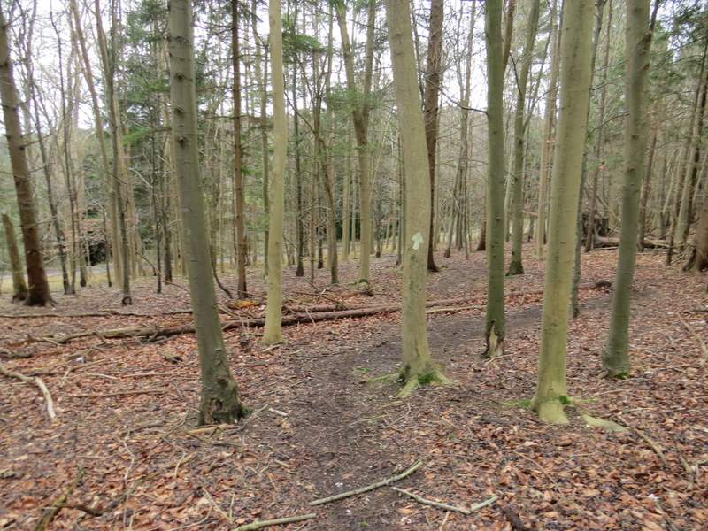
The path continuing uphill through Great Wood
The path continuing uphill through Great Wood
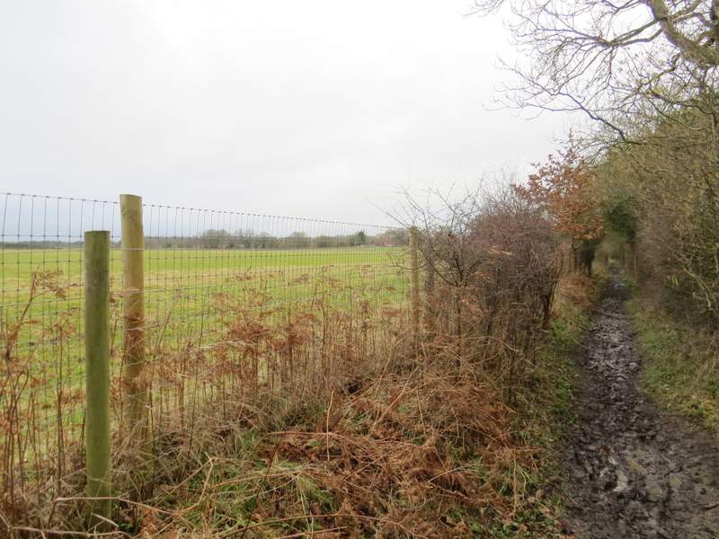
The now very muddy path continuing northwest from Great Wood
The now very muddy path continuing northwest from Great Wood