Pete's Walks - Bledlow and Radnage (page 1 of 3)
If you are considering walking this route yourself, please see my disclaimer. You may also like to see these notes about the maps and GPX files.
I did this circular walk of about 8.5 miles on Sunday, 5th August 2018. It was a repeat of a walk I've done many times before (I followed 'Alternative 3' on the Google map, which I usually do now). I chose this relatively short route because I wanted to stop halfway round to search for butterflies at the Yoesden nature reserve - it turned out to be a very good idea to do a shorter walk anyway, because yet again it was a very hot day.
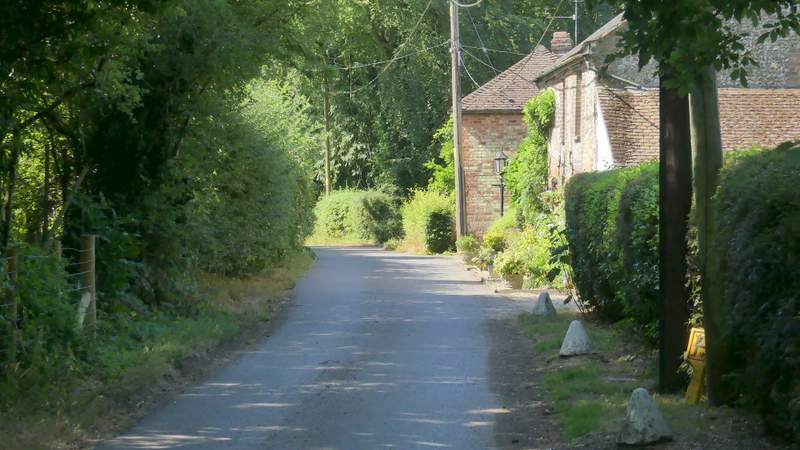
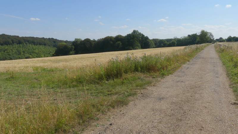
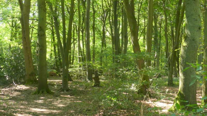
I parked outside the church at Bledlow (grid reference SP 778022) and started walking just after 10am (the church bell sounded just as I set off - it did so again when I got back exactly five hours later). With the churchyard on my right initially, I walked down the road until it started to turn right (by the Lions of Bledlow pub), where I took a footpath going half-left across a corn field. On the far side I reached a track, where I turned right and followed it for several hundred yards to reach the hamlet of Hempton Wainhill. I followed the track between some houses then turned left onto a bridleway. This climbed steadily up the wooded slope of Chinnor Hill, obviously an old route as it had worn a groove into the hillside. I continued along the bridleway across the top of Chinnor Hill and then through a small wood to reach a car park
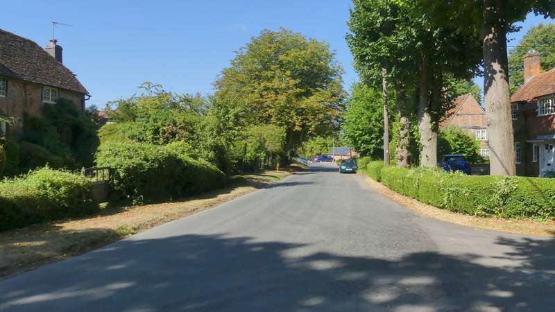
The street through Bledlow
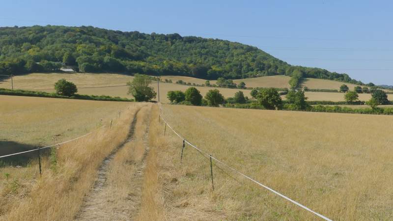
The start of the path to Wainhill
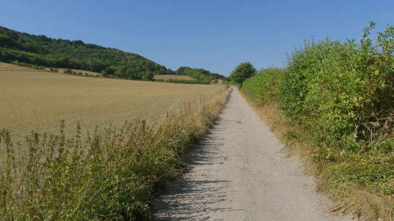
The path to Wainhill
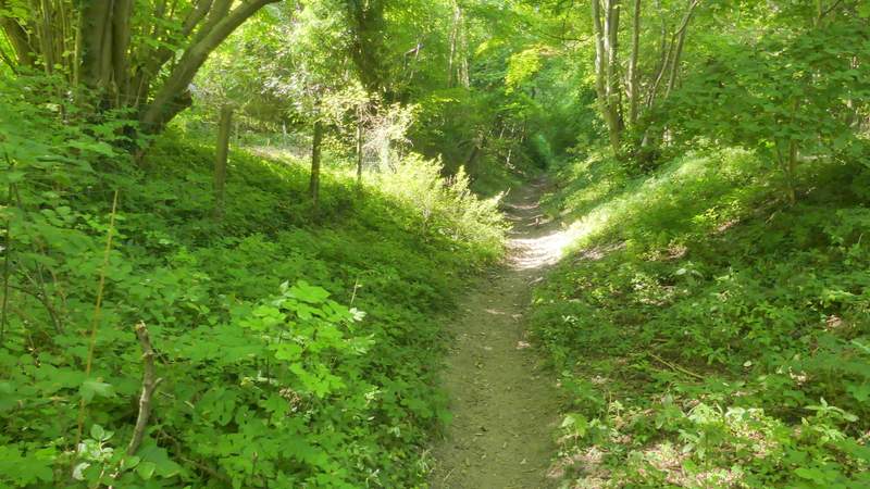
The bridleway up Chinnor Hill
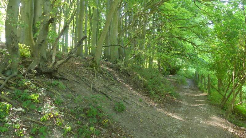
The bridleway up Chinnor Hill
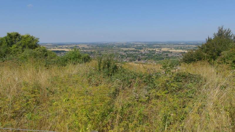
View from the top of Chinnor Hill
The bridleway on Chinnor Hill
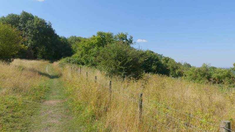
Approaching the car park on Chinnor Hill
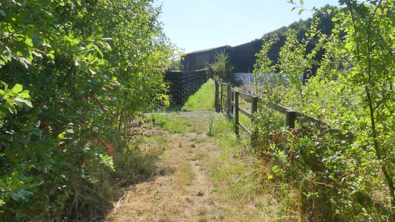
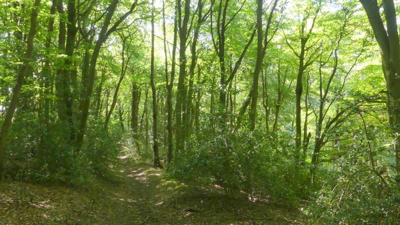
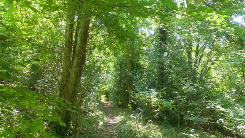
I then followed a lane from the car park, passing a few residences either side, until it reached a minor road. Here I went about two hundred yards left, and then took a path on the left that started by the drive to Woodlands Farm. The path took me past the farm and then followed a drive from it to return to the same road I'd just been on. I turned right and immediately round a bend to the right I took a bridleway on the left (starting by a drive - this is the start of 'Alternative 3' on my Google map, my original route took a footpath on the bend) which headed into Sunley Wood. I soon passed a dwelling on my left, then the bridleway started to gradually descend through the wood for several hundred yards.
The lane on Chinnor Hill
The lane on Chinnor Hill
The path past Woodlands Farm
The path past Woodlands Farm
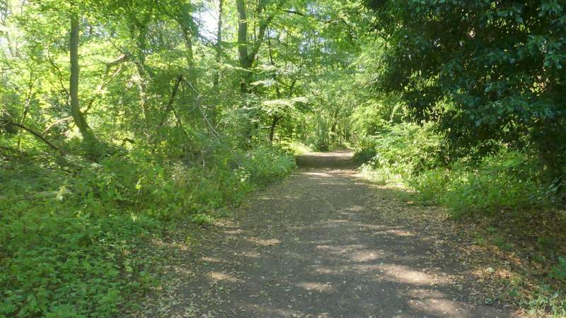
The bridleway descending through Sunley Wood
The bridleway descending through Sunley Wood
The bridleway descending through Sunley Wood
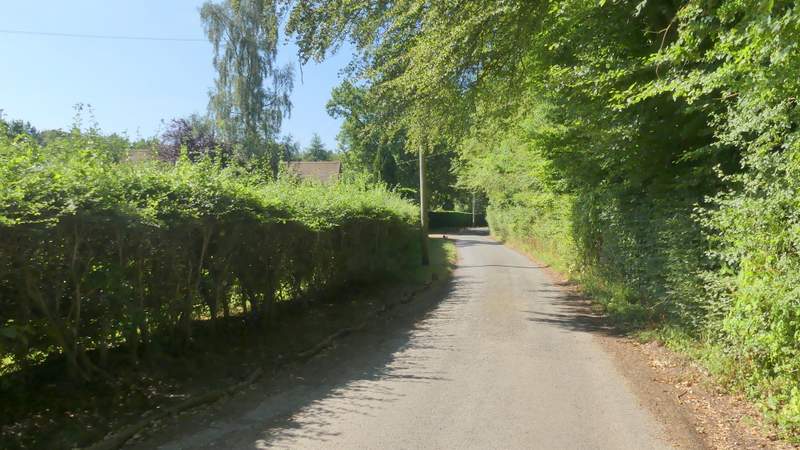
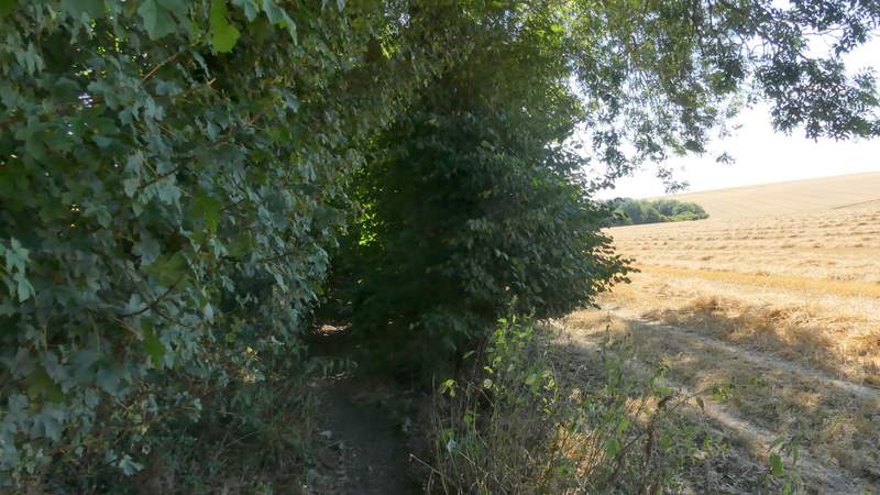
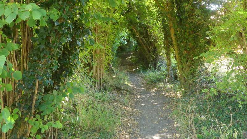
On eventually reaching the bottom of the slope, I turned left at a bridleway T-junction. This bridleway, headed for Radnage, ran between hedges that formed a 'green tunne' with only occasional glimpses of the fields either side.
The bridleway from Sunley Wood to Radnage
The bridleway from Sunley Wood to Radnage
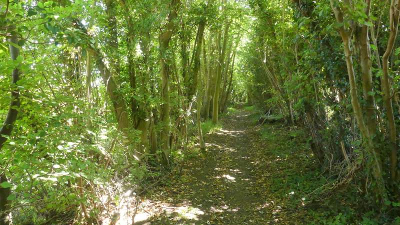
The bridleway from Sunley Wood to Radnage