Pete's Walks - Bledlow and Radnage (page 2 of 3)
If you are considering walking this route yourself, please see my disclaimer. You may also like to see these notes about the maps and GPX files.
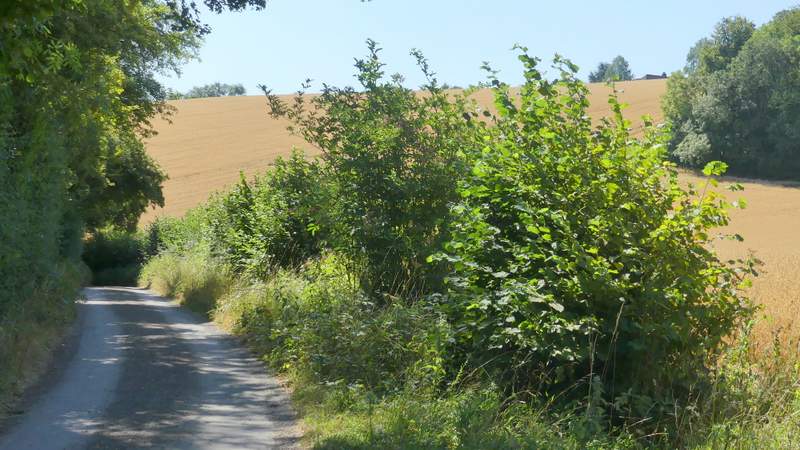
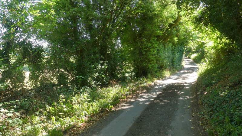
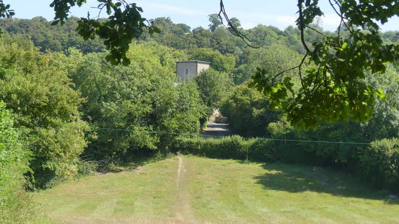
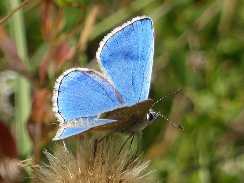
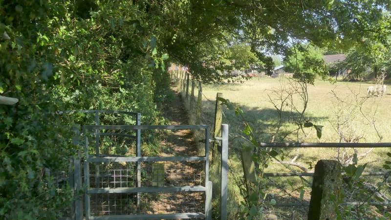
AFter half a mile or so the bridleway joined the tarmac drive from Daws Farm, and continued along it for a few hundred yards until it ended at a bend in a lane at Town End, one of the several hamlets in the scattered community of Radnage. I went straight on here for about a hundred yards before taking a footpath on the left. This crossed a drive and continued through a long meadow to reach a lane, with Radnage church on the other side. I walked through the churchyard and continued along a path across a meadow and then a pasture (one of the sheep here was remarkably friendly, I guess it must have been hand-reared). I then kept left where the path forked, aiming for the far left corner of the next field. Through a gate in that corner, I paused from my walk by going left into the Yoesden nature reserve to look for butterflies. I was here for about 90 minutes, and succeeded in seeing what I'd come to see - the stunning little Adonis Blue. I only saw four or five of them, I was probably a week or so early to see them at their peak.
The drive from Daws Hill Farm
The drive from Daws Hill Farm
Approaching Radnage church
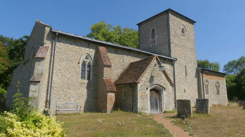
Radnage church
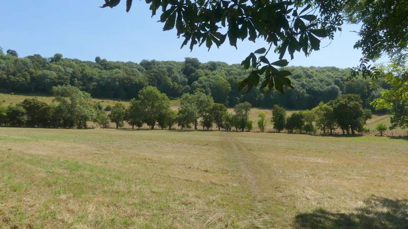
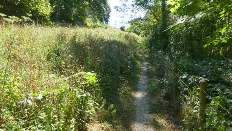
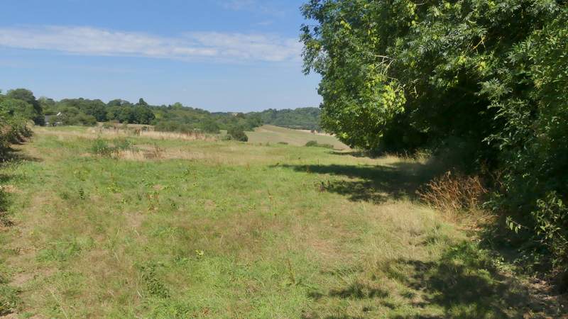
The path from Radnage church to Bledlow Ridge
The path from Radnage church to Bledlow Ridge
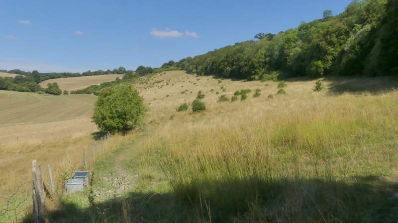
Yoesden nature reserve
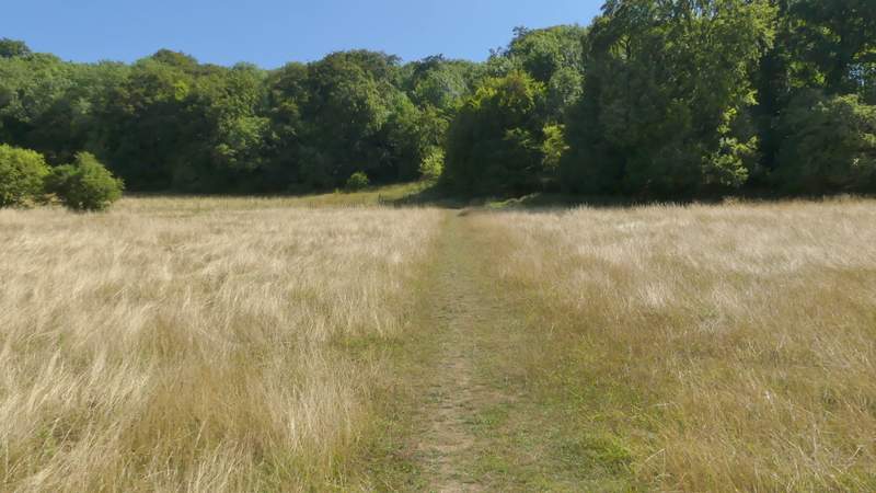
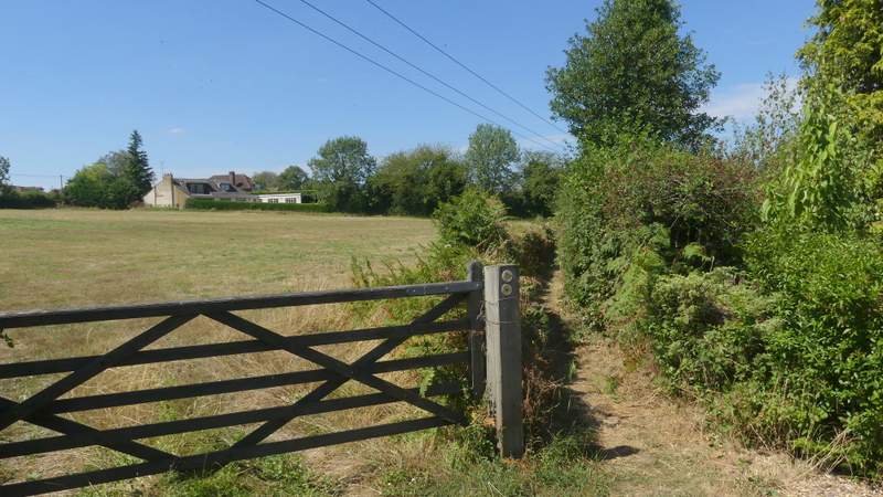
I then returned to the path and followed it steadily up hill. Near the top of the slope it turned left, running between hedges and fences for about a quarter of a mile to reach the road through Bledlow Ridge (which is the name of both a village and a hill).
The path from Radnage church to Bledlow Ridge
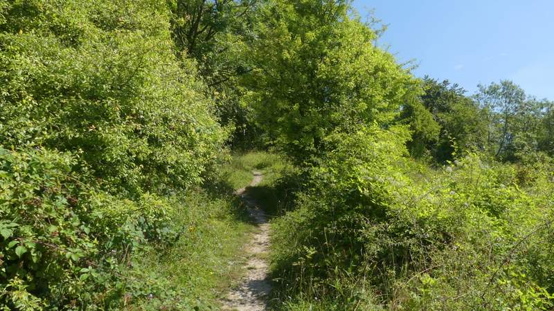
The path from Radnage church to Bledlow Ridge
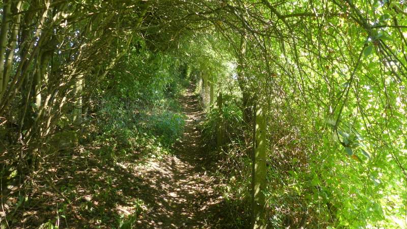
The path from Radnage church to Bledlow Ridge
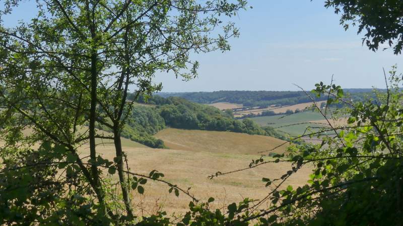
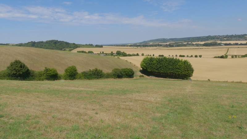
View right from the path to Bledlow Ridge
Approaching Bledlow Ridge
I crossed the road and followed a path that started down a drive. At the end of the drive, it continued between hedges with a meadow on my left. Where that ended I turned right at a path junction, following the right edge of a field as far as a metal kissing-gate. Through this, the path dropped steeply downhill through a mown meadow. Through another gate at the bottom of the slope, the path turned left behind a short row of conifers, and followed the left edge of a large corn field to reach Lodge Hill Farm.
The path from Bledlow Ridge, where it leaves the end of a drive
The path after I turned right
The path descending into the Saunderton valley
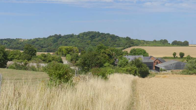
Approaching Lodge Hill Farm, with Lodge Hill behind