Pete's Walks - Bledlow and Radnage (page 3 of 3)
If you are considering walking this route yourself, please see my disclaimer. You may also like to see these notes about the maps and GPX files.
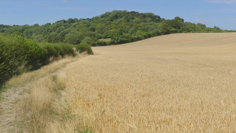
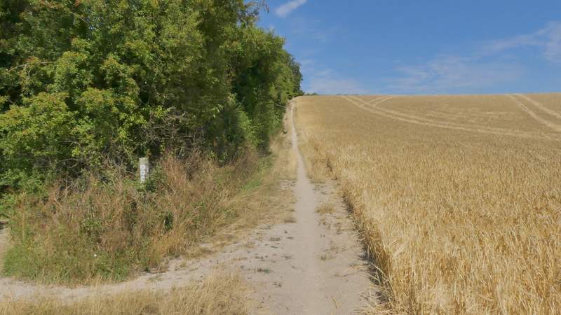
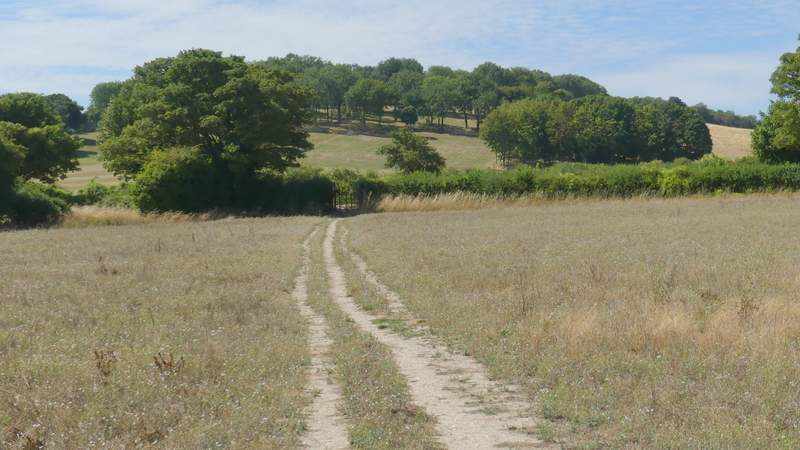
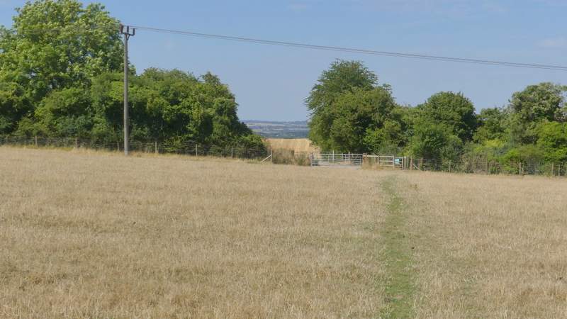
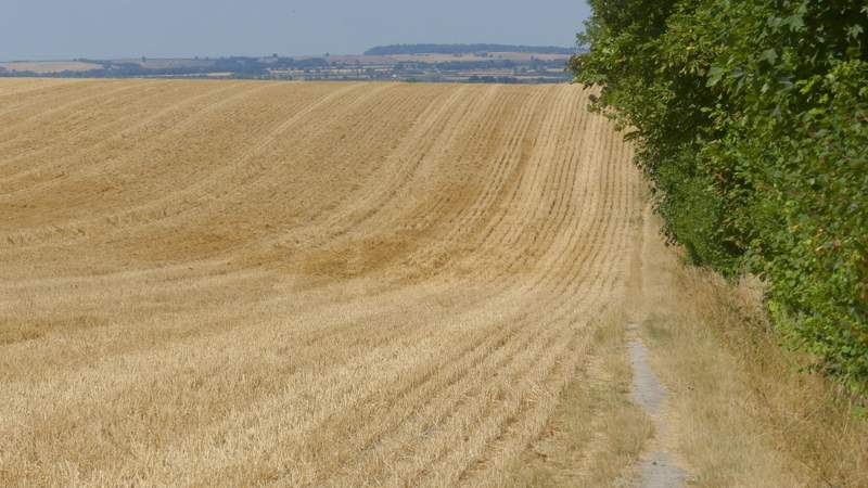
I turned right along the drive, and where it turned right I went left along a bridleway. I followed this for several hundred yards, along the left edge of an enormous corn field. On eventually reaching a bridleway T-junction I turned right. This bridleway was soon rising uphill, levelling out as is passed a corner of the corn field and running through an area of scrubland, at the southestern end of Lodge Hill. On reaching a path junction, I turned left and followed the path up to the top of Lodge Hill.
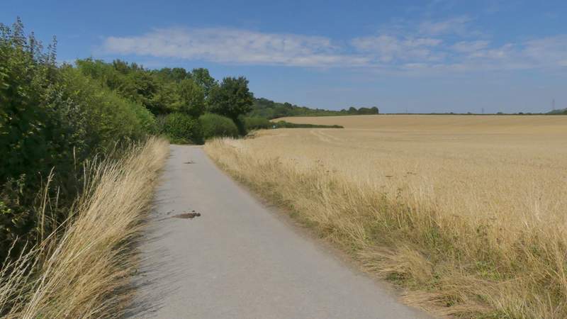
The bridleway to Lodge Hill
The bridleway to Lodge Hill
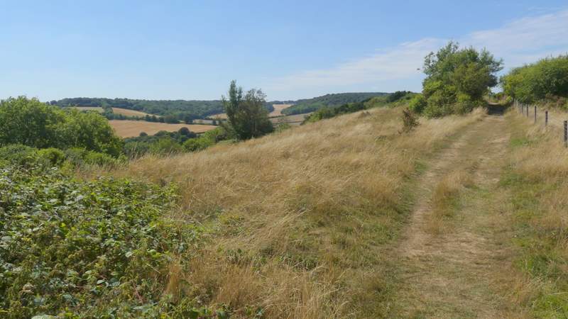
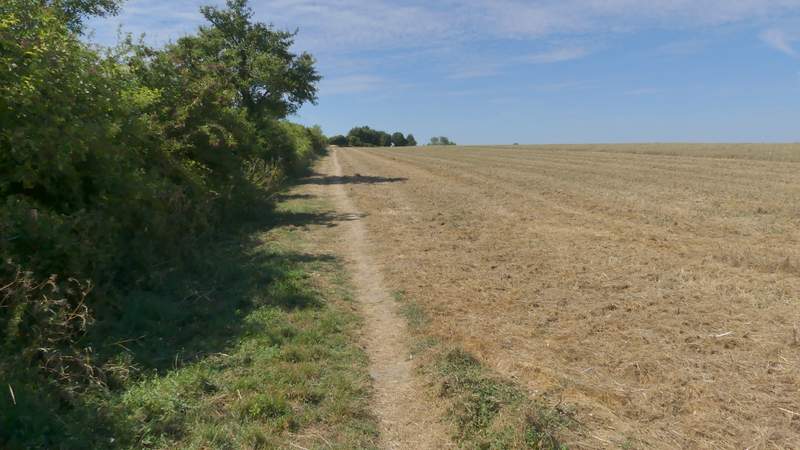
The bridleway across the southeast end of Lodge Hill
The bridleway across the southeast end of Lodge Hill
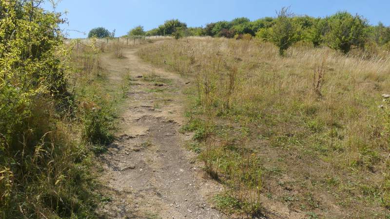
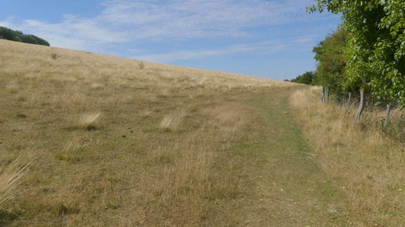
The path up Lodge Hill
Looking back, across the Saunderton Valley towards Loosley Row
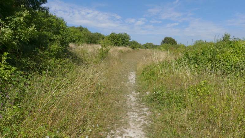
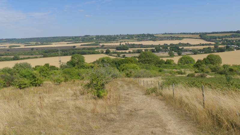
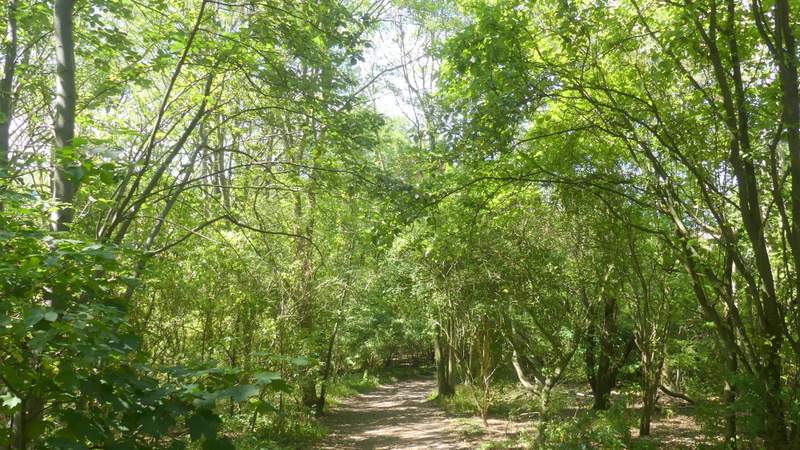
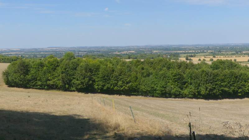
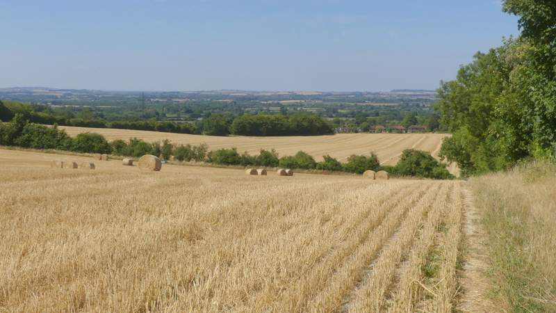
I followed the path along the top of Lodge Hill, first through an area of bushes, then past a few beech trees and then across a small area of open downland - here there were fine views in most directions (this is one of my favourite spots in the Chilterns). The path then descended the wooden northwestern end of the hill, continuing a short way beside a hedge on the left. The path then turned left through a metal kissing-gate, and crossed a field of stubble (there was a path crossing in the centre of this field). Beyond this it crossed the corner of another stubble field to reach Wigan's Lane.
The path crossing Lodge Hill
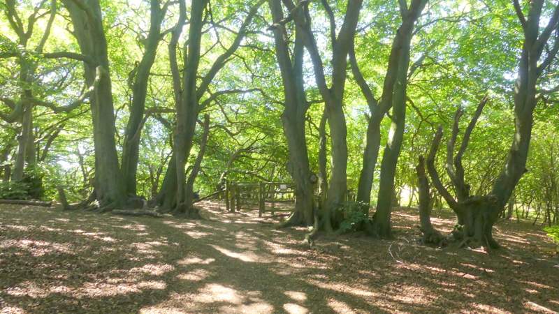
Beech trees on Lodge Hill
The path crossing Lodge Hill
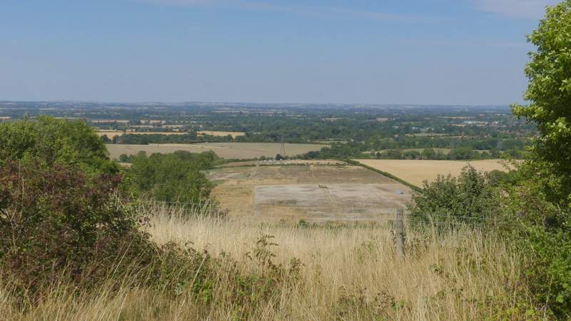
View out to the Vale of Aylesbury from Lodge Hill
The path Descending Lodge Hill
The path continuing from the foot of Lodge Hill
Approaching Wigan's Lane
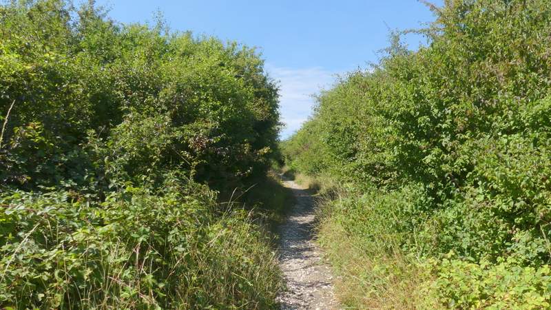
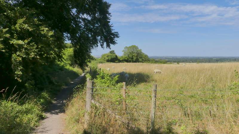
Across the lane the path continued beside a hedge on my left. I went straight on where a path came in on the left, then a few yards further on went through a gate and switched to the other side of the field boundary, soon with a tall hedge on my right. After a few hundred yards I acme to a path junction, where I took a path forking half-right, dropping downhill and then going up a small wooded embankment and crossing part of a sheep pasture to reach a track. Across this the path continued beside a hedge on my right through two large stubble fields to return to a street in Bledlow, where my car was parked just a few yards to the right.
The path on the other side of Wigan's Lane
The path on the other side of Wigan's Lane
The path after I turned right
The path after I turned right
The path continuing back to Bledlow
Approaching Bledlow
I always enjoy this route, and calling in at Yoesden to look for butterflies worked very well (though, as when I did it last year, my body wasn't too keen on switching from nature-watching mode mode back to walking mode again!). But it was a very hot day, at least 26C in the shade, which is about my limit - I was glad I wasn't doing a longer walk. There were lots of good views on this walk, even though the countryside is quite parched after this very prolonged hot and dry spell we've had.