Pete's Walks - Maidensgrove Common and Rotherfield Peppard (page 5 of 6)
If you are considering walking this route yourself, please see my disclaimer. You may also like to see these notes about the maps and GPX files.
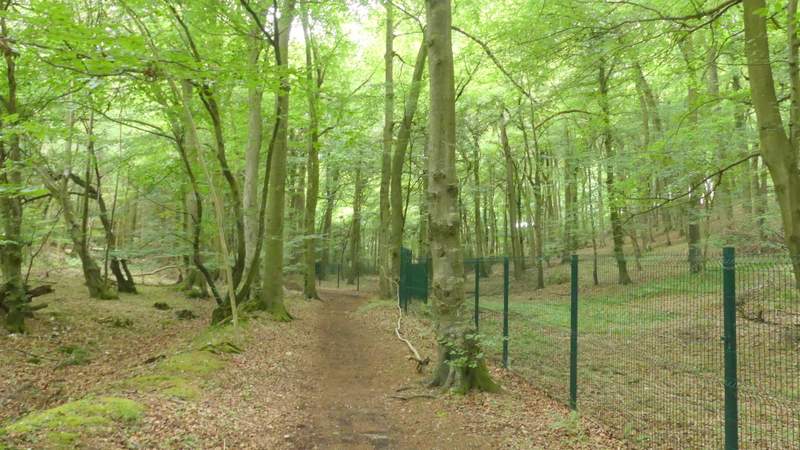
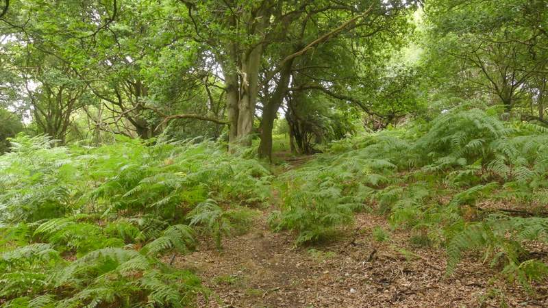
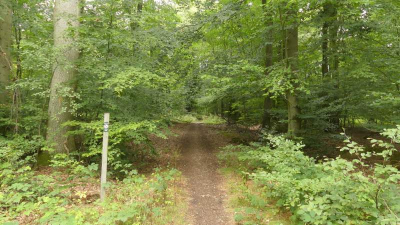
At a bridleway crossroads I went straight on, the wood now becoming Overs Wood. Soon there was a green metal fence on my right, which the bridleway followed for several hundred yards, Further on the bridleway ran close to fields on the right, the wood now being Greyhone Wood. Eventually the bridleway turned right, following a garden fence on the left a short way to reach a minor road at a bend. I went a short way left, and shortly after a track or drive came in on the left I started to make my way up through the wooded hillside on the right. Halfway up the slope I reached a path, which I followed half-left (I think it must actually start opposite the track I mentioned, but I missed seeing it - this is an Open Access area anyway).
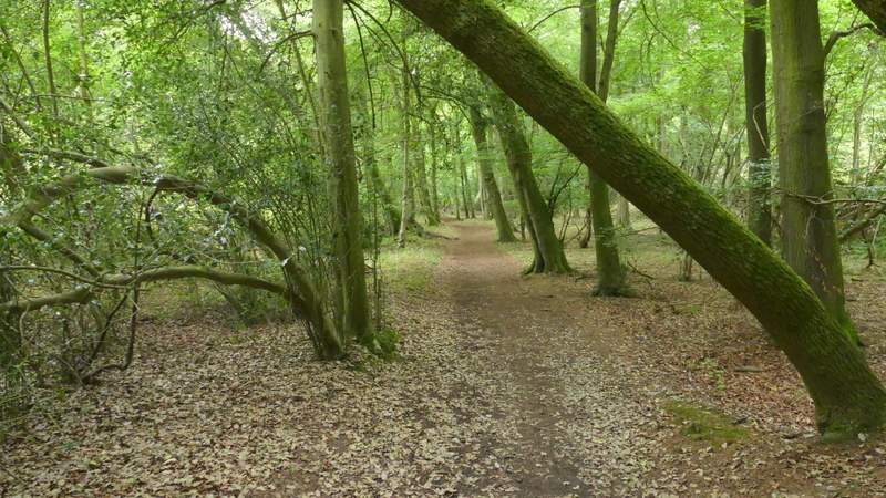
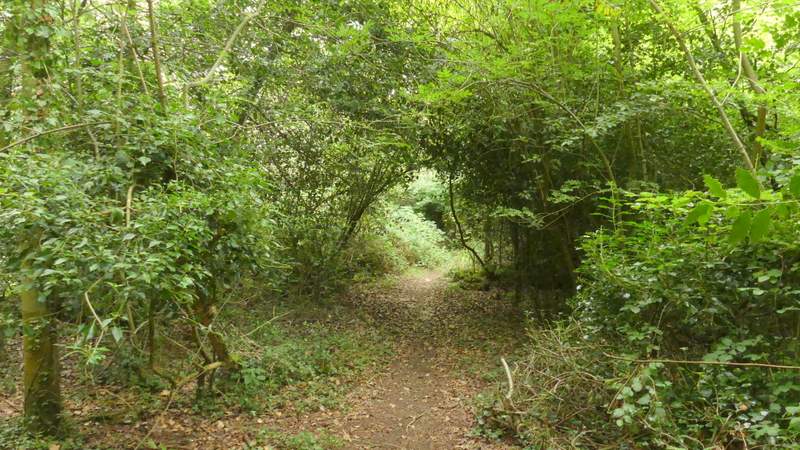
The path just after entering Overs Wood (I think)
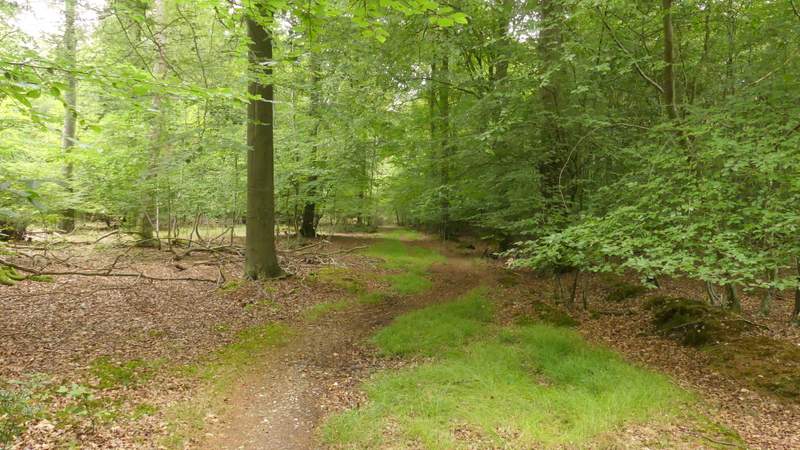
The path through Overs Wood
The path through Overs Wood
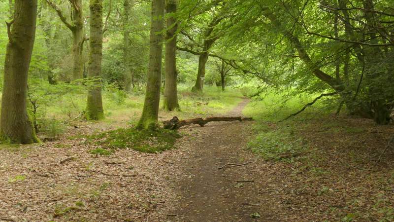
The path continuing through Greyhone Wood
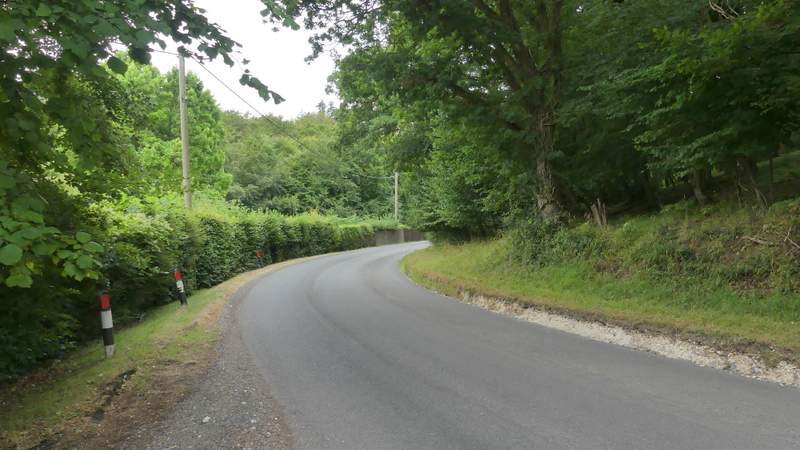
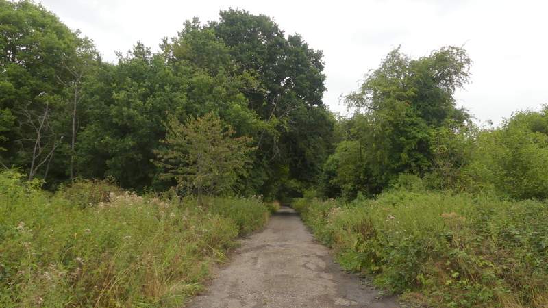
The short road section
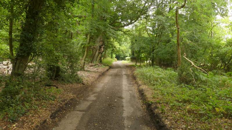
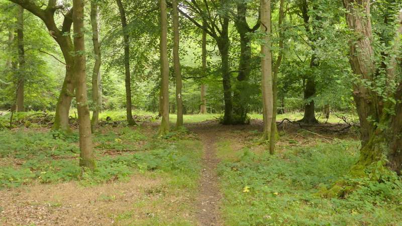
The path to Witheridge Hill
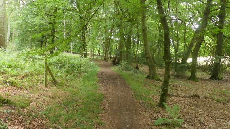
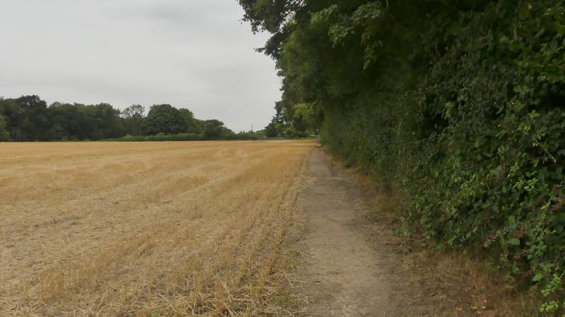
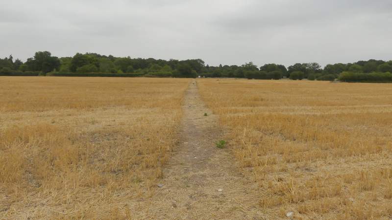
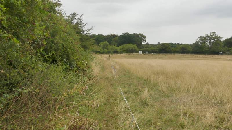
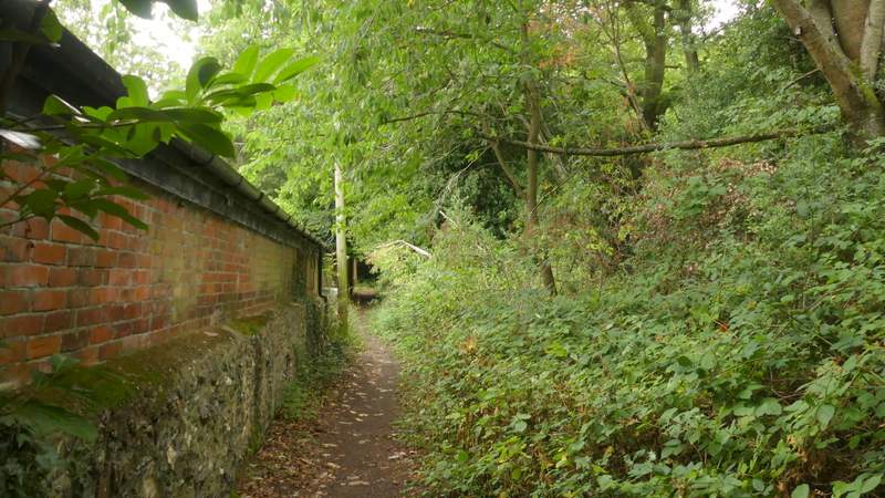
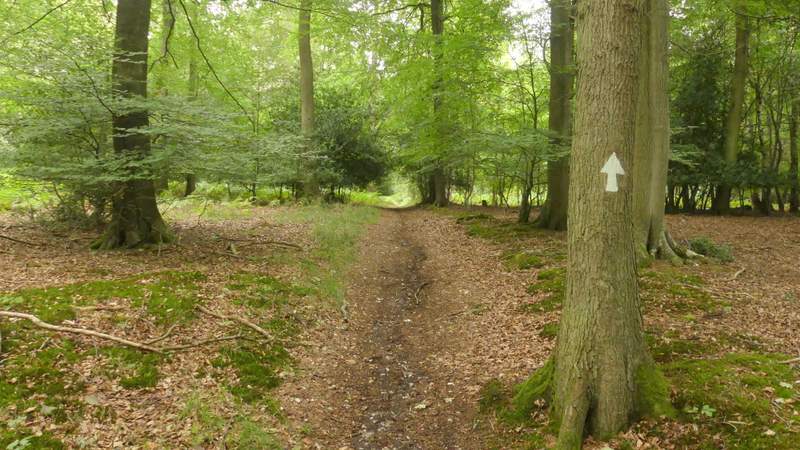
The path brought me to a lane at Witheridge Hill, where I went down a driveway opposite - after a few yards a sign on the right indicated where the footpath forked right. The path soon reached a gravel drive, where waymarks showed that the path went left and then immediately right at a junction of gravel drives. On approaching a gate at the end of the drive, the path went round to the right and soon reached a metal kissing-gate. It then continued along the right edge of a stubble field before crossing a second stubble field. It then followed the left edge of some rough paddocks to a gate. Beyond this, I went a few yards left along a drive then went right by a gate marked 'Old Barn'. I soon came to a path crossroads, where I turned right and followed the path a short distance to reach a road at Highmoor.
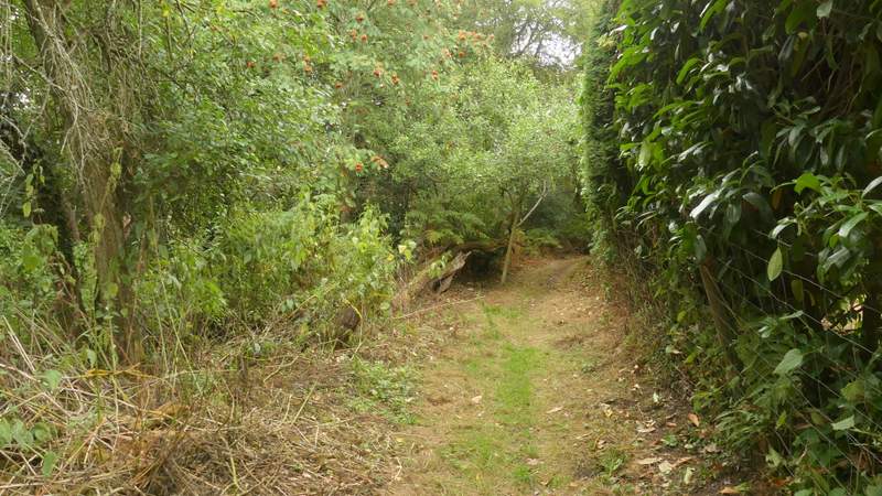
Near the start of the path at Witheridge Hill
The path at Witheridge Hill
The path continuing from Witheridge Hill
The path from Witheridge Hill
The path from Witheridge Hill
The path continuing near Highmoor Farm
The path after I turned right
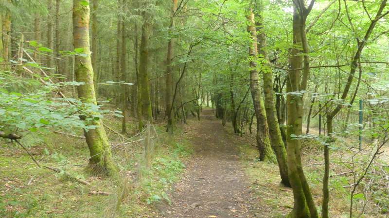
A few yards to the right I took a byway starting on the other side of the road. I followed it for about half a mile, as it headed northeast just inside Highmoor Common Wood. At a track junction near a large property named Merrimoles (to my right) I took a path going straight through the wood. After about a quarter of a mile I went right at a path junction, this path soon dropping downhill slightly and crossing a bridleway (in fact the path becomes a bridleway at this point). It continued through Lowercommon Wood, going left after about quarter of a mile, then turning right and then left again, soon after reaching a main road (the A4130 again).
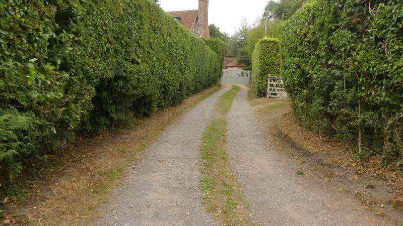
Start of the drive to Merrimoles
The drive to Merrimoles
The drive to Merrimoles
The start of the path through Highmoor Common Wood
The path through Highmoor Common Wood
The path after I turned right
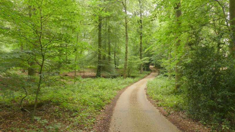
The bridleway through Lowercommon Wood
The bridleway through Lowercommon Wood, approaching the road