Pete's Walks - Maidensgrove Common and Rotherfield Peppard (page 6 of 6)
If you are considering walking this route yourself, please see my disclaimer. You may also like to see these notes about the maps and GPX files.
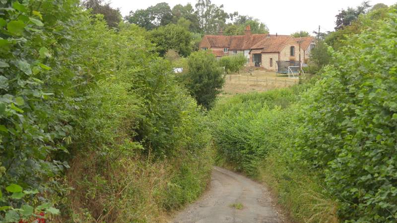
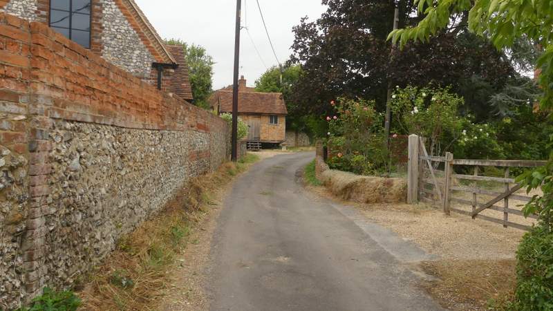
I crossed the road and continued down a lane that very soon brought me to the hamlet of Catslip. I continued along the lane and after a quarter of a mile or so came to the larger settlement of Crocker End, where I went left at a fork in the lane. When this lane came to a T-junction by the village green, I went more or less straight on along a footpath, which was soon crossing a large pasture dotted with mature trees - there was quite a nice view here, looking right.
The lane into Catslip
The lane continuing fro Catslip to Crocker End
Crocker End, after I kept left at a fork in the lane
Crocker End
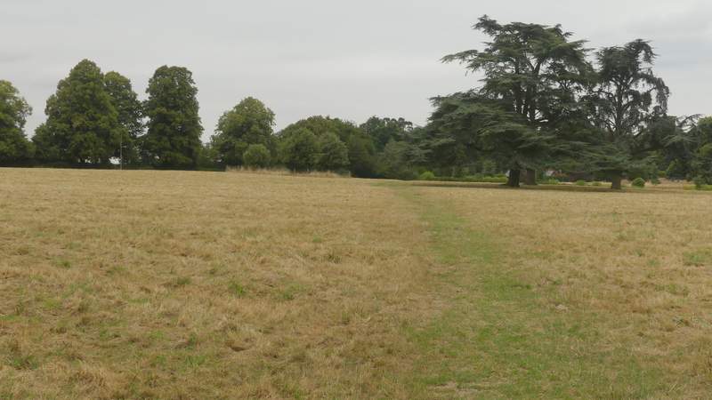
The path from Crocker End
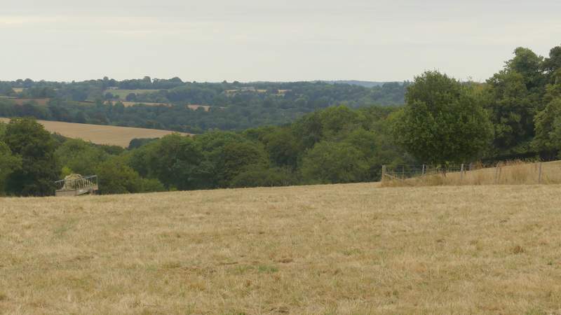
View right from the path from Crocker End
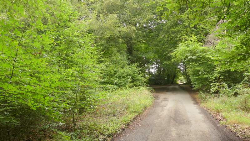
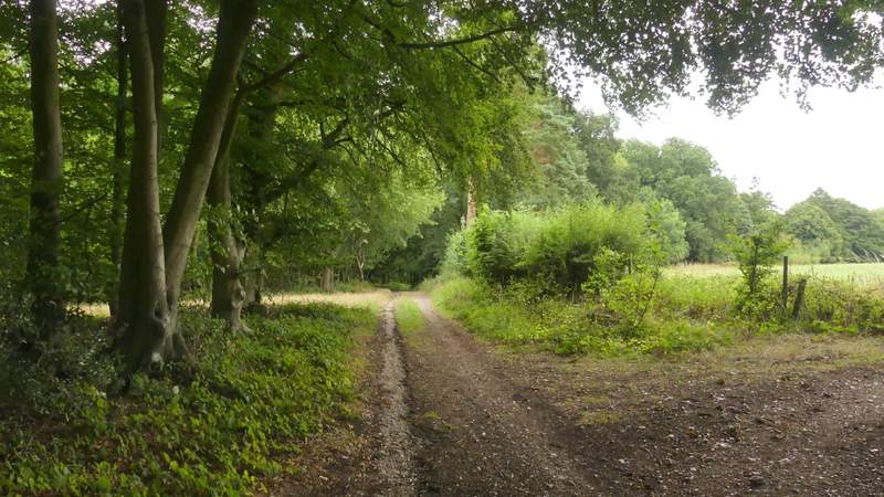
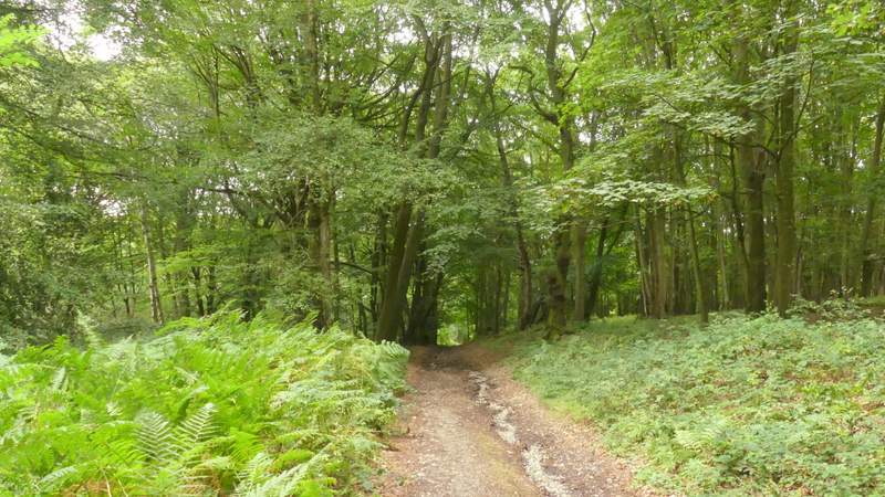
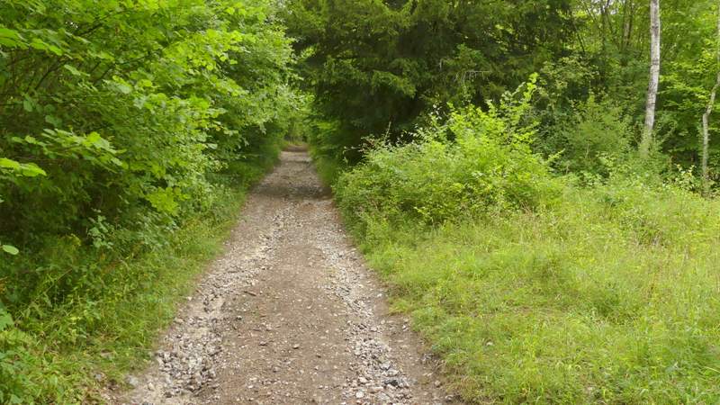
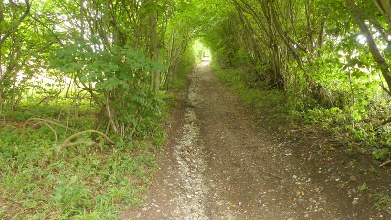
The path took me to a drive or track, where I turned right. At a track junction I went straight on, passing a property on my right. I followed the track for several hundred yards, soon dropping downhill through the woods of the Warburg nature reserve. In a valley bottom I went straight on at a track crossing, continuing through the woods and keeping left when I then came to a fork in the path. The byway I was following now curved left and dropped downhill to a junction in another valley bottom, where again I kept straight on, now on a bridleway along a stony track. There was now a long and quite steep climb as the track left the nature reserve, continuing uphill between hedges. This was a bit of a tough way to finish the walk, but at least the track brought me back to the corner of the lane across Maidensgrove Common, from where it was only a couple of hundred yards to where my car was parked.
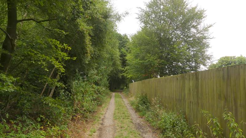
The start of the restricted byway heading to the Warburg nature reserve
The restricted byway heading to the Warburg nature reserve
The restricted byway descending through the Warburg nature reserve
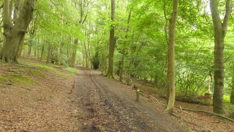
Warburg nature reserve
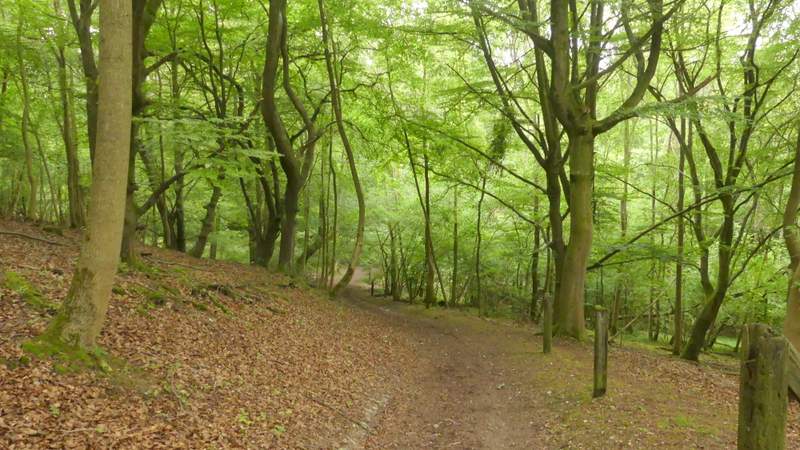
Warburg nature reserve, after I kept left at a fork
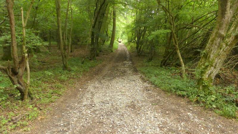
The restricted byway going uphill to Maidensgrove Common
The restricted byway going uphill to Maidensgrove Common
The restricted byway going uphill to Maidensgrove Common
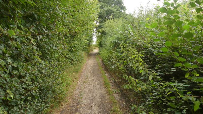
The restricted byway going uphill to Maidensgrove Common
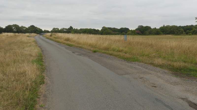
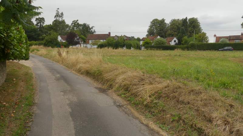
The lane crossing Maidensgrove Common
After all the very hot weather there has been this summer, in was nice to walk in cooler temperatures, around 21-22C I think. The day had started out quite bright and sunny, but unfortunately it had largely clouded over by about 11.30am and the afternoon was grey and overcast. I'm sure I'd have enjoyed the walk more if it had stayed sunny, but I must admit I felt a bit disappointed with the walk. It wasn't bad at all, but I think I'd expected to enjoy it a bit more. I enjoyed the first part (when it was sunny!) very much, but I found the long byway from Greys Green less interesting than I remembered - the hedges have grown taller and it felt more enclosed than I recalled, with hardly any views at all. But perhaps I was just in a bad mood - I was certainly aware that most of the summer flowers were over, and there were definite signs that Autumn was on its way.