Pete's Walks - Little Missenden, Misbourne Valley, Hodgemoor Woods (page 5 of 5)
If you are considering walking this route yourself, please see my disclaimer. You may also like to see these notes about the maps and GPX files.
I turned left, and then went right at a road junction, with a football pitch to my left. Near a bench on the right, I forked right from the lane across an area of grass to reach another road. Over this a footpath started, initially with allotments over the hedge on my left. It then crossed a ploughed field and entered s wood called Tragoe's Plantation, continuing just inside an edge of the wood, which at some point becomes Priestlands Wood. On exiting the wood I went slightly right, gently uphill across a large ploughed field. On the far side I turned right at a path junction, following the edge of the field a short way until the hedge turned left, where I went straight on across part of the field to another hedge corner where I turned left to reach a road in Penn Street.
Near the start of the path from Winchmore Hill to Penn Street
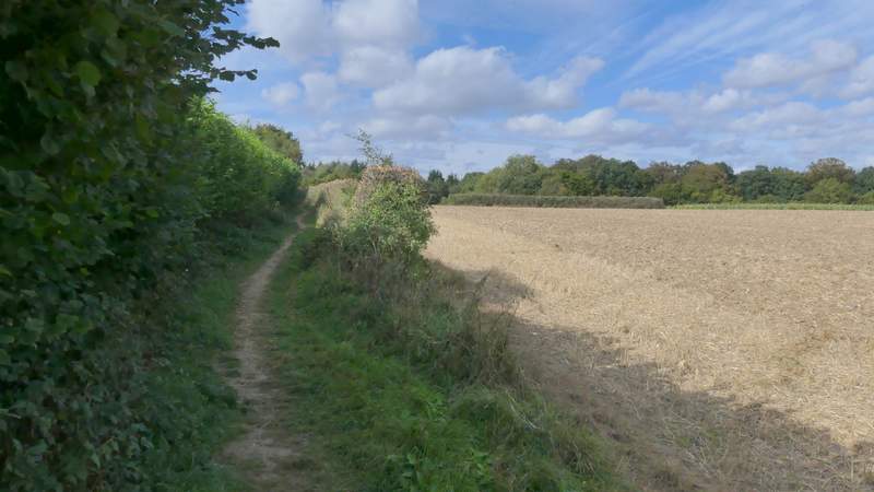
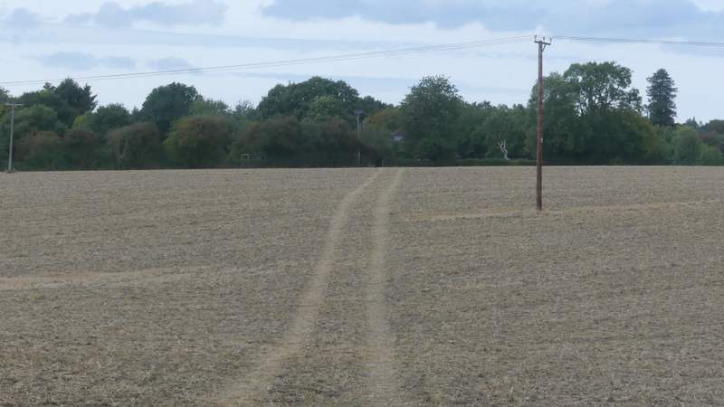
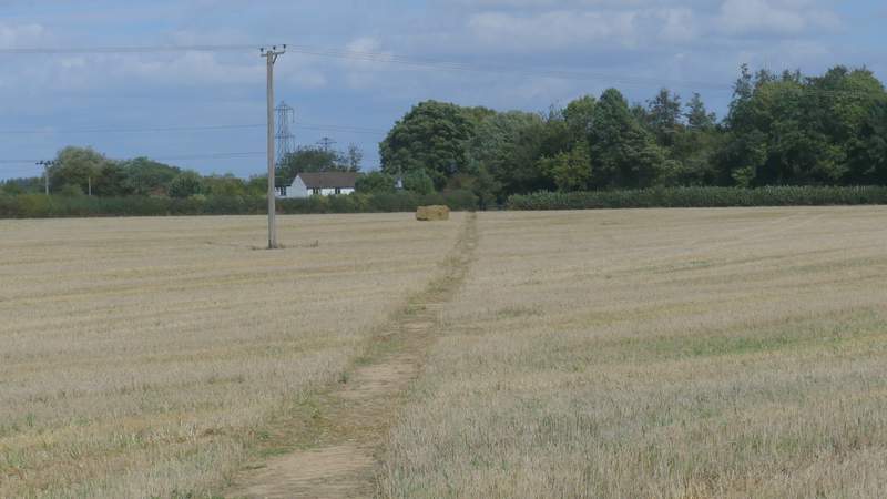
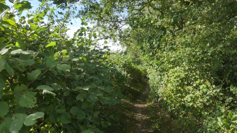
The path from Winchmore Hill to Penn Street, approaching Tragoe's Plantation
Tragoe's Plantation
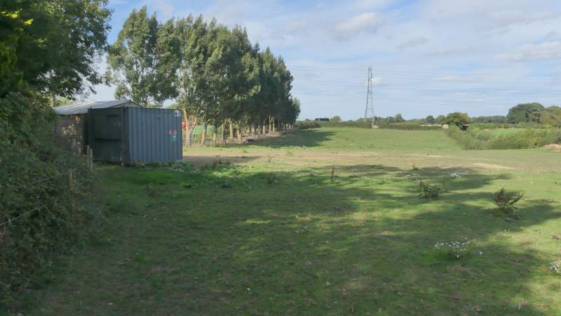
Priestlands Wood
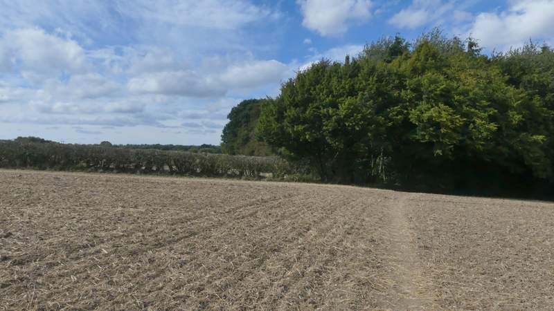
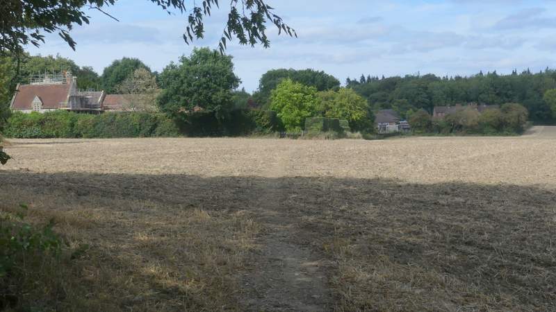
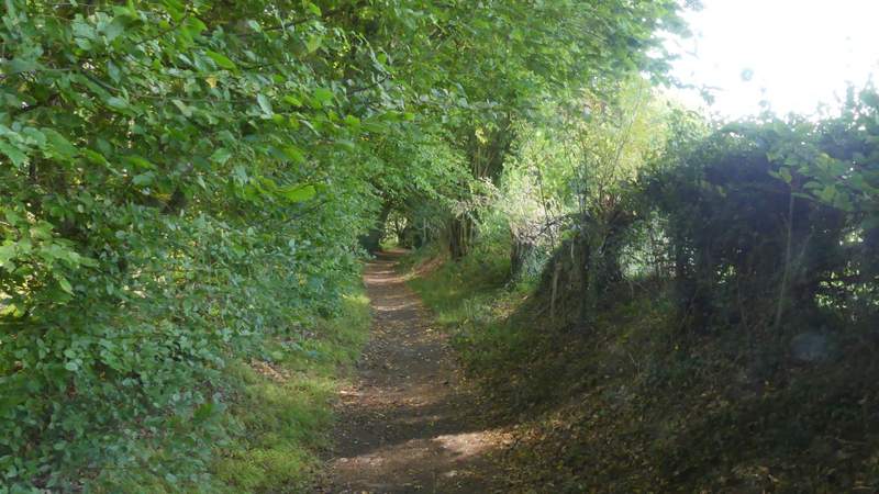
The path from Priestlands Wood to Penn Street
The path after I turned right, along the edge of Penn Street (it turns left beside the hedge)
I went just a few yards right along the road, then took a path on the other side that soon brought me to Penn Street church, on my right. A short way further on, I turned right at a path junction (now in Penn Wood) and passed another side of the church. After some while the path through the wood turned left, and after three or four hundred yards more, just before some wooden railings, I turned right to reach the A404 main road. Across this, I continued down a hedge-lined bridleway named Toby's Lane, then after a couple of hundred yards I turned right onto a path that crossed a large stubble field to reach the lane into the hamlet of Mop End, where I turned left.
The path past Penn Street church
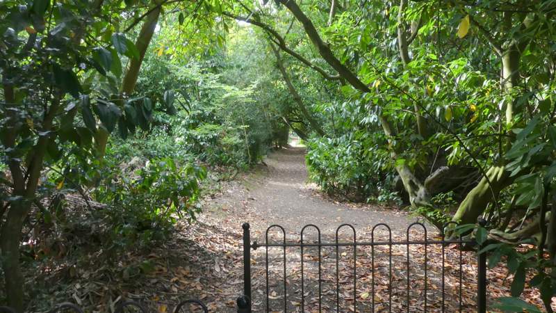
The path after I turned right just past Penn Street church
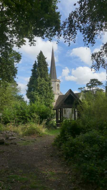
Penn Street church
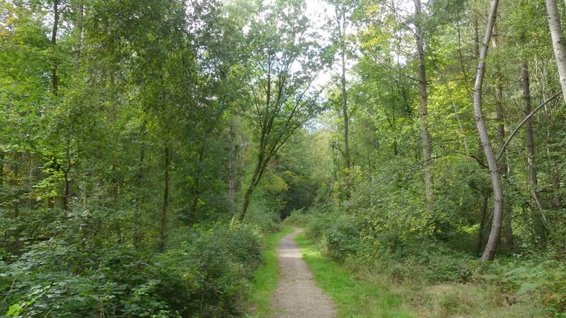
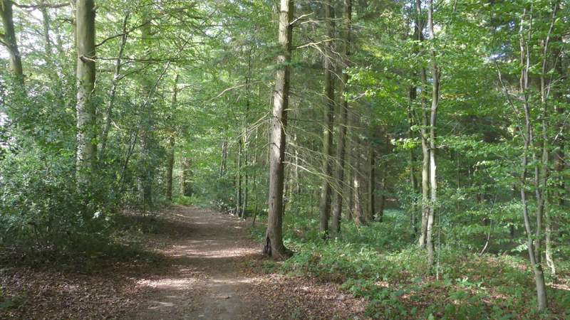
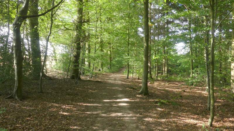
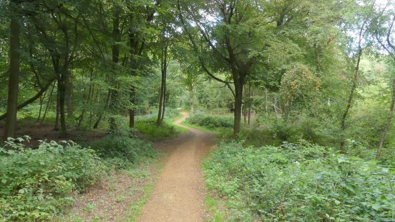
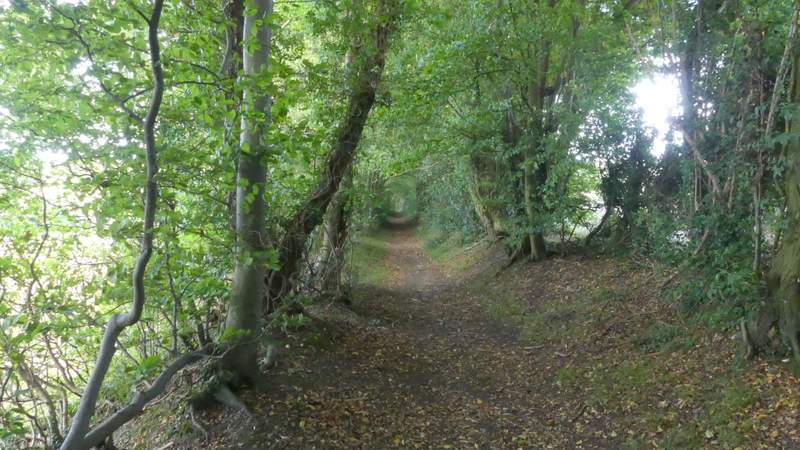
The path continuing through Penn Wood
Where I turned right to leave Penn Wood
Toby's Lane
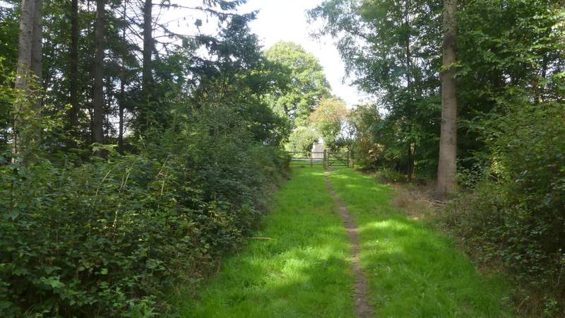
The path from Toby's Lane to Mop End
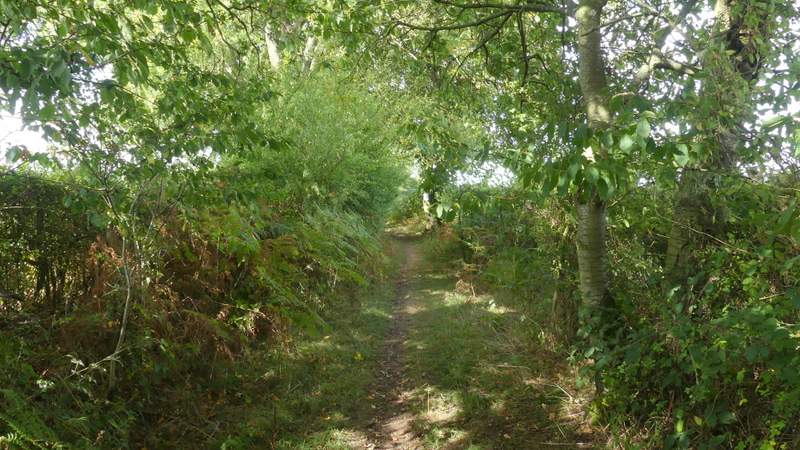
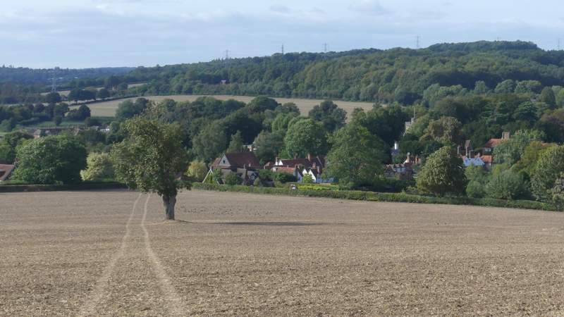
As I entered Mop End a fingerpost indicated where the bridleway of Mop End Lane went right, but I took the footpath starting at a stile in the hedge just behind the fingerpost. I crossed part of a paddock, aiming for the far end of a wooden fence and a line of trees on the left. Here I went over a stile and turned right along a track beside a hedgerow, with a stubble field to my left. Where a hedgerow came in on the left, the footpath went half-left across a smaller stubble field to another hedge, then crossed a corner of another field to another stile that brought me back to Toby's Lane (the reason I took this odd diversion from Toby's Lane when I did this walk the other way round was simply to follow some paths I'd not walked before). I turned right along the hedge-lined byway, continuing on past a wood on the left, then gently descending through a 'green tunnel' where the tall hedges either side met overhead. Here I looked out for a metal-kissing gate on the left, through which a path descended across a ploughed field, passing a solitary tree, with a fine view of the Misbourne Valley ahead of me. The path ended in a field corner, where I turned right along a lane into Little Missenden. When this came to a junction by The Manor House, I went a short way left to where I'd parked by the church
The start of the path from Mop End (it heads for the far end of the trees on the left)/p>
The path from Mop End
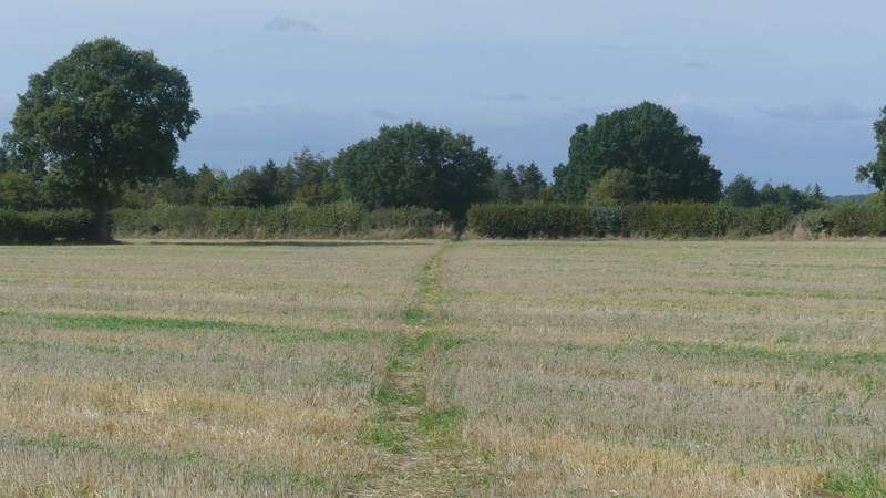
The path from Mop End, where it goes half-left
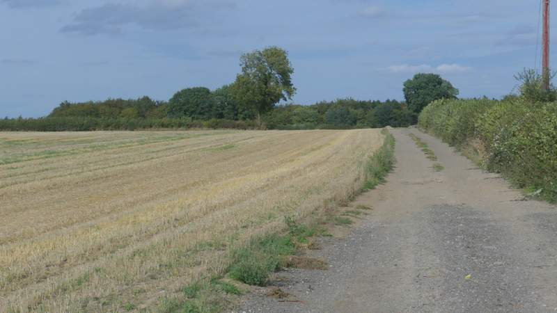
Toby's Lane
Toby's Lane
Toby's Lane
The path descending to Little Missenden, after I turned half-left from Toby's Lane
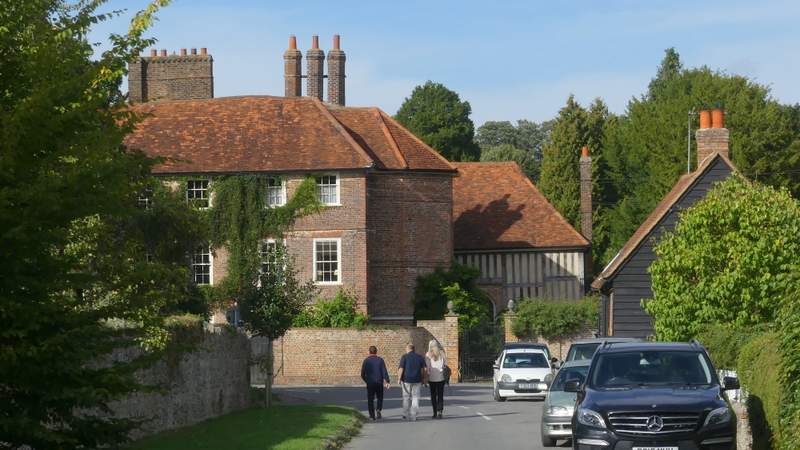
Little Missenden, looking towards The Manor House (which has featured in Midsomer Murders)
This was a pleasant but unexciting route, with only one gentle uphill section and a similarly gentle descent right at the end. As I said when I walked it in the opposite direction, it would be better to start at Amersham Old Town (today being a Sunday, the car park would have been free of charge!) so as to split the very flat section along the Misbourne Valley into two (at the start and end of the walk) - the only reason I didn't do so today was because then it would have been even more similar to another route I've walked.