Pete's Walks - Marsworth, Tring Station, Halton (page 6 of 6)
If you are considering walking this route yourself, please see my disclaimer. You may also like to see these notes about the maps and GPX files.
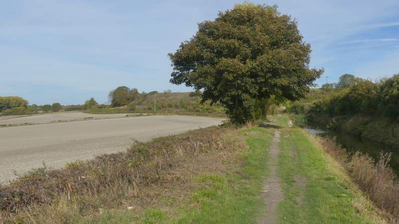
I then continued along the canal towpath. Fairly soon I passed under another bridge, then after about another three-quarters of a mile (just after passing the Cobblers Pits nature reserve) I reached Wellonhead Bridge. Beyond this the canal emerged from the tree that had largely lined it so far, and I had a field on my right with the houses of Bucklandwharf over the canal on my left. On reaching a road (the B4009, previously the A41 before they built the dual carriageway), I crossed over and went a few yards left before rejoining the towpath, now with the canal on my right. After half a mile or so I passed under the A41 dual carriageway, the canal then briefly running through a cutting, where I passed Drayton Beauchamp church up on my left.
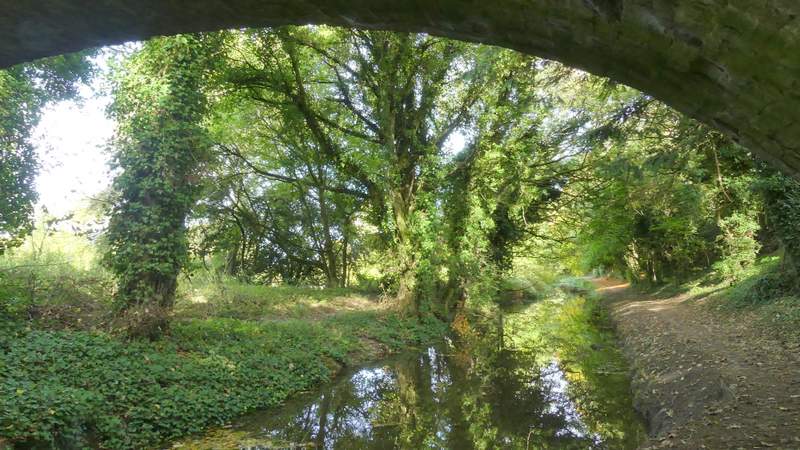
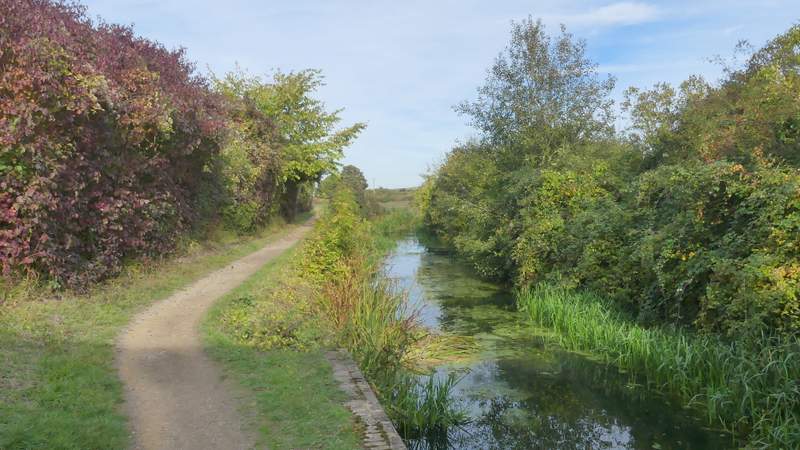
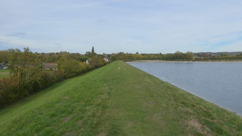
The Wendover Arm of the Grand Union Canal
The Wendover Arm of the Grand Union Canal
The Wendover Arm of the Grand Union Canal
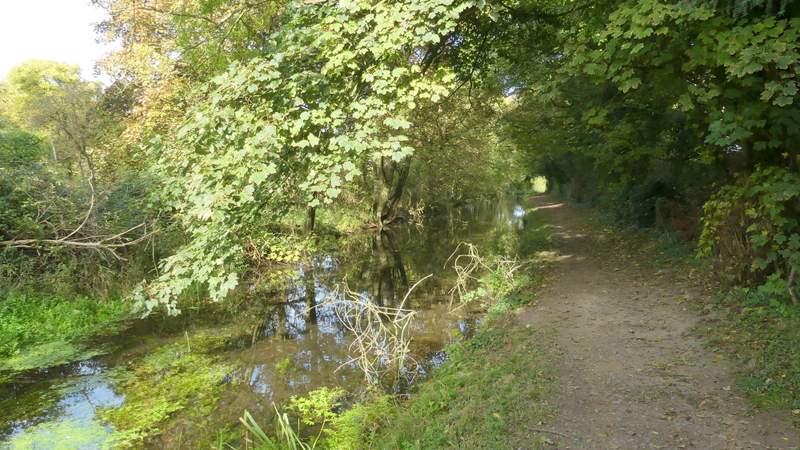
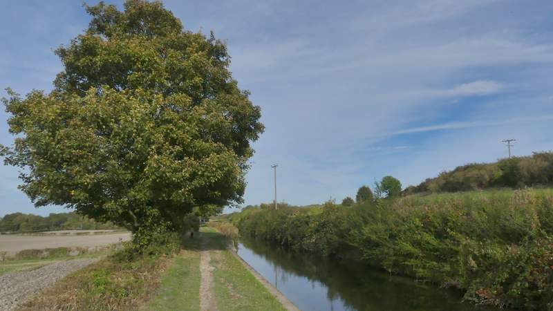
The Wendover Arm of the Grand Union Canal, approaching the bridge near Aston Clinton
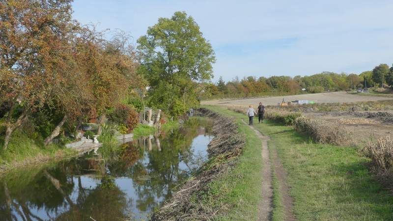
The Wendover Arm of the Grand Union Canal, passing Bucklandwharf
The Wendover Arm of the Grand Union Canal just after Bucklandwharf
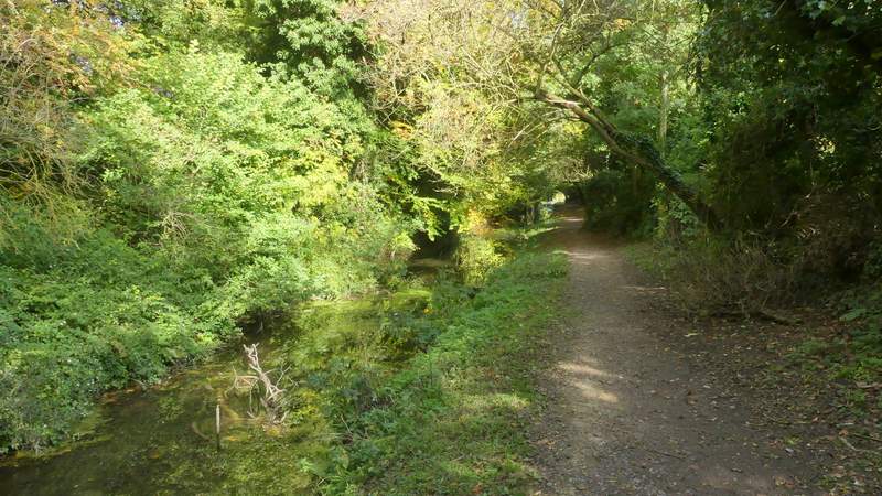
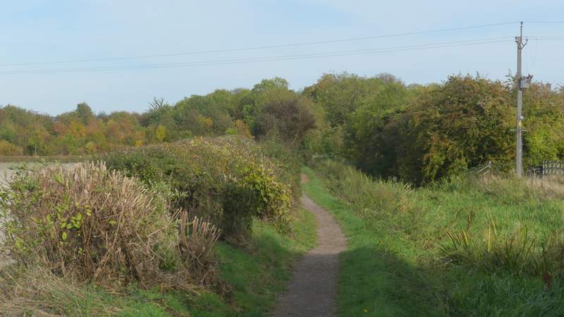
The Wendover Arm of the Grand Union Canal, just after the A41 bridge
The Wendover Arm of the Grand Union Canal, just before Drayton Beauchamp church
Shortly after going under another bridge, I reached the dry section of the Wendover Arm, which is currently being restored (I passed a working party at some point along here). Soon I could glimpse Wilstone Reservoir a little way to my left, though it was largely hidden by trees. Eventually, about a mile and a quarter from the last bridge (ignoring a couple of foot bridges) I reached a lane. You need to go right here to continue along the towpath, but I went left. I soon reached a junction where I turned right down another lane. Immediately after this turned left. I took a path on the right that ran between widely spaced fences a short way. On reaching a path T-junction I turned left, this path immediately turning right and passing Tringford Reservoir on my right. Beyond this I crossed a road and continued along another path, that went round two sides of Startop's End reservoir to bring me back to the car park at Marsworth.
The Wendover Arm of the Grand Union Canal, just after the bridge at Drayton Beauchamp
The Wendover Arm of the Grand Union Canal
The Wendover Arm of the Grand Union Canal
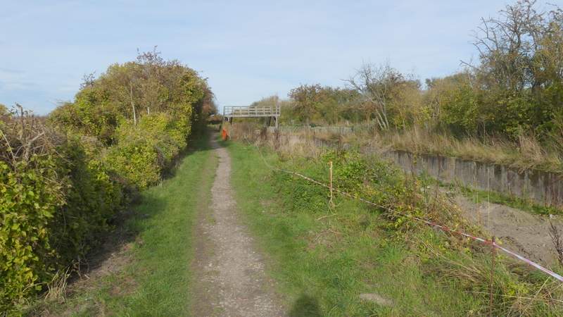
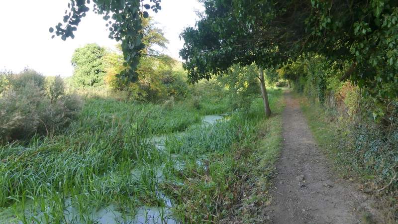
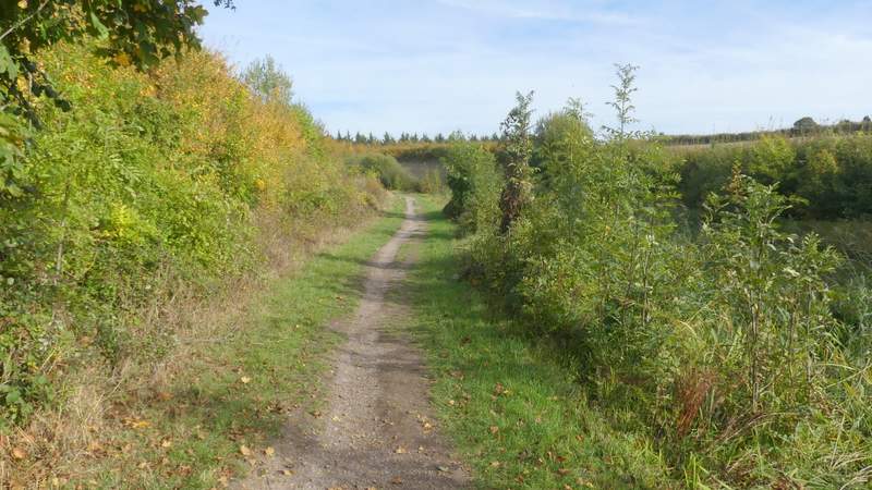
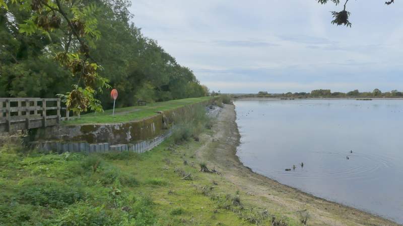
The dry section of the Wendover Arm of the Grand Union Canal
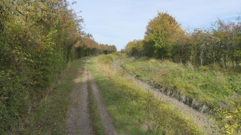
The dry section of the Wendover Arm of the Grand Union Canal
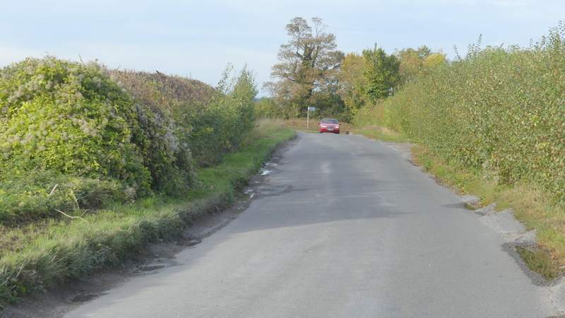
The lane after I turned left from the canal
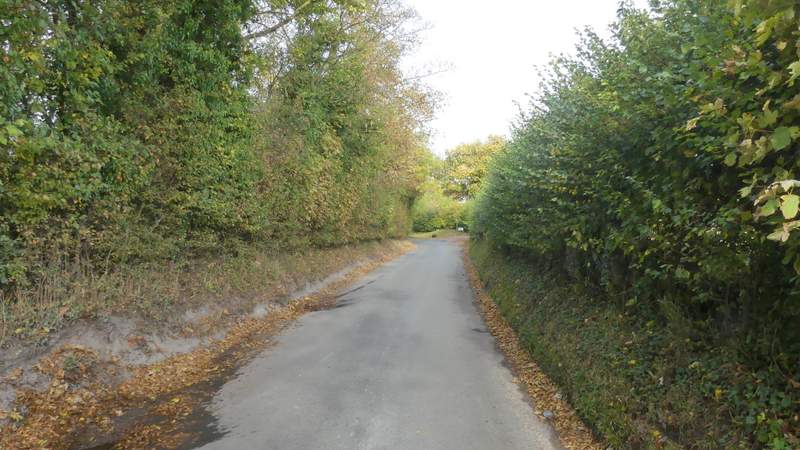
The lane after I turned right
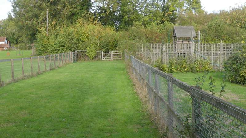
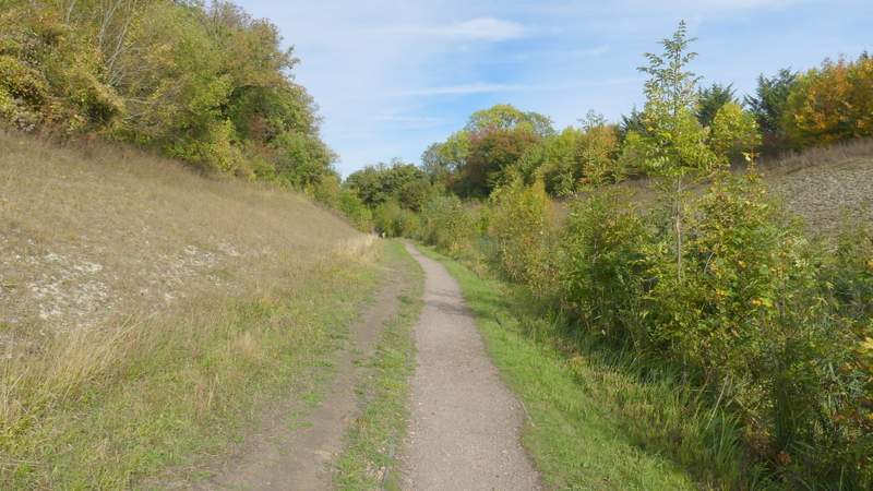
The path to Tringford Reservoir
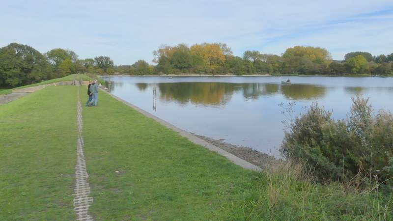
Tringford Reservoir
Startop's End Reservoir
Startop's End Reservoir
Again I was lucky with the weather, the forecast had been for a grey day but it was sunny and bright all the time I was walking, and very mild for the time of year. I chose this route today because there'd been heavy rain yesterday, so a walk along some relatively dry surfaced towpaths made sense, and also I needed to do a fairly local walk as I couldn't start too early. I really enjoyed the walk, but I still think it's better in the opposite direction because that way you get the very fine views as you descend from Stubbing's Wood towards Tring.