Pete's Walks - Watlington Hill, Swyncombe, Russell's Water (page 5 of 6)
If you are considering walking this route yourself, please see my disclaimer. You may also like to see these notes about the maps and GPX files.
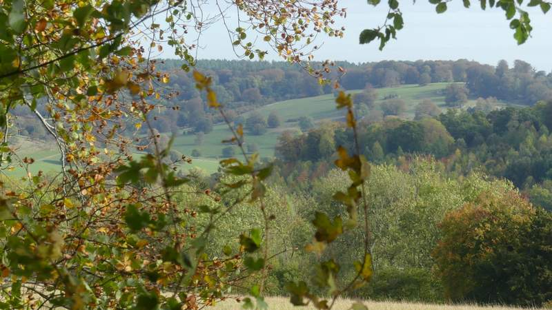
After a few hundred yards I reached another bridleway junction where I turned right, and soon started a steepish but fairly short bit of uphill. For once my timing was pretty good, as at the top of the slope I reached a race marshal for a bike race, just as two cyclists coming the other way told him he could go home as they were the last ones. A couple of years ago I seemed to end up on the route of a bike race, sponsored walk or other event every two or three weeks, this year I seem to be just missing such clashes, having seen a few notices for events on the week before or week after my walk. The bridleway ended at Russell's Water, where I turned left down a lane, then turned right along a track to sit on a bench next to the pond that gives the place its name. As I ate a very late lunch, I once again noticed the large fish in the pond.
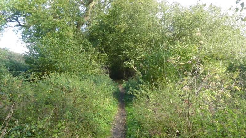
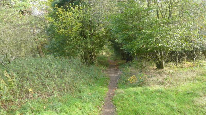
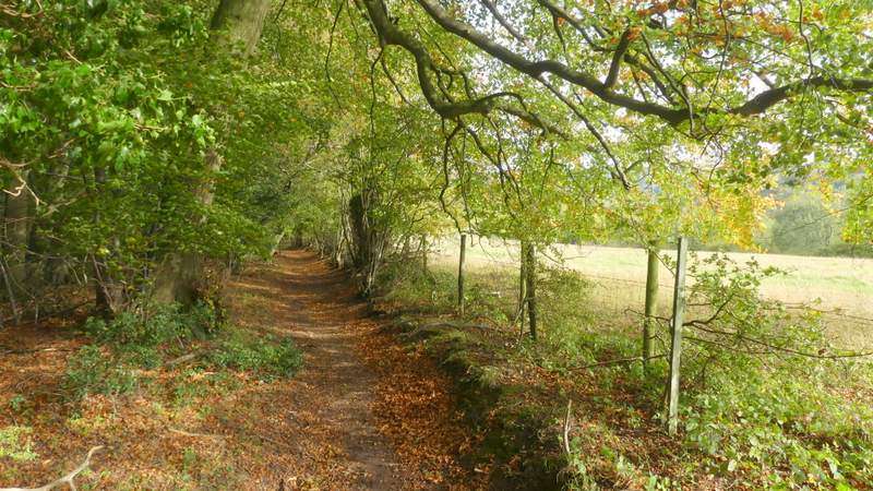
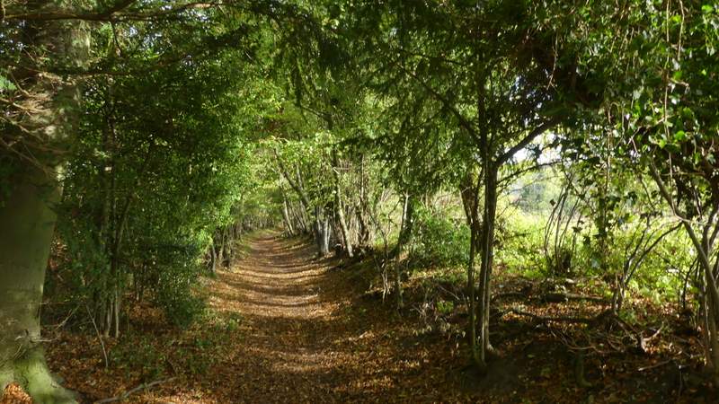
The start of the bridleway up to Russell's Water, after I turned right
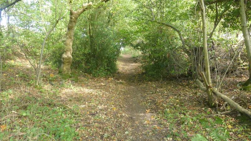
The bridleway up to Russell's Water
The bridleway up to Russell's Water
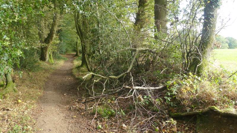
View left from the bridleway up to Russell's Water
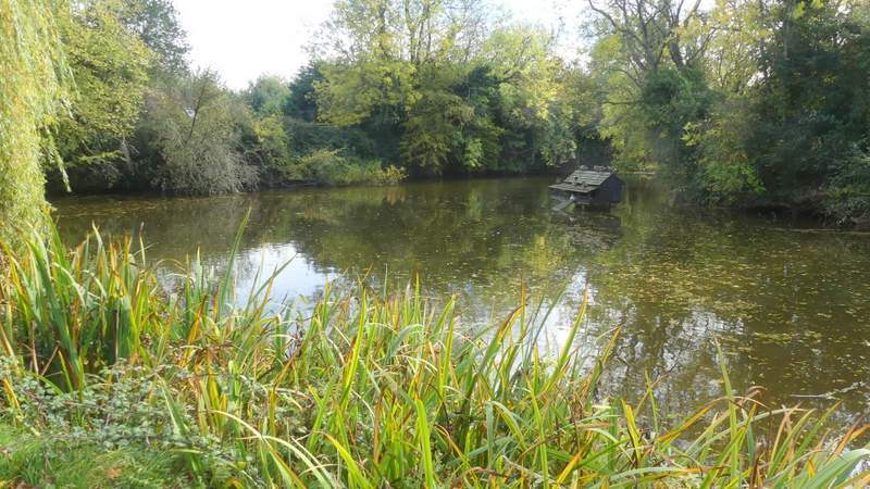
The pond that gives Russell's Water its name (Russell was a butcher, apparently)
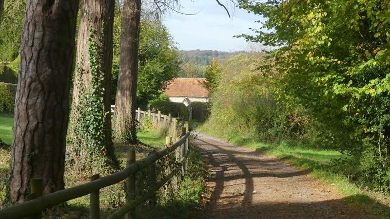
Lunch over, I continued along the track, turning left in front of some bollards and then going right to reach the large grassy space of Russell's Water Common. I walked straight on into the middle of the common, then turned right and headed for some farm buildings. From here a bridleway continued, initially beside a tall hedge on my left and a field on my right. Later on I had Long Wood to my left. About half a mile from the farm I went straight on at a path crossing. I'd only walked the next part of the bridleway once before in this direction, and I'd forgotten how pleasant it was. It ran along the edge of the wood, passing numerous beech trees whose branches overhung the bridleway, with occasional views to my right over a valley whose far side was wooded. It was gently downhill too (so wouldn't be quite so pleasant the other way!). Eventually it merged with another bridleway coming in from the right, where I went left down a drive which soon became a lane and passed Pishill church.
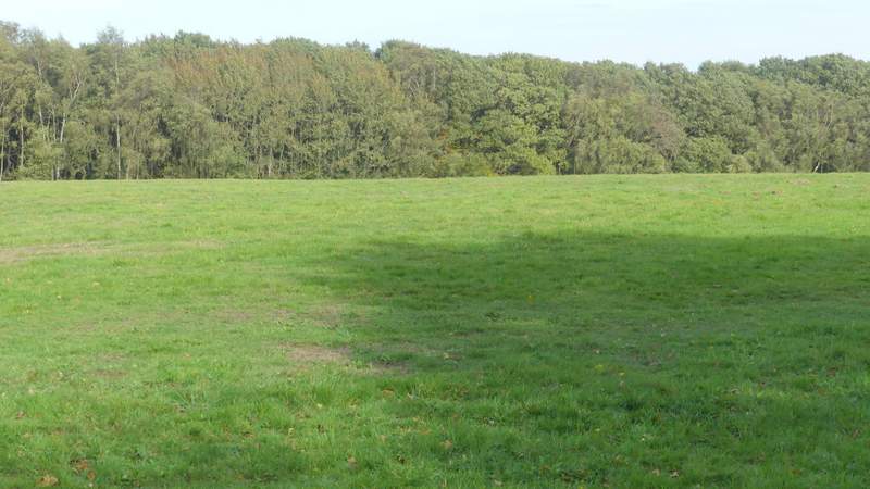
Russell's Water Common
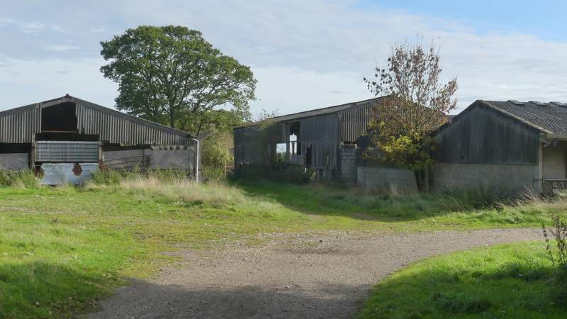
The farm next to Russell's Water Common
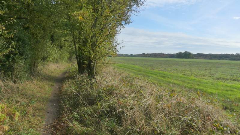
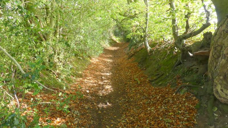
The bridleway to Pishill
The bridleway to Pishill
The bridleway to Pishill
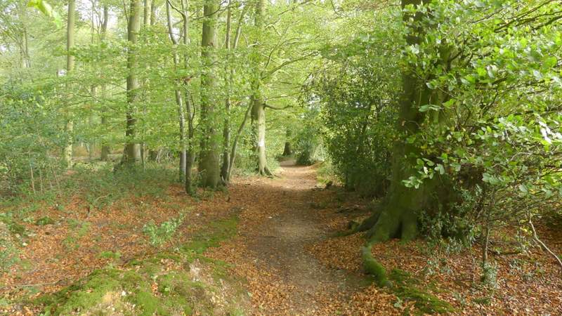
The bridleway to Pishill
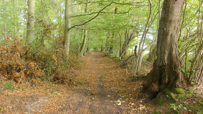
The bridleway to Pishill
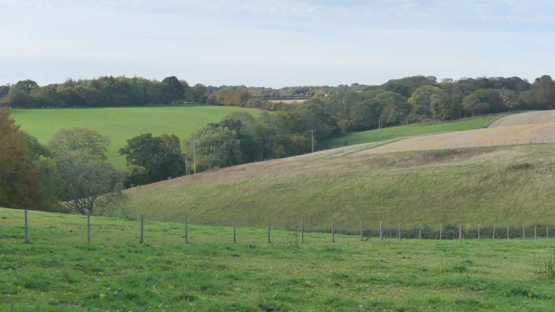
View towards the deer park at Stonor
The bridleway to Pishill
The bridleway to Pishill
Approaching Pishill church
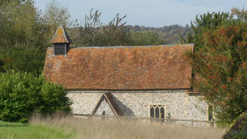
Pishill church
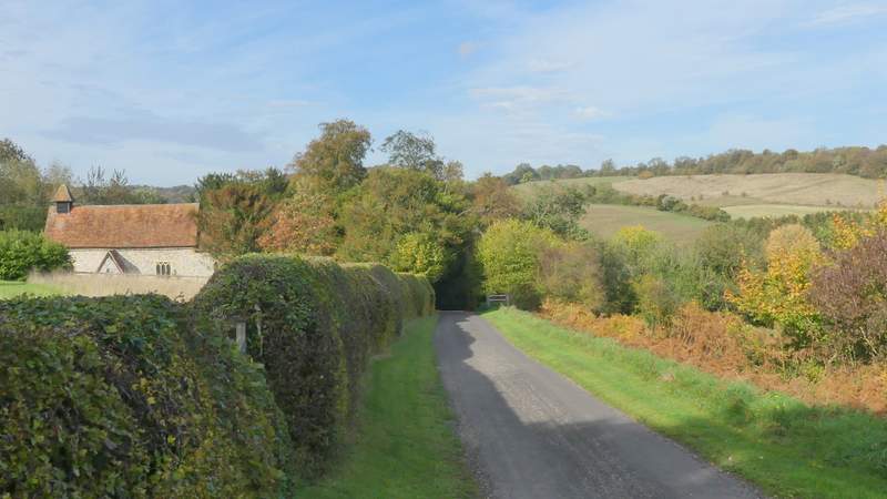
The lane past Pishill church