Pete's Walks - Malvern Hills walk (page 3 of 6)
If you are considering walking this route yourself, please see my disclaimer. You may also like to see these notes about the maps and GPX files.
I spent a few minutes admiring the magnificent views from the top of Worcestershire Beacon, then continued northwards just picking my way amongst a number of paths descending this side of the Beacon. Partway down I stopped to chat to another walker, who turned out to live locally and was able to tell me about other hills to walk in the part of the country. I then came down to a low point in the ridge where several bridleways crossed the hills (this is possibly called The Dingle). Here I bore slightly left to go up Sugarloaf Hill (I could have bypassed it by following a track round to its east, the way I'd be coming back in a short while).
Approaching the top of Worcestershire Beacon
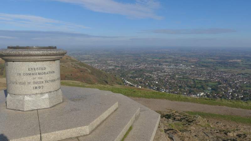
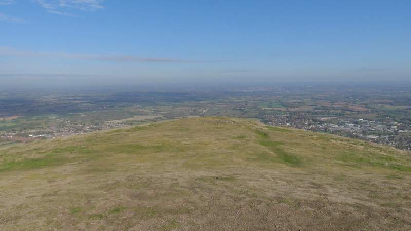
Looking northeast from Worcestershire Beacon
Looking north from Worcestershire Beacon
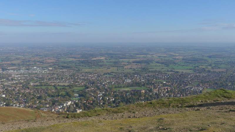
Looking east from Worcestershire Beacon
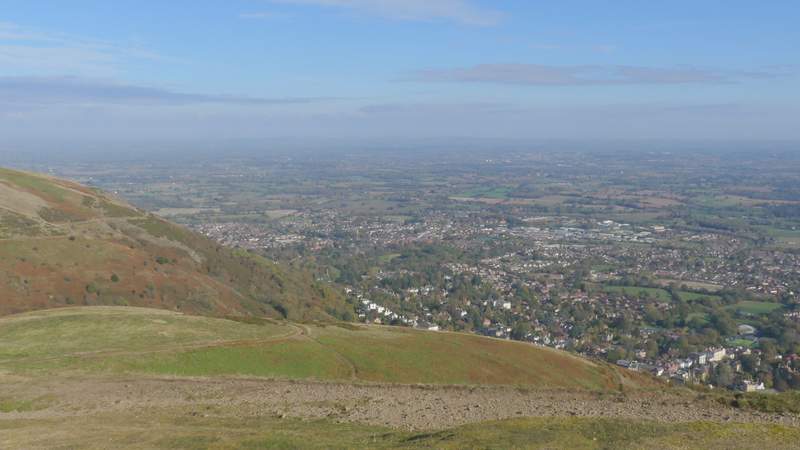
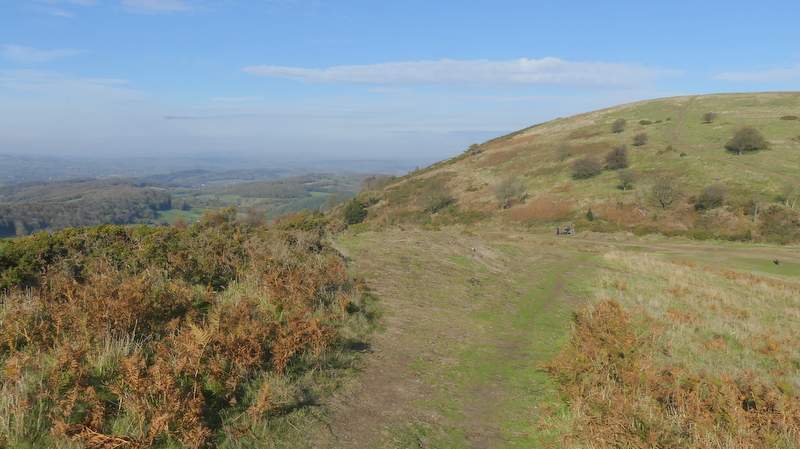
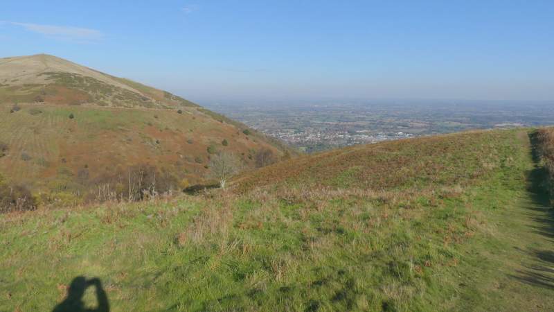
Looking northeast from the path descending northwards from Worcestershire Beacon
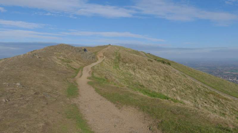
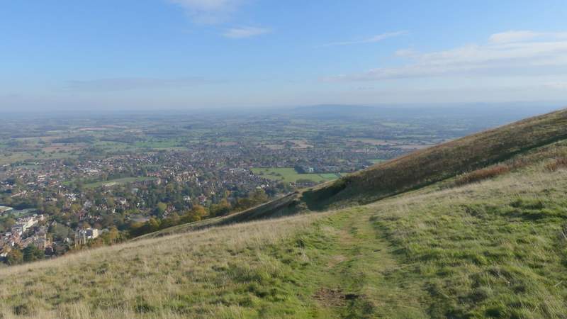
The path descending northwards from Worcestershire Beacon
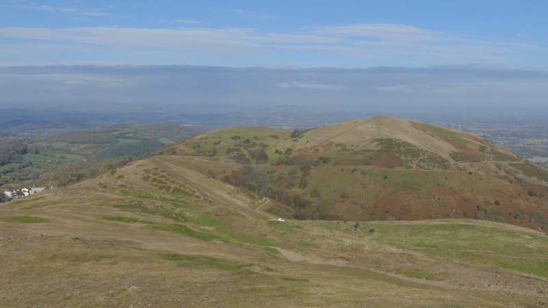
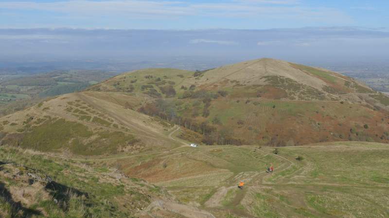
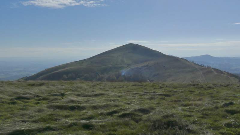
The path descending northwards from Worcestershire Beacon (the hills ahead, from left to right, are Sugarloaf Hill, Table Hill and North Hill)
There was then a gentle descent - Table Hill and North Hill didn't look too big from Sugarloaf Hill, but at the foot of Table Hill I realised I had more uphill than I'd thought. There were more great views from the top of Table Hill, where for the first time I had uninterrupted views northwards. I then turned right, eastwards, and made my way to the top of North Hill where the views were even better.
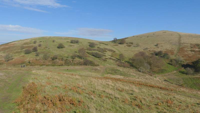
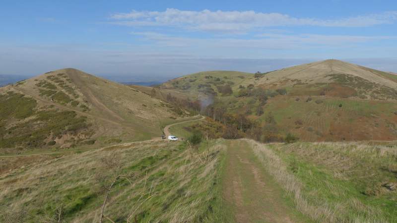
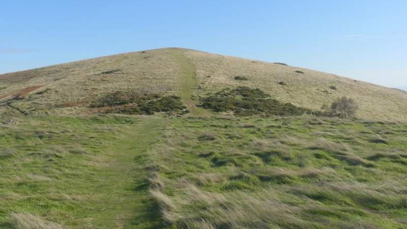
Table Hill and North Hill from Sugarloaf Hill
The path from Sugarloaf Hill to Table Hill
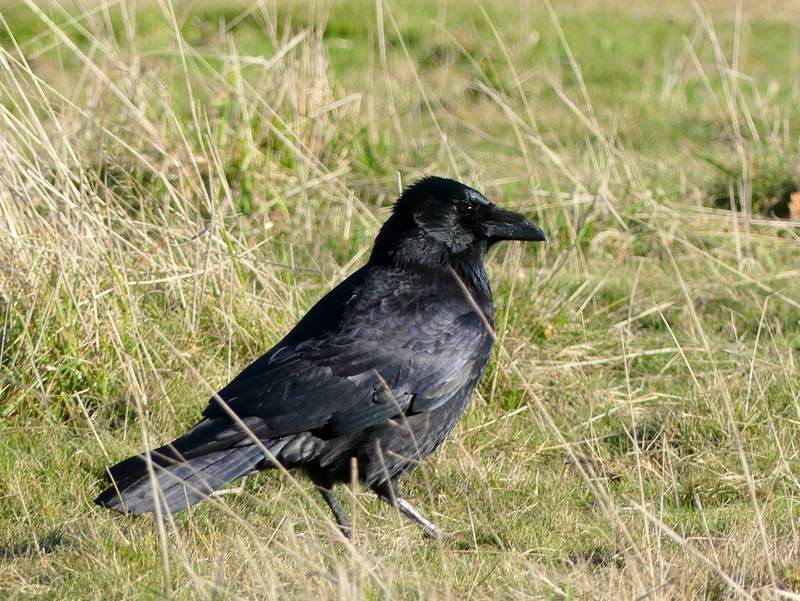
A Raven
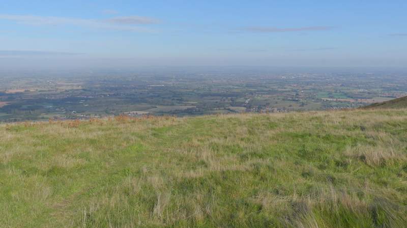
Looking north from Table Hill
North Hill from Table Hill
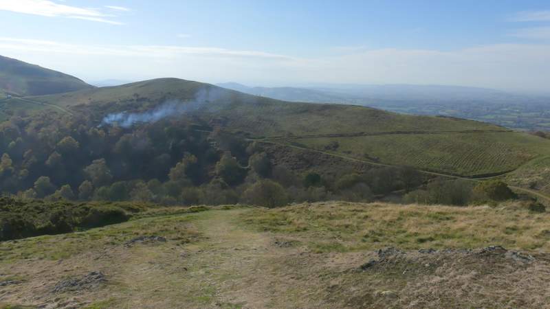
Looking south from North Hill, back to Worcestershire Beacon
Looking north from North Hill
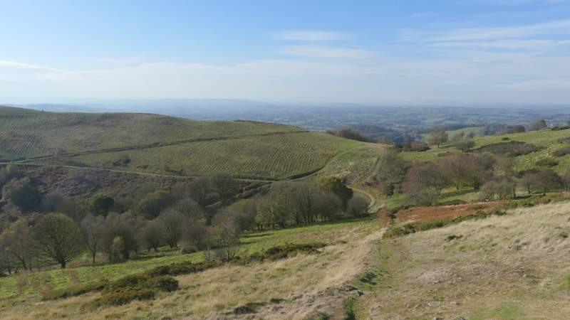
It was now time to turn round and head back to the British Camp car park. I took a path going due south, which after a while turned right and headed down to a confluence of paths by a bend in a track (I'd seen this path from a distance, I could have taken a shorter route by following a path going southwest from the top of North Hill). I continued along the track, with Sugarloaf Hill on my right (this was the track I mentioned earlier) - I passed a party of volunteers from the Malvern Hills Trust clearing scrub here. Just past the confluence of paths at The Dingle, I turned left along a bridleway to head briefly eastwards. I went straight on at the first junction I came to, instead of forking right, but the bridleway I was on soon turned right anyway, to continue southwards along the eastern flank of the hills.
The path I took down North Hill, heading back south
The path I took down North Hill, heading back south
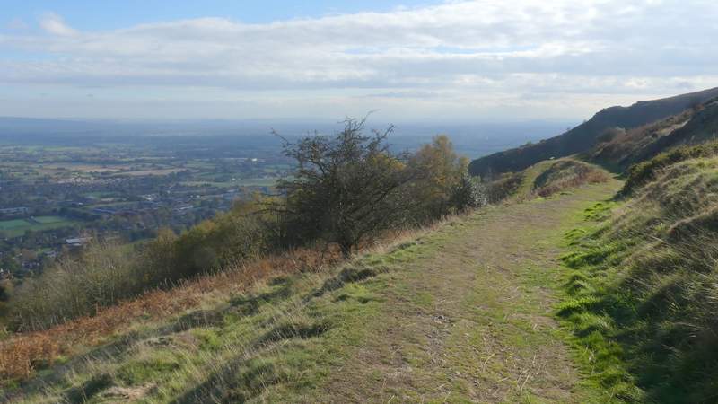
The start of the bridleway I took along the eastern flank of Worcestershire Beacon
The bridleway I took along the eastern flank of Worcestershire Beacon
The bridleway I took along the eastern flank of Worcestershire Beacon