Pete's Walks - Malvern Hills walk (page 4 of 6)
If you are considering walking this route yourself, please see my disclaimer. You may also like to see these notes about the maps and GPX files.
I'm afraid I can only be rather vague about much of the southward part of this route. The OS map (Explorer 190, I'd bought one in Ludlow) shows numerous bridleways on the eastern side of the Malvern Hill ridge (which is all an Open Access area anyway) but they weren't always easy to follow due to the number of equally clear other paths not shown on the map. But I knew I couldn't go too wrong, as I was simply trying to follow the steep hillside southwards without losing too much height too soon. The bridleway soon curved right into a rocky indentation in the hillside - there were some path junctions here, where I simply continued contouring along the hillside. After a little while the bridleway turned right again to reach the edge of a wooded area. Here I knew from the map I really wanted to go half-left (southeast) but there was no sign of that bridleway, so I had to go further left (east), this bridleway then soon turning northeast. Fortunately I'd read the map correctly and was where I thought I was, because after a few hundred yards I came to a bridleway junction where I could turn sharply right to continue in the southerly direction I wanted. A road down to my left gave further confirmation that I was where I thought I was.
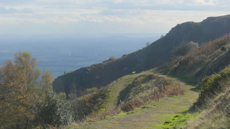
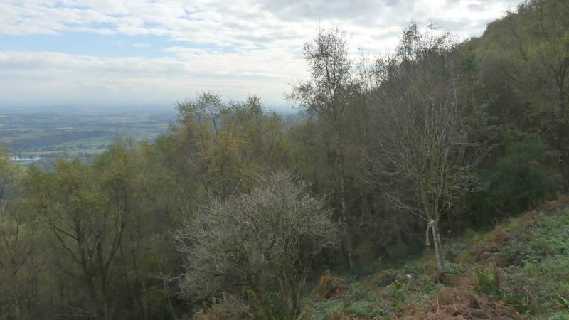
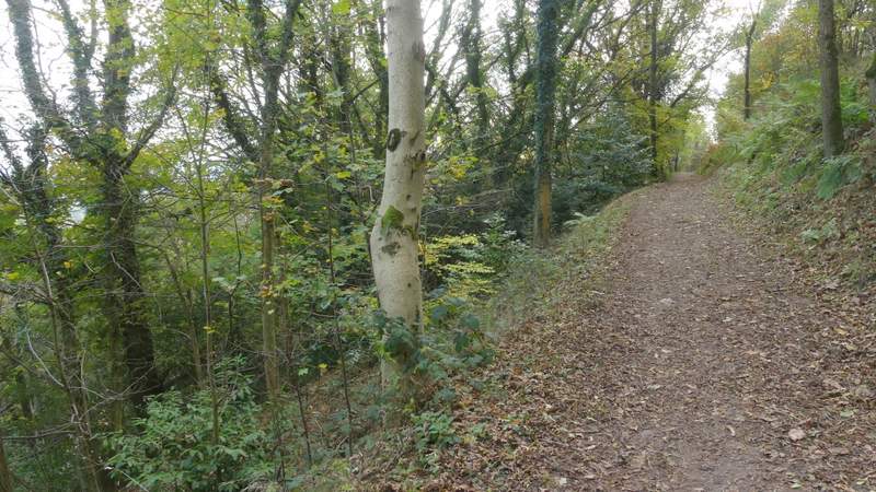
The bridleway I took along the eastern flank of Worcestershire Beacon
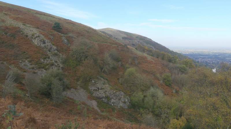
Looking back to North Hill
The bridleway I took along the eastern flank of Worcestershire Beacon
Looking back to North Hill
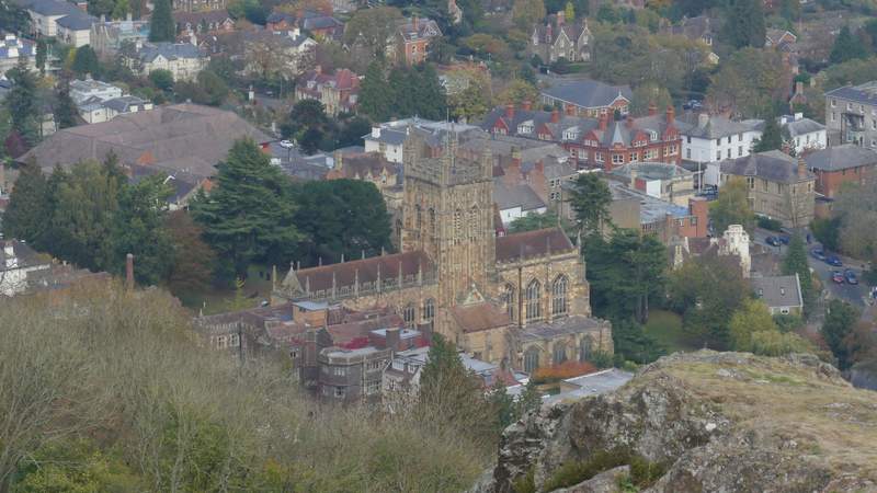
Great Malvern Priory (now the parish church)
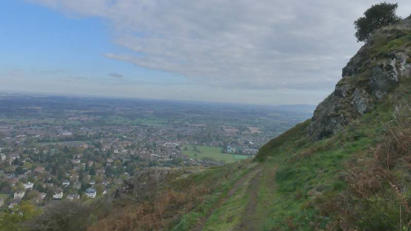
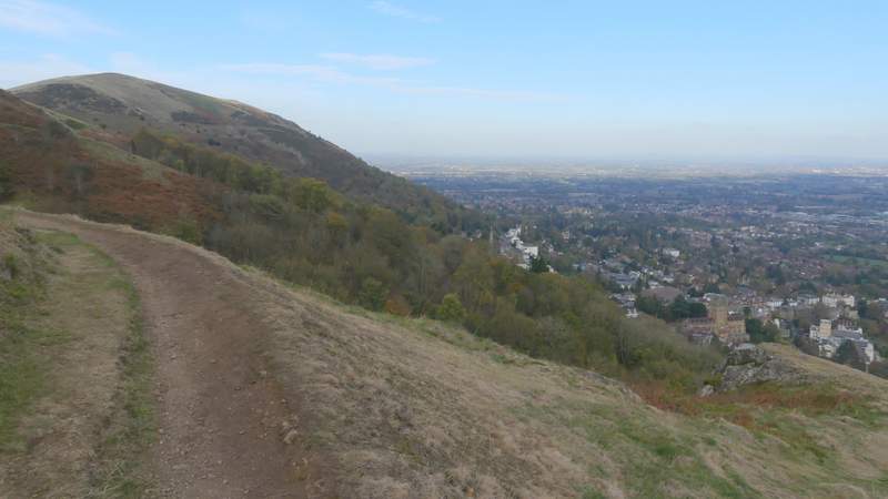
View ahead south
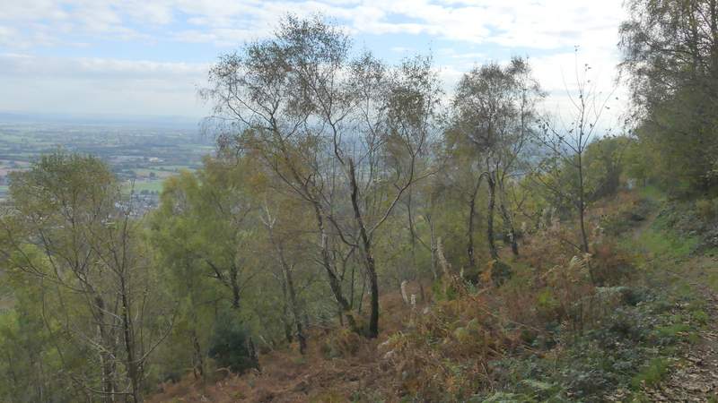
The bridleway I took along the eastern flank of Worcestershire Beacon
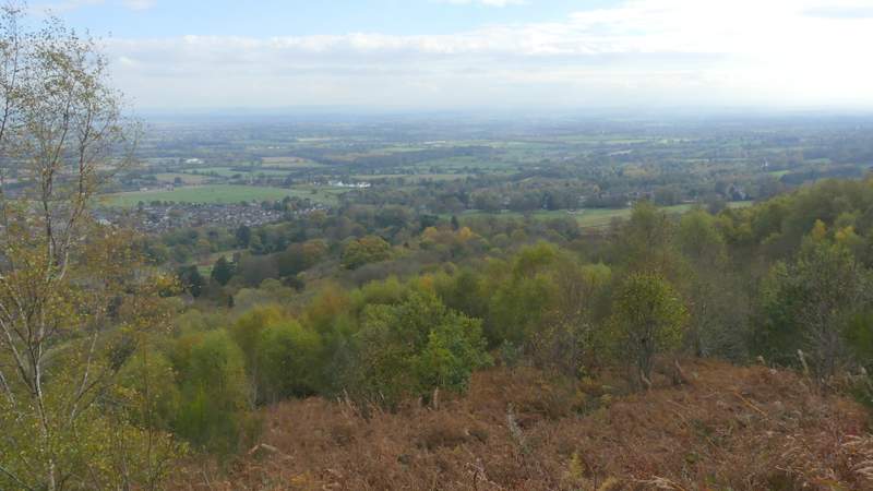
View ahead south

The bridleway going northeast, where I went round two sides of a triangle of bridleways
The next bridleway, heading down towards the road
At one point the bridleway nearly touched the road (a short path did join it to the road), but instead it headed slightly right and started to head gently uphill (the OS map shows that all routes on this side of the hill pass this point, unless you stay very high and return to the col between Worcestershire Beacon and Summer Hill). The bridleway soon turned right and came to a grassy area where it went left, almost immediately coming to a junction where, after checking the map, I forked right. There was now a longer stretch of slight uphill walking through woods, which brought me back to the circular stone marker saying Gold Mine, where I turned left and retraced my steps down Beacon road to Wyche Cutting. Despite a few navigational uncertainties, I'd enjoyed this return route (there'd still been a lot of good views eastwards and southeastwards) and didn't regret not following the top of the ridge southwards.
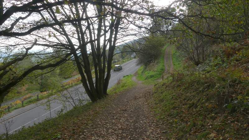
Where the bridleway almost touches the road
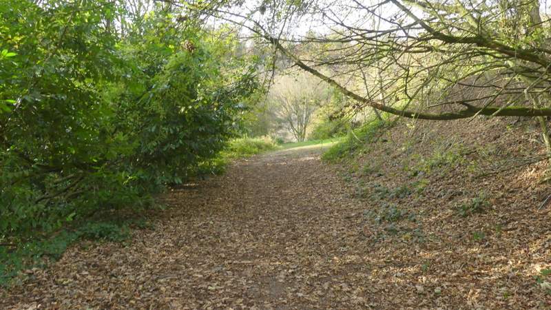
A little further along the bridleway - I turned left by the green gras in the centre of this shot, then forked right at the next junction (this took me slowly uphill and eventually brought me back to the circular stone at Gold Mine, where I turned left and continued down Beacon Road to Wyche Cutting)
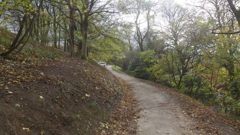
Beacon Road, about to pass Upper Beacon Road car park
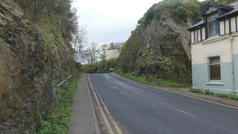
Wyche Cutting