Pete's Walks - Cholesbury and Whelpley Hill (page 4 of 6)
If you are considering walking this route yourself, please see my disclaimer. You may also like to see these notes about the maps and GPX files.
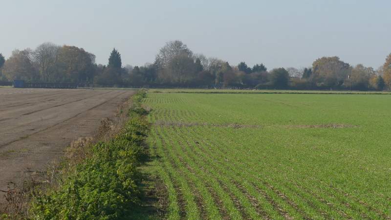
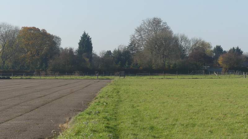
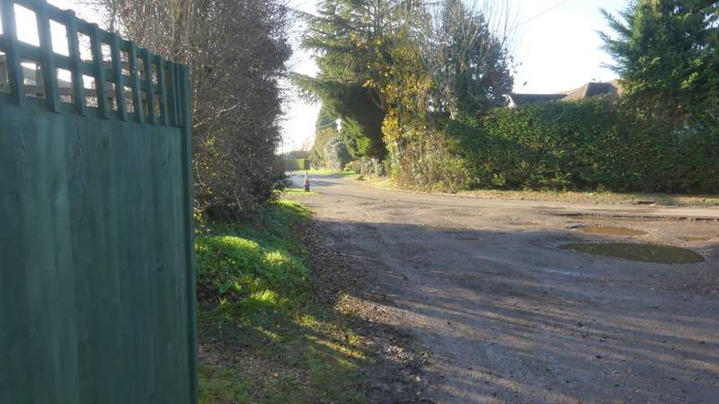
The path then ran for several hundred yards just right of a runway. On eventually reaching a fence at the far end, I turned right for a few yards, then turned left with fences either side of me, then turned right again beside a hedgerow to reach Berry Farm. Here I went left along a short track or drive to reach a bend in the road through Whelpley Hill, where I went more or less straight on.
The path continuing beside the runway
The path continuing beside the runway
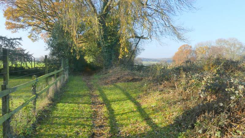
The path turns right at the end of the runway, goes left between the fences near the centre of this shot, then goes right along the hedgerow towards Berry Farm
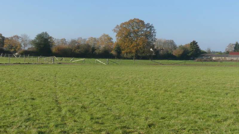
Approaching Berry Farm
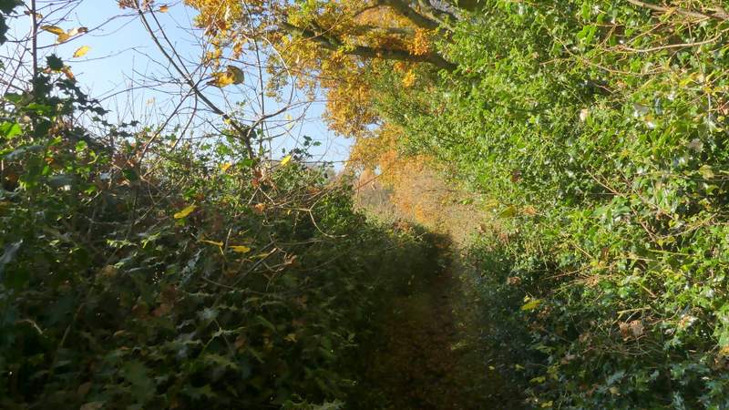
Entering Whelpley Hill
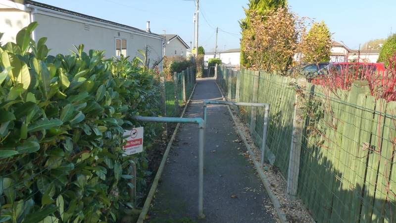
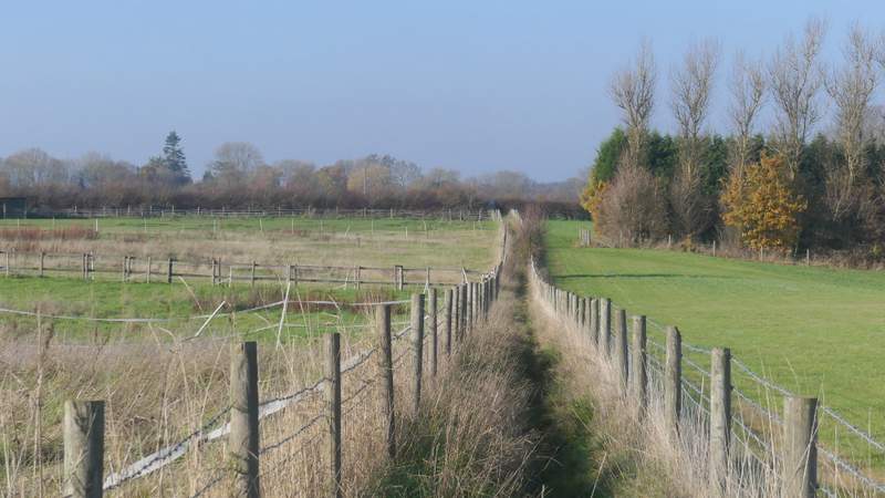
Where the road turned left, I took a path on the right (by a telephone box) which went through a Mobile Home park and then continued between wire fences with paddocks or enclosures either side. It then went straight on across a very large arable field to reach Sales Farm, where I went straight on at a junction where the path became a bridleway, running between tall hedges that gave me hardly any views at all.
The path through the Mobile Home park
The path continuing to Sales Farm
The path continuing to Sales Farm
The bridleway passing Sales Farm
The bridleway continuing from Sales Farm
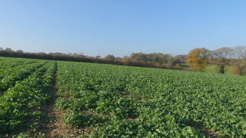
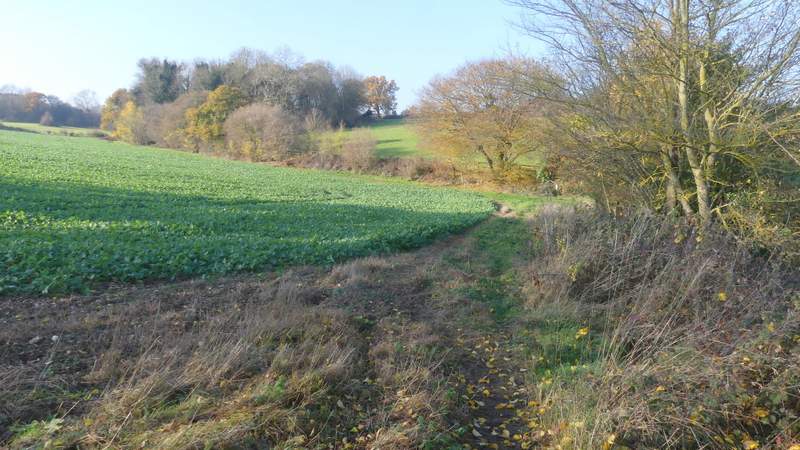
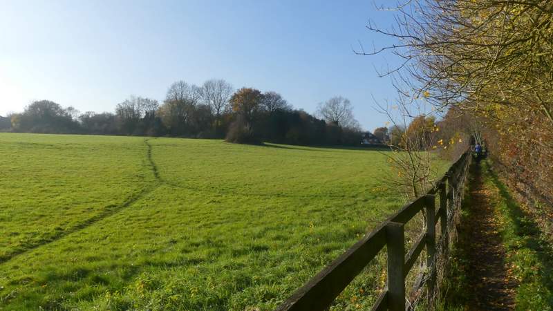
Where the bridleway turned right, I went through a gate and bore half-left across a huge and irregularly shaped paddock (perhaps 'horse field' would be a better description). The path gradually dropped downhill into a valley, passing the end of a line of trees or bushes on my right. I then had to go up the opposite slope of the valley, but the path was obscured by a crop of cabbages or some such, so I had to follow a faint tyre track through them that I knew was taking me too far left. So on reaching the top of the hill at the far side of this large field, I had to go about a hundred yards right to pick up the path again. The path now followed an old hedge row on my right, then turned left at a path junction in the next field corner. I followed the path a few hundred yards to reach Ashley Green (keeping right at a junction just before I reached the village), where I stopped in a wooden shelter on the green to eat my lunch.
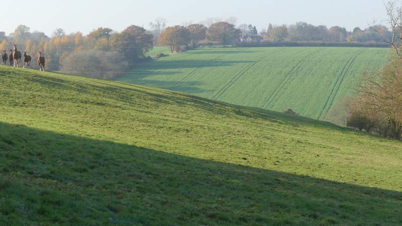
The path to Ashley Green (note the horses on the left)
The path to Ashley Green
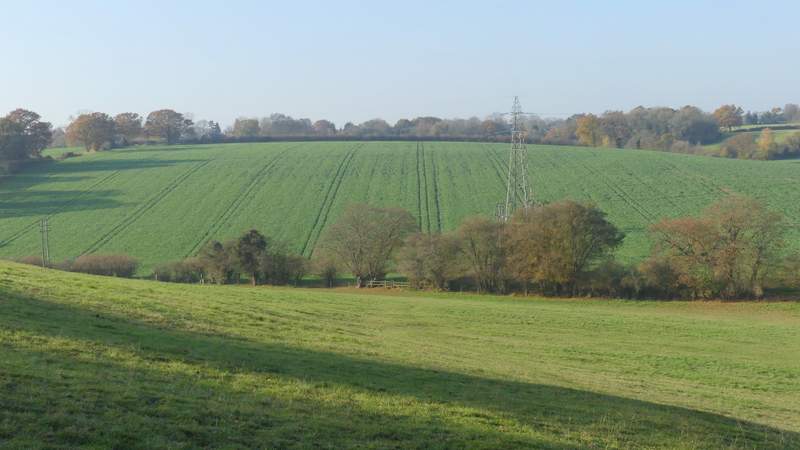
The path to Ashley Green (really it should go to the right end of the trees on the right)
The path to Ashley Green(I turned left at a junction in the field corner)
The path to Ashley Green
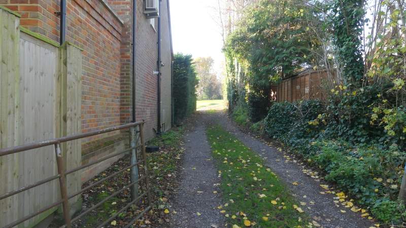
Entering Ashley Green
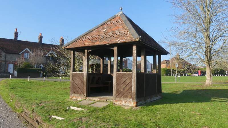
Shelter at Ashley Green (a very convenient place to stop and eat my packed lunch)