Pete's Walks - Maidensgrove, Nuffield, Shepherd's Green (page 6 of 6)
If you are considering walking this route yourself, please see my disclaimer. You may also like to see these notes about the maps and GPX files.
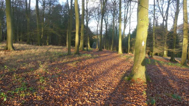
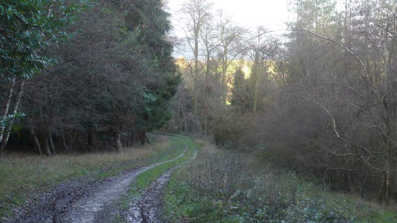
The heavy shower had stopped now, and I had some nice sunshine for the rest of the walk. Having crossed the main road I continued down a footpath on the other side which was soon crossing a large and flat arable field to reach Bushy Wood. On entering this fine beech wood the path went half-left through the trees, then joined a track through more woodland (Coney Burrow, I think). By a gateway it went slightly right, running just inside the right edge of a narrow part of the wood, with some nice views to my right. On leaving the wood I followed a fence on my right downhill to a stile, over which I turned right along a track that brought me to Valley End Farm and the lane running through the valley of Bix Bottom. I turned left along the lane, and after 300-400 yards I took my usual photo of the remains of the old church of St James.
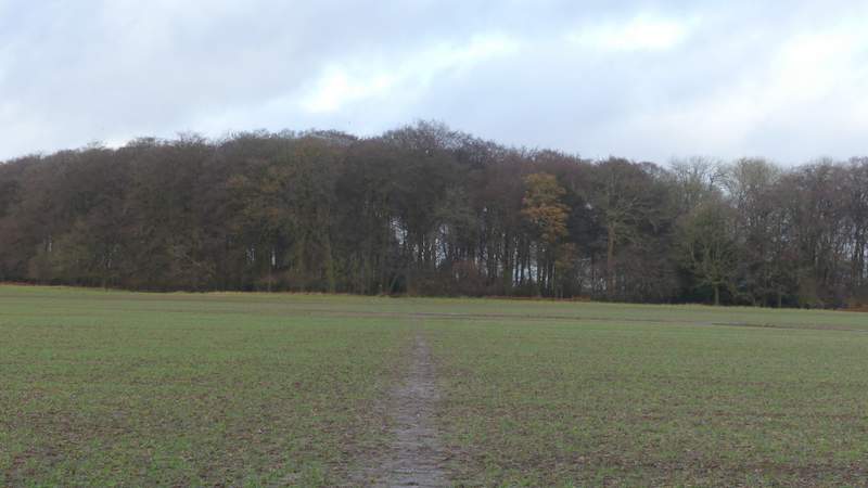
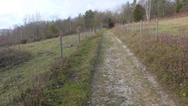
The path from Bix to Bushy Copse
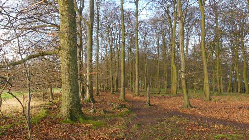
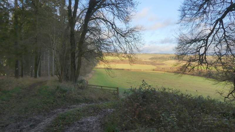
Bushy Copse
Bushy Copse
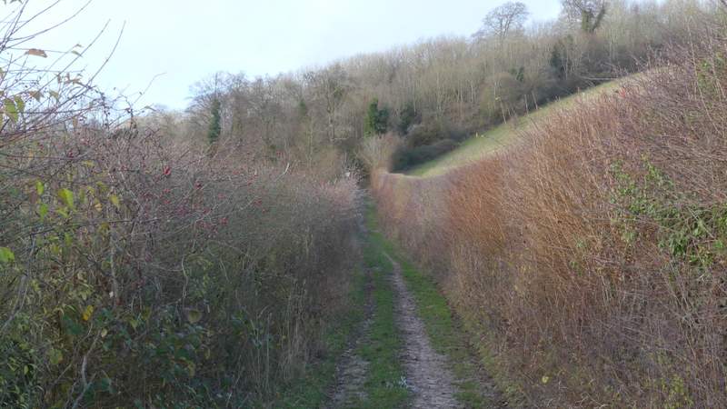
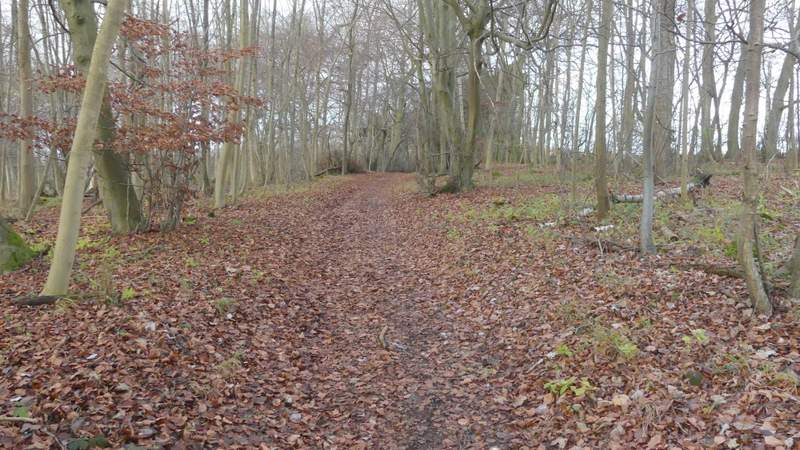
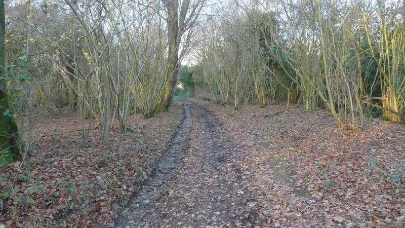
The path continuing from Bushey Copse into Coney Burrow
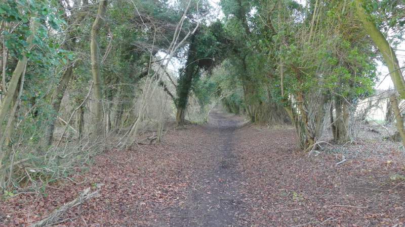
The path along the east side of Coney Burrow
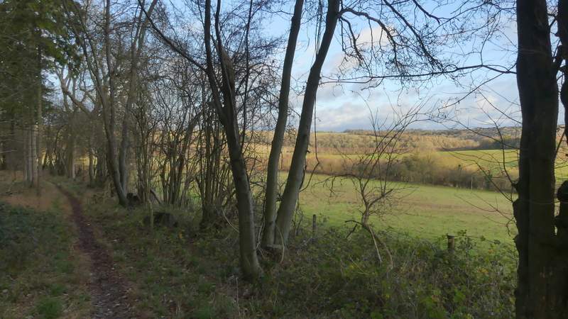
The path along the east side of Coney Burrow
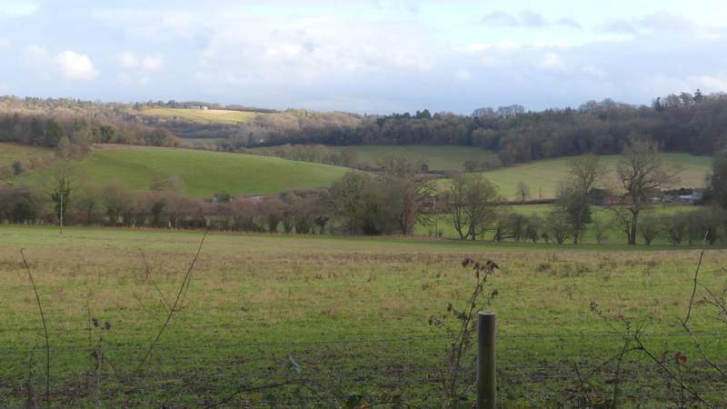
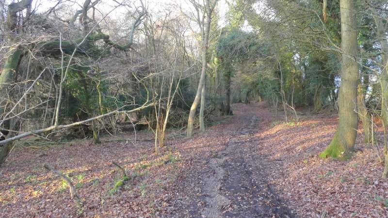
A view right from the path along the east side of Coney Burrow
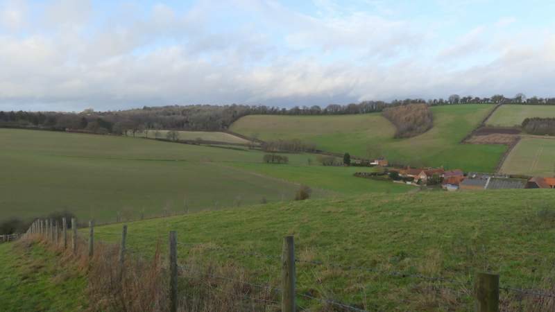
View ahead over Bix Bottom
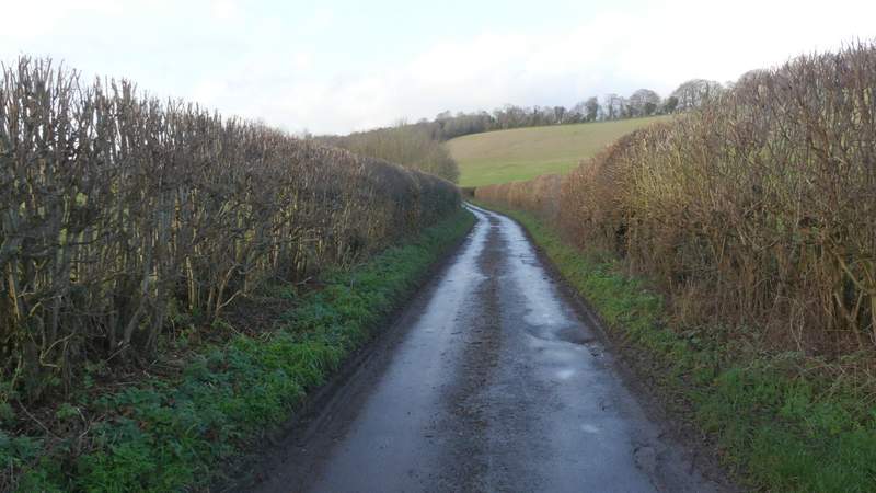
The lane in Bix Bottom
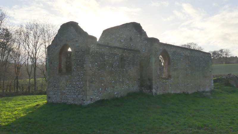
The remains of the old church of St James, Bix Bottom
Just past the church I took a bridleway on the right, that rose across the hillside between big hedges and then continued uphill through Freedom Wood - to my left here I soon had views out over the wooded Warburg Nature Reserve. The bridleway merged with a byway (Warmscombe Lane) that came in sharply from my right, and I now had almost half a mile of walking along the edge of the woods of the nature reserve, sloping down to my left, with fields to my right. This brought me to a dead-end lane in Maidensgrove (near Lodge Farm), where I turned left. When the lane went right, I took a short track on the left that brought me to Maidensgrove Common. I followed the left edge of the common to a bend in a lane, where I turned right to return to my parked car.
Near the start of the bridleway to Maidensgrove
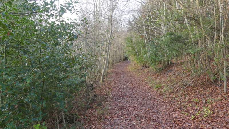
The bridleway to Maidensgrove
The bridleway to Maidensgrove
The bridleway to Maidensgrove
The byway to Maidensgrove
The byway to Maidensgrove
The byway to Maidensgrove
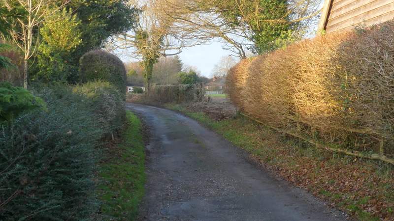
The lane through Maidensgrove
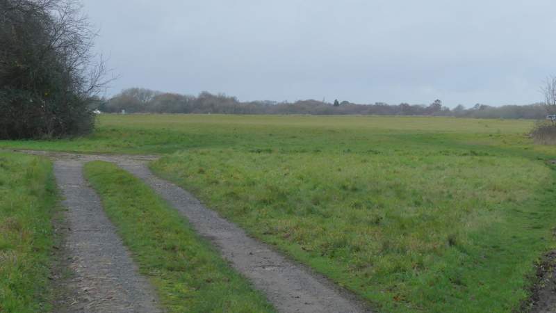
The track leading to Maidensgrove Common
I particularly enjoyed this walk for some reason, despite the showers in the afternoon - perhaps it was because there were a few paths I'd not walked in this direction before, so I had a few views I'd not seen before. There were more fine views too from the more familiar paths, and the section through the park land above Swyncombe House is always a pleasure to walk. It was a fairly flat route though, with a steep descent right at the start and a longish uphill at the end, with only a few small ups and downs in between.