Pete's Walks - Pitstone Hill, Ashridge, Dagnall (page 5 of 6)
If you are considering walking this route yourself, please see my disclaimer. You may also like to see these notes about the maps and GPX files.
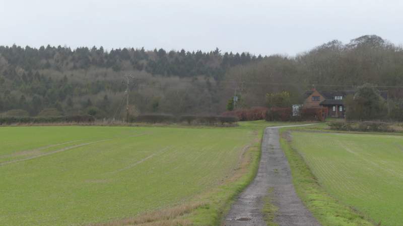
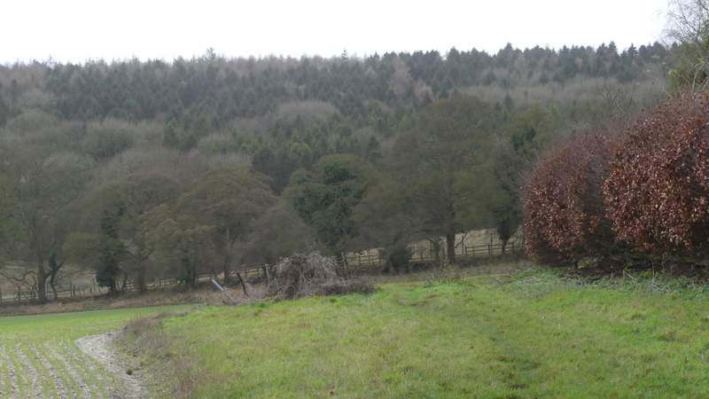
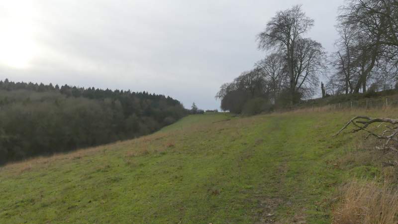
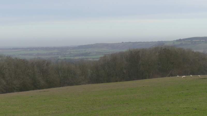
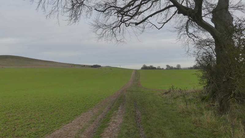
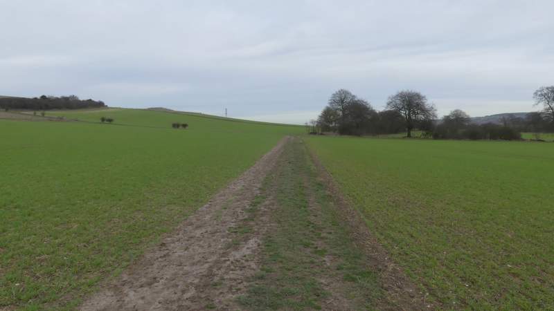
Lunch over, I went a little further along the road and then turned left along a bridleway (part of the Icknield Way) that ran along a grey surfaced track heading to a property named Hog Hall. This is always a bit of a trudge as the track rises slowly uphill over a few hundred yards, but at least there are pleasant views (especially looking back). When I eventually reached Hog Hall, the bridleway went round to the left, following a hedge on my right to a field corner. Through a gate, it continued gently uphill along the right edge of an empty sheep pasture, with beech trees along a small embankment on my right. Again I stopped more than once to admire the view behind me - this route is definitely better when walked in the opposite (clockwise) direction! Towards the top of the slope the bridleway continued across another empty sheep pasture to reach Ward's Hurst Farm.
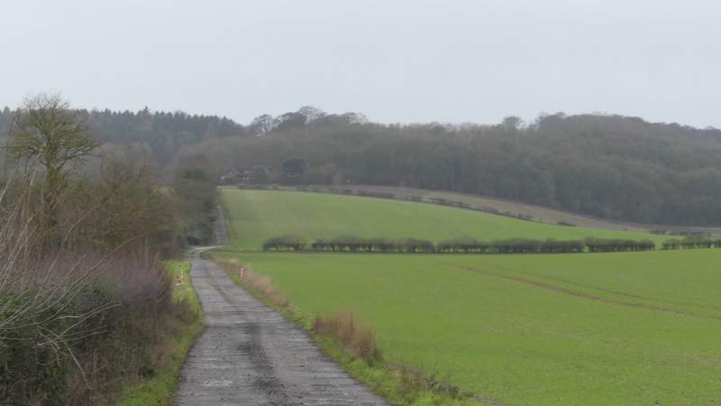
The drive to Hog Hall
The drive to Hog Hall
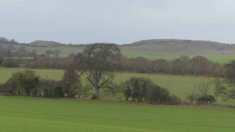
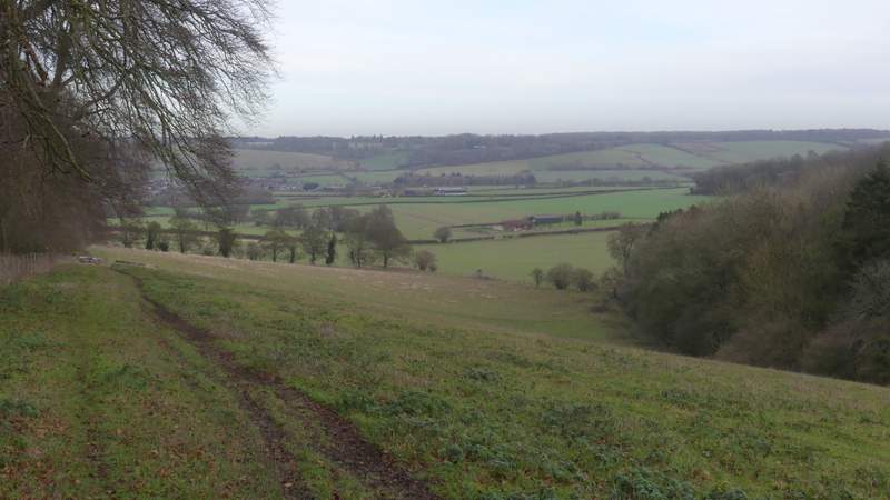
Looking right towards Ivinghoe Beacon
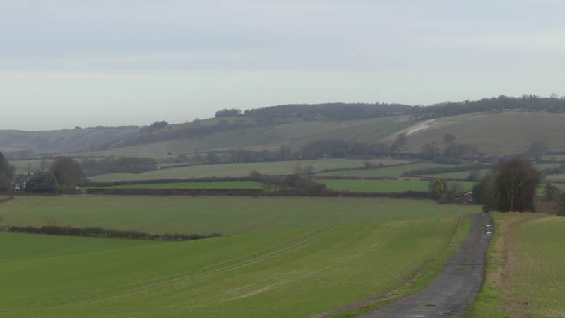
Looking back towards Dunstable Downs and Whipsnade Downs
The path continuing from Hog Hall to Ward's Hurst Farm
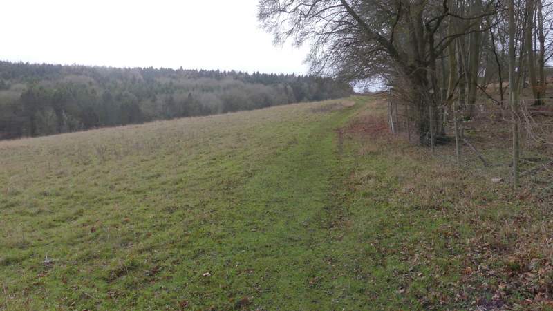
The path continuing from Hog Hall to Ward's Hurst Farm
The path continuing from Hog Hall to Ward's Hurst Farm
View back (most of the views were best looking back the way I'd come, this walk is definitely better in the other direction, clockwise)
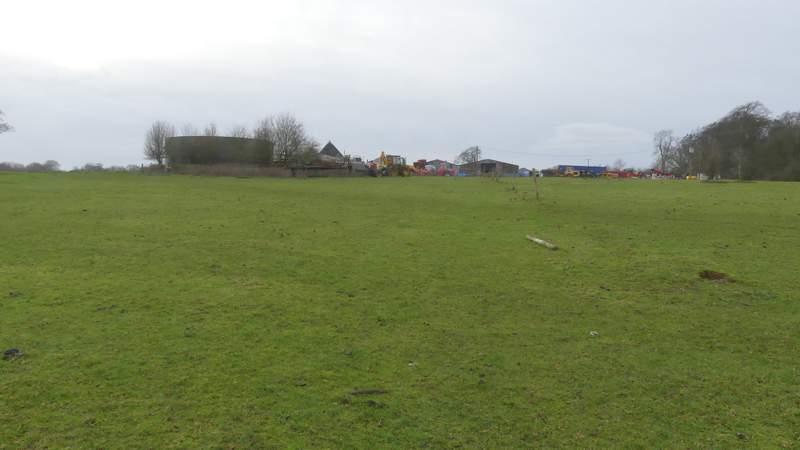
Approaching Ward's Hurst Farm
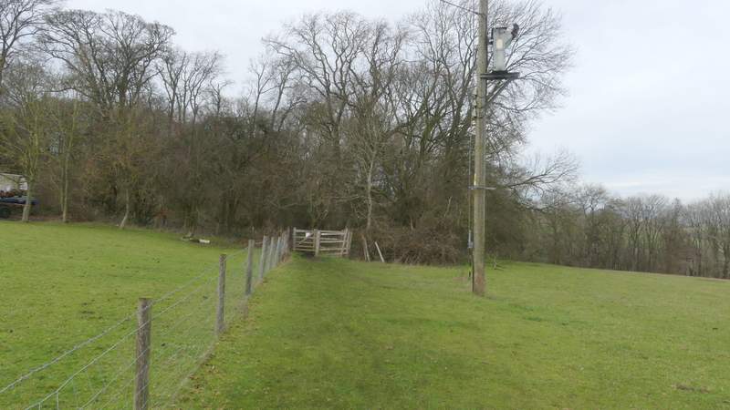
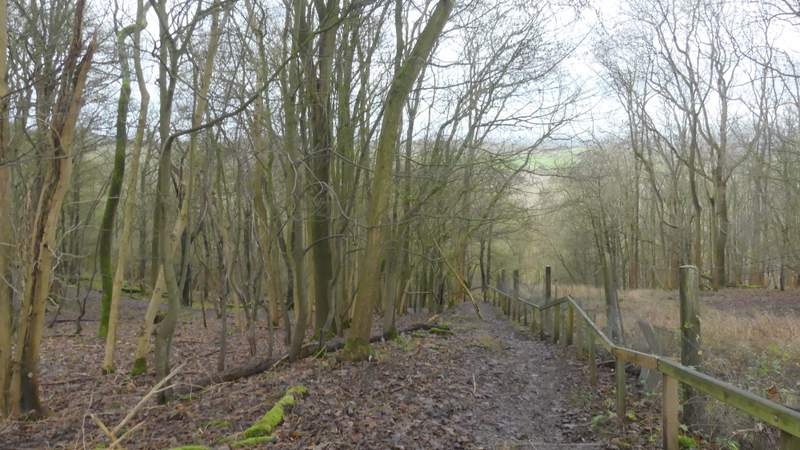
Staying on the Icknield Way,I turned right as soon as I reached the farmyard, following a fence on my left a short way to reach a wood. The path continued through the wood, soon descending a steep flight of steps with a wooden rail on the right (I was grateful for these in these muddy and slippery conditions). The path carried on at the foot of the slope, soon passing through an area of conifers where two or three times it switched from the gap between two rows of trees to the next gap on the left. The path then continued for a quarter of a mile or so through a deciduous section of the wood. On leaving the wood at a gate, I continued through an area of rough grass (below the car park for Ivinghoe Beacon) to a waymark post, where I turned right. I soon passed through an other gate, the path continuing ahead through a field, running almost parallel to the grassy ridge from Ivinghoe Beacon to Gallows Hill over on my left. On reaching a hedgerow I continued beside it (ignoring a path going left up the hillside along a fence).
The start of the path from Ward's Hurst Farm
View from near Ward's Hurst FArm
The steps down through the wood
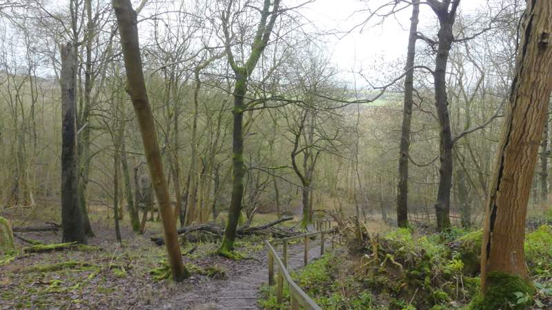
The steps down through the wood
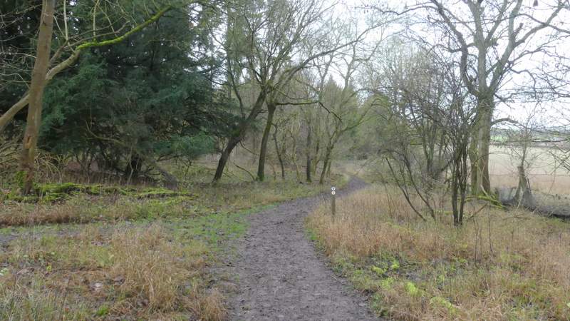
The path continuing through the wood
The path continuing through the wood
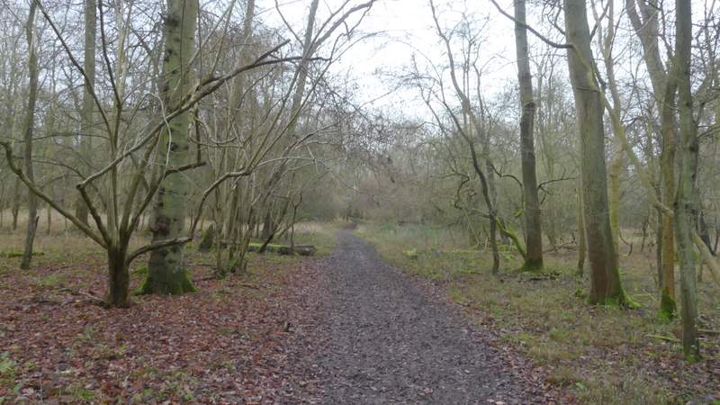
The path continuing through the wood
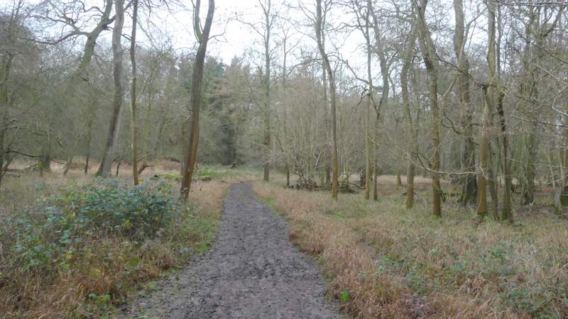
The path after I turned right, parallel to Gallows Hill
The path after I turned right, parallel to Gallows Hill
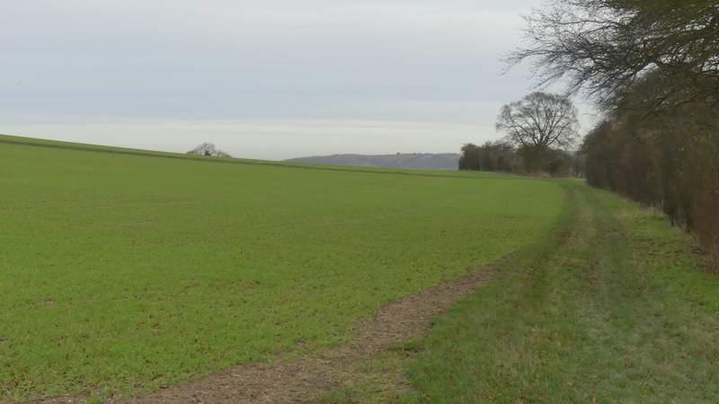
The path after I turned right, parallel to Gallows Hill