Pete's Walks - West Wycombe, Lacey Green, Bledlow Ridge (page 4 of 7)
If you are considering walking this route yourself, please see my disclaimer. You may also like to see these notes about the maps and GPX files.
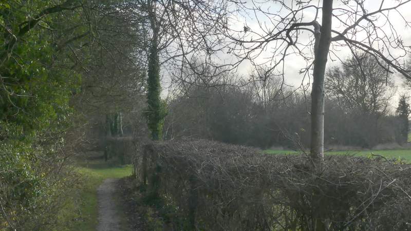
I went a few steps left along the lane and then took a path on the other side, which ran between garden hedges and soon came to another lane in the village, where I went right. Where this lane turned to the right, I took a footpath going left, that started along the drive of a house. It continued between fences and hedges, to emerge on the edge of a very large arable field. Here it went slightly left, aiming for a distant gateway just right of a garden, where I reached the A4010 (the road from Princes Risborough to West Wycombe). I crossed over and went a short way to the right, then took a bridleway on my left that followed a hedge, over which was a railway line. After several hundred yards another hedge 'forked right' from this hedgerow, and the bridleway followed this second hedge. At its end I met a crossing footpath where I turned left, this path soon meeting the other hedgerow again and turning right alongside it.
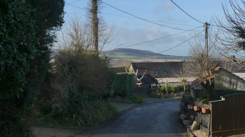
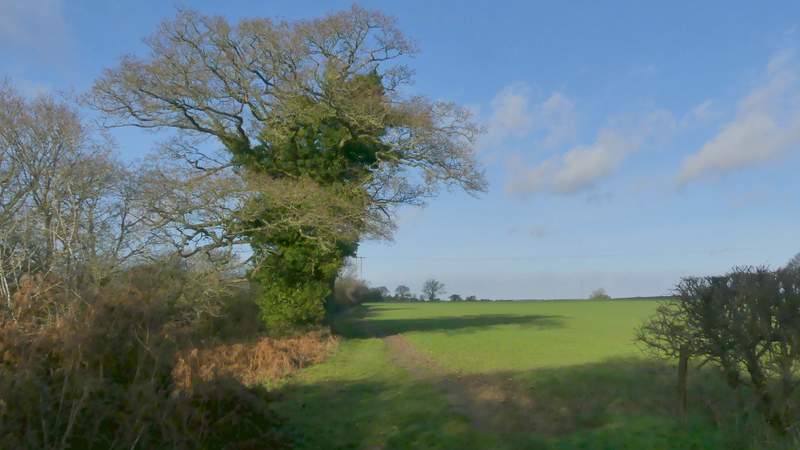
Loosley Row, just before I took a footpath on the left (starting along the drive of a house)
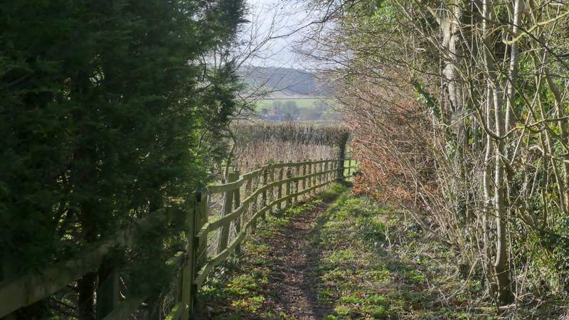
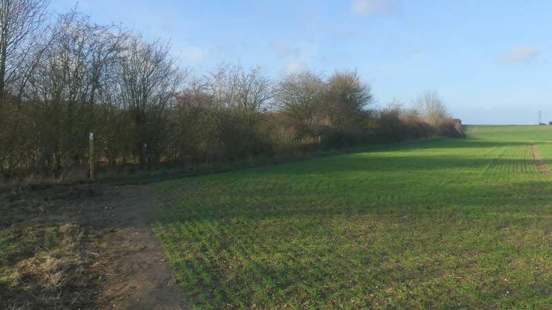
The path from Loosley Row
The path from Loosley Row
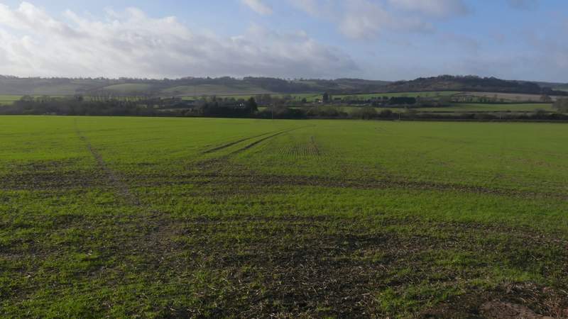
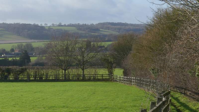
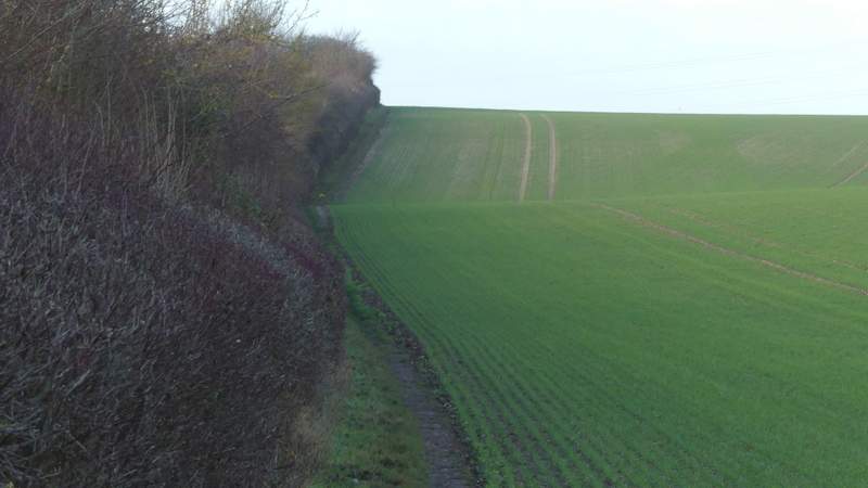
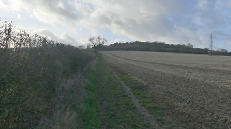
The path from Loosley Row (on the left), crossing the large field to reach the A4010
The bridleway on the other side of the A4010, running close to a railway line
The bridleway on the other side of the A4010, running close to a railway line
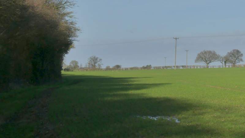
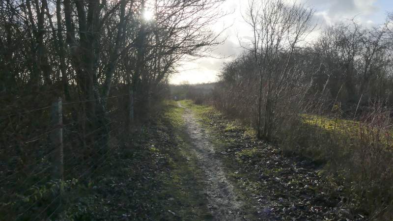
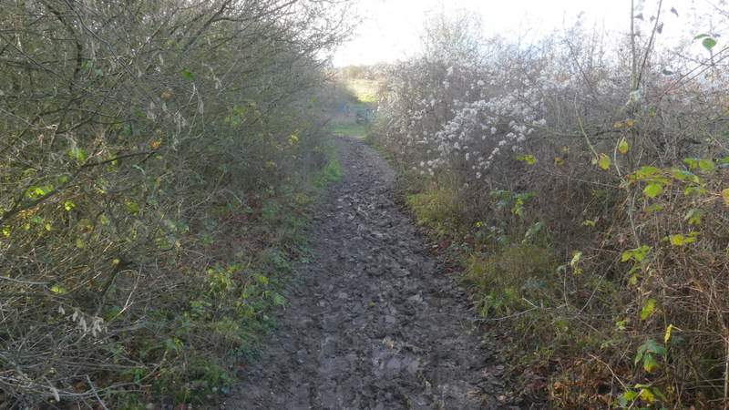
The path after I turned left from the bridleway - it turns right along the hedgerow, close to the railway line
Further along the path by the railway line
After several hundred yards I came to a path T-junction where I turned left (onto part of the Ridgeway national trail). This path went over the top of a railway tunnel (the bushes and trees have grown tall so I don't think I saw the railway), and then crossed an empty pasture with a few bushes or trees in it (the sun was straight ahead, I couldn't get a photo here). It then crossed a second railway line (why these two tracks are temporarily a couple of hundred yards apart I don't know) and continued between hedges with a golf course on either side. Beyond the golf course it continued with wooden fences and young trees either side to reach a large property (I used to have an 'Internet friend' who had lived here), where the path followed the drive to reach a minor road. Across the road, a bridleway continued alongside a hedge on the left. After several hundred yards there was a very muddy section as the bridleway passed through a small area of bushes at the foot of Lodge Hill. The bridleway then turned left, but I stayed on the Ridgeway as it it took a path going straight on. It was a steepish but short climb up this eastern end of Lodge Hill, well worth it for the view back across the Saunderton Valley. The path levelled out and ran between bushes, where I stopped on a seat to eat my packed lunch (it was now about 1.30pm) - this is one of my favourite lunch spots, but sadly the brambles have grown so I really needed to stand up to enjoy the far reaching views from here.
The path after I turned left, crossing a railway tunnel
The path continuing through a golf course
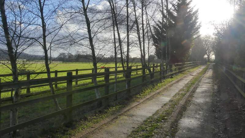
The path continuing along a drive to reach a minor road
The path continuing across the road, heading towards Lodge Hill
The muddy section at the bottom of Lodge Wood
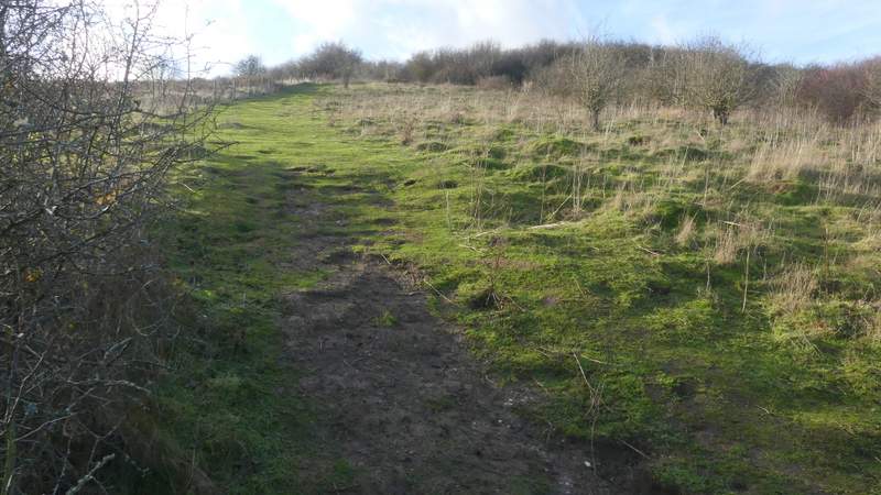
The path up Lodge Hill
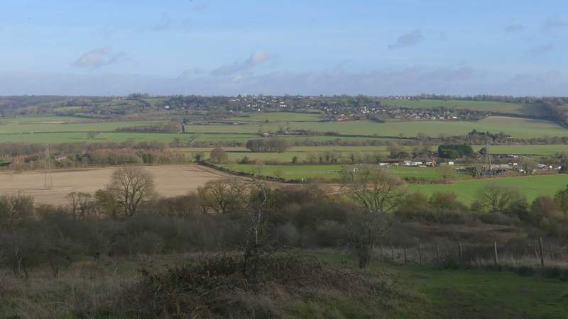
View back from the top of the path up Lodge Hill
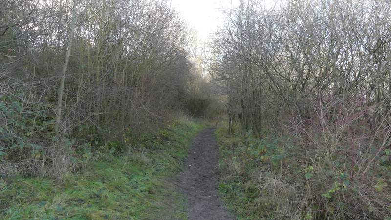
The path over Lodge Hill