Pete's Walks - West Wycombe, Lacey Green, Bledlow Ridge (page 3 of 7)
If you are considering walking this route yourself, please see my disclaimer. You may also like to see these notes about the maps and GPX files.
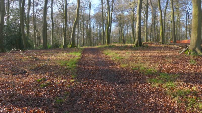
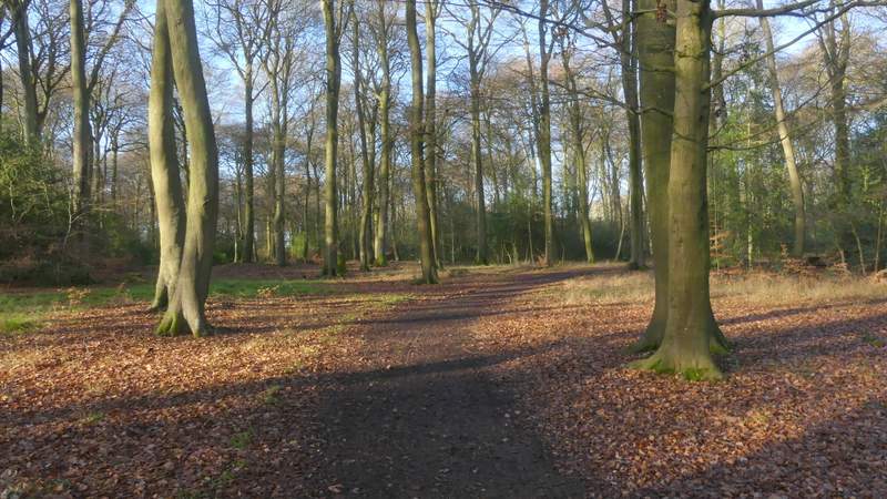
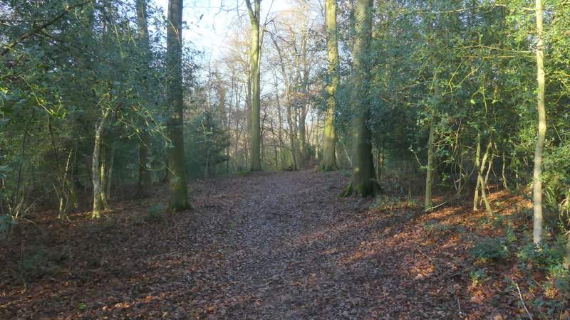
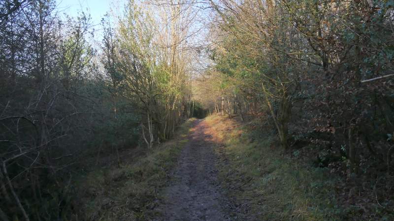
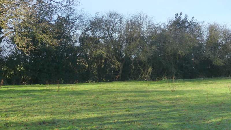
Once I had taken the correct path, I only had to follow it a short distance before a white arrow on a tree indicated where the public footpath went right (a clearer path went straight on - there are numerous paths in this large Open Access area that are not public footpaths and not all of them are shown on the map, so today was by no means the first time I'd had navigational difficulties on Naphill Common, Bradenham Beeches or Park Wood). I had to look out for white arrows and waymark signs as this next part of the path was a little indistinct, but then the public footpath joined a clear path or track (going more or less straight on). I only followed this a short way however, before another white arrow on a tree indicated where the path went left. I continued through Park Wood for almost another half mile, the now fairly clear path soon starting to gradually descend end eventually ending at a small car park on Smalldean Lane, where I turned right.
The path after I forked left - there is a white arrow on the tree on the right that is next to the path, indicating where the public foot path forks right
The short section along a track (another white arrow on a tree indicates where the public footpath turns left from it)
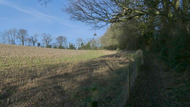
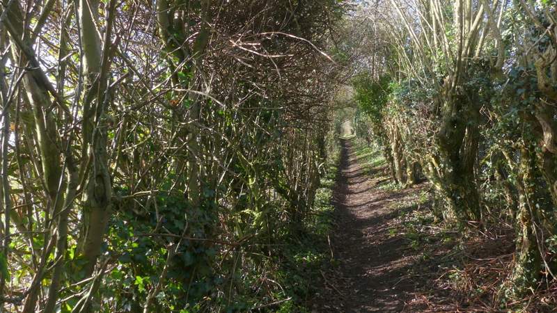
The footpath continuing towards Smalldean Lane
The footpath continuing towards Smalldean Lane
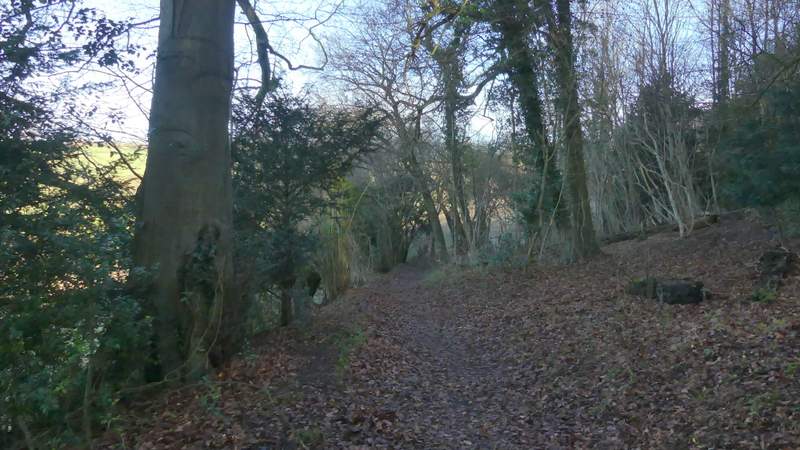
The footpath continuing towards Smalldean Lane
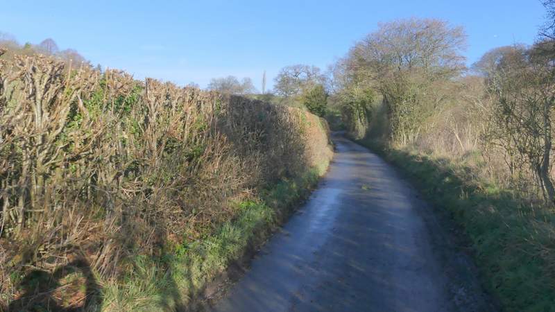
Smalldean Lane
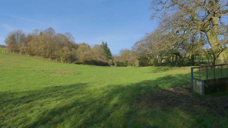
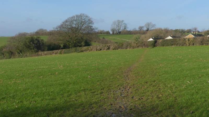
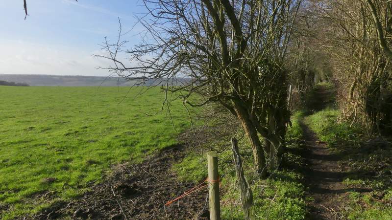
After about three hundred yards or so, I took a footpath on the left starting beside a field gate. The path ran along the right edge of an empty pasture to a stile in the corner, continuing past a small wood on my left and then running for a few hundred yards between the fence of a stubble field on my left and a hedge full of mature trees on my right. Through a couple of gates, the path then turned slightly right, now with trees on the left and a fence on the right. This brought me to a lane in part of Lacey Green, where I turned left.
The start of the path from Smalldean Lane to Lacey Green
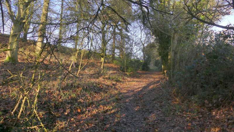
The path from Smalldean Lane to Lacey Green
The path from Smalldean Lane to Lacey Green
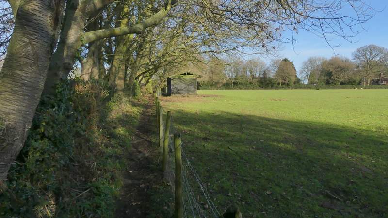
The path from Smalldean Lane to Lacey Green
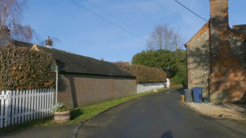
The lane through Lacey Green
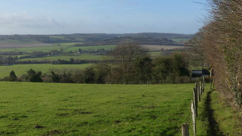
I ignored a bridleway that went left as the lane turned right, but then soon took a footpath on the left that went across a small pasture to the hedge on the right, then went slightly to the left across the corner of a similar field. The path then went slightly right across a corner of a much larger arable field - there was a most unusual view here, of the top of Lodge Hill poking over a green ridge with Bledlow Ridge and Wain Hill behind it. The path then crossed another small field to its far left corner, where it went down an alley next to a bungalow. On reaching the end of a street, I turned left onto another path that dropped downhill and crossed a surfaced track or dive, continuing between hedges and fences as it rose over the green ridge I'd just seen, dropping down the other side to reach a lane in Loosley Row.
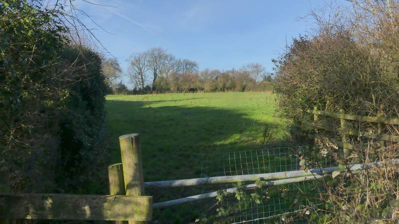
The start of the path where I turned left in Lacey Green (it goes across to the hedge on the right)
The path continuing across a corner of the next field
The path continuing across a corner of the next field (a larger arable one)
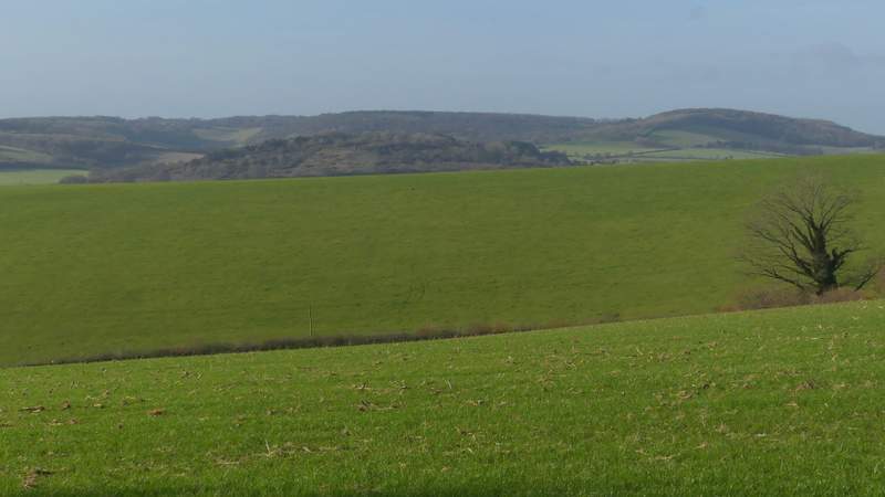
I think this view, taken from the same spot as the previous photo, must be unique in the Chilterns. It shows the top of Lodge Hill just appearing above a green hillside (there is actually a mile-wide valley between them), overtopped by Bledlow Ridge (running to Wain Hill on the right)
The path continuing through the next field to reach another part of Lacey Green
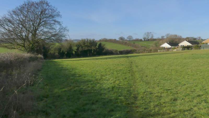
The path after I turned left and had crossed a drive
Further along the same path
Approaching Loosley Row