Pete's Walks - West Wycombe, Lacey Green, Bledlow Ridge (page 2 of 7)
If you are considering walking this route yourself, please see my disclaimer. You may also like to see these notes about the maps and GPX files.
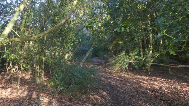
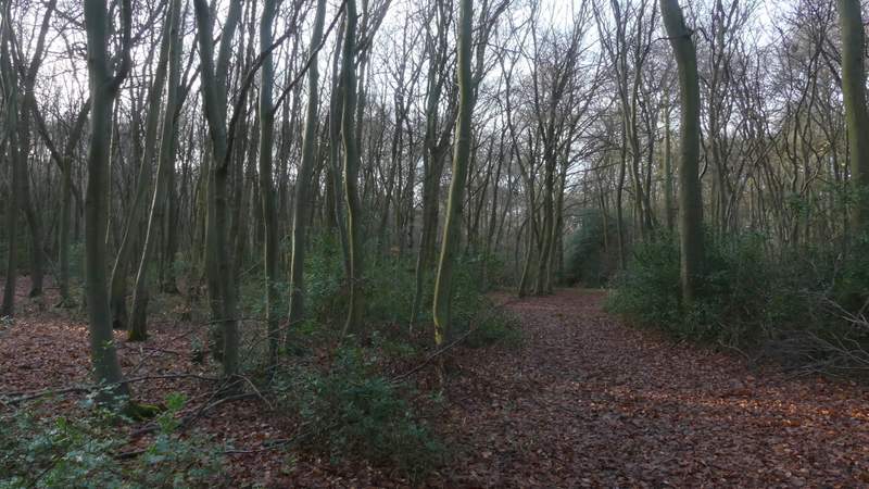
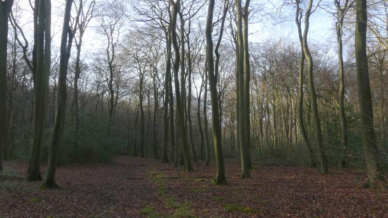
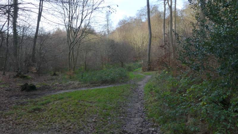
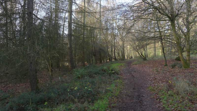
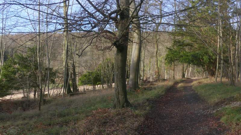
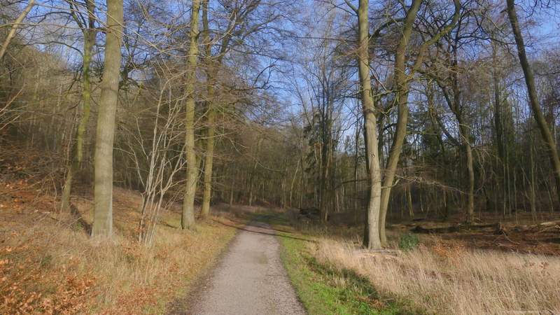
The path ended at a T-junction, where I turned left, soon coming to another path T-junction where I turned right along a path that initially had a lot of Holly bushes beside it. I went straight on where a bridleway crossed the path, now in a section of Naphill Common that was mainly Beech trees. On reaching a second crossing bridleway, I went straight across the junction, the path (no longer a public footpath, but this is an Open Access area) now bearing slightly right along a grassy break through the trees where a line of telephone poles ran. After a few hundred yards I came to a path junction, where I went a few steps left then turned right (so I was initially walking almost parallel to the path I'd been on). This path (a public footpath) then curved slightly left through more of the woods of Naphill Common. On reaching another path junction (close to some houses, ahead and to the right), I turned left. This path turned left and then right, running gently downhill through The Coppice to reach a minor road.
The path after I had turned left and then turned right on Naphill Common
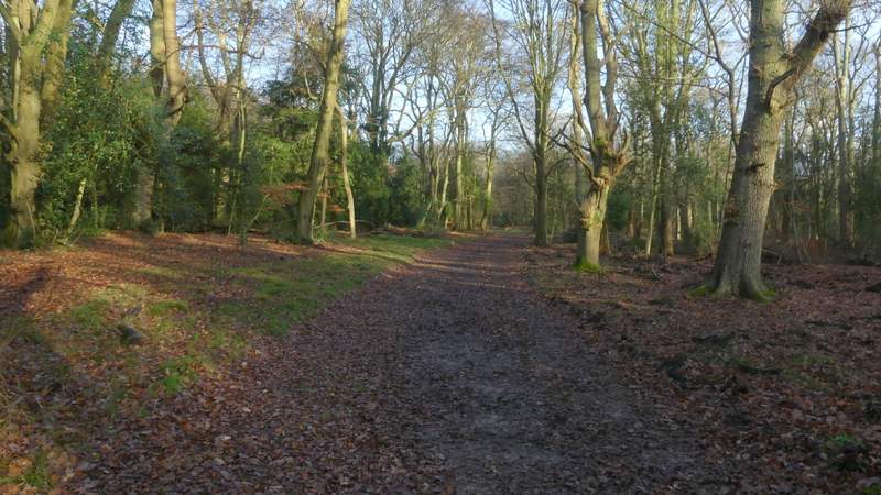
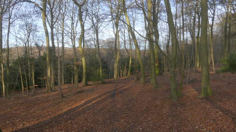
The path continuing between two bridleway crossings
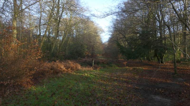
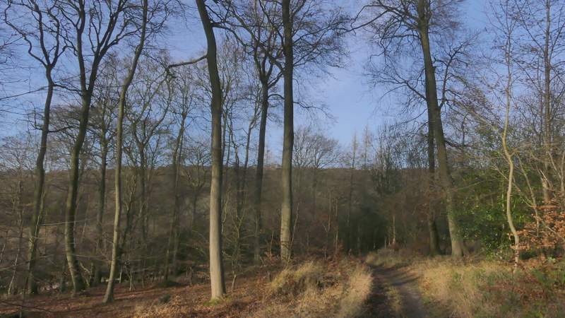
The path continuing along a line of telephone poles
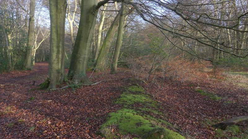
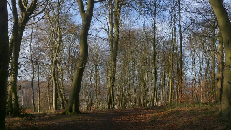
This is where I went a few steps left and then turned right onto a parallel path
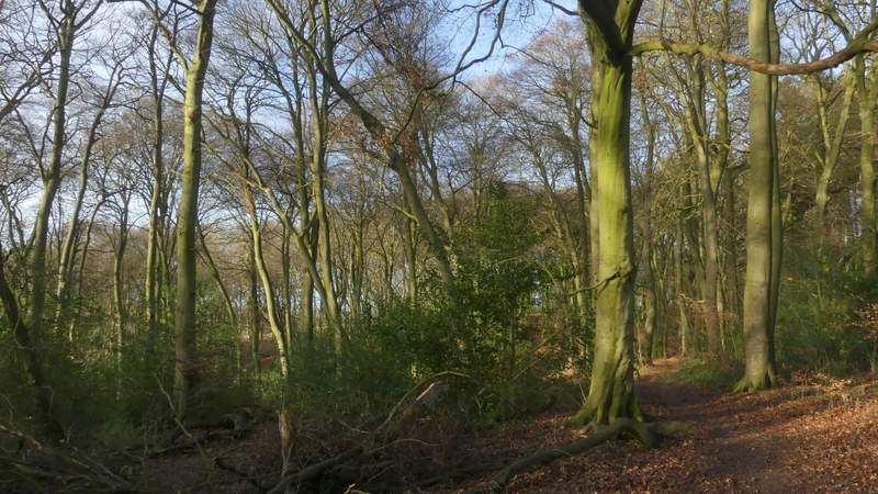
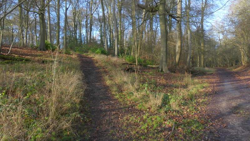
Path on Naphill Common
The path after I turned left, through The Coppice
Approaching the road crossing
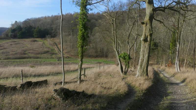
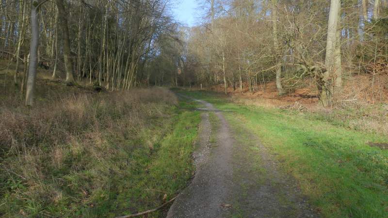
Across the road a path continued through more woodland (note: this is not a public footpath, but is shown as a black dotted line on the OS maps, at least on the 1:25,000 Explorer maps, and this is still an Open Access area), fairly soon with a housing estate surrounded by a tall fence over to my right. After a few hundred yards the path turned right by a corner of this fence, and almost immediately after this I took a path forking slightly left (actually I missed this turning and carried on some way before realising my mistake!). This path led very gradually downhill through the wood (I was now in Bradenham Beeches). After a few hundred yards the path met a track, where I turned left. The track dropped more steeply downhill into a valley, with a cleared area to my left (it's still shown as part of the wood on the OS map, which confused me the first time I came this way). In the valley bottom I turned right along a track (I think this is roughly the boundary between Park Wood, on the left, and Bradenham Beeches). I kept left at a fork in the track, and then immediately AFTER a broad path came in from the right I took a public footpath forking left (indicated by a white arrow on a tree) - actually I made another mistake here, by taking a path going left (rather than forking left) that started immediately BEFORE the broad path came in on the right).
The path continuing on the other side of the road
The path continuing on the other side of the road
The path continuing on the other side of the road, close to a housing estate on the right
The start of the path after I forked left (just after the previous path turned right)
Further along the same path
Further along the same path, after it merged with a track
Further along the same path
The path after I turned right at the path junction in the valleyBradenham Beeches
Further along the path -Park Wood on the left, Bradenham Beeches to the right
Where I forked left into Park Wood (there is a white arrow on a tree marking this junction, another path goes left just a few yards before this junction)