Pete's Walks - West Wycombe, Lacey Green, Bledlow Ridge (page 1 of 7)
If you are considering walking this route yourself, please see my disclaimer. You may also like to see these notes about the maps and GPX files.
PLEASE NOTE: The very large car park in West Wycombe used to be free. When I came here on 15th January 2022 I found it is now a pay and display car park, only free if you stay less than one hour and costing £4 if you stay more than 2 hours. I think you have to pay by credit card, I don't think the machine takes cash.
I did this circular walk of about 14.8 miles on Saturday, 22nd December 2018. It was a repeat of a walk I first did in November 2016.
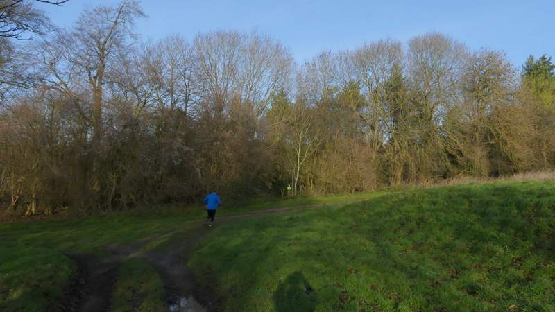
I started walking about 9.50am, from the car park in West Wycombe (grid reference SU 826947) - it's now named the Hell Fire Caves car park, but I think anyone can use it (there's no signs saying otherwise and it used to be the 'village' car park). I turned right from the entrance to the car park, then at the end of the road turned left and followed the A40 through the attractive village with its many old buildings. I carried on as far as a roundabout, where I turned left along the A4010. After about a quarter of a mile, I took a footpath going half-right across an arable field to reach a line of trees and bushes, where I went under a railway bridge and then headed slowly uphill along a headland between two fields. After passing a small area of trees the path continued beside a hedgerow on my left, and now the field on my right sloped down into a side valley. I went straight on where a track turned right, continuing through a small plantation of young trees to reach another track. Here a public footpath went right, along the track, but I kept straight on, heading across another field and aiming towards some buildings at the top of the hill.
When I did this walk two years ago, a Pheasant Shoot was in progress and I had to take a slight diversion from my planned route. I had originally intended to do this walk about a month ago, but then realised that would have been the same weekend as two years ago, so delayed doing it for a few weeks so as to avoid the shoot (assuming it's the same time every year). So I was very disappointed to again find people were meeting up at this building for a Pheasant Shoot, and again I ended up following the drive to Cookshall Farm all the way to its destination, rather than take a path after quarter of a mile or so forking right from the drive and then after about a hundred yards taking a path going left through a bit of woodland to reach the farm. At least I had the pleasure of seeing two Roe Deer running across a field as I was walking down the part of the drive that is a footpath.
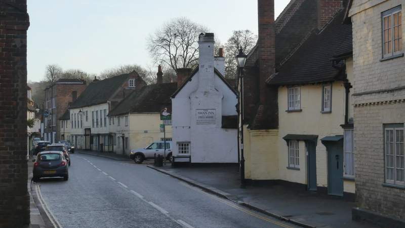
The road through West Wycombe (the A40)
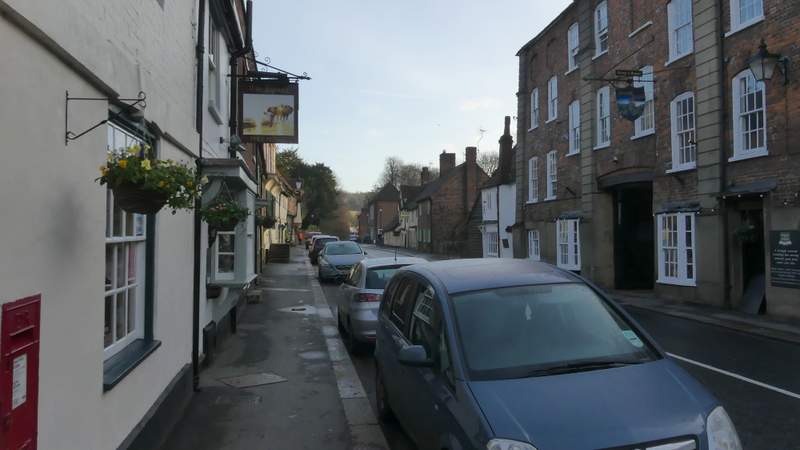
The road through West Wycombe
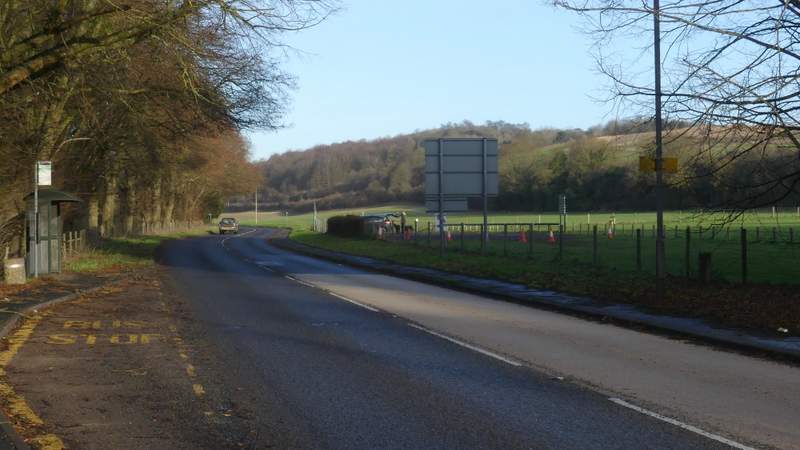
The road after I turned left at a roundabout
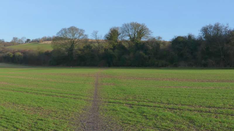
The start of the path after I turned right, to head towards Cookshall Farm
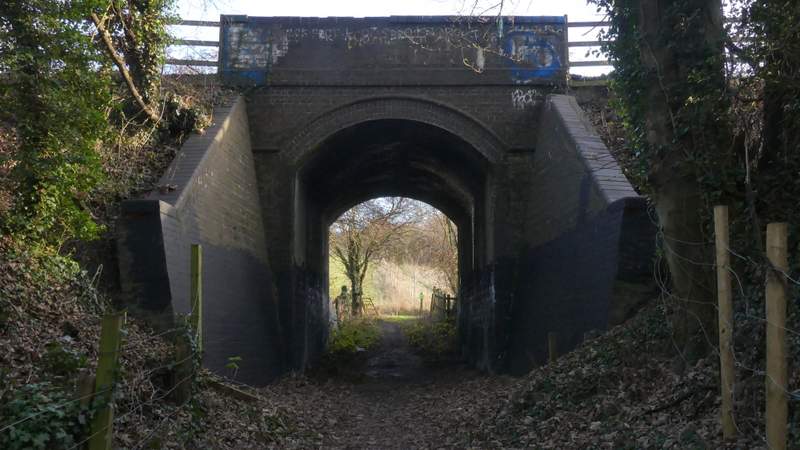
The railway bridge (you can see the path continuing the other side)
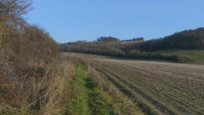
The path to Cookshall farm
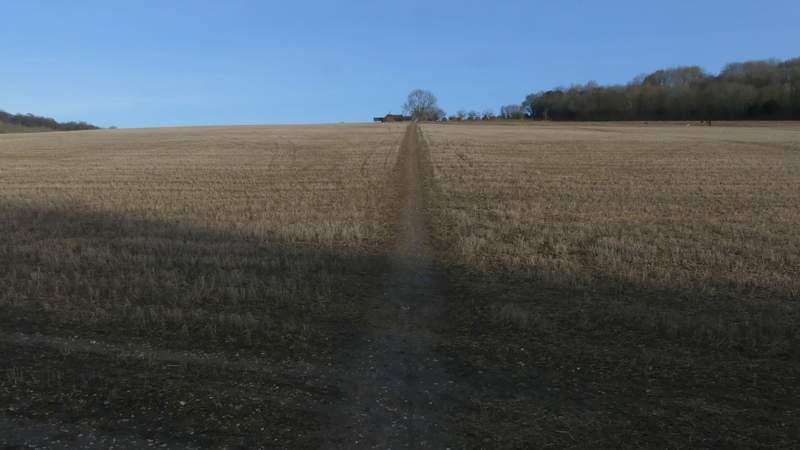
The path to Cookshall farm
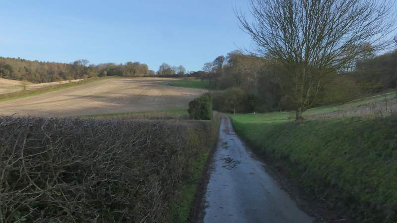
The drive to Cookshall Farm
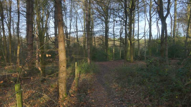
I turned left onto a public footpath immediately the drive reached Cookshall Farm (there were more people gathering for the Pheasant Shoot here) and soon entered Great Cookshall wood. After following the path through the wood for about half a mile, the path appeared to be about to join a grassy track, but instead turned right, with an area of cleared woodland now on my left.
Near the start of the path going left from Cookshall Farm
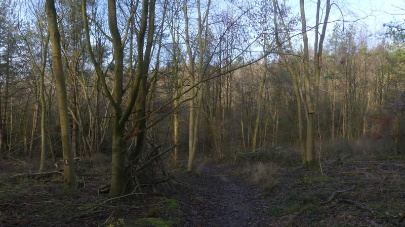
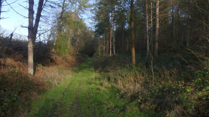
The path through Great Cookshill Wood
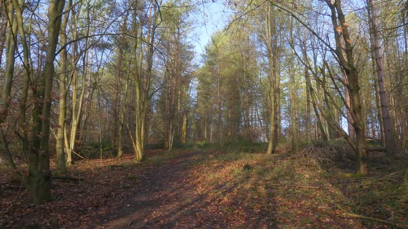
The path through Great Cookshill Wood
The path through Great Cookshill Wood
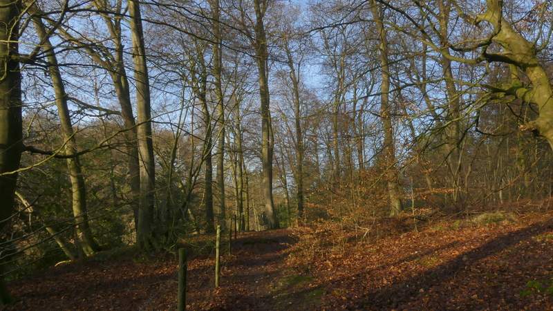
The path through Great Cookshill Wood
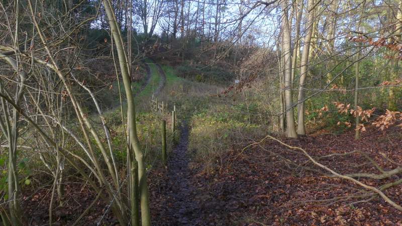
The path through Great Cookshill Wood, just before it turns right
The path through Great Cookshill Wood