Pete's Walks - West Wycombe, Lacey Green, Bledlow Ridge (page 6 of 7)
If you are considering walking this route yourself, please see my disclaimer. You may also like to see these notes about the maps and GPX files.
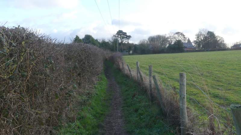
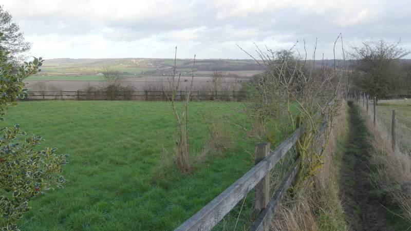
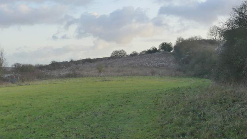
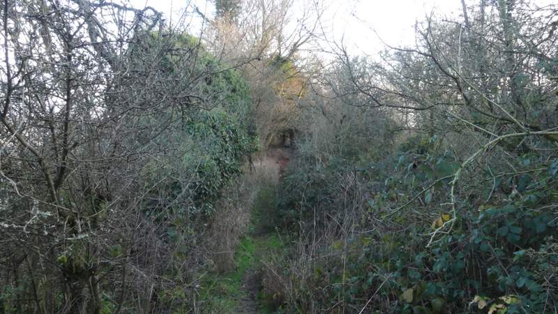
Where the lane started to turn slightly left, I turned right (at a Chiltern Way sign). This path ran between garden boundaries or hedges, then dropped and rose again through an empty pasture (partway across here there was a nice view left over the Saunderton Valley). It continued between fences and then crossed a track, carrying on between a garden fence on the left and a hedgerow. Further on there was a wire fence on my left and garden boundaries on the right, again with nice views left over the Saunderton Valley. I then had a hedge to my left and a wire fence on my right, the path then joining a drive that brought me to the road through Bledlow Ridge, where I turned left.
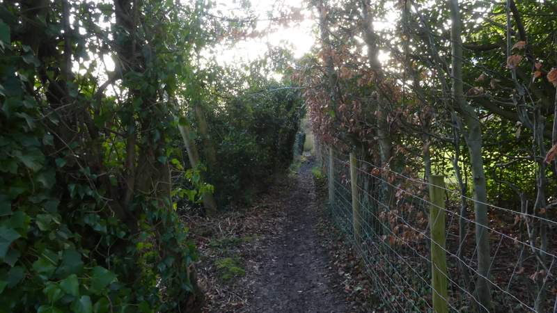
The start of the path after I turned right in Rout's Green
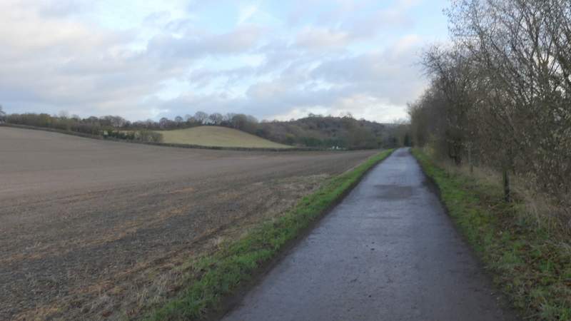
The path from Rout's Green to Bledlow Ridge
The path from Rout's Green to Bledlow Ridge
The path from Rout's Green to Bledlow Ridge
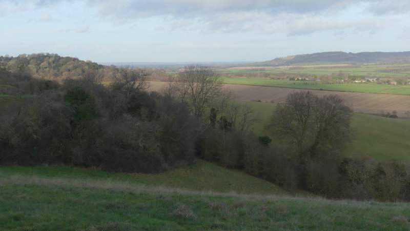
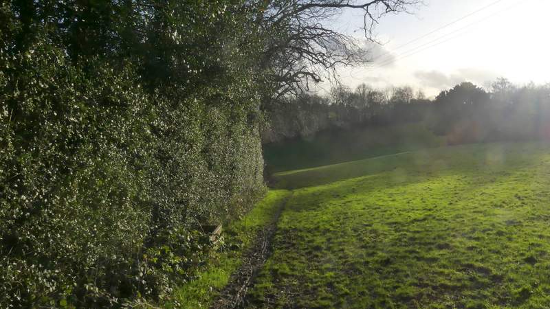
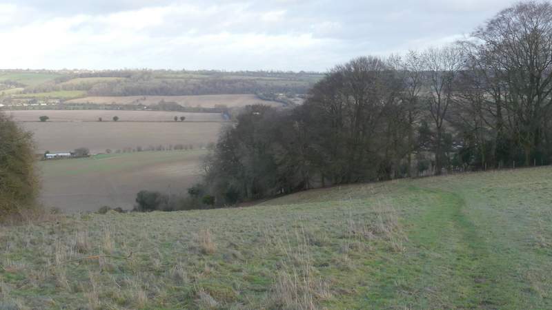
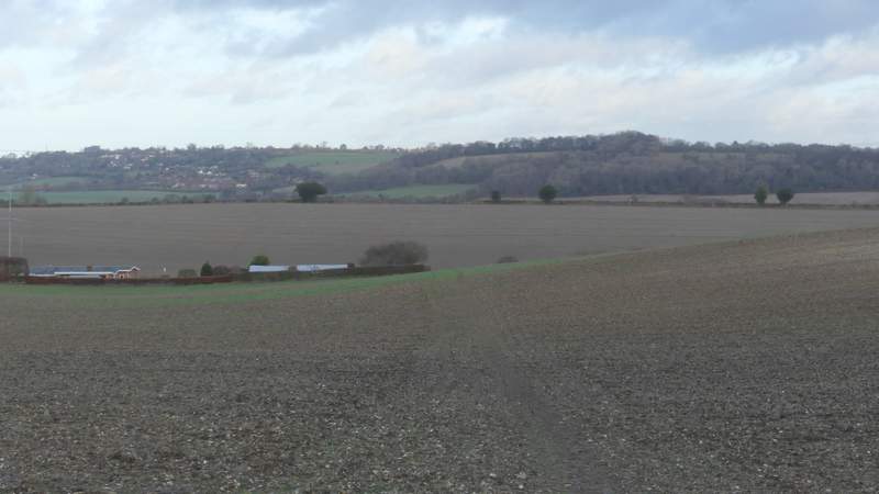
View back across the Saunderton Valley from the path from Rout's Green to Bledlow Ridge (Lodge Hill on the left, Whiteleaf Hill on the right)
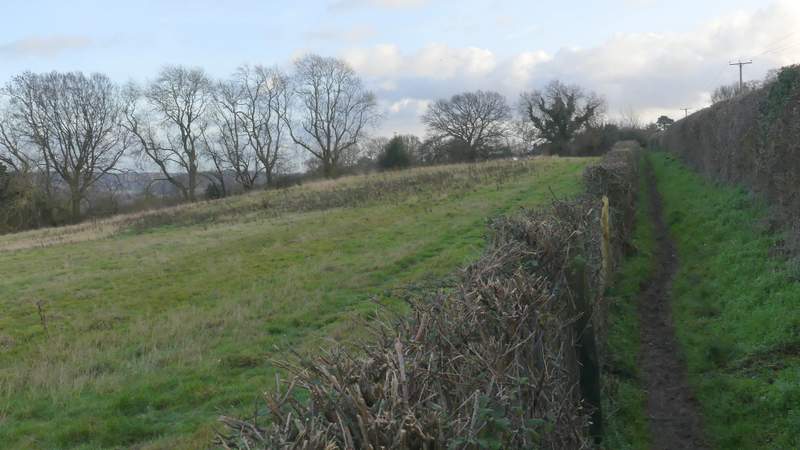
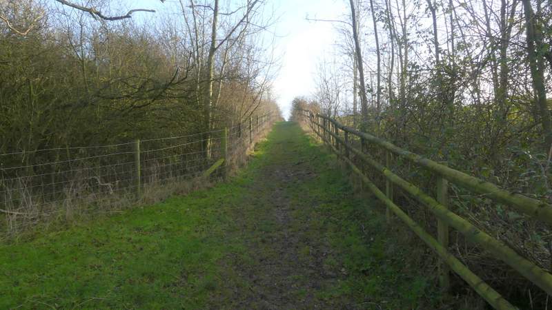
The path from Rout's Green to Bledlow Ridge
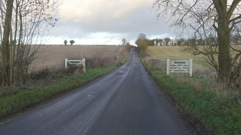
Approaching Bledlow Ridge
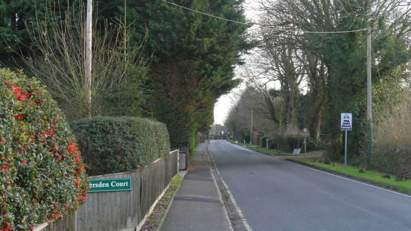
The road through Bledlow Ridge (I turned left just a short way along here, just after the first driveway on the right)
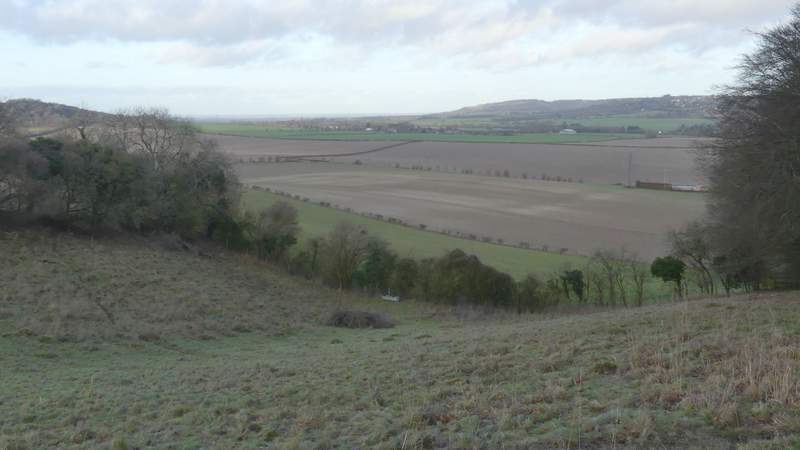
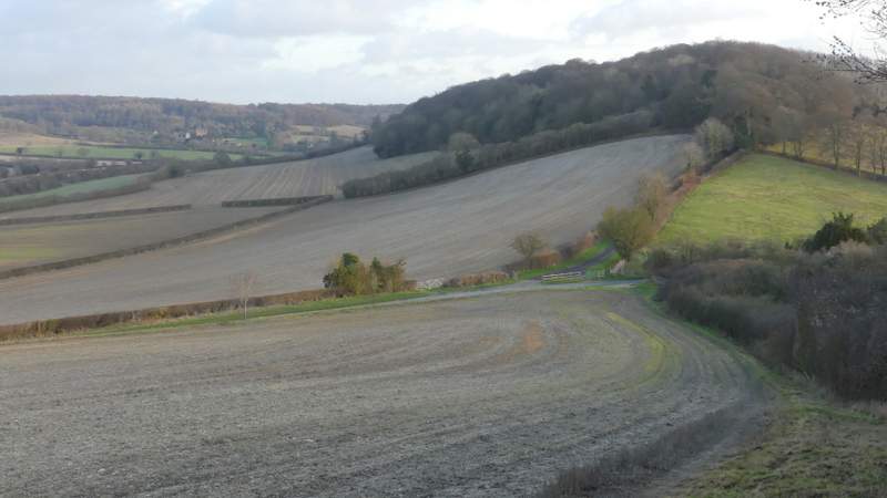
Almost opposite a property name Capel House, I took a footpath on the left (almost hidden in a hedge). This ran between garden boundaries and continued between wire fences to reach an empty pasture that sloped downhill. The path went half-right to the far side of this pasture, continuing downhill beside the trees on that side. The path continued downhill along the right edge of another pasture, before crossing a ploughed field at the bottom of the slope to reach a surfaced track or drive, where I turned right.
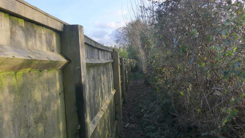
The path descending from Bledlow Ridge
The path descending from Bledlow Ridge
The path descending from Bledlow Ridge
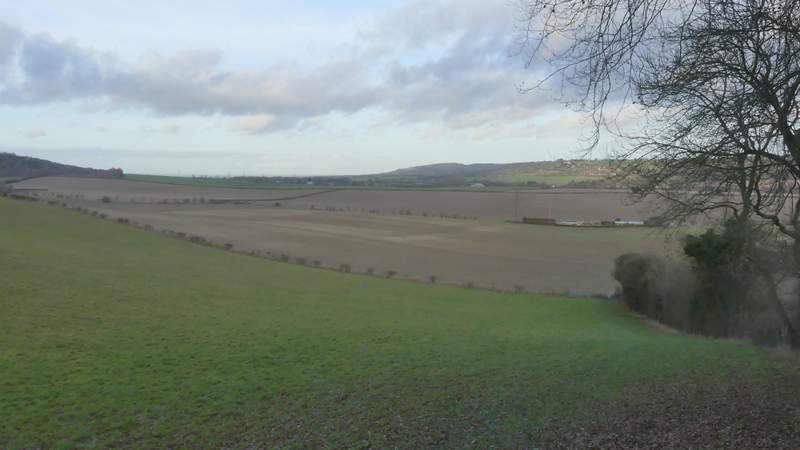
The path descending from Bledlow Ridge
The path descending from Bledlow Ridge
The drive after I turned right
I soon came to a road where I turned left. This soon brought me to the top of the very low ridge linking Lodge Hill to Slough Hill, where I turned right and followed a hedgerow on my right through two empty pasture and then an overgrown field, gradually rising up to the top of Slough Hill - I was trying to hurry along now, as I was getting worried about finishing the walk before darkness fell. The path continued straight on over the top of the hill (another path descended half-left) through bushes and past Yew trees, then followed the edge of a field downhill to Slough Lane.
NOTE: I've always assumed the Slough in Slough Hill and Slough Lane is pronounced the same way as the town (rhyming with 'cow'), but that may well be wrong - there are at least eight ways 'ough' can be pronounced (if you can only think of seven, you're possibly forgetting 'up' as in Hiccough). Slough meaning a wet or swampy ground (as in Bunyan's "slough of despond") can apparently be pronounced to rhyme with either 'cow' or 'flew'. If anyone does know the correct pronunciation of this Slough, please Email me and let me know. Thanks!
The road after I turned left
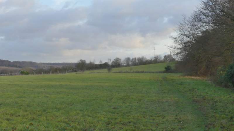
The path after I turned right, to head gently up Slough Hill
The path up Slough Hill
The path continuing across the top of Slough Hill
The path continuing down the other side of Slough Hill to Slough Lane, the drive to Nobles Farm and Allnutt's Wood ahead