Pete's Walks - West Wycombe, Lacey Green, Bledlow Ridge (page 7 of 7)
If you are considering walking this route yourself, please see my disclaimer. You may also like to see these notes about the maps and GPX files.
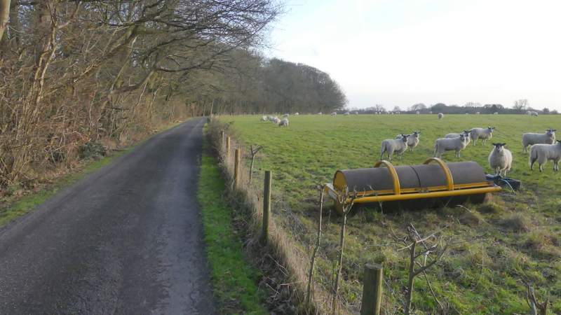
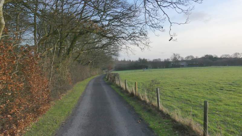
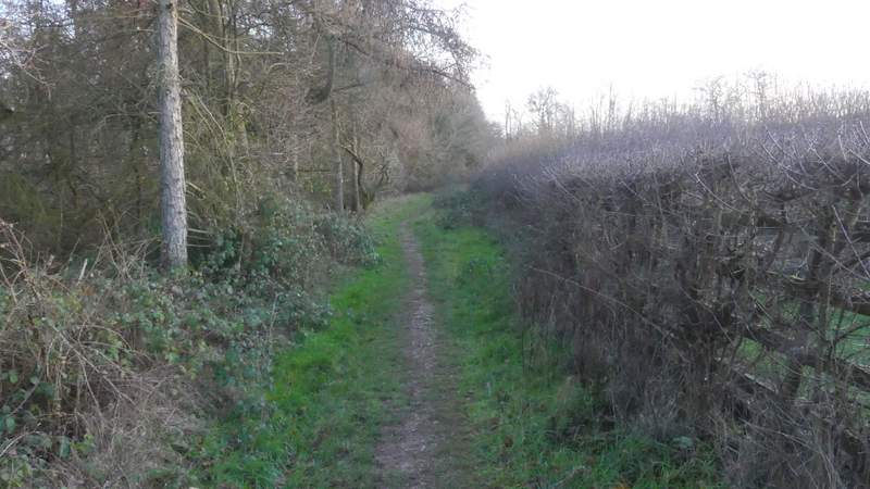
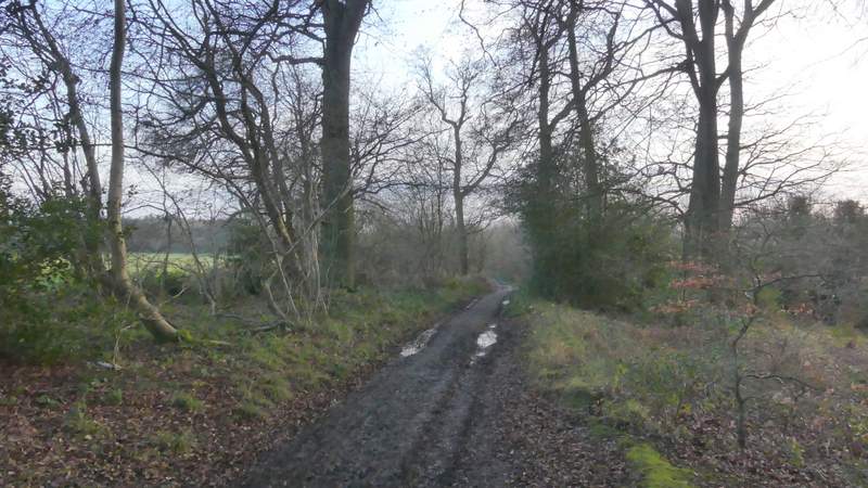
Across Slough Lane a footpath continued straight on, following the surfaced drive to Nobles Farm. This rose quite steeply before levelling out as it reached Allnutt's Wood. I hurried on, trying to take fewer photos than usual. It wasn't long before the path and drive left the wood, continuing with the wood on my left and sheep pastures on the right. When the wood ended the drive had seven-foot hedges either side, though the one on the left has a deliberate dip cut in it at one point so people can admire the view across the valley on that side (near Bradenham).
The drive to Nobles Farm
The drive to Nobles Farm, entering Allnutt's Wood
The drive to Nobles Farm
The drive to Nobles Farm
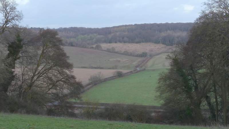
View left from just before Nobles Farm
When I reached Nobles Farm, I relaxed a little as I was now reasonably sure I'd finish the walk in daylight, but I nevertheless tried to keep up a good pace as I continued on along the mile long section through Hearnton Wood to West Wycombe Hill. I wondered why it was that this was at least the third, if not fourth, time that I'd been hurrying along here to finish a walk before darkness fell - this only happens to me maybe once each winter, if that, and I can't think of anywhere else that this has happened to me more than once!
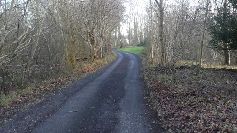
The path continuing from Nobles Farm
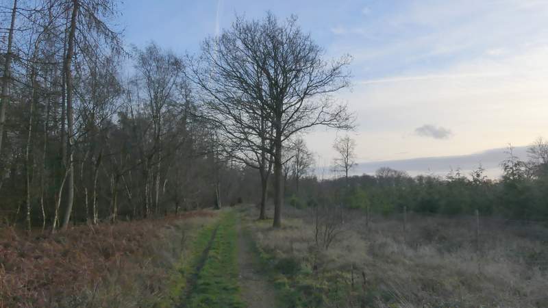
The path continuing through Hearnton Wood
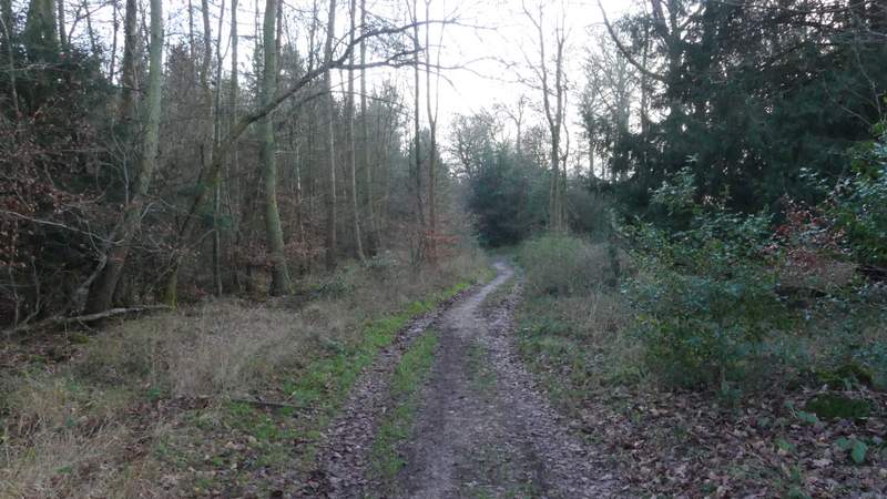
The path continuing through Hearnton Wood
The path continuing through Hearnton Wood

The path continuing through Hearnton Wood
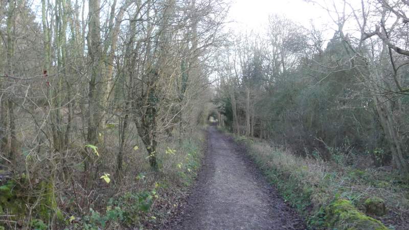
The path continuing through Hearnton Wood
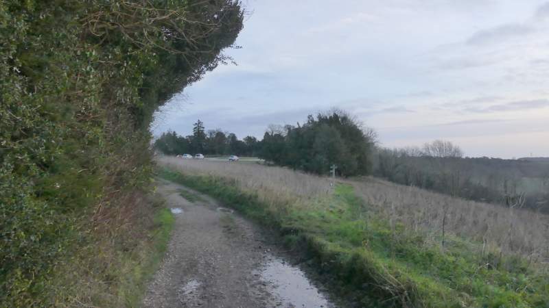
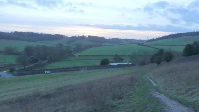
When I eventually emerged from Hearnton Wood and approached the car park on West Wycombe Hill, the light was definitely starting to fade (as you can see from the photos). I walked through the car park and then, by the gate into the churchyard, followed a track going round to the right of the churchyard. This brought me to the Dashwood family Mausoleum, where I started down a broad grass strip with the A40 heading into High Wycombe straight ahead of me. I soon came to a path junction, where I turned right. This path dropped down a flight of 'steps', and then continued less steeply down the hillside to bring me to a road, opposite the car park where I'd started.
Approaching the car park on West Wycombe Hill
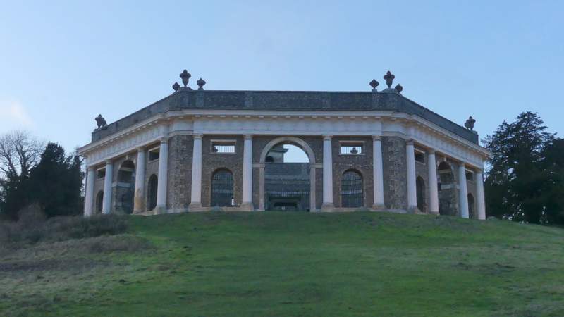
Looking back at the Dashwood family mausoleum on West Wycombe Hill
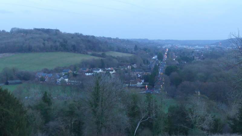
View along the A40 into High Wycombe from West Wycombe Hill
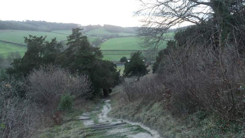
The path descending from West Wycombe Hill, after I turned right
The path descending from West Wycombe Hill
This was a fine walk, though I rather hesitate to recommend it as a route to other people because I've made more wrong turnings in the large Open Access area between Naphill Common and Park Wood than anywhere else! Admittedly the two mistakes I made today were just down to stupidity (or, more charitably, lack of attention), but there are a number of obvious paths in this area that are not shown on the OS maps (not even as black dotted lines, though the one I followed from the road by The Coppice is), so navigation can be more confusing than usual. The highlights of the walk for me were the unusual view of the top of Lodge Hill near Lacey Green (hills appearing over the top of a 'ridge' are something I see in the Lake District or Wales, nowhere else in the Chilterns!), and then the ever enjoyable section over Lodge Hill with its far-reaching views in almost every direction.