Pete's Walks - Southeast from Cadmore End (page 3 of 6)
If you are considering walking this route yourself, please see my disclaimer. You may also like to see these notes about the maps and GPX files.
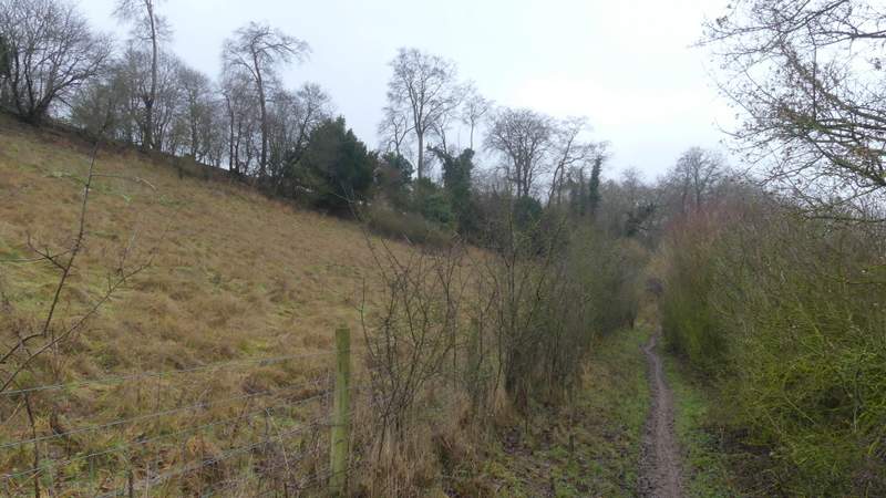
On reaching the next path junction I turned right, now with an edge of the wood just a few yards to my left. After about a quarter of a mile, having left part of the wood that was mainly Beech trees and entered a section that was mainly young trees, the path turned left, leaving the wood and crossing a large arable field to reach a road just southeast of Lane End. I carefully crossed over and turned left along a permissive path running parallel to the road (again I'm grateful to the landowners for providing this path, it avoids what would otherwise be a rather dangerous road walk). The permissive path was just inside a wood, where it ended I took a path going half-right across a field (there were ducks and chickens here) to reach Moor Wood. The path descended gently through the wood, to meet a bridleway following a track where I went left (actually more or less straight on). Soon there was a section where there was a grassy field sloping uphill just to my left, with Moor Wood on my right, but after a while there was woodland on both sides again.
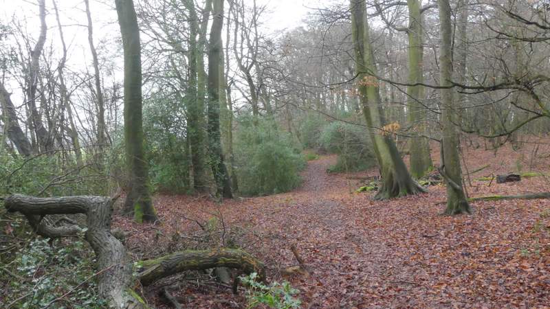
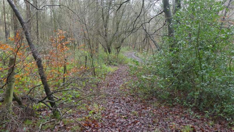
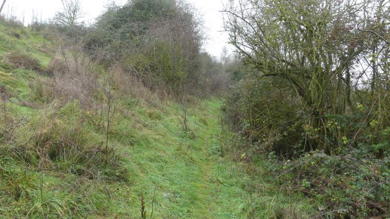
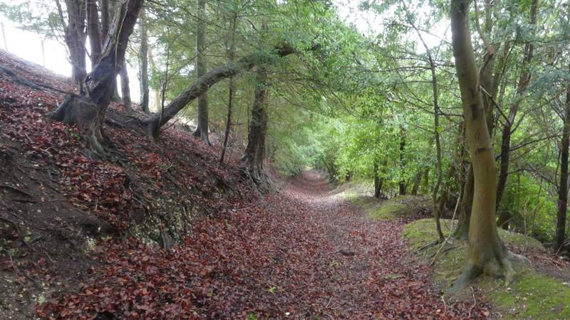
The next path in Widdington Park Wood, after I turned right again (with an edge of the wood on my left)
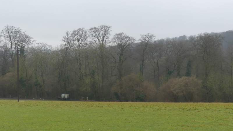
The path continuing from Widdington Park Wood, to the road southeast of Lane End
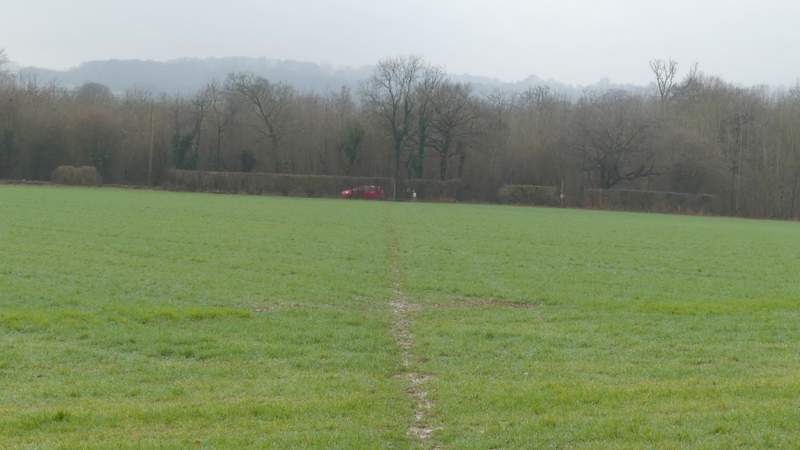
The permissive path beside the road
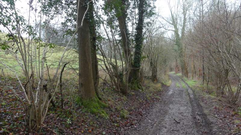
The path from the road to Moor Wood
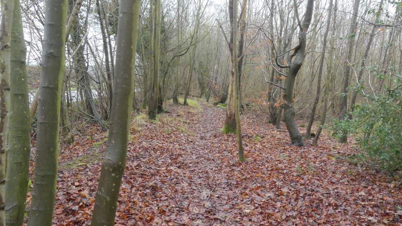
The path descending through Moor Wood, approaching the bridleway
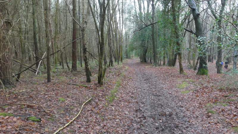
The bridleway through Moor Wood
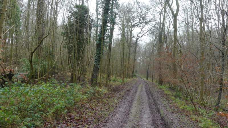
The bridleway through Moor Wood
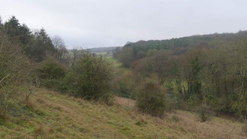
Just after the wood on my left ended, and where a track came in through Moor Wood on my right, I took a footpath that went half-left, rising across a very steep uncultivated hillside. The last time I'd tried to use this path, coming the other way, I'd found part of it (a third of a mile further on) completely overgrown and impassable, so it didn't seem to augur well that there was no sign of what used to be a fairly distinct path here. I had to just aim for a waymark post in the middle of the slope, and then for a second one at the top of a line of bushes rising up the slope. From the second waymark post, the path continued through bushes along the top of the slope. I went straight on at a junction where another path went left, still going through an area of bushes close to the top of the slope. The path then turned left, uphill, between a field and a bit of woodland on my right. After a few yards the path turned right between a fence and the wood on my right - I was relieved to see that this section of the path was completely clear, this was where it had been impassable two or three summers ago. At the end of the path I turned right along a bridleway (my contingency plan if the path had still been impassible was to go back to the previous junction and take the other path, turning right at its end along this same bridleway - including the path where I'd be retracing my steps this would have added a mile to the route, though it would have had the attraction that most of it would have been new to me).
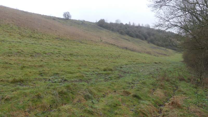
The path up the steep slope, after I took a path forking left from Moor Wood (the path isn't clear, but there is a waymark post in the centre of this photo, and another one near the top of the bushes)
The path along the top of the slope
The path along the top of the slope
The path going a short way uphill beside a wood on my right
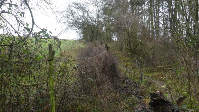
The path after it turns right along the top of the wood (this was completely overgrown and impassable 2-3 years ago)
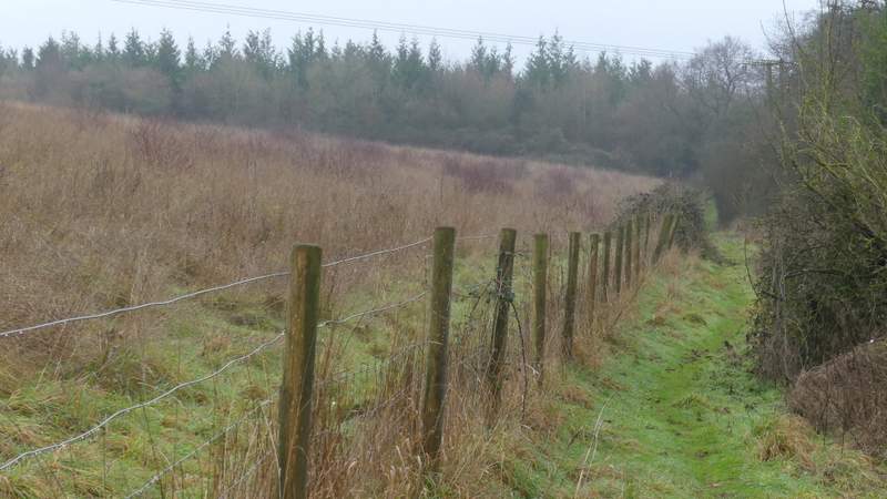
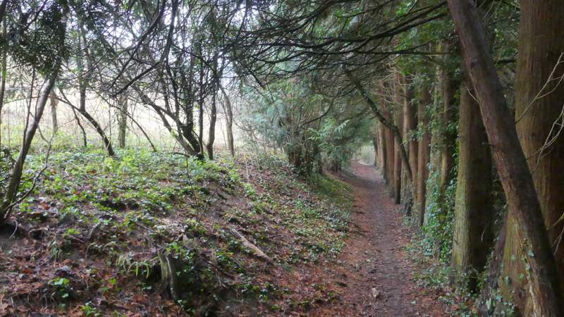
The bridleway descended through a 'green tunnel' with branches overhanging it from trees on both sides (a lot of the trees were Yews). At the foot of the slope the bridleway went slightly left, with a row of conifers on my right. At a junction where another bridleway went right to Bluey's Farm, I went straight on along a bridleway, with a parallel footpath over the tall hedge on my right. On entering Shillingridge Wood I was on a footpath, that ran through the wood for about half a mile, the last section with a field close by on my left.
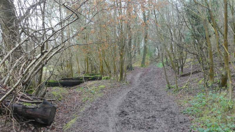
The bridleway descending towards near Bluey's Farm
The bridleway near Bluey's Farm
The bridleway continuing towards Shillingridge Wood
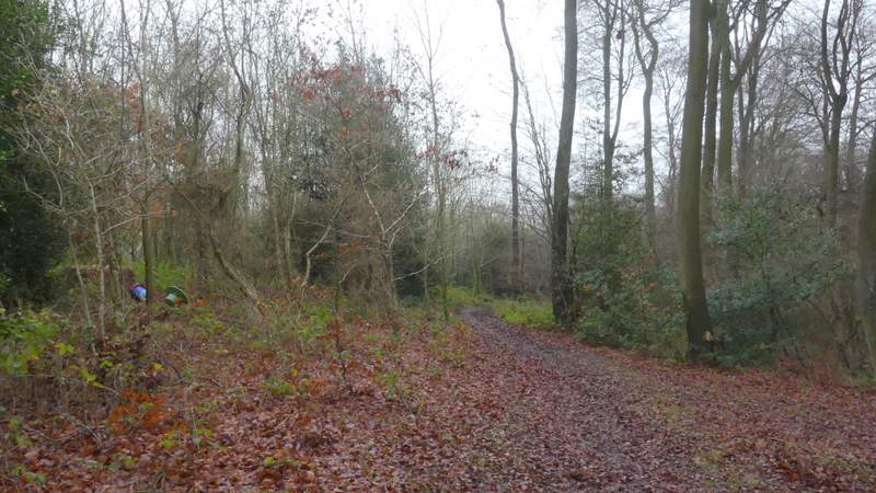
The path through Shillingridge Wood
The path through Shillingridge Wood
The path through Shillingridge Wood