Pete's Walks - Southeast from Cadmore End (page 4 of 6)
If you are considering walking this route yourself, please see my disclaimer. You may also like to see these notes about the maps and GPX files.
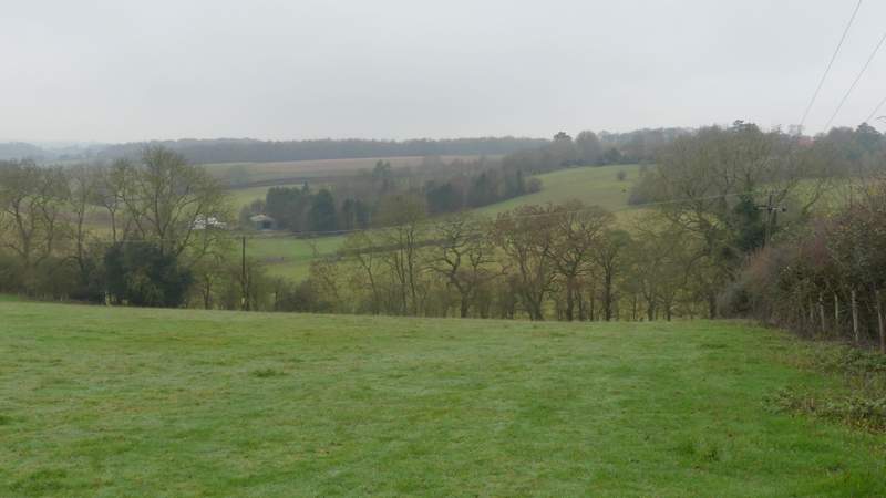
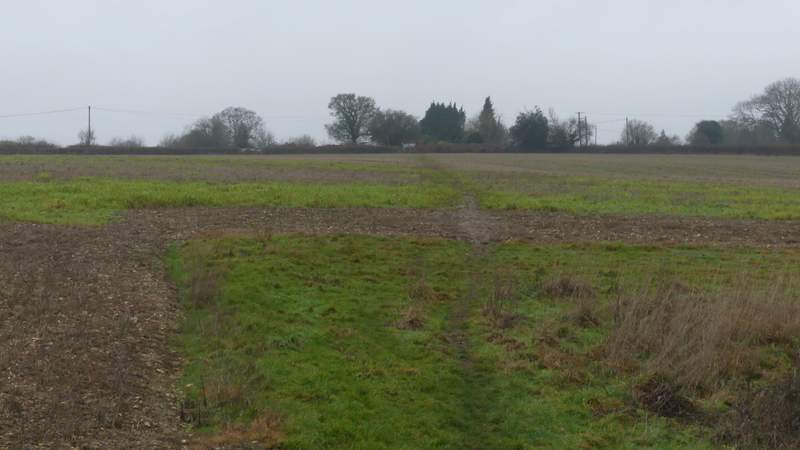
On the far side of the wood the path ended at a crossing bridleway where I went left, immediately leaving the wood. After just a few yards I turned right along a hedge-lined byway - as I walked along here, I was suddenly startled by an explosion of bird noise above me as four birds flew out of a tree I was passing. They were Ring-necked Parakeets, and I think this is only the second time I've ever seen them (they're very common in parts of London, but the only other time I remember seeing them was by the old Quaker meeting-house at Jordans). The byway soon become a surfaced lane, Mundaydean Lane. After a quarter of a mile or so I took a bridleway on the right. This followed a gravel drive past one or two properties then, past a couple of bollards, followed the concrete drive of Mundaydean Farm quite steeply uphill. At the top of the hill I turned left along Frieth Road.
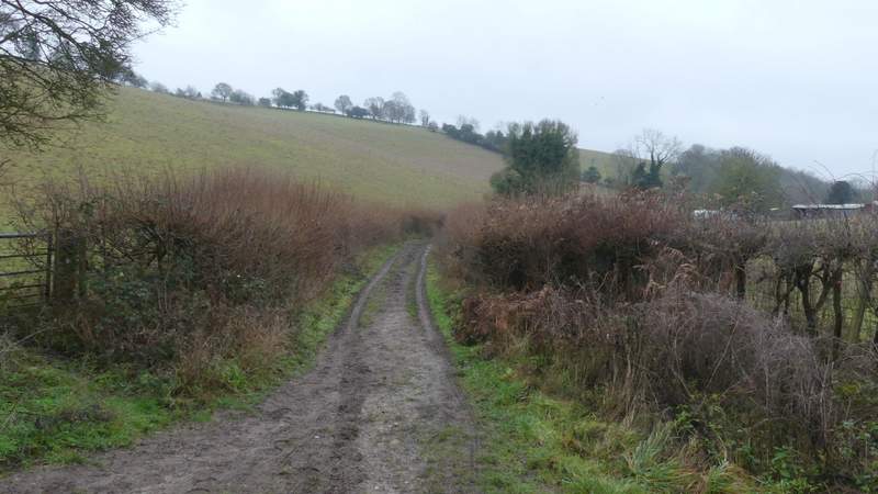
The byway that becomes Mundaydean Lane
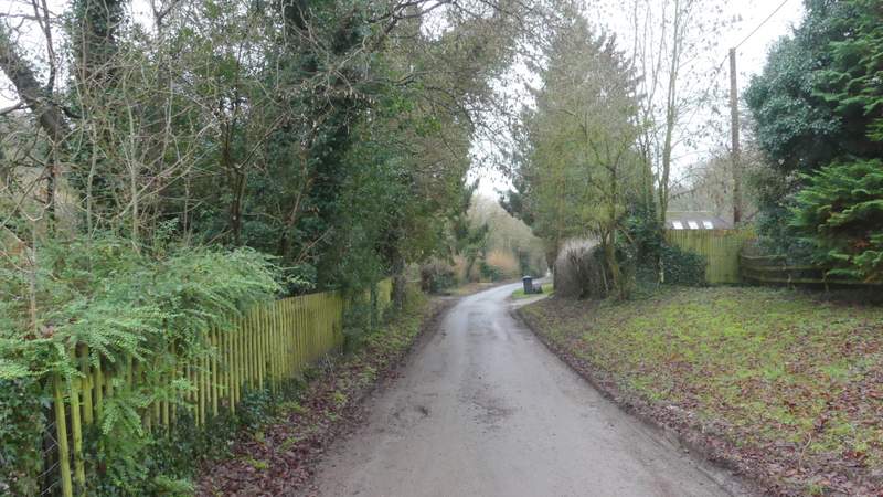
Mundaydean Lane
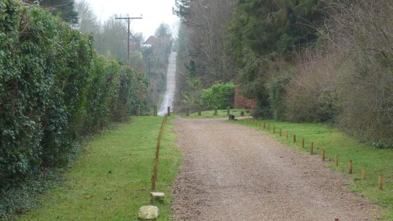
The bridleway that runs along the drive to Mundaydean Farm
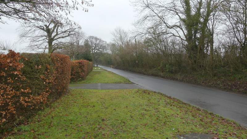
Frieth Road
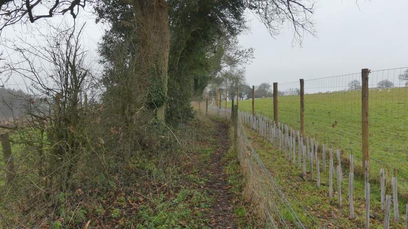
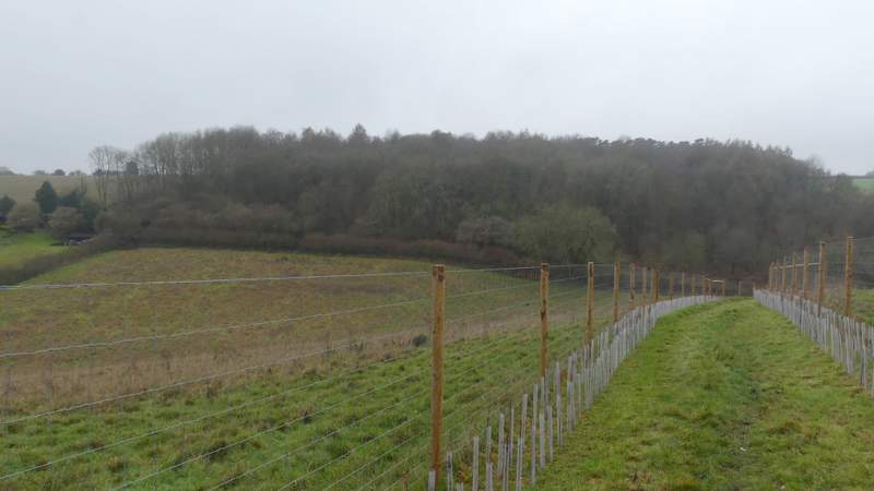
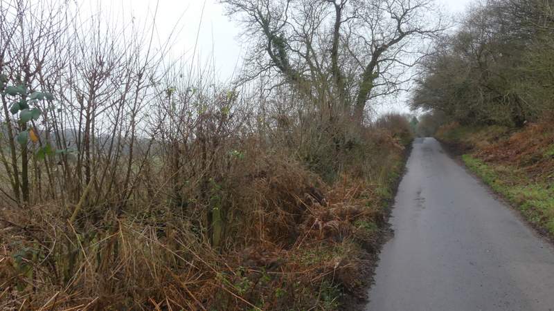
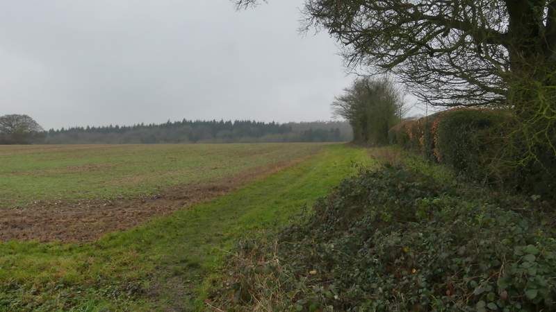
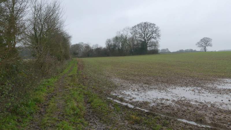
At first there houses on my left, but then there were houses on both sides. Immediately after the last house on the right, I took a footpath that dropped downhill through an empty pasture, following a hedge on my right - there was a nice view along a valley ahead of me here. In the bottom corner of this field the path went right, running between a hedgerow on my left and twin fences to my right (a new hedge had been planted between them). After about a quarter of a mile this brought me to a stile, over which the path ran downhill - this used to be one large field with horses in it, but now there were tall fences (and more newly planted hedges) either side of the path, so the field was divided into two. At the bottom of the valley I turned left along a lane, then after about a quarter of a mile (the OS Map marks this as Lower Woodend, I'm not sure if that's the name of a house or a tiny hamlet) I took a rather muddy footpath on the right that crossed a flat arable field to each another lane, opposite a property named 'Arbon' on the OS Map.
The path after I turned right from Frieth Road
The path after I turned right from Frieth Road
The path after I turned right from Frieth Road, descending to a lane
The lane, after I turned left
The path after I turned right near Lower Woodend
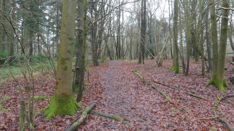
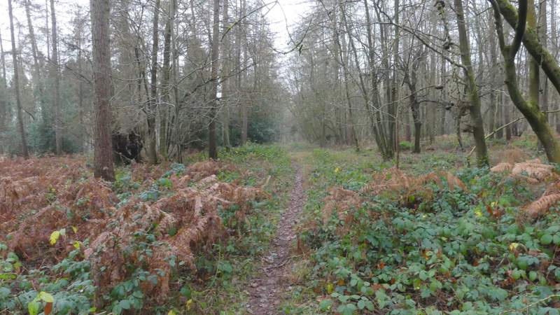
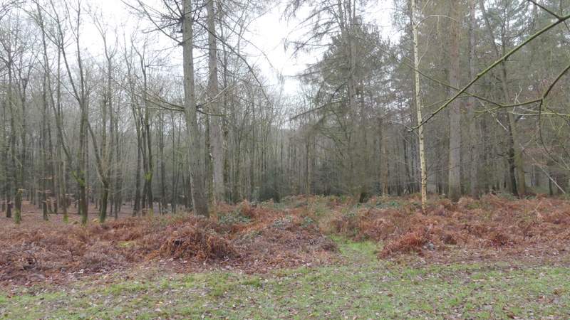
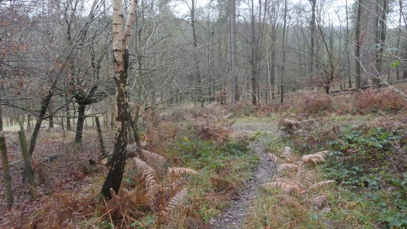
A path continued across the lane along the right edge of a field - after a short distance the path forked fractionally right to run between the field hedge and the garden hedge around 'Arbon'. On entering a field corner, the path should (according to the OS Map) go half-right across a part of the field to a projecting field corner, but there was no sign of this so I just followed a clear path along the edge of the field turning right and then left at that projecting corner. After a few hundred yards the path entered Homefield Wood, where I almost immediately spotted a couple of Fallow Deer. The path dropped down into a small valley and then rose up the other side. After a while the path crossed a grassy track (or possibly just a firebreak), continuing for several hundred yards before crossing a second one. The path soon then turned slightly right, now with a fence to its left. On reaching a definite track, the path turned left along it, dropping downhill through the wood to reach a path crossroads in a valley bottom, where I turned right (at this point I was feeling nostalgic for the orchids I'd seen in this wood back in the summer!).
The path after I crossed another lane (by a property named 'Arbon' on the OS Map)
The path continuing to Homefield Wood
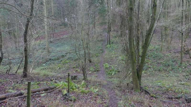
The path continuing through Homefield Wood
The path continuing through Homefield Wood
The path continuing through Homefield Wood
The path continuing through Homefield Wood, from where it crosses a second track
The path continuing through Homefield Wood, where it meets a third track and goes left