Pete's Walks - Cowleaze Wood and Radnage (page 2 of 6)
If you are considering walking this route yourself, please see my disclaimer. You may also like to see these notes about the maps and GPX files.
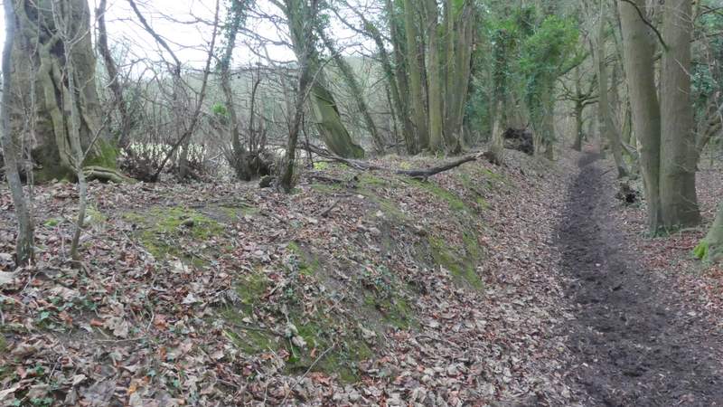
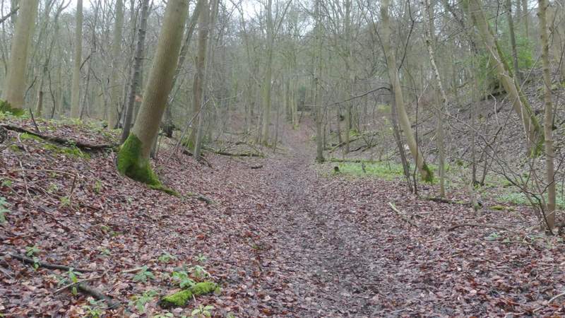
When I reached a crossing bridleway, I turned right and followed a hedgerow on my left towards the wooded slope now ahead of me. On reaching the foot of the hillside the path rose fairly gently, then steepened a bit after it turned left. It was never too steep though, and after a few hundred yards the bridleway ended when it met the A40 close to the top of Aston Hill, where I went left along the road (actually more or less straight on).
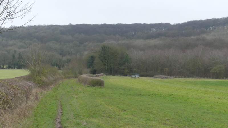
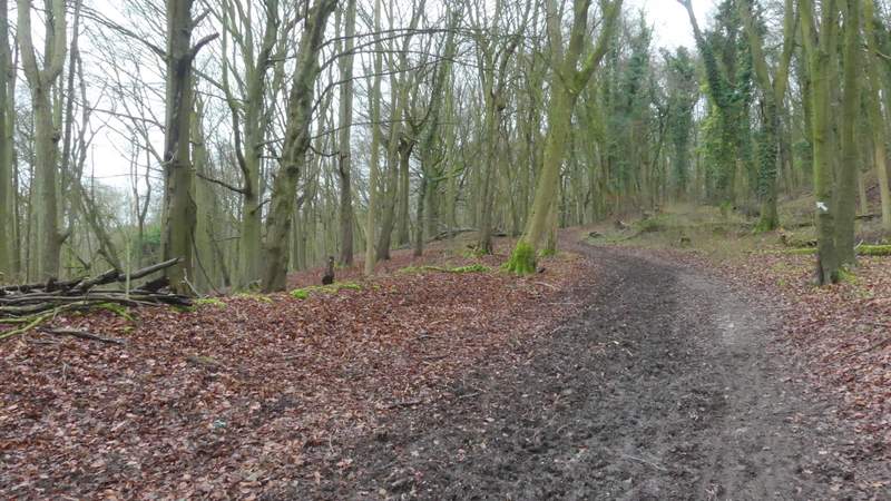
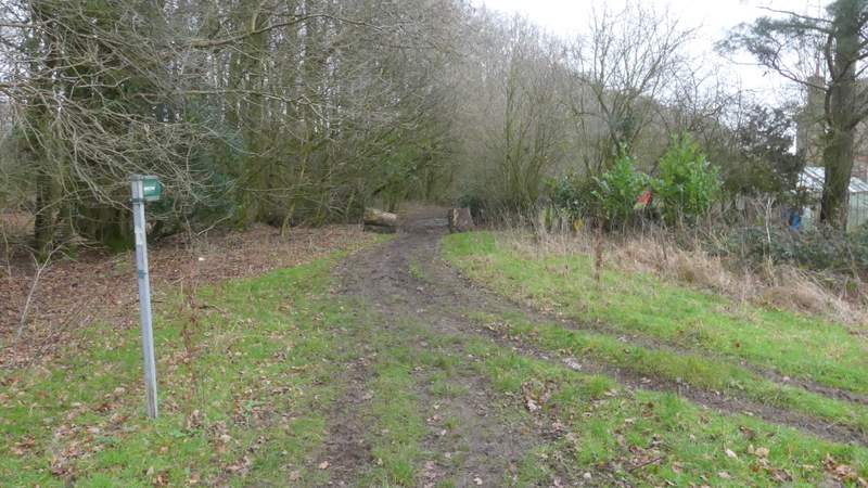
The bridleway to Aston Hill, after I turned right from the Ridgeway
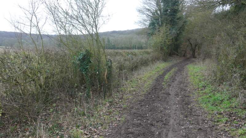
The bridleway to Aston Hill
The bridleway to Aston Hill
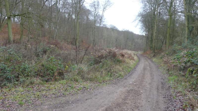
The bridleway starting to climb Aston Hill
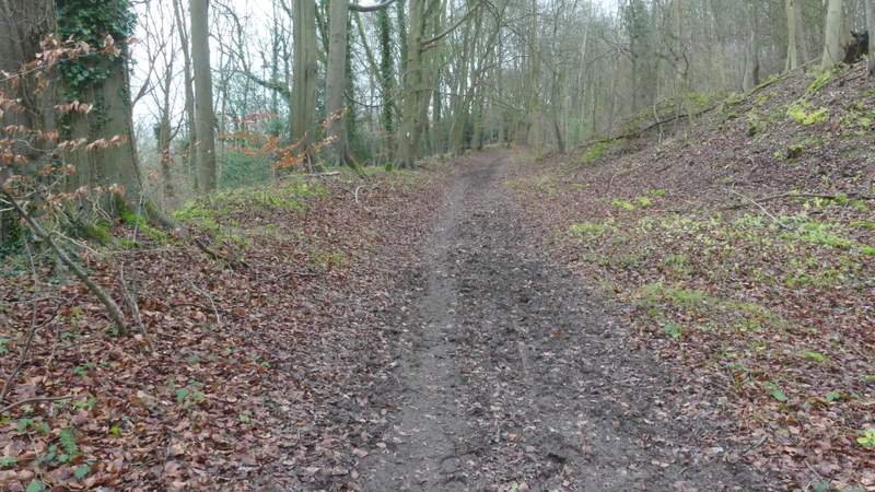
The bridleway climbing Aston Hill
The bridleway climbing Aston Hill
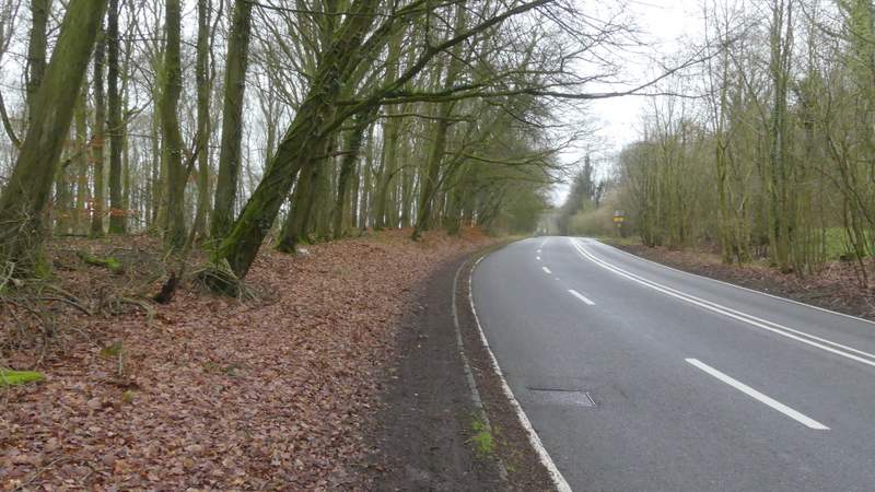
The A40 on top of Aston Hill
When a minor road went left (it goes to Kingston Blount, it's part of the route I usually drive to this part of the Chilterns) I followed it until it turned left, where I went straight on down a track or drive. This soon went half-right, but I went straight on again, along a bridleway, passing a cottage on my right and continuing just inside the southern edge of Kingston Wood for several hundred yards, with fields close by on my right.
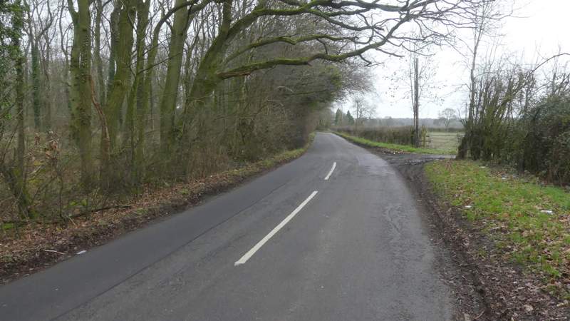
The minor road after I turned left from the A40
Near the start of the bridleway, where it goes straight on as the track goes half-right
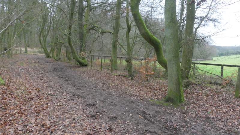
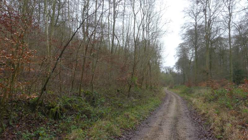
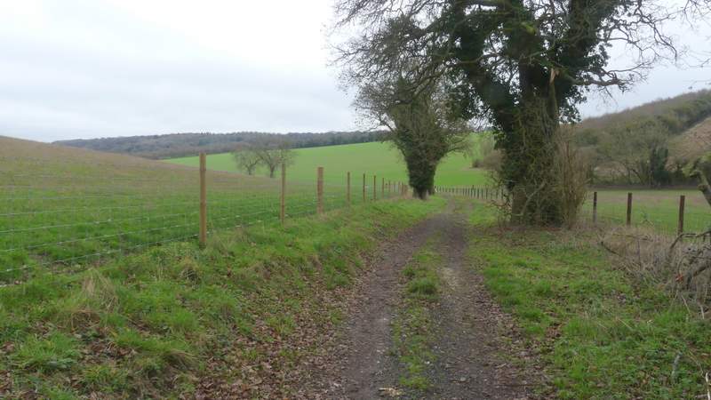
The bridleway continuing along the southern edge of Kingston Wood
The bridleway continuing along the southern edge of Kingston Wood
The bridleway continuing along the southern edge of Kingston Wood
Eventually, now in High Wood, I came to rather unusual crossroads of rights of way - the bridleway goes right here along a track, with footpaths going straight on and left. At some point as the bridleway followed a valley bottom the trees on my right became Lott Wood. When that wood ended (I often take a path going right here, to get to Stokenchurch), the bridleway continued for several hundred more yards just inside the edge of High Wood, stretching uphill to my left. On eventually leaving the wood the track continued between wire fences either side, still following the valley bottom. After a while the valley and track went half-left (a footpath came in on the right here), This part of the track being named Colliers Way on the OS Map (apparently it was once part of a route used for transporting coal from Wales to London).
The bridleway after it goes right at a path crossroads, now in High Wood
The bridleway now running between High Wood, left, and Lott Wood
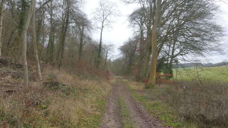
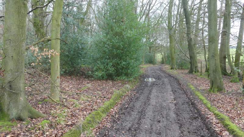
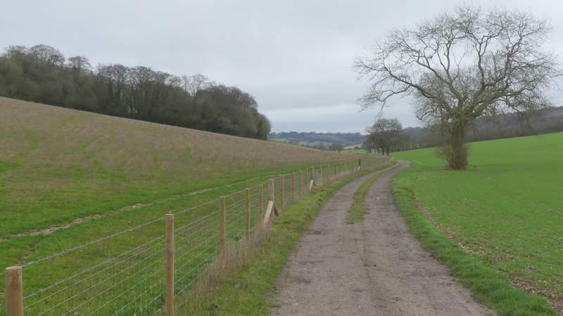
The bridleway continuing just inside High Wood (I think)
The bridleway continuing just inside High Wood
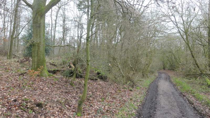
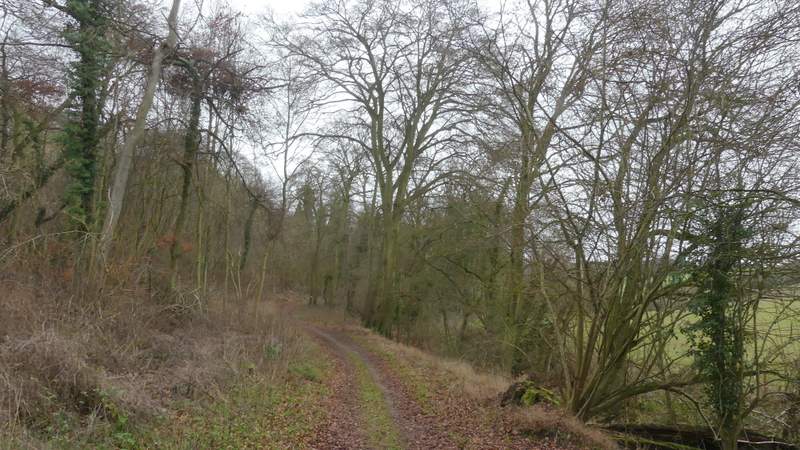
The bridleway continuing from High Wood to the path junction
Colliers Lane