Pete's Walks - Cowleaze Wood and Radnage (page 3 of 6)
If you are considering walking this route yourself, please see my disclaimer. You may also like to see these notes about the maps and GPX files.
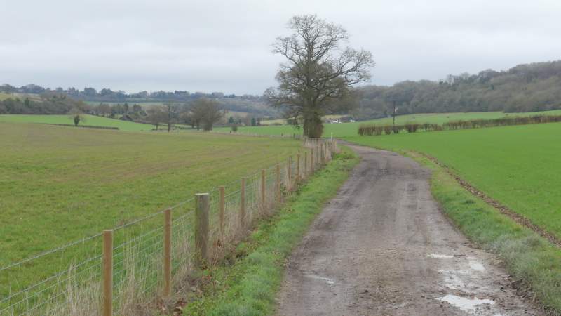
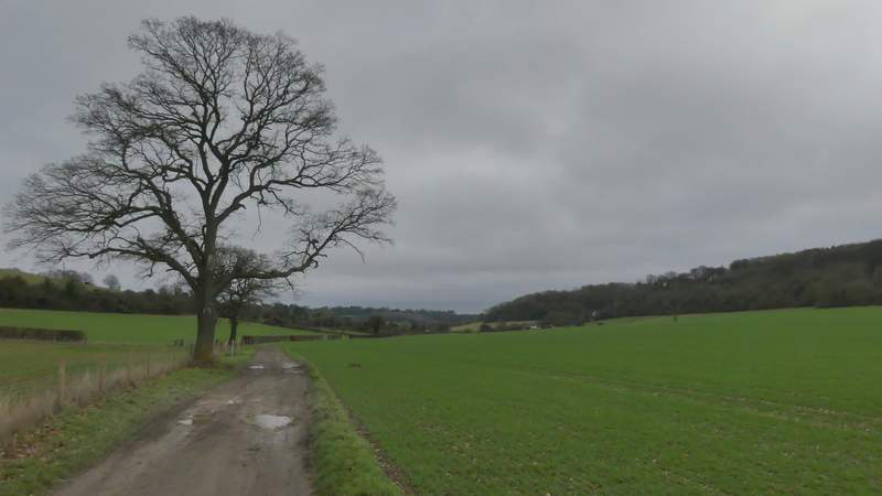
I followed Collier's Lane along a now broad valley for about half a mile from the path junction. When it ended at a bend in a lane called Grange Farm Road, I went straight on, but within a hundred yards I turned right onto another bridleway. This ran between fields, then turned left as it entered Pophley's Wood and headed fairly gently uphill. It curved right as it approached the top of the slope, where it left the wood and followed a drive to reach a minor road.
Colliers Lane
Colliers Lane
Grange Farm Road
Looking back to the start of the bridleway from Grange Farm Road
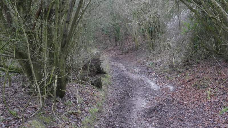
The bridleway just after it enters Pophley's Wood
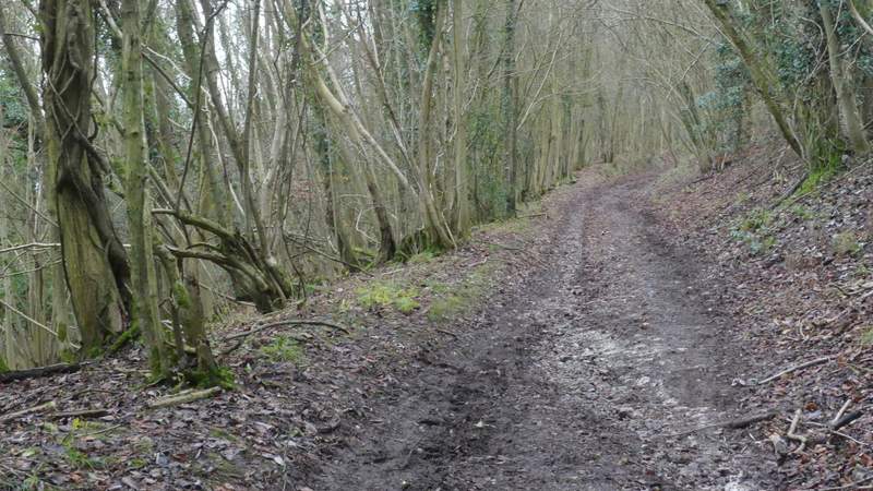
The bridleway climbing through Pophley's Wood
The bridleway climbing through Pophley's Wood
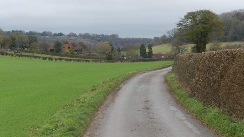
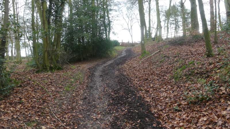
I turned right, and carefully followed the road for about a quarter of a mile to reach Waterend, where I turned left at a road junction. This lane continued through the hamlet, passing a crocodile-infested pond on my left, then dropped downhill between Holly hedges to reach Beacon's Bottom. At the bottom of the slope I turned right onto a footpath, which ran through a small Beech wood and then turned left, running a short way uphill between a hedge and a fence to reach the A40.
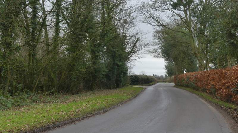
The minor road to Waterend
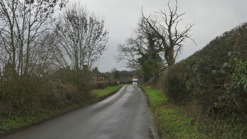
The minor road to Waterend
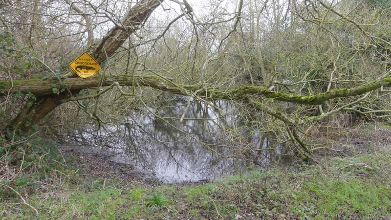
Crocodile-infested pond at Waterend
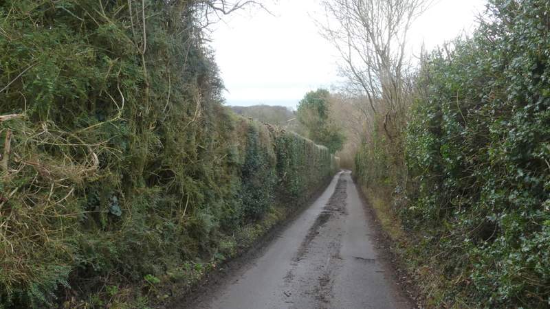
The lane from Waterend and Beacon's Bottom
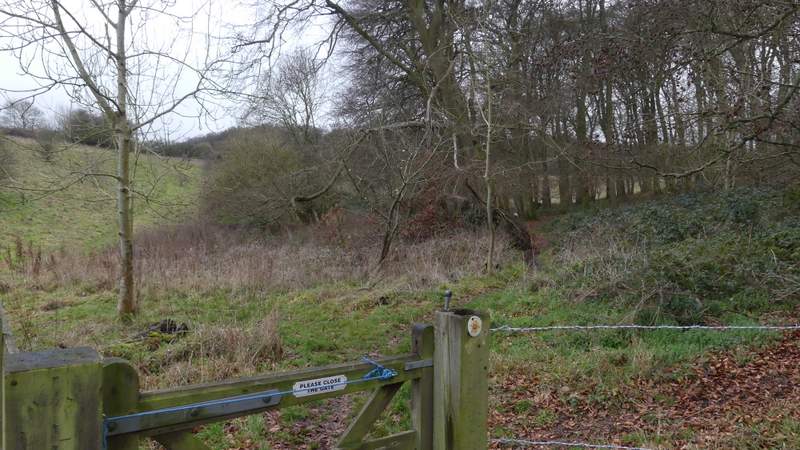
The start of path where I turned right in Beacon's Bottom
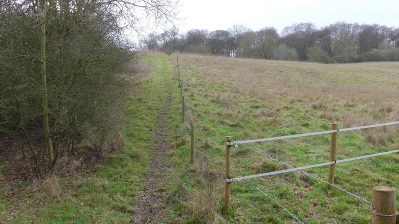
The path from Beacon's Bottom, heading towards the A40 and East Wood
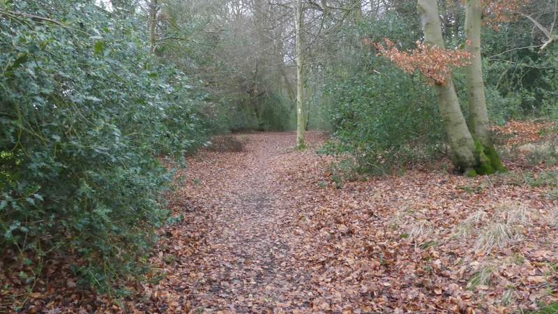
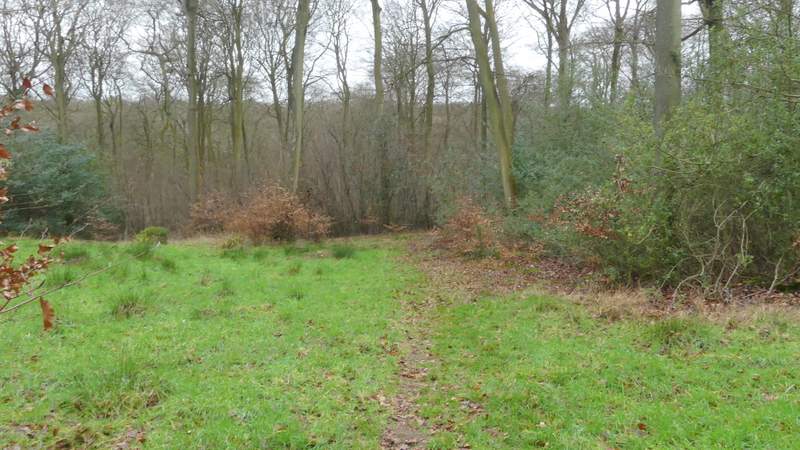
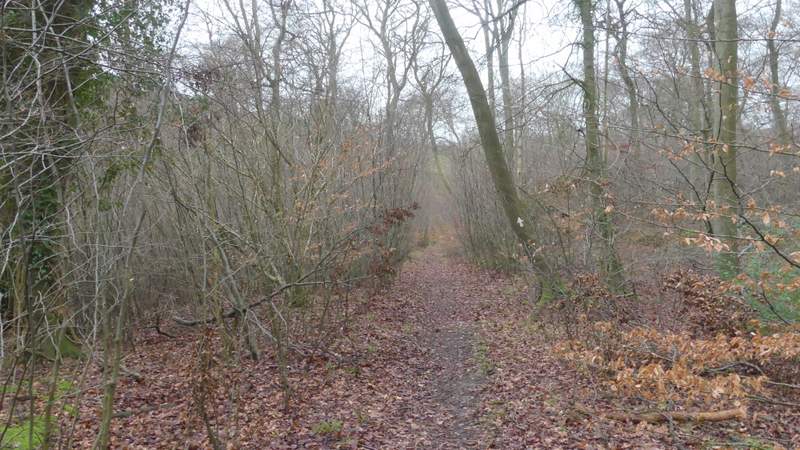
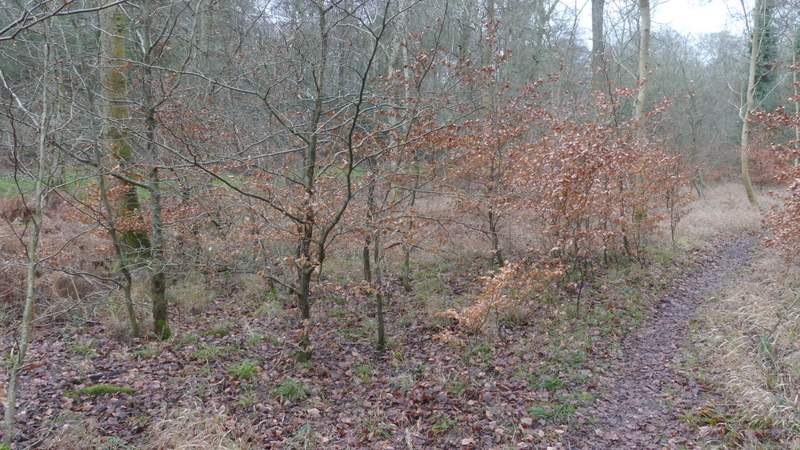
Across the main road a footpath entered East Wood. At first this ran close to an edge of the wood on my left, but after a few hundred yards I turned half-right at a path junction, crossing a small grassy open area before re-entering the trees. The path now dropped gently down through the wood to reach a valley bottom, where it turned right and then, for about a hundred yards, ran parallel to a grassy track a short way to my left. It then turned left to meet this grassy track, going a few yards left along it before turning right.
Near the start of the path through East Wood
The path through East Wood, immediately after the junction where I went right (or half-right)
The path through East Wood. descending gently into a valley
The path through East Wood, at the bottom of the valley where it runs parallel to a grass strip on the left
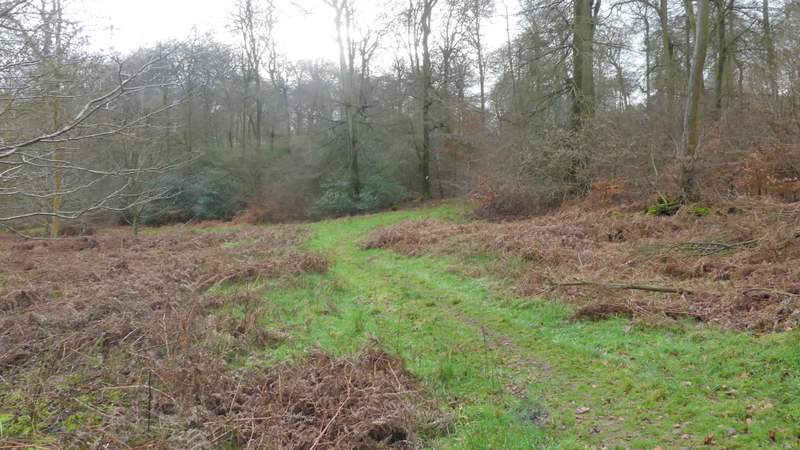
The path through East Wood, where it goes left along the grass strip for a few yards then turns half-right