Pete's Walks - Cowleaze Wood and Radnage (page 4 of 6)
If you are considering walking this route yourself, please see my disclaimer. You may also like to see these notes about the maps and GPX files.
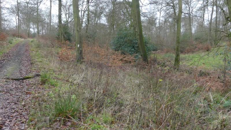
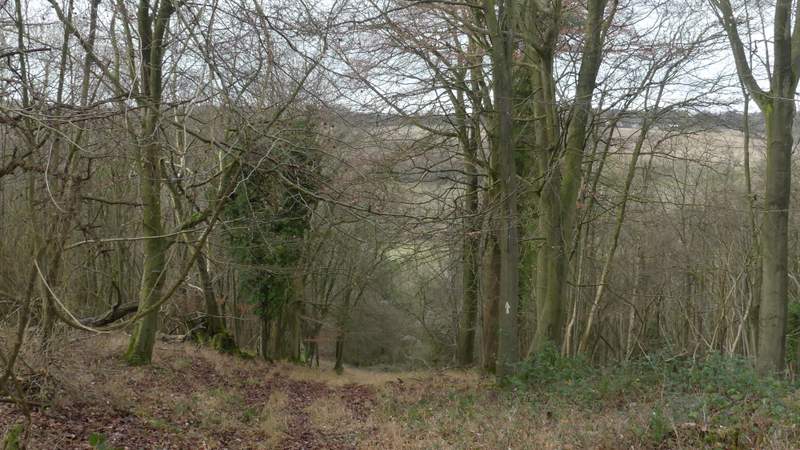
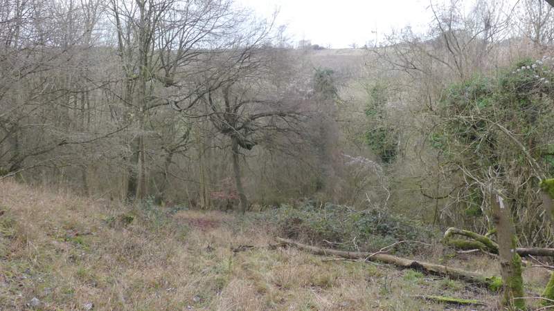
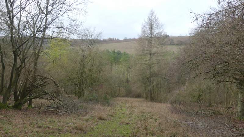
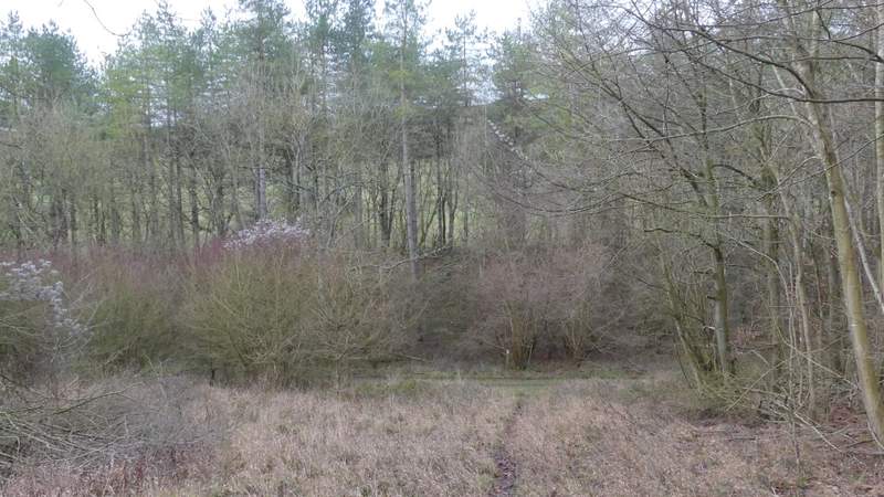
The path continued up the other side of the valley, still in East Wood. After a few hundred yards it turned right, and descended into a small valley, As it started up the other side, I looked carefully for an arrow on a tree showing where the public footpath forks slightly right from what was now a clear track (I managed to go wrong here once) - the first few yards of this bit of the path were somewhat unclear, but then I found another arrow on a tree and the path became much clearer. I eventually spotted a finger-post pointing towards me, but had to skirt some brambles to get to the drive the post was positioned by, where I turned right and within a few yards reached a B-road just south of Stokenchurch. I turned left along this road, immediately crossing the M40 motorway.
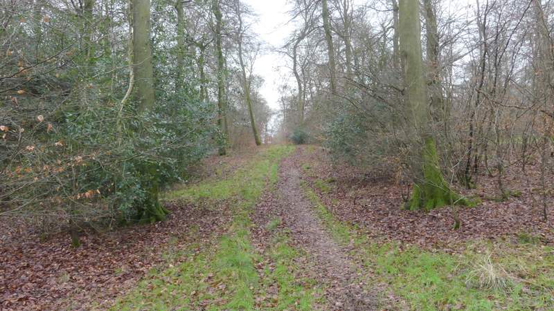
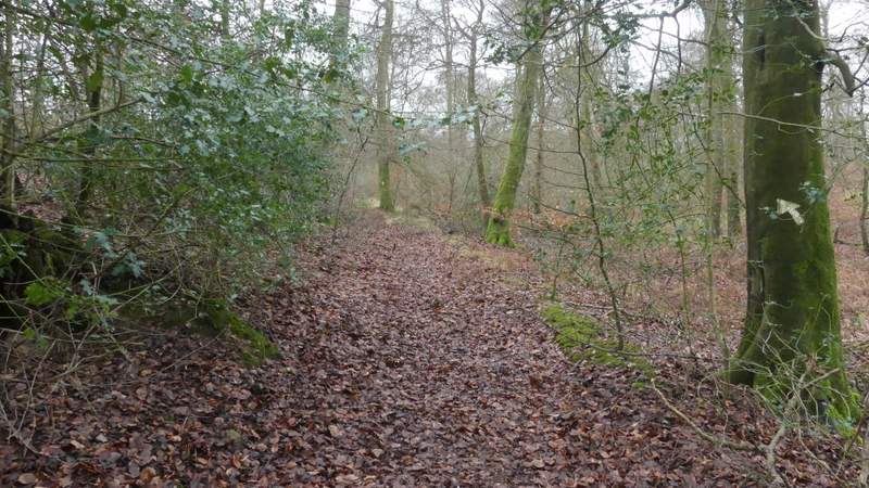
The path through East Wood, rising up the other side of the valley
The path through East Wood
The path through East Wood
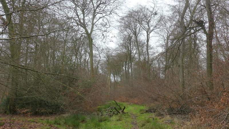
The path through East Wood, where it forks right from the obvious path or track
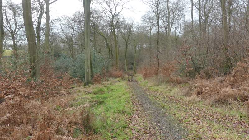
The path through East Wood, after it forks right (this is where it becomes clear again)
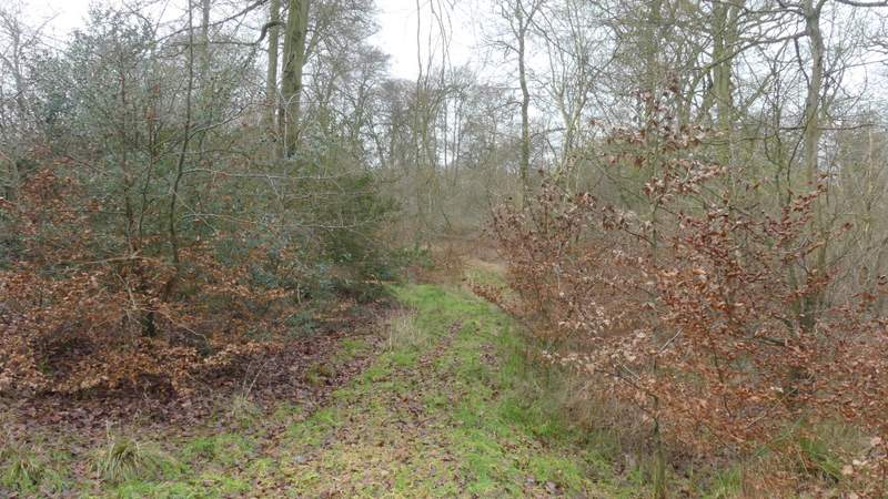
The path through East Wood, after it forks right
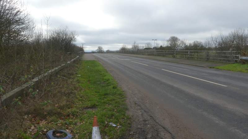
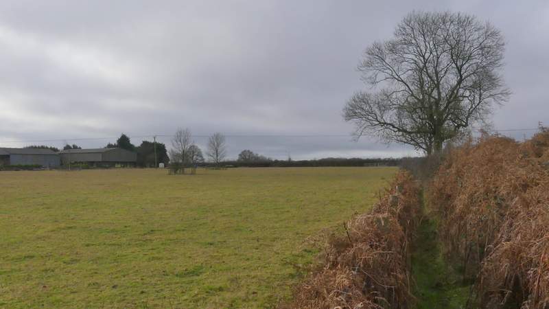
The road crossing the M40
I then turned right onto another footpath, that dropped down a small embankment and continued between hedges with what are now sheep pastures either side. Through a couple of gates, close to Penley Farm over to my left, the path continued along the right edge of another sheep pasture, as far as a finger- post that indicated where it turned left and crossed the pasture. On leaving this field, the path turned right and headed downhill through Penley Wood. By Chiltern standards this was a long and steep descent (which probably explains why I've walked this path in this direction many times, but only once in the opposite direction!). I spotted some Fallow Deer as I neared the bottom of the valley, where I turned left along a bridleway (I think the valley is called Twigside Bottom, at least that's the name on the OS Map about a mile south from here).
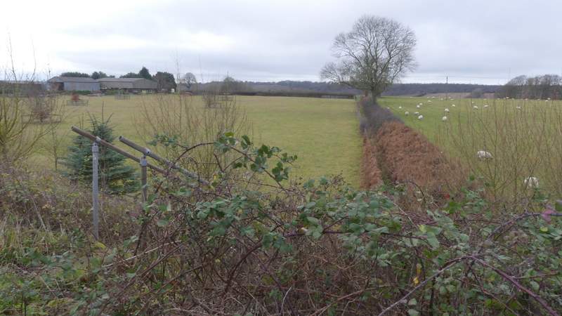
The start of the path past Penley Farm
The path past Penley Farm
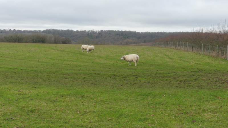
The path past Penley Farm, following the right edge of a sheep pasture
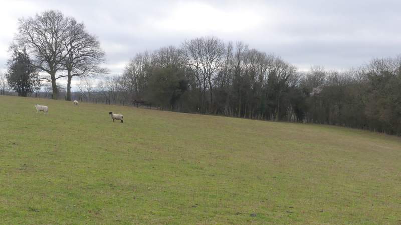
The path past Penley Farm, after turning left to cross the sheep pasture
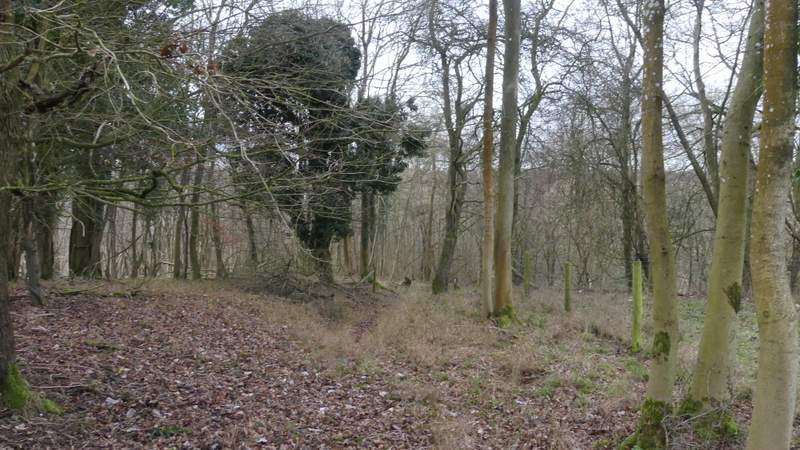
The path from Penley Farm descending through Penley Wood
The path from Penley Farm descending through Penley Wood
The path from Penley Farm descending through Penley Wood
The path from Penley Farm descending through Penley Wood
The path from Penley Farm descending through Penley Wood, approaching the bridleway