Pete's Walks - Gaddesden Row and Piccotts End (page 5 of 6)
If you are considering walking this route yourself, please see my disclaimer. You may also like to see these notes about the maps and GPX files.
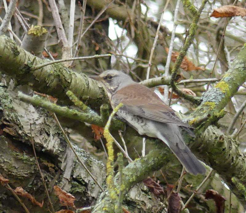
Across the lane a bridleway continued down a track, descending gently into a slight valley (where I spotted my first Fieldfare of this winter, on a tree by what looked like an old clay or chalk pit) and continuing just as gently up the other side, now following a hedgerow on my right. The bridleway levelled out, and after a while I had a hedgerow on my left instead - the OS Map shows the bridleway forking very slightly right here across part of a ploughed field and then a paddock, but there's never been any sign of it there, so I just stayed on the track. I then turned left (near Holtsmere End Farm, according to the OS Map) along a bridleway starting on the far side of a narrow bit of woodland (a footpath goes left here too, only to soon rejoin the bridleway).
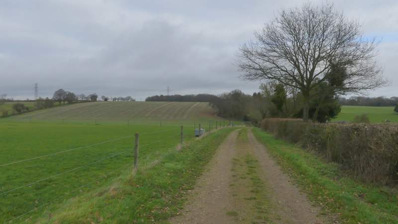
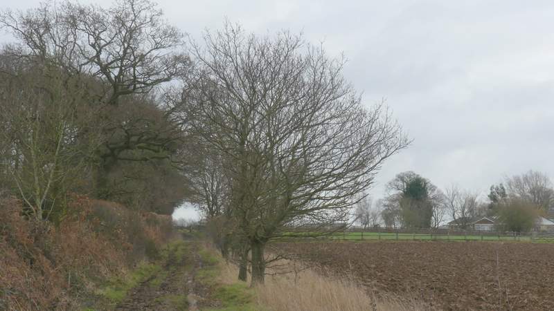
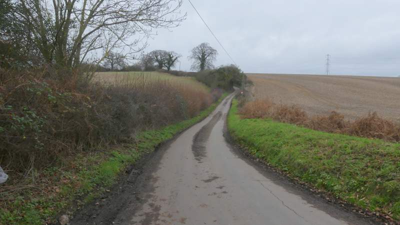
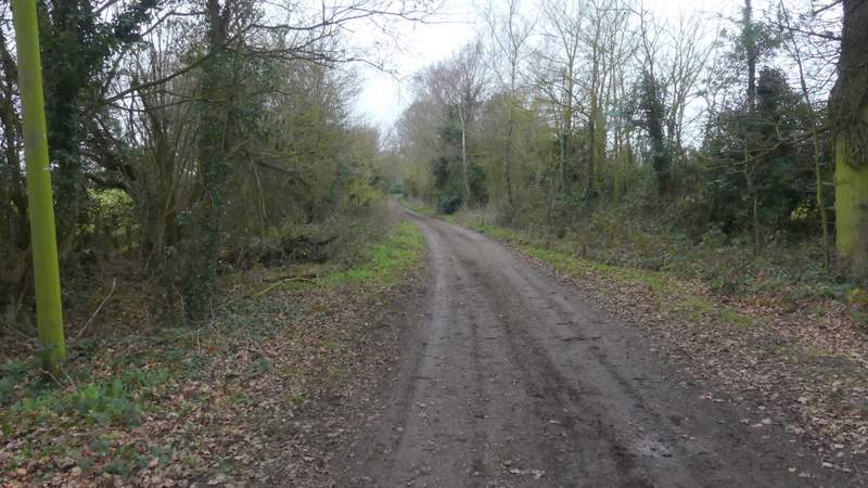
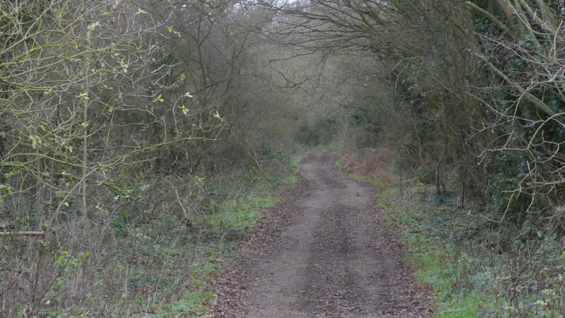
The bridleway continuing on the other side of Cupid Green Lane
The bridleway continuing on the other side of Cupid Green Lane
The bridleway continuing on the other side of Cupid Green Lane
The bridleway continuing on the other side of Cupid Green Lane
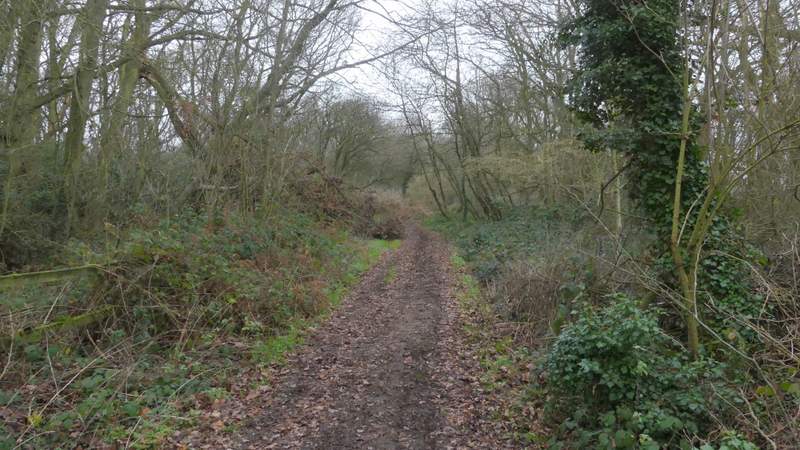
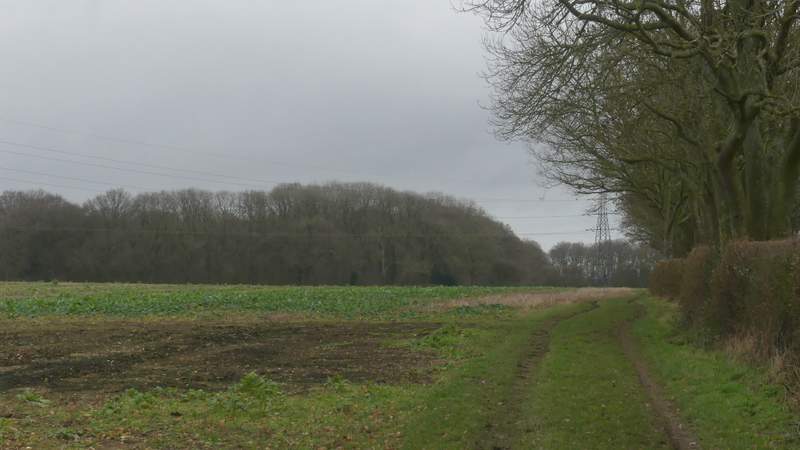
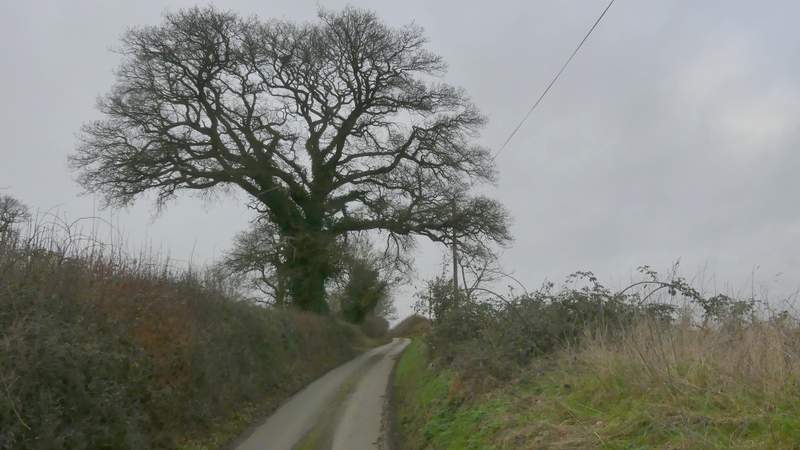
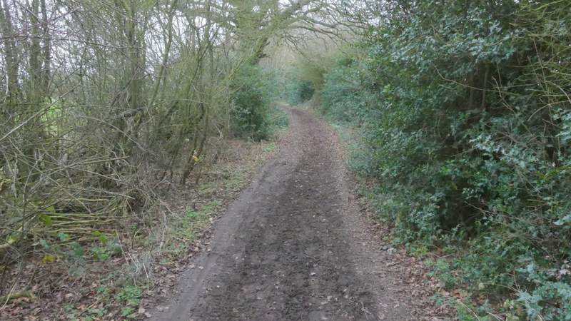
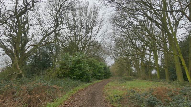
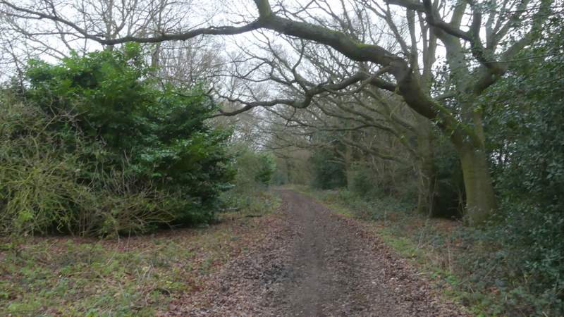
The bridleway after I turned left near Holtsmere End Farm
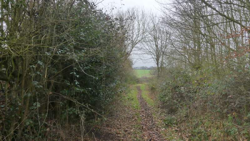
The bridleway after I turned left near Holtsmere End Farm
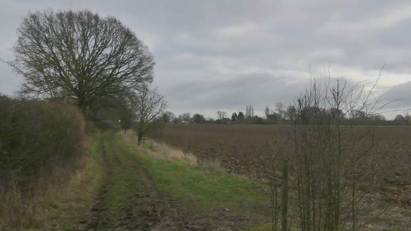
On reaching the end of this bridleway, I turned right along Gaddesden Lane (despite the name, the OS map shows it as a minor road). After carefully going round a couple of bends, I turned left into another lane (which I've always assumed is Green Lane, as it passes Greenlane Farm). I had to follow it for over half a mile, some of it uphill, but this passed quite quickly and I think I only saw one car (plus four horse riders and a cyclist). Just after a footpath came in on the right, I turned left down an 'other route with public access' (green circles on the OS Map) that would take me to Puddephat's Farm. This started as the drive to a property called Nirvana (I think), beyond which it continued as a track between tall hedges either side, first turning right, then left and then right again.
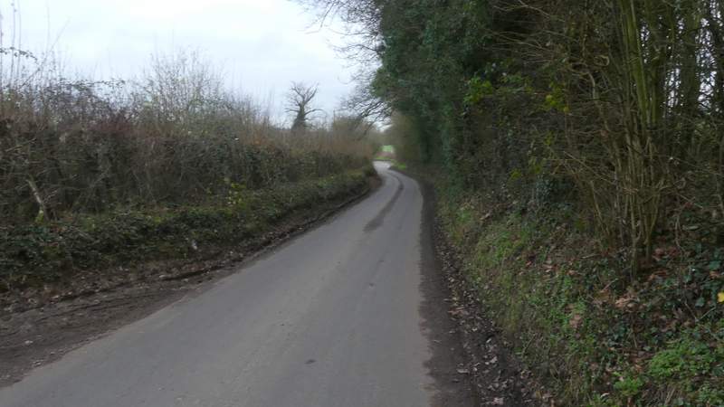
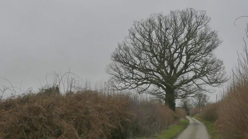
Gaddesden Lane
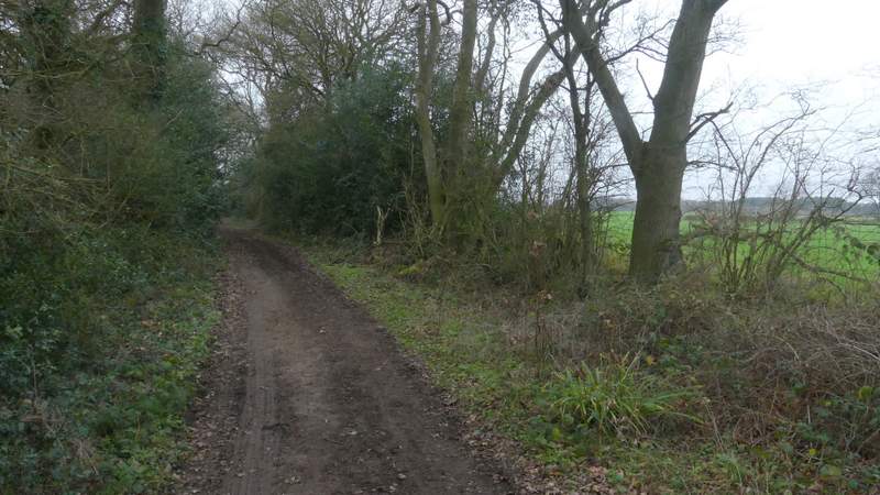
The start of Green Lane (not named on the OS Map, but it passes Greenlane Farm)
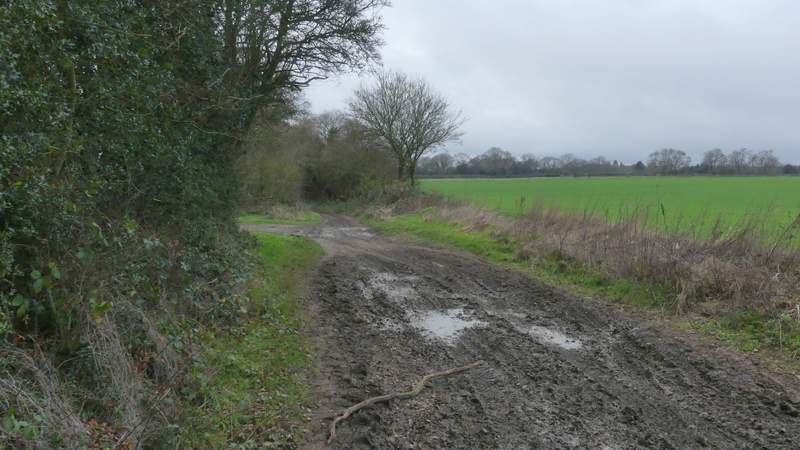
Green Lane
Green Lane
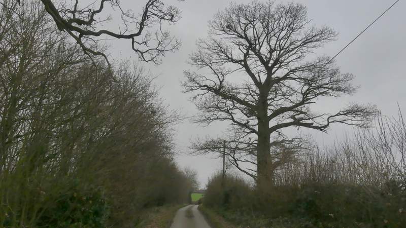
Green Lane
The drive to Nirvana
The 'other route with public access' continuing towards Puddephats Farm
The 'other route with public access' continuing towards Puddephats Farm
The 'other route with public access' continuing towards Puddephats Farm (this is just after it turns left)
The 'other route with public access' continuing towards Puddephats Farm
The 'other route with public access' continuing towards Puddephats Farm
The 'other route with public access' continuing towards Puddephats Farm