Pete's Walks - Old Amersham and Seer Green (page 4 of 6)
If you are considering walking this route yourself, please see my disclaimer. You may also like to see these notes about the maps and GPX files.
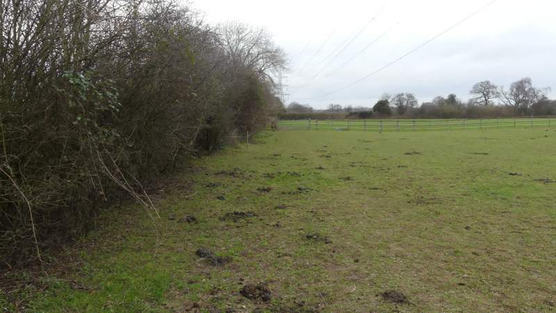
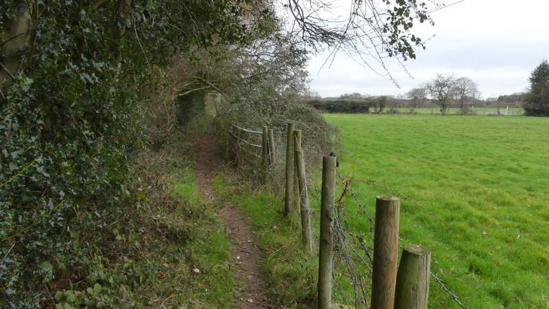
I went straight on along a lane or street, going uphill a short way (this was the steepest part of the whole route). I continued ahead over a crossroads, now in Seer Green Lane, and soon reached the village green on my left where I stopped on a seat to eat my lunch. At the T-junction at the end of Seer Green Lane, I crossed over and turned right along a footpath running the other side of a thick hedge from the road. This path soon ended and I followed the road a short way, passing Mayflower Barn on my left, then went through a gate giving access to the Quaker burial ground and Meeting House. In front of the Meeting House (which dates from 1688) I saw the gravestones of William Penn (who founded Pennsylvania) and members of his family. Just beyond the Meeting House I turned left to a pedestrian gate which gave me access to Welders Lane, where I turned left.
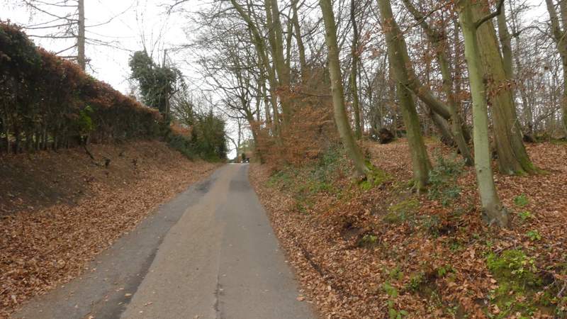
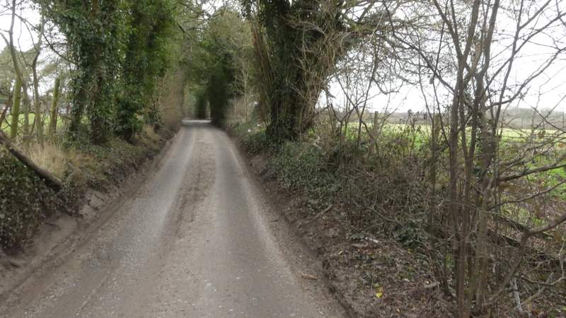
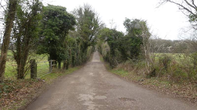
Seer Green Lane
Seer Green Lane
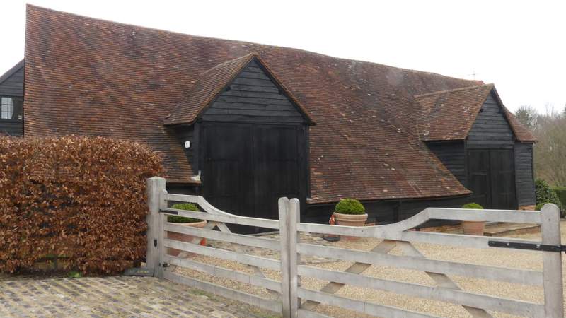
Mayflower Barn (reputedly partly built from timbers from the ship that took the Pilgrim Fathers to America)
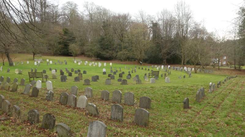
The Quaker burial ground
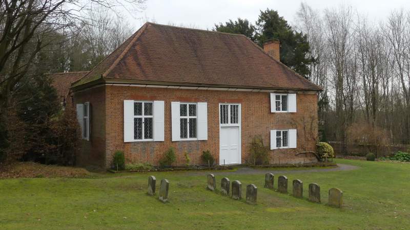
The old Quaker meeting house (I followed the path round to the side of it to reach Welders Lane)
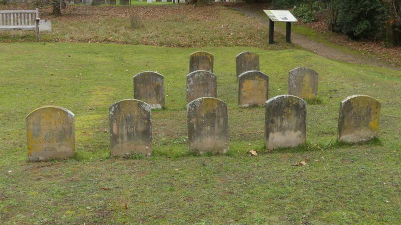
Gravestones of William Penn and members of his family
I soon passed the entrance to Jordans Youth Hostel, with the familiar YHA sign. I followed the lane for almost half a mile, then turned left along a drive going to Grove Farm (there were also signs for another farm and another house at the start of the drive). After a while the drive passed a wood on my right, at the end of which the footpath turned right, running between the wood and a paddock on my left. On reaching the end of the paddock I entered it and crossed it diagonally. On leaving it at the opposite corner, I crossed the drive to Grove Farm (obviously I could have saved time and energy by just following the drive to this point, but the OS Map doesn't show the bit I avoided as being a public right of way) and continued in the same direction across another paddock. The path then turned half-right, passing stables on my right, and continued along the left edge of some more paddocks. It then ran a short way between hedges either side to reach a path crossroads, where I went right.
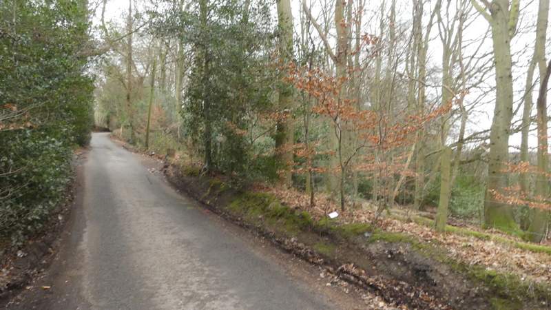
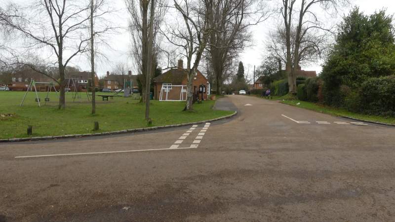
Welders Lane
Welders Lane
The drive to Grove Farm
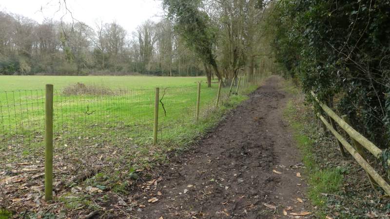
The path after I turned right from the drive
The path after I turned sharp left to head diagonally across a paddock
The path continuing across another paddock after crossing the drive to Grove Farm
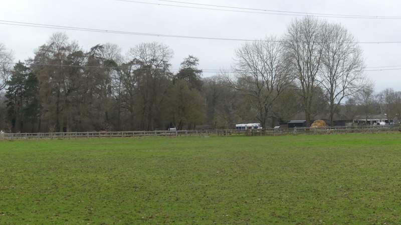
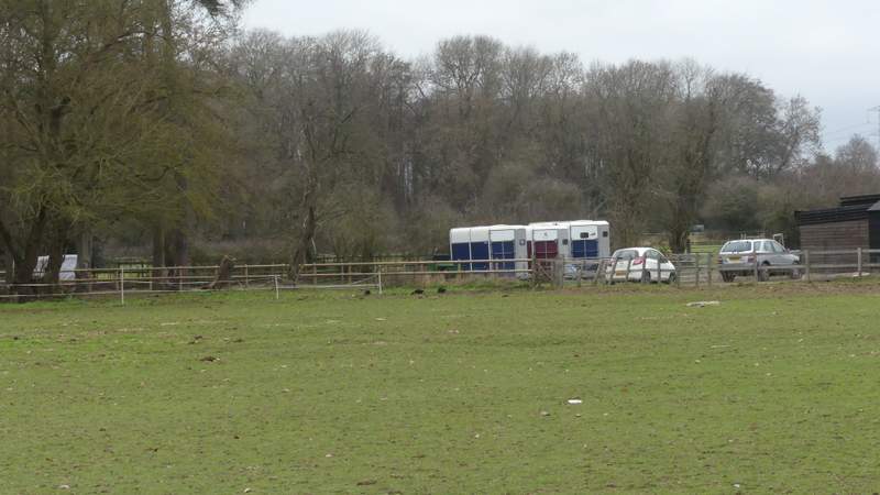
The path continuing from Grove Farm
The path continuing from Grove Farm