Pete's Walks - Old Amersham and Seer Green (page 5 of 6)
If you are considering walking this route yourself, please see my disclaimer. You may also like to see these notes about the maps and GPX files.
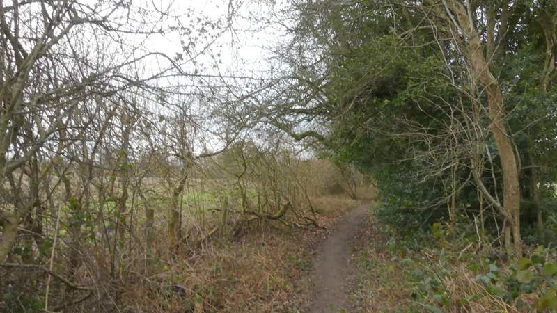
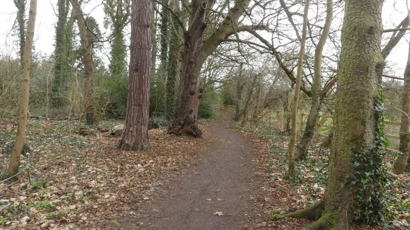
I followed the path eastwards for about half a mile, as it ran between hedges or fences either side, with a couple of pastures on my right. On finally coming to a path T-junction I turned right, this path running between old hedges either side for a hundred yards or so. On reaching another path T-junction I went left, and soon reached Narcot Lane. A path continued on the other side, running between a tall wire fence and hedges or trees on my right. It curved left to head northwards towards Chalfont St Giles. After almost half a mile it passed an old orchard on my left, and a few hundred yards further on it met a crossing track by a house on my right.
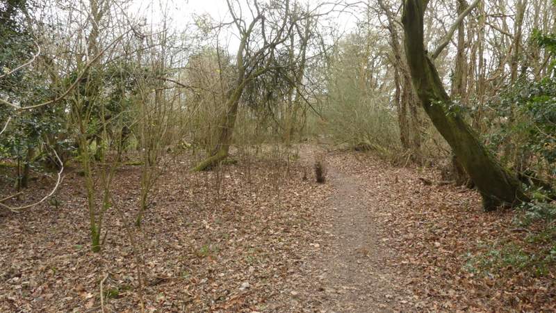
The path after I turned right at a path crossroads
The path after I turned right at a path crossroads
The path after I turned right at a path crossroads
The path after I turned right at a path crossroads
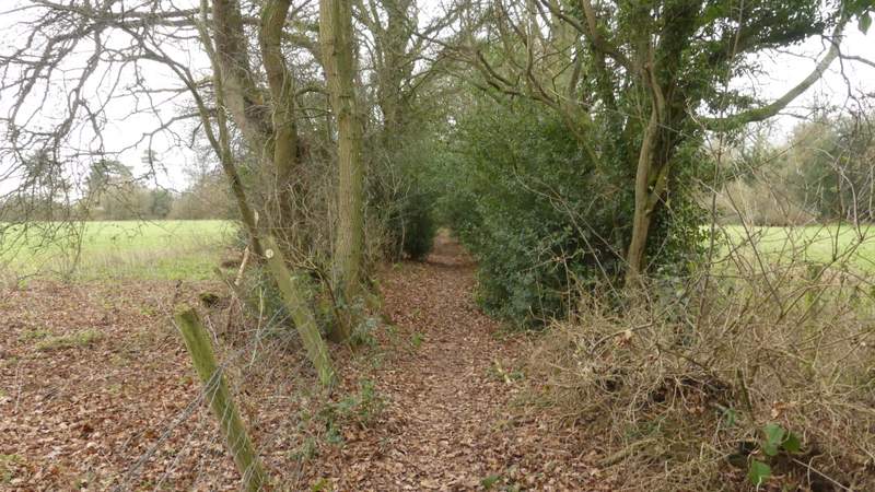
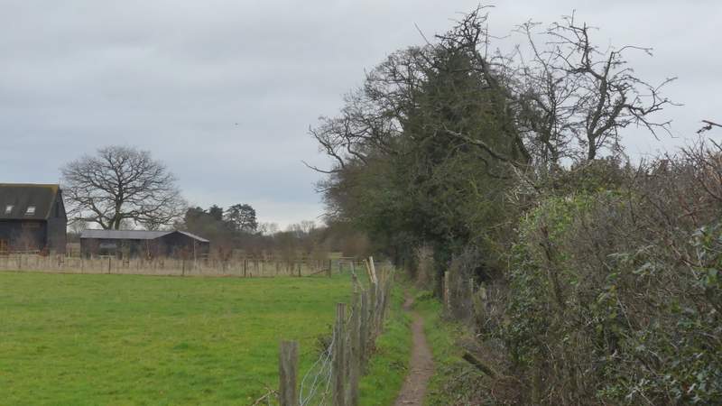
The path after I went right at a path T-junction
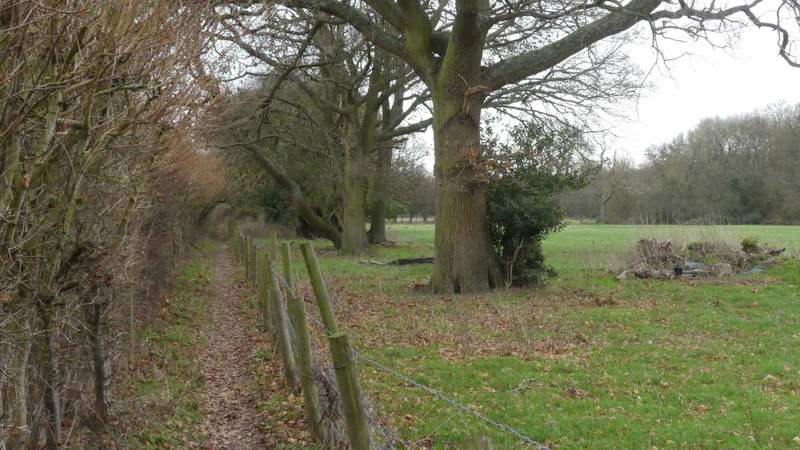
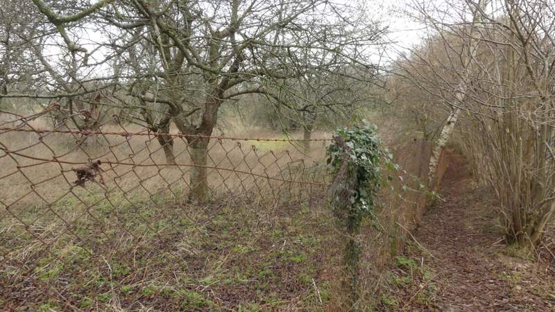
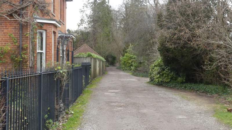
The path after I went left at a path T-junction, approaching Narcot Lane
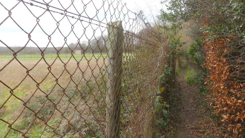
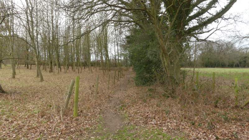
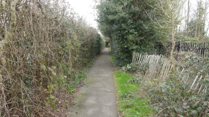
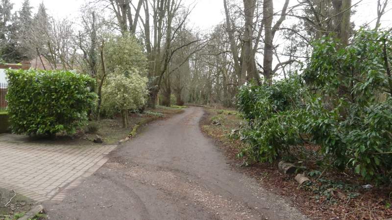
The path from Narcot Lane to Chalfont St Giles
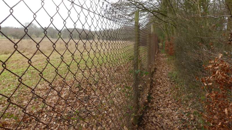
The path from Narcot Lane to Chalfont St Giles
The path from Narcot Lane to Chalfont St Giles
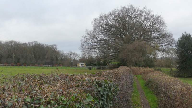
The path from Narcot Lane to Chalfont St Giles
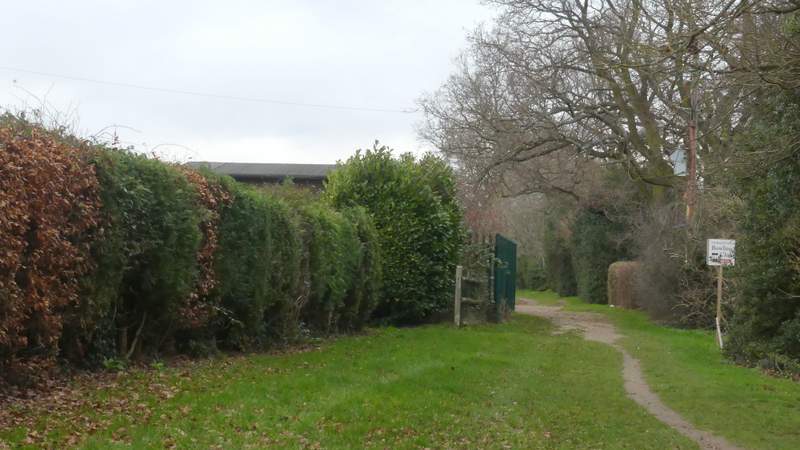
I went straight on, following the right edge of what I presume is a park, going up and down a dip and then passing a bowling green on my left (hidden behind a hedge). The path continued on past some sports fields on my right (there was a surprising number of spectators watching a soccer match on one of them). On coming to a corner, the now surfaced path went right and then immediately left (to continue in the same northwards direction as before), and then ran gently downhill between hedges and fences to reach a road in Chalfont St Giles. I turned right, soon passing Milton's Cottage (a 16th century building where the poet John Milton once lived, now a museum) on my right. The road curved slightly left to reach the centre of the village, where I turned left along Stratton Chase Drive (the Chiltern Way and South Bucks Way both go along here). After a while the drive curved left, but the public footpath carried straight on, following the Misbourne valley and soon reaching a bend in Mill Lane.
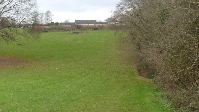
The path continuing to the playing fields
The path passing the Bowling Green
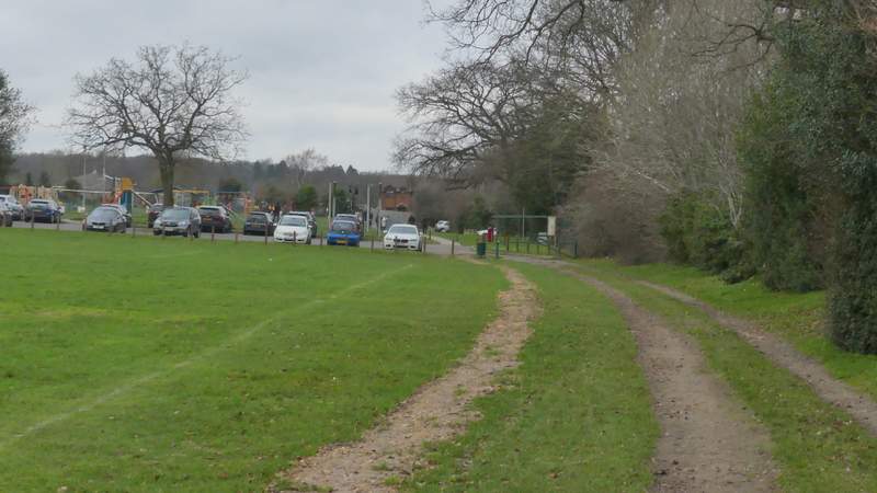
The path passing the playing fields
The path continuing from the playing fields
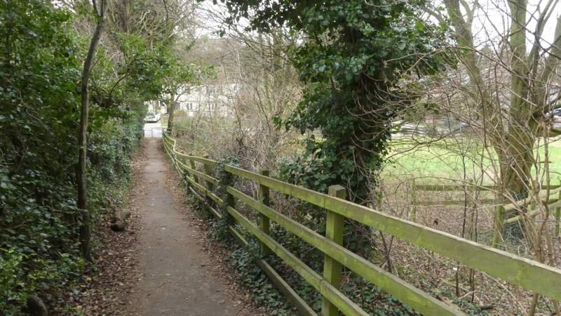
The path continuing from the playing fields
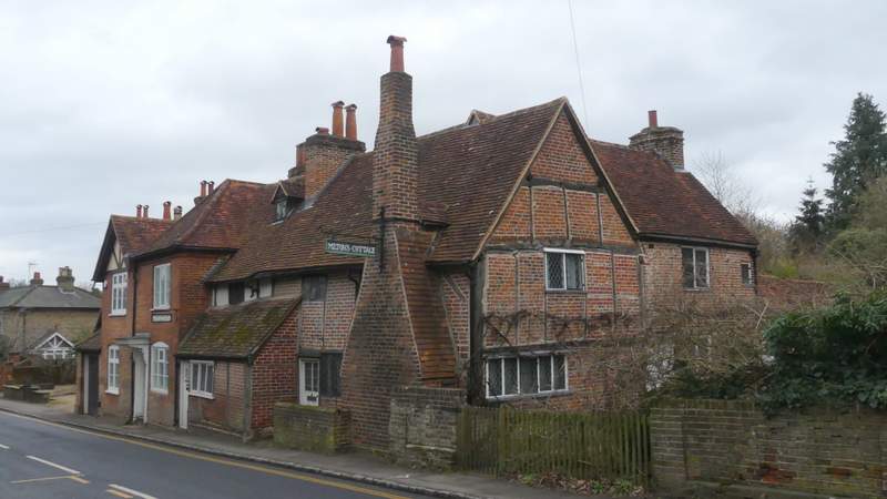
Milton's Cottage
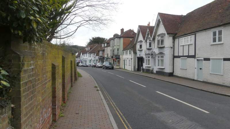
Approaching the centre of Chalfont St Giles
The start of Stratton Chase Drive
Stratton Chase Drive
The path continuing to Mill Lane