Pete's Walks - Old Amersham and Seer Green (page 6 of 6)
If you are considering walking this route yourself, please see my disclaimer. You may also like to see these notes about the maps and GPX files.
I went straight on down the lane. Where it very quickly turned left, the footpath resumed its course along the Misbourne valley. After a few hundred yards it was running along the right edge of a narrow strip of wood, with numerous paddocks to my right. Somewhere along here the Chiltern Way took a path going left, and after another hundred yards or so the path left the trees and ran between fences with paddocks either side - there was some light rain now, but it only lasted about 15 minutes. The path then continued alongside a hedge on my left to reach Bottom House Farm Lane. Having crossed this lane for the third time on this walk, the path continued across a paddock and then curved slightly left through an area of rough grass, before running for some distance beside a tall hedge on my right. When this came to an end, the path continued along a broad headland between arable fields (the one on the left sloping uphill). Near where another hedge began to the left of the path, I turned right at a path junction and crossed a field to a footbridge over the river Misbourne.
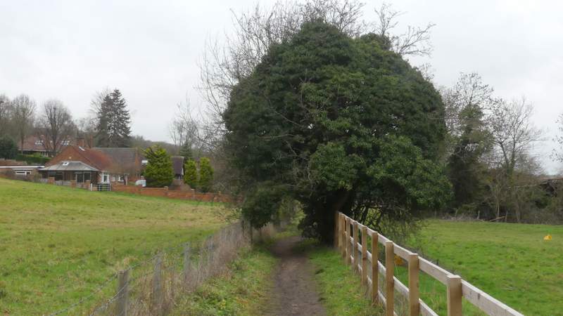
The path approaching Mill Lane
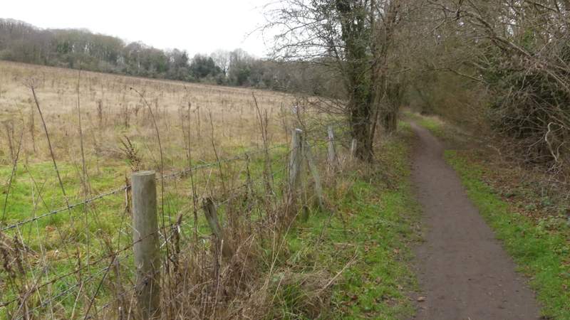
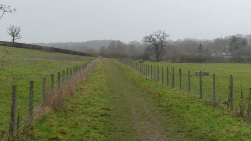
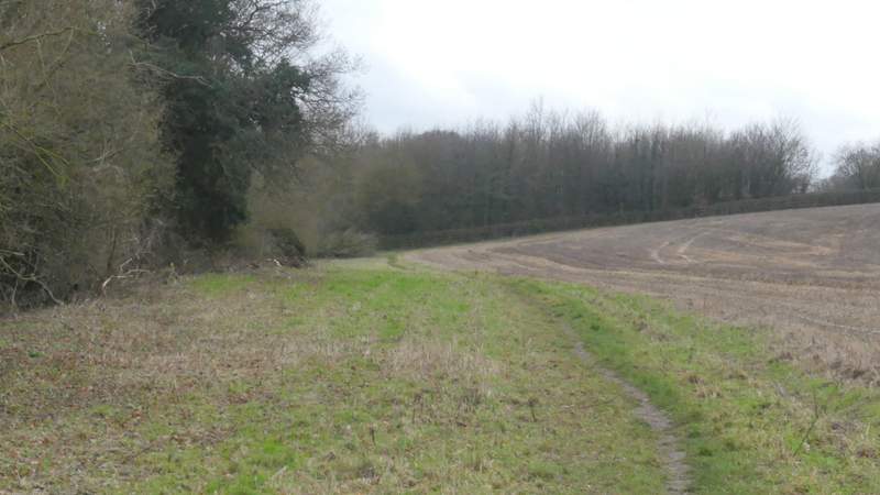
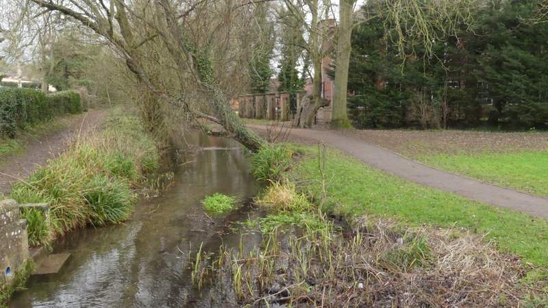
The path going northwest along the Misbourne Valley
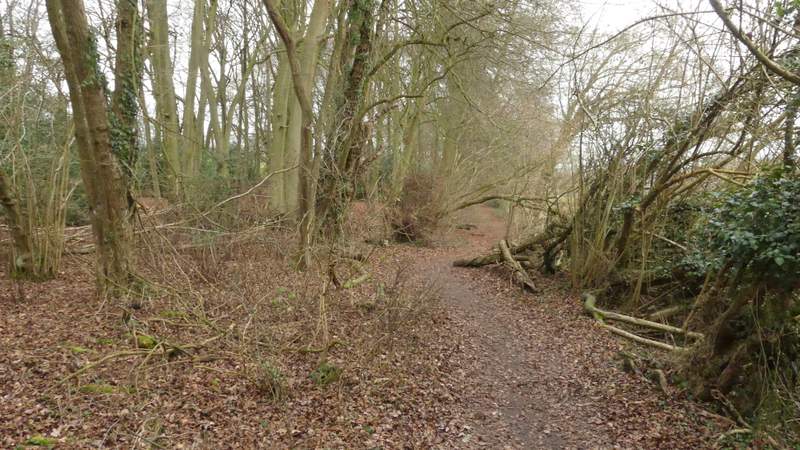
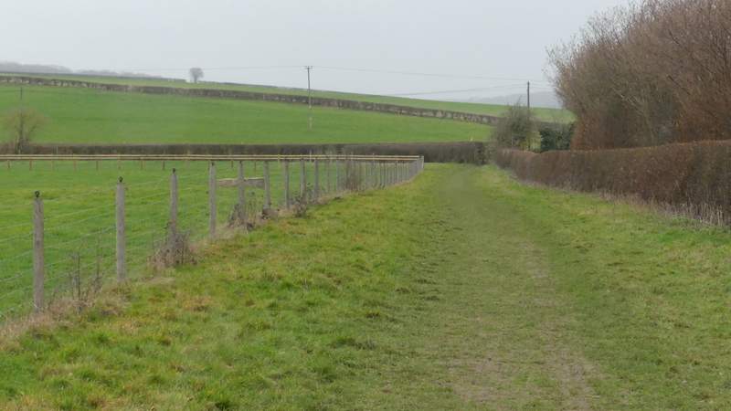
The path going northwest along the Misbourne Valley
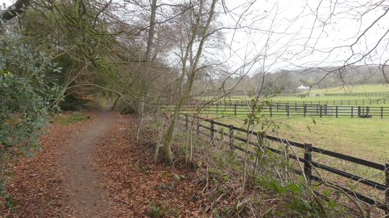
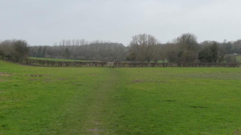
The path going northwest along the Misbourne Valley
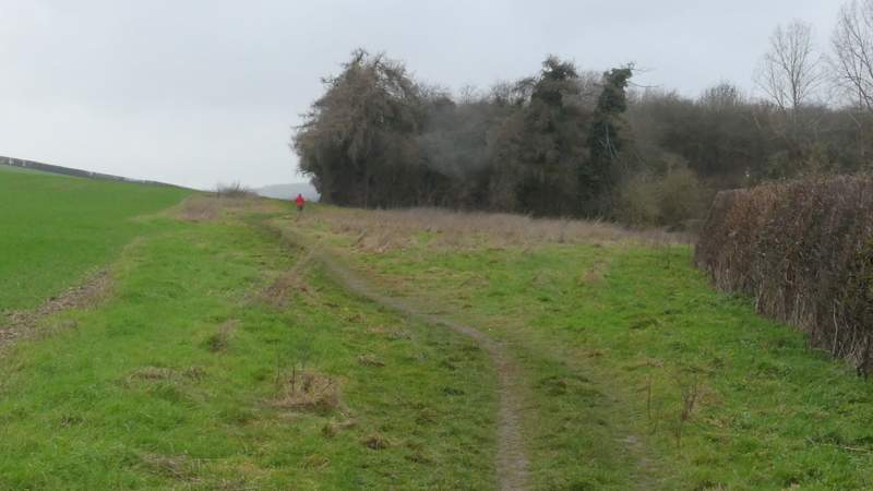
The path going northwest along the Misbourne Valley
The path going northwest along the Misbourne Valley
The path going northwest along the Misbourne Valley
The path going northwest along the Misbourne Valley
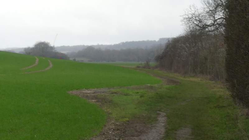
The path going northwest along the Misbourne Valley
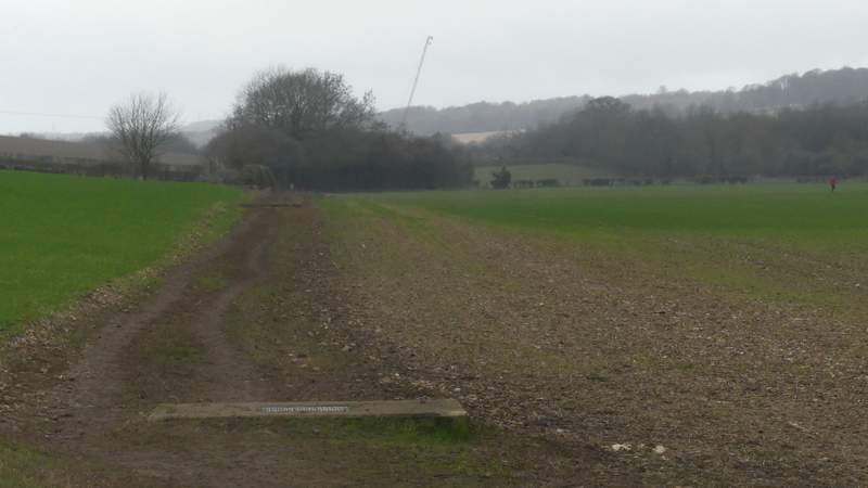
The path going northwest along the Misbourne Valley
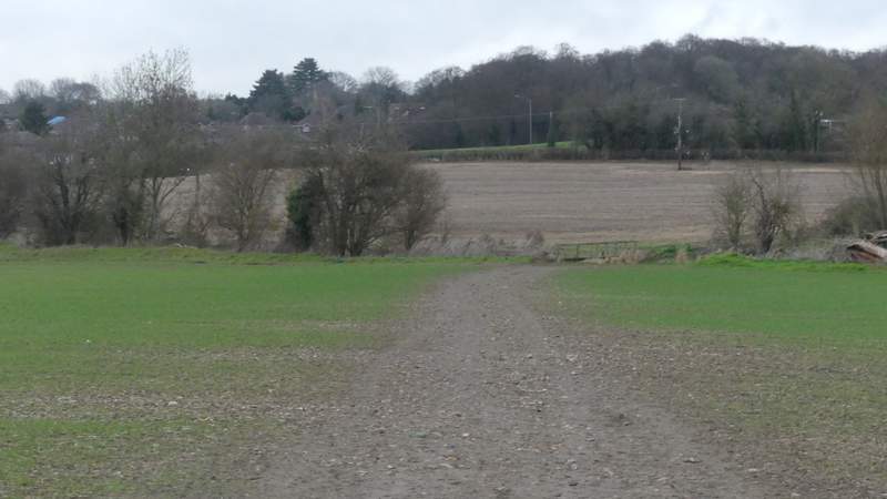
The path crossing a field to a footbridge over the river Misbourne, after I turned right
On the other side of the bridge I immediately turned left and followed a path running parallel to the river, alongside a large stubble field on my right (this section seemed longer than I remembered). At the end of this field, the path ran closer to the river and followed it under a road bridge. A short way further on, the path emerged into a meadow, following its left edge to reach a road on the edge of Amersham Old Town. I crossed over and turned left, following the road to a roundabout where I went right. I then took a footpath on the left (close to a pedestrian crossing), which was soon running between the river Misbourne on my left and a huge field sloping uphill on my right. I went straight on where a bridge crossed the river (near the back of Tesco) but then took a second small bridge over the river, turning left on the far side to retrace my steps back beside the river to the car park where I'd started.
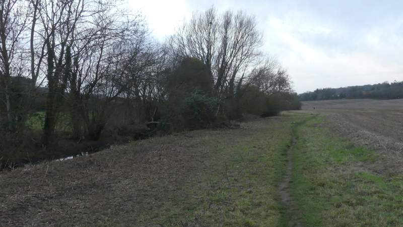
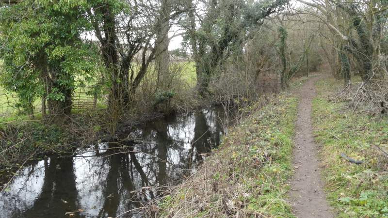
The path beside the river Misbourne
The path beside the river Misbourne
The path beside the river Misbourne
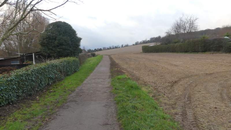
The start of the path from the road at Old Amersham
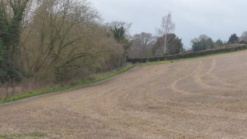
Further along the same path
The river Misbourne at Old Amersham (looking back from the bridge I crossed)
This was a very pleasant walk, better than I'd really expected it to be. I was annoyed at myself for going wrong at one point, but I'm sure the additional mile of walking did me good! Apart from a very short section just before Seer Green, all the paths used today were ones I was very familiar with, although it's a few years since I walked the bit from Jordans to Chalfont St Giles. The only part I was a little over-familiar with was the last section along the Misbourne Valley to Amersham Old Town, which I'd already walked two or three times in the last couple of years.