Pete's Walks - Circular walk from Chesham (page 5 of 6)
If you are considering walking this route yourself, please see my disclaimer. You may also like to see these notes about the maps and GPX files.
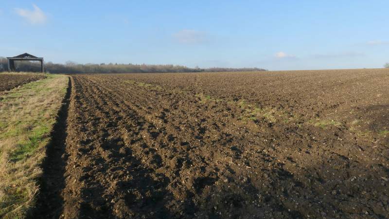
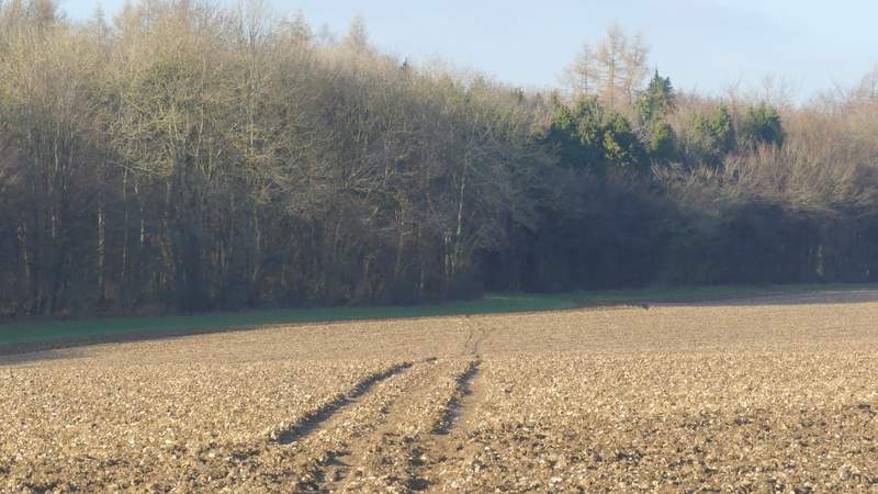
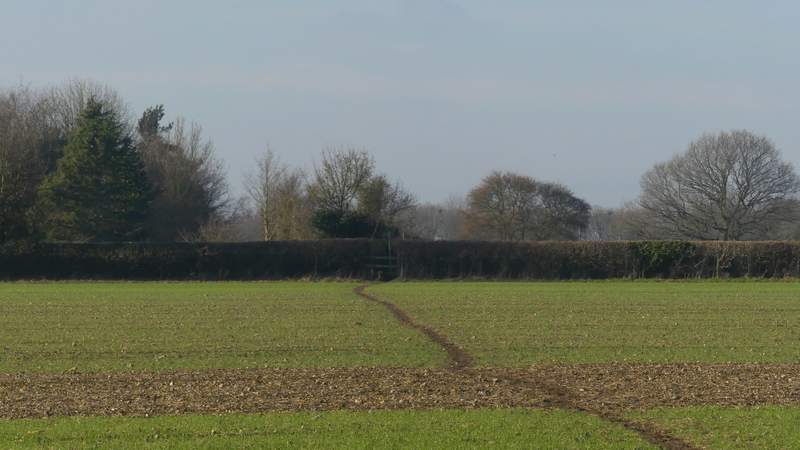
Lunch over, I took a path on the right (near the top end of the triangular green), which ran between garden boundaries then crossed a grassy area (I think this is part of a garden, rather than a field, but could be wrong). On the other side I turned right along the same road I'd just left in Latimer, and followed it northwards. After a quarter of a mile or so I continued along the road when a path went left (by an entrance to a private housing estate, Parkfield Latimer), but after another three or four hundred yards I took a second path going half-left across a very large field. The path hadn't been fully re-instated after ploughing, but other people had already walked the path before me so the going wasn't too bad. On finally reaching the far side of the field, I continued on very pleasantly through Codmore Wood. On leaving the wood, the path crossed an arable field to reach a lane. I then went straight on, along the left edge of an empty pasture to reach a second lane.
The path from Latimer, that cuts off a bit of the road from Latimer
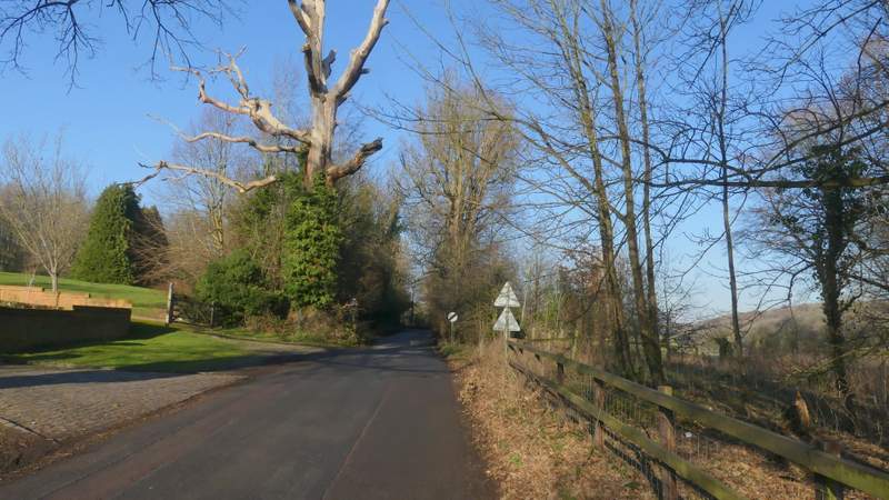
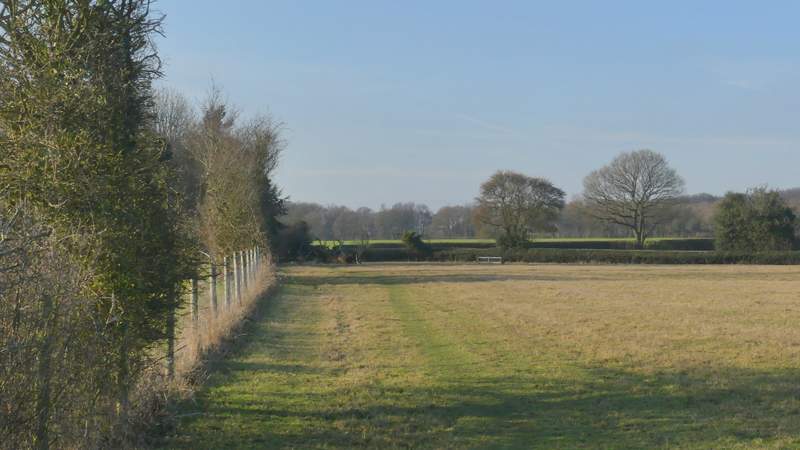
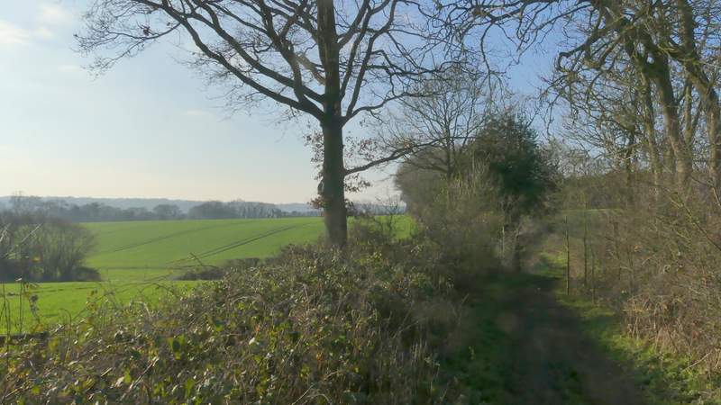
The lane going north from Latimer
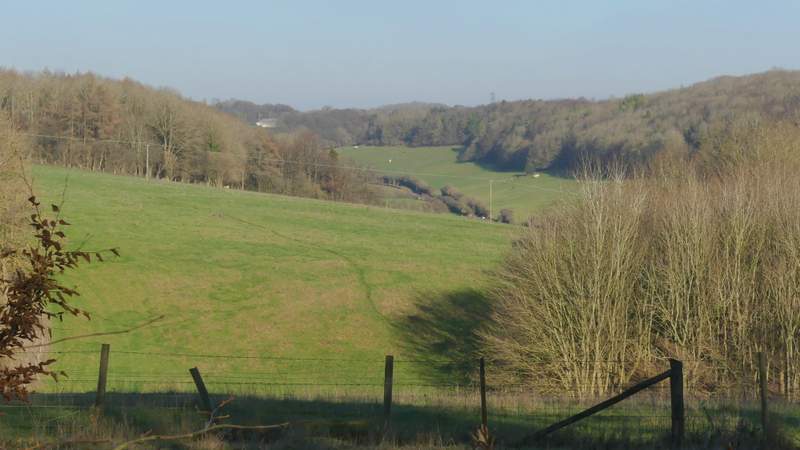
View right towards Flaunden Bottom, from the lane going north from Latimer
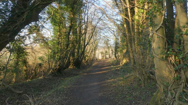
The lane going north from Latimer
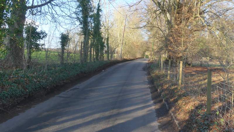
The lane going north from Latimer
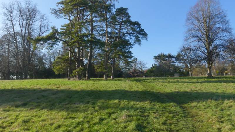
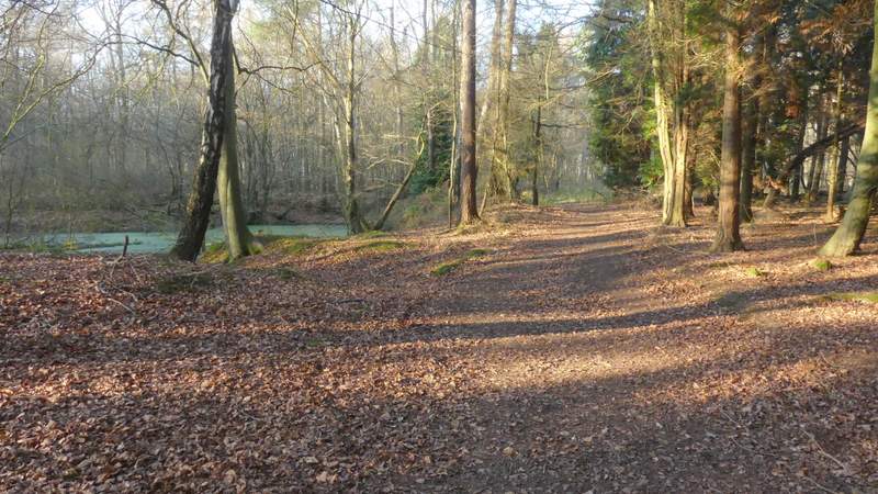
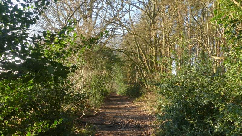
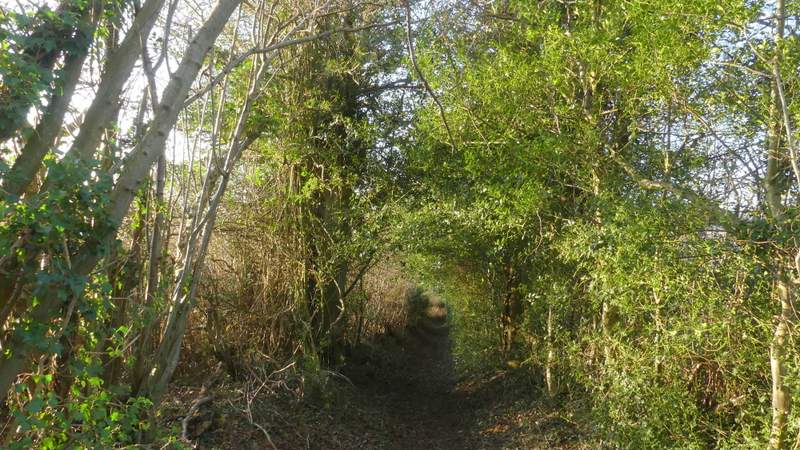
The path to Codmore Wood
The path to Codmore Wood
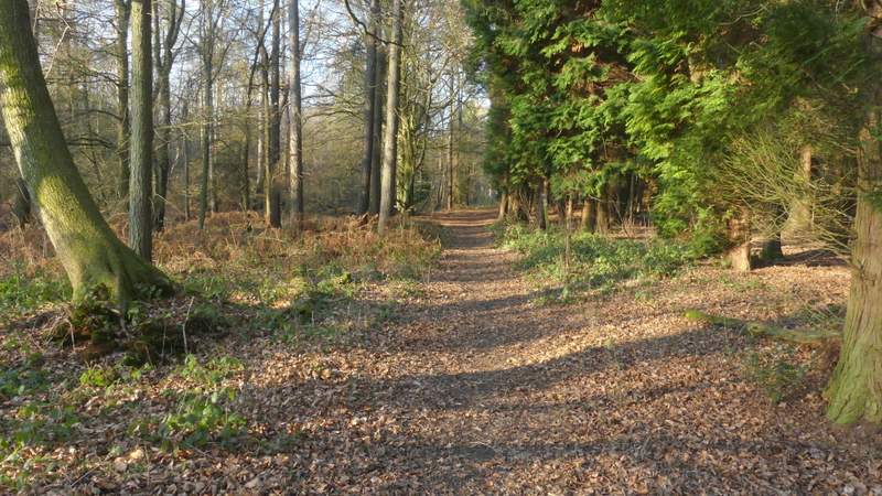
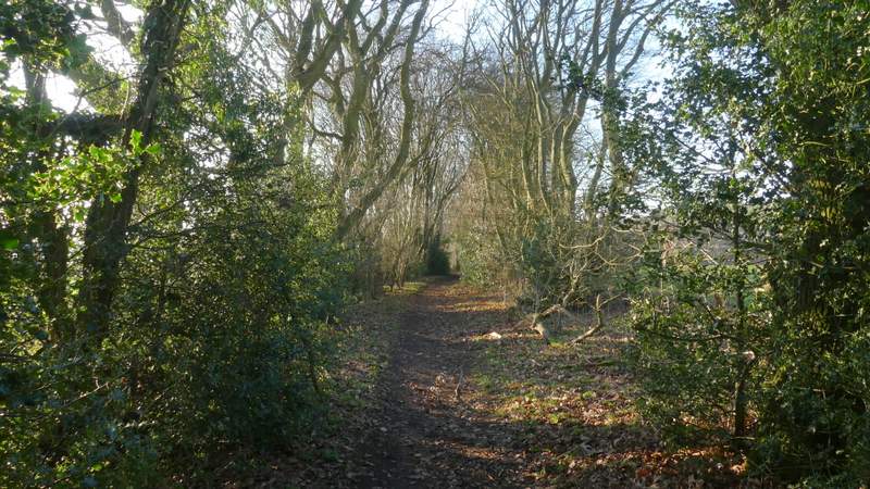
The path continuing through Codmore Wood
The path continuing through Codmore Wood
The path continuing from Codmore Wood
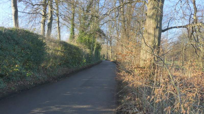
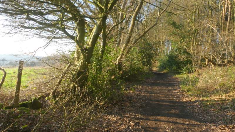
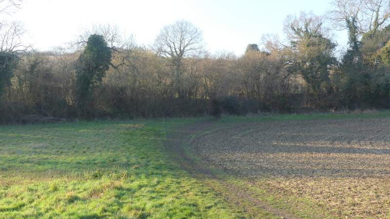
The path between the two lanes
I turned left along the lane for a short distance, then when it turned to the left I took a bridleway on the right that started down a cement drive past a farmyard. When the cement drive reached a gate, the bridleway (named Green Lane on the OS Map) continued through another gate just to the left, and carried on westwards between hedges either side. After five or six hundred yards another bridleway came in on the right, then a little further on a bridleway went left, and then the bridleway soon began to descend slightly. It turned right for 50 or so yards then went left and descended more steeply. Near the bottom of the slope a broken stile on the right indicated the start of a short path that cut across the corner of a field to reach another hedge-lined bridleway called Bottom Lane, where I turned right (if I'd missed this path I could have just turned right into the start of Bottom Lane).
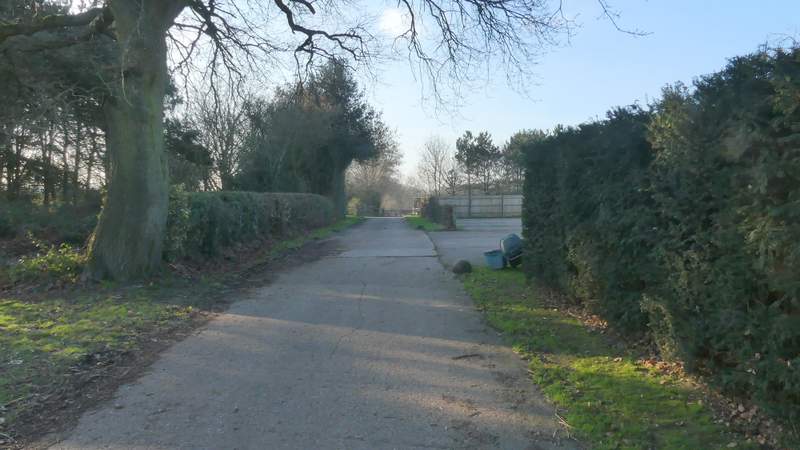
The start of the bridleway called Green Lane (where a gate goes across the concrete drive, the bridleway goes through a smaller gate on its left)
Green Lane
Green Lane
Green Lane
Green Lane
Green Lane (between where it turns right and then quickly turns left)
Green Lane
The short path between Green Lane and Bottom Lane