Pete's Walks - Circular walk from Chesham (page 6 of 6)
If you are considering walking this route yourself, please see my disclaimer. You may also like to see these notes about the maps and GPX files.
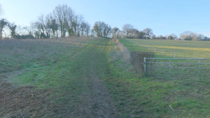
Bottom Lane presumably gets its name from the fact that it runs along the bottom of a valley. I followed it for about half a mile, ignoring one or two turnings on either side, until just after a bridleway came in at an angle from the left. A path then crossed Bottom Lane and I turned left, following the path a short way uphill alongside a fence on my right. Through a hedgerow, the path turned right alongside the hedge for a few yards, then turned left and crossed a large field (it had a cabbage crop or something similar in it). On the far side of this field the path continued alongside a mature hedgerow on my right, passing the ground of a school on the other side of the hedge at one point. I then crossed a drive (going to Dungrove Farm), and continued straight on across an empty paddock.
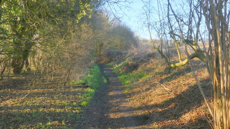
Bottom Lane
Bottom Lane
Bottom Lane
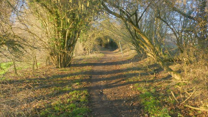
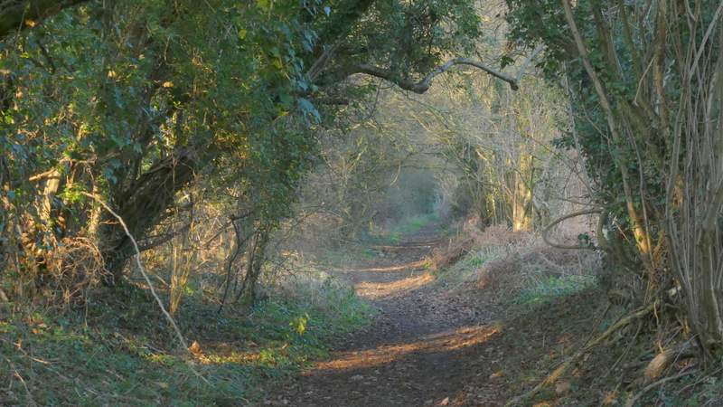
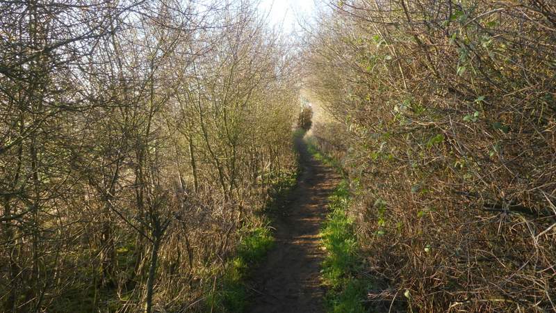
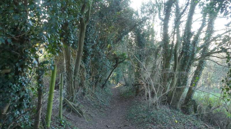
The path after I turned left from Bottom Lane
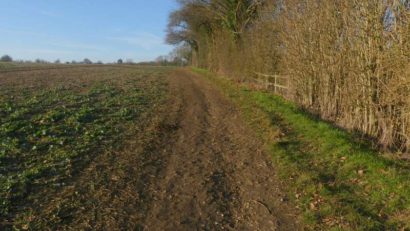
The path after I turned left from Bottom Lane
The path after I turned left from Bottom Lane
The path after I turned left from Bottom Lane
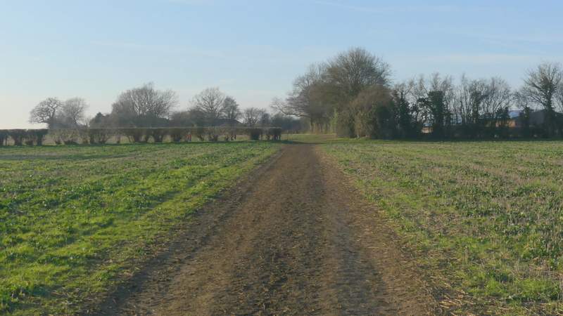
The path continuing across a paddock near Dungrove Farm
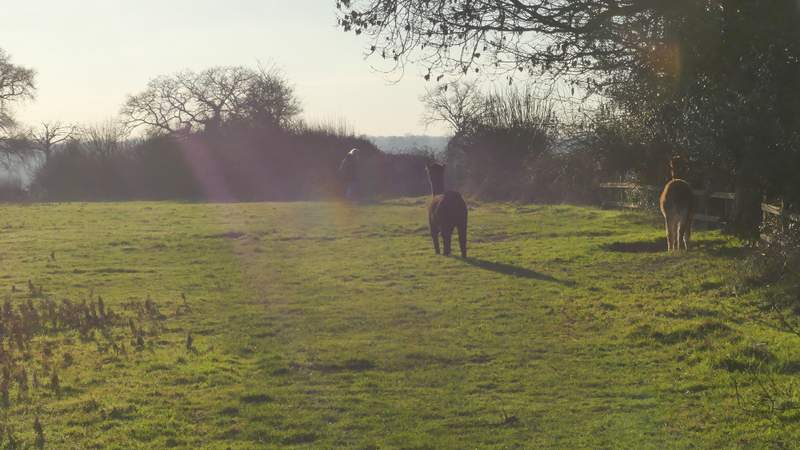
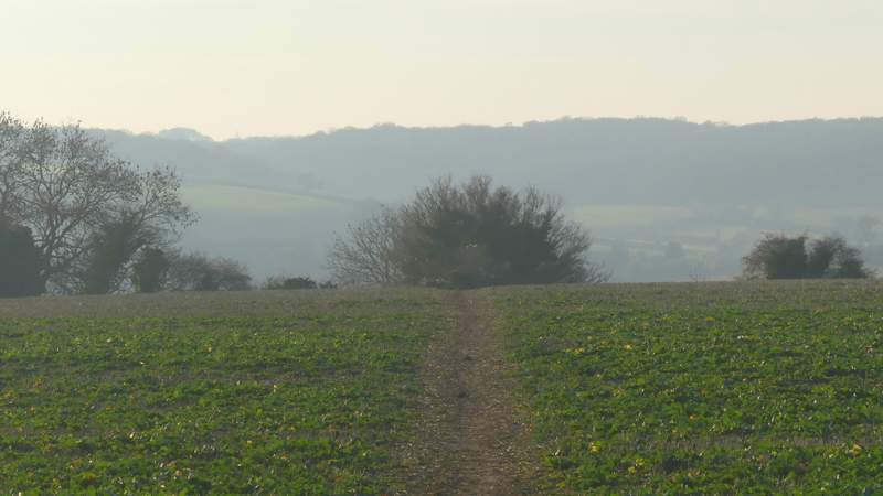
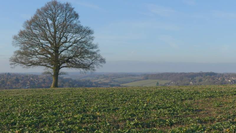
On the other side of the paddock I turned right along a path between hedges either side, but soon came to another junction where I turned left and followed the right edge of a field containing three Alpacas (I see these animals quite often on my walks but don't often get to walk through a field with them in, though I remember doing so here once before). I ignored the first path going right, then took a second path going right across another field. The ground ahead dropped away from view, masking most of Chesham in the valley below and giving nice views to the hills and valleys on the far side of the town. Beyond this field the path continued downhill between trees, turning sharply left and then sharply right to reach a footbridge over a railway line. Across this bridge, I turned right along a paved path running parallel to the railway line, which soon brought me to Chesham Station, with the car park where I'd started just a few yards further on.
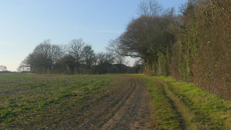
The path after I turned right near Dungrove Farm
The path after I turned left near Dungrove Farm
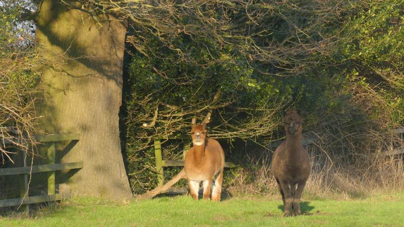
Alpacas
The path after I turned left (the second turning on the left)
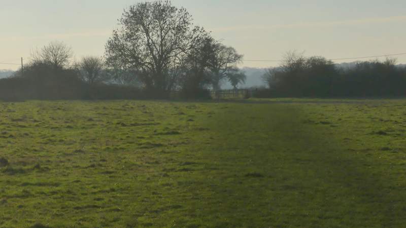
View across Chesham. hidden in the valley
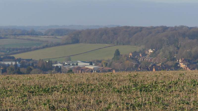
Zoomed in shot towards part of Chesham
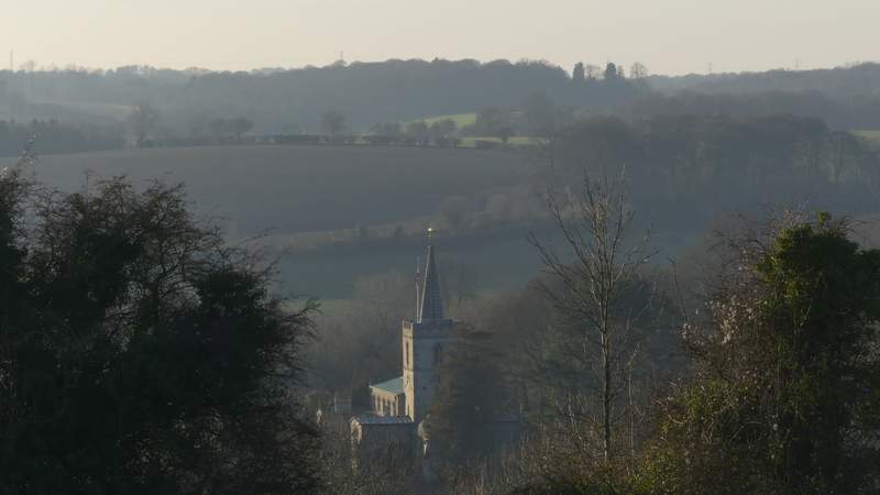
Chesham church
The path dropping downhill to the footbridge over the railway line
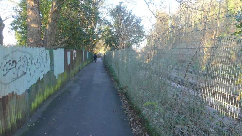
The path beside the railway after I turned right
It's been a while since I've done this walk, and I really enjoyed it today. My enjoyment was certainly helped by the very sunny conditions, it seems ages since I walked in anything other than grey and gloomy weather! It was frosty when I set off, and remained cold all day, but I was comfortable in my warm winter clothing and the low temperatures weren't a problem at all. Most of the route I use on other walks, the main exception being the section from Chesham Vale to Botley and for some reason I never seem to remember that bit very well, although it's easy enough to follow. There were some nice views, especially near the start and near the end of the walk, and several ups and downs, but there was less woodland walking than on most of the routes I walk.