Pete's Walks - Cholesbury and Ashley Green (page 5 of 6)
If you are considering walking this route yourself, please see my disclaimer. You may also like to see these notes about the maps and GPX files.
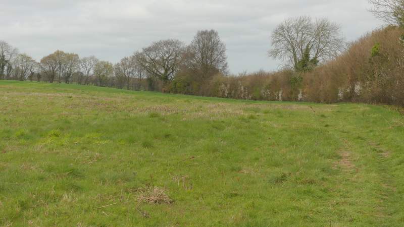
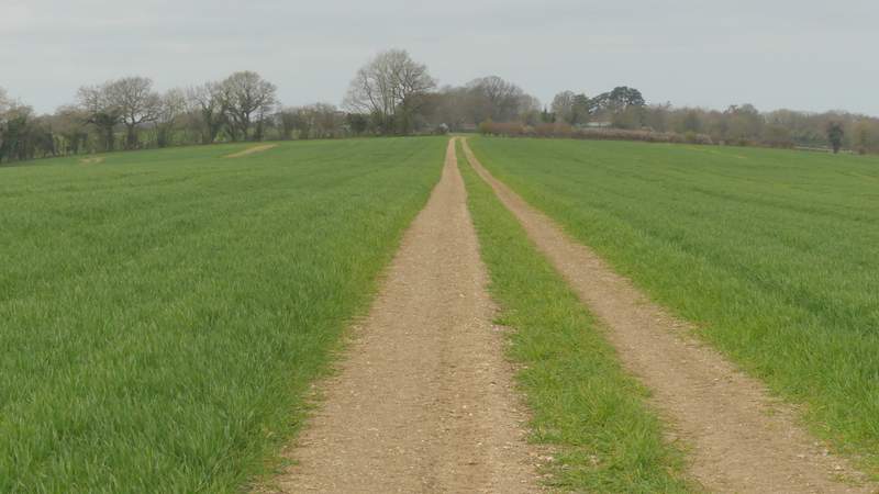
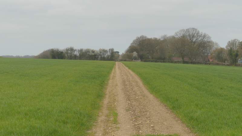
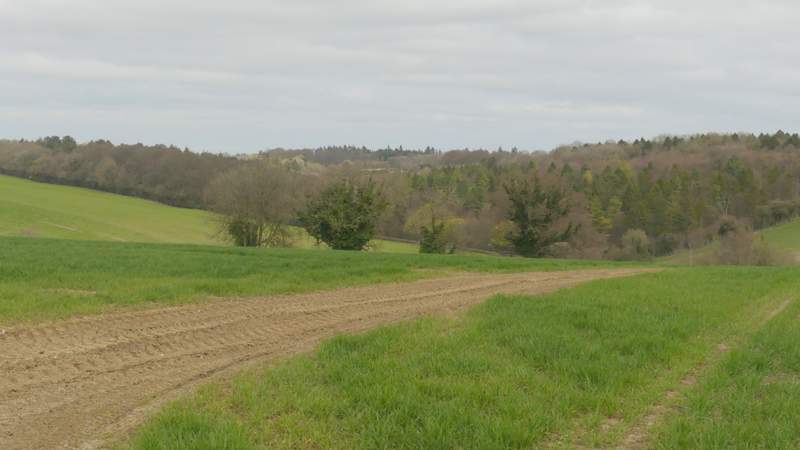
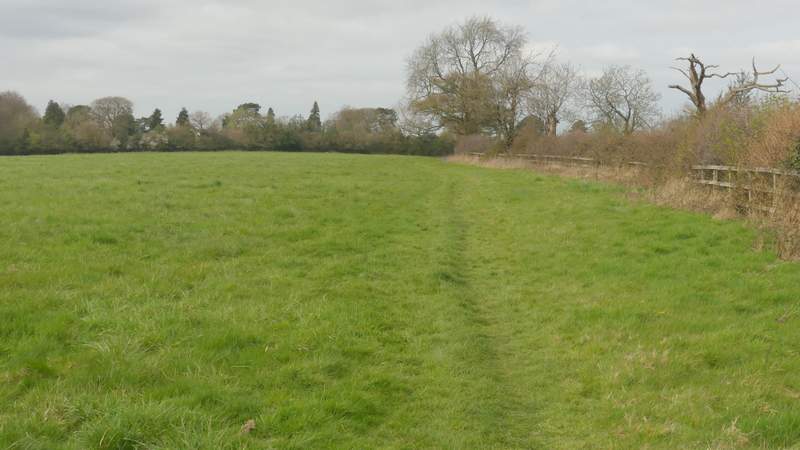
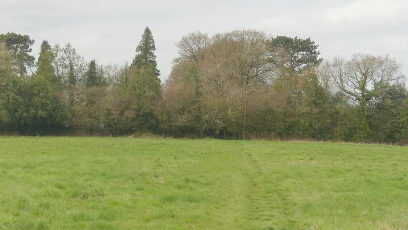
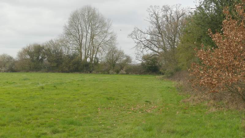
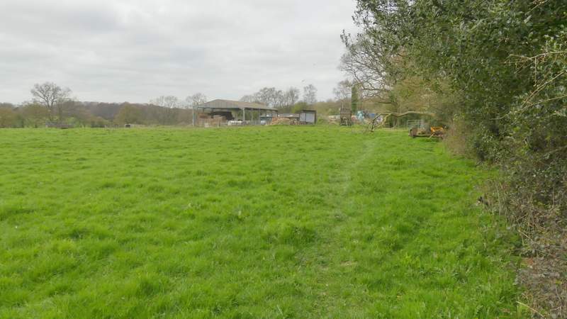
I turned left along the road, but after one or two hundred yards I took a footpath on the right, which took me past Bower Farm (on my left). At the end of a narrow meadow, I took a path leaving the right corner, immediately coming to a path junction where I turned right. This path followed a hedge on my right, going uphill. The gradient soon eased, and after a few hundred yards the path turned left in a field corner, then after a short distance turned right to resume its previous northwesterly course. I was now on a clear farm track crossing a large arable field, running along the middle of a typical Chiltern ridge with valleys on both sides. The path continued across a second large arable field, and then continued through a meadow, staying close to the hedge on my right. About two-thirds of the way through the next meadow I took a short diversion along a path going right, just to get a photo of Hawridge Church.
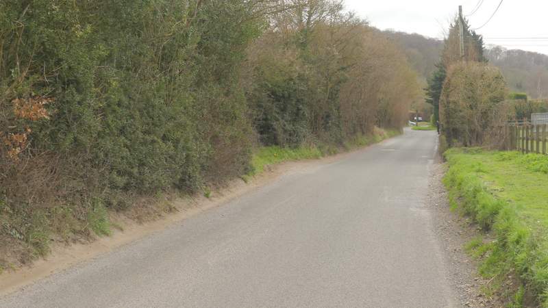
The road through Chesham Vale
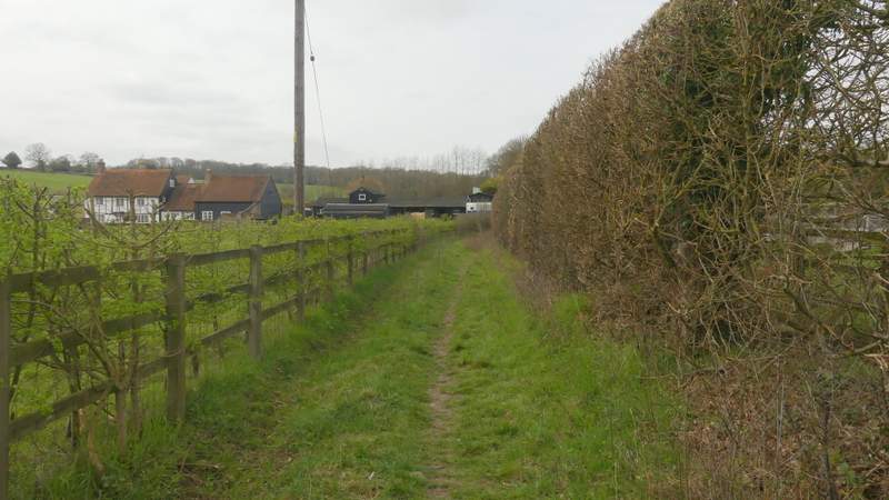
The start of the path past Bower Farm
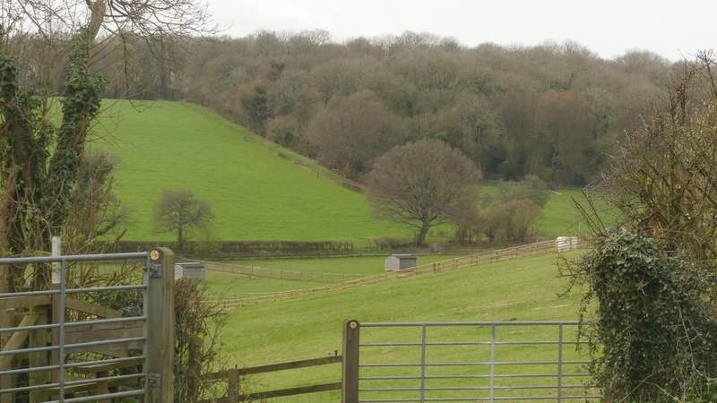
View towards Ramscoat Wood
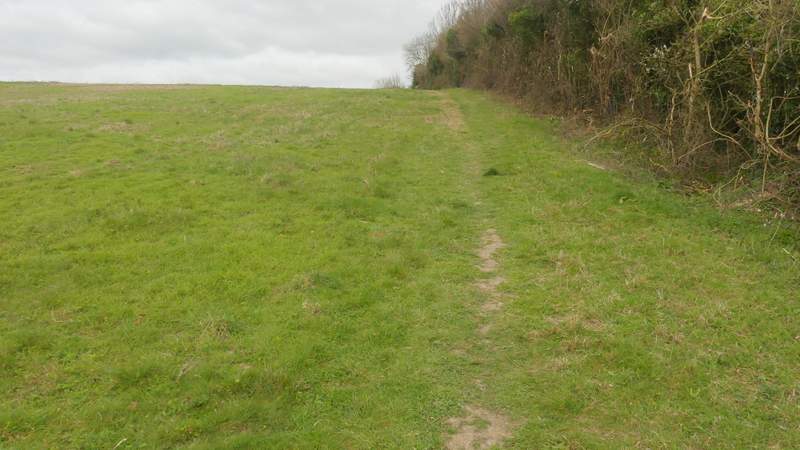
The start of the path to Hawridge, after I turned right
The path to Hawridge
The path to Hawridge
The path to Hawridge
View from the path to Hawridge
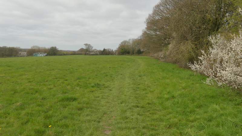
The path to Hawridge
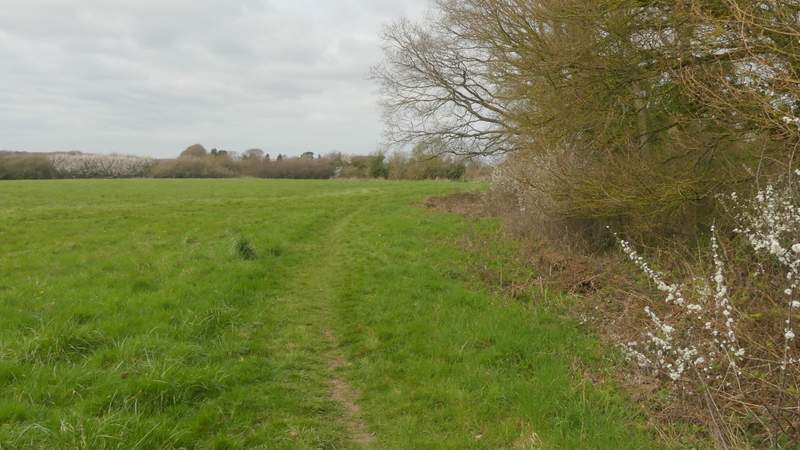
The path to Hawridge
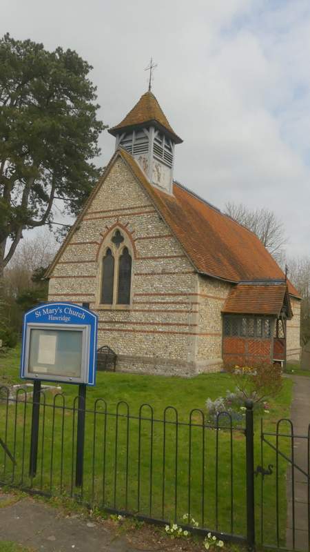
Hawridge church
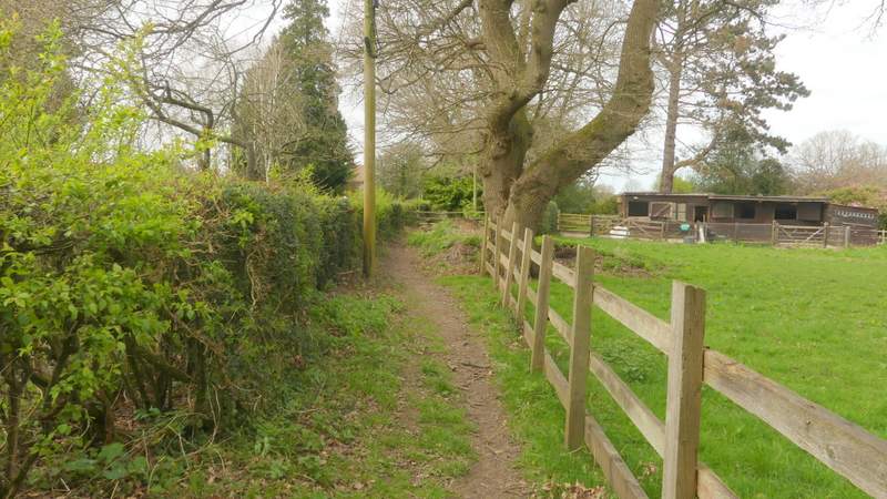
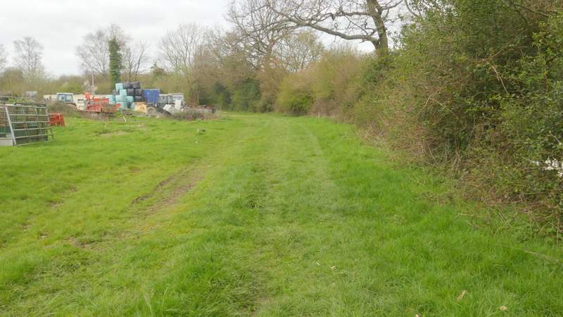
Returning to the path, I soon reached the end of the meadow. The path went straight on across the next field, now with the right-hand boundary a few yards away from me. The path then continued straight on, running between a hedge and a fence and going over a couple of stiles in quick succession at one point. It followed a hedge on my right through a couple of small meadows, then passed a rather untidy farmyard on my left to reach a gate.
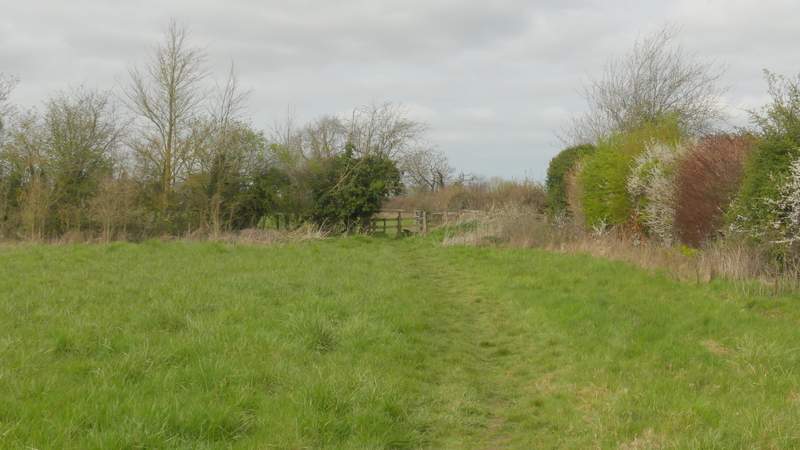
The path to Hawridge
The path to Hawridge
The path to Hawridge
The path to Hawridge
The path to Hawridge
The path to Hawridge
The path to Hawridge