Pete's Walks - Maidensgrove, Ibstone, Middle Assendon (page 6 of 7)
If you are considering walking this route yourself, please see my disclaimer. You may also like to see these notes about the maps and GPX files.
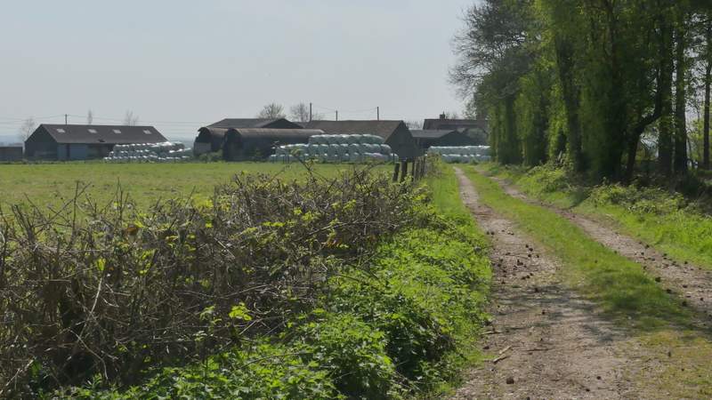
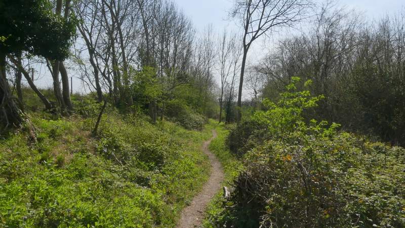
I turned left along the road. Not long after passing a junction where a lane went right to Maidensgrove, I took a bridleway on the left (if necessary, I could have shortened the walk by going a few yards further along the road and taking a path on the right that would have taken me to Lodge Farm at the end of the lane through Maidensgrove). The bridleway passed between gardens then rose uphill through Almshill Wood, following the fence around the deer park on my left. I always find this bridleway a bit of a struggle (checking the contours on an OS map, I think it has an average gradient of about 1 in 5, for about a third of a mile), but I eventually managed to plod my way to the top (the gradient eases after the bridleway turns right).
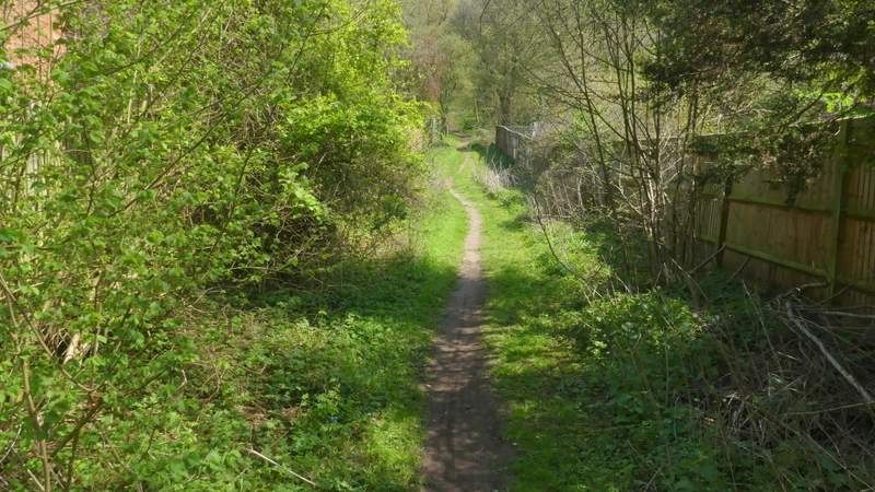
The start of the bridleway from Stonor, up through Almshill Wood
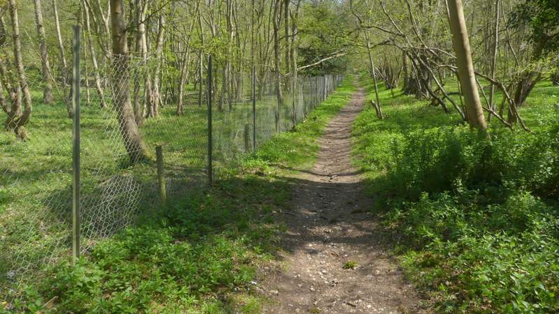
The bridleway from Stonor, up through Almshill Wood
The start of the bridleway from Stonor, up through Almshill Wood
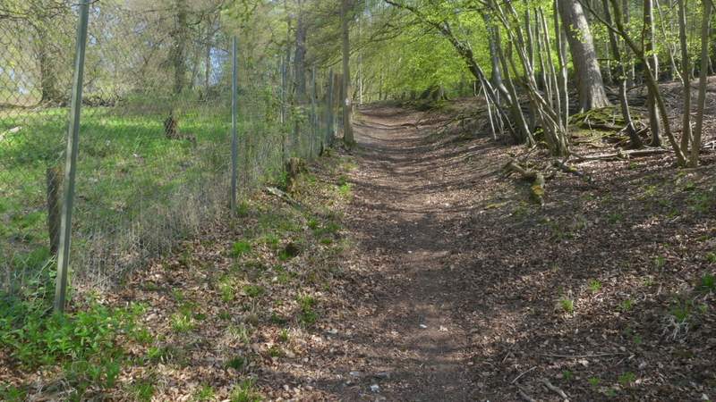
The start of the bridleway from Stonor, up through Almshill Wood
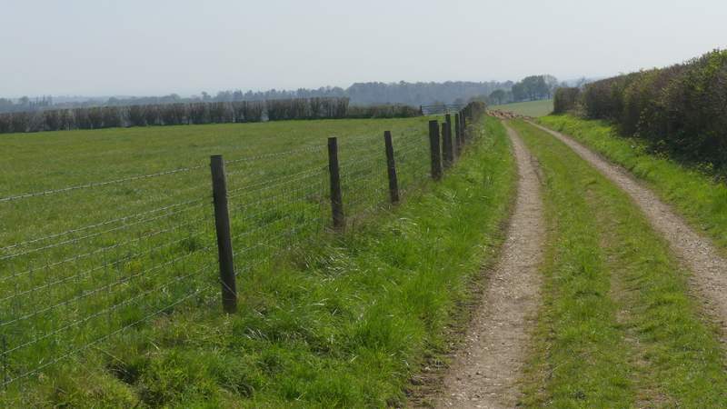
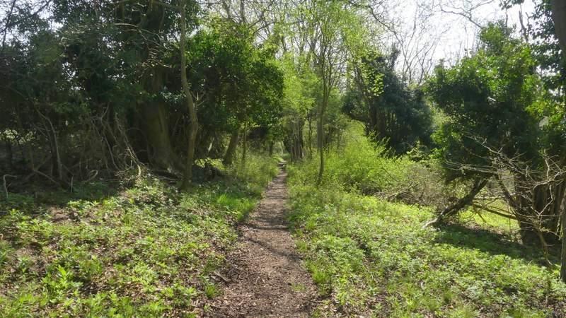
At the top of the slope I reached a bridleway T-junction at the edge of the wood, where I turned right along a track that soon brought me to Coxlease Farm. I walked through the farmyard and went through a gate, turning right along a track and immediately going through another gate. This track soon turned left and ran along close to the top of a hillside that sloped down into the Stonor valley on my right. This is another of my favourite paths, but I didn't enjoy it quite as much as usual today because the hazy conditions meant the fine views along the valley were not at their best.
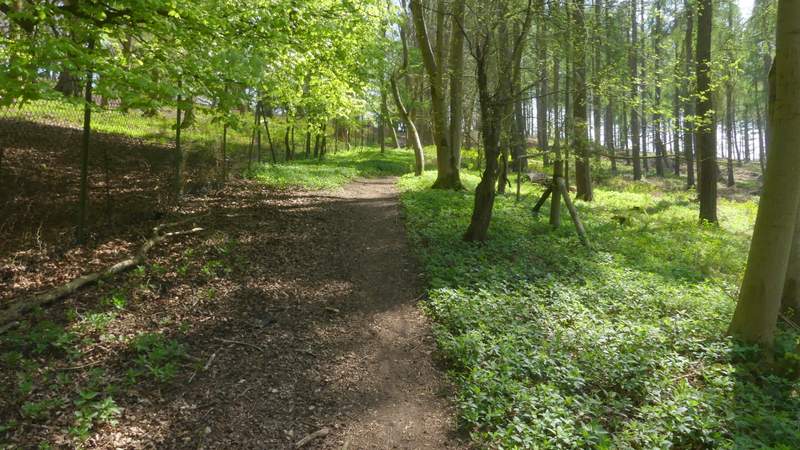
The bridleway to Coxlease Farm
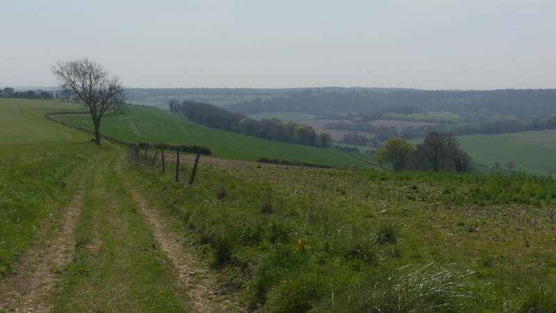
The path from Coxlease Farm to Middle Assendon
The path from Coxlease Farm to Middle Assendon
The path from Coxlease Farm to Middle Assendon
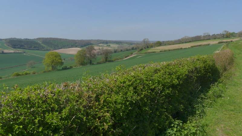
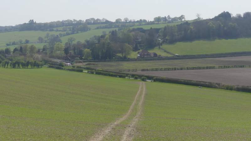
Looking back along the Stonor Valley, from the path to Middle Assendon
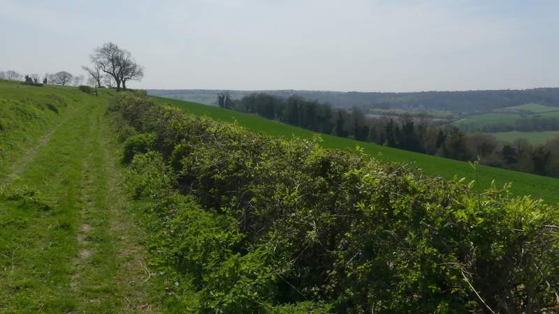
The path from Coxlease Farm to Middle Assendon
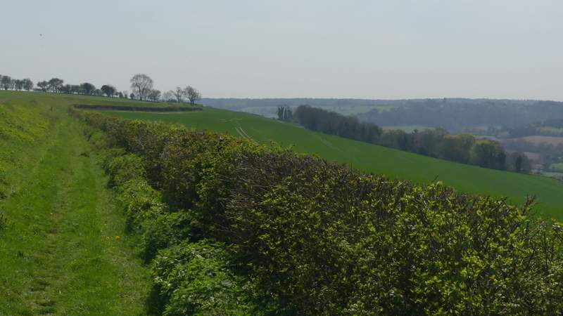
About a mile from Coxlease Farm, the path stayed with a hedge on my right as it turned right, soon bringing me to a stile that took me into Paradise Wood. Here the path turned left, running through the wood but staying close to its eastern edge on my left. After about a third of a mile the path left the wood, and went slightly right as it descended across an arable field to a gate and the road through the Stonor valley, near Middle Assendon (to the left).
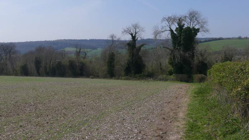
Approaching Paradise Wood
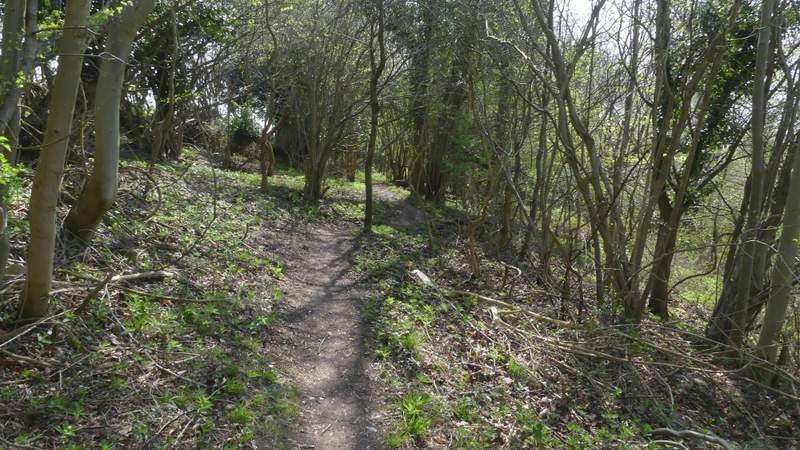
Paradise Wood
Paradise Wood
Paradise Wood
The path continuing downhill from Paradise Wood to the road near Middle Assendon