Pete's Walks - Maidensgrove, Ibstone, Middle Assendon (page 7 of 7)
If you are considering walking this route yourself, please see my disclaimer. You may also like to see these notes about the maps and GPX files.
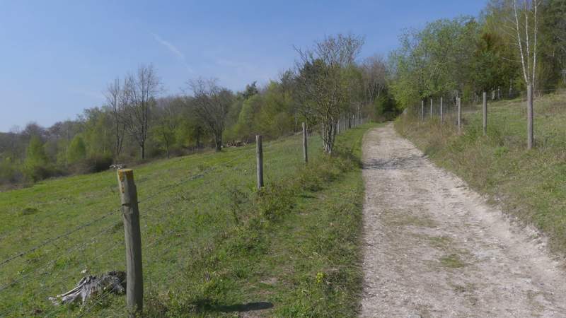
I turned right along the road, heading away from Middle Assendon. This was the least pleasant part of the route, but there were few cars on the road. After about a quarter of a mile I took a byway (Warmscombe Lane) on the left, but after a few yards forked left from it along a footpath that followed a farm track along the left edge of a field. This was uphill, but not very steep at all. Where the hedge on my left turned left, the track went straight on and levelled out. Near where the track rejoined a hedge, the footpath left the track, turning right across a grassy area to a stile in another hedgerow. Over the stile, the path turned left beside the hedge and followed it downhill to reach the lane through the valley of Bix Bottom. I turned right along the lane, passing Valley End Farm on the left after about 400 yards, and then passing the remains of the old church of St James after another 300 yards or so (again on the left).
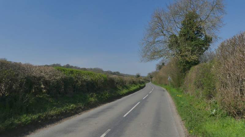
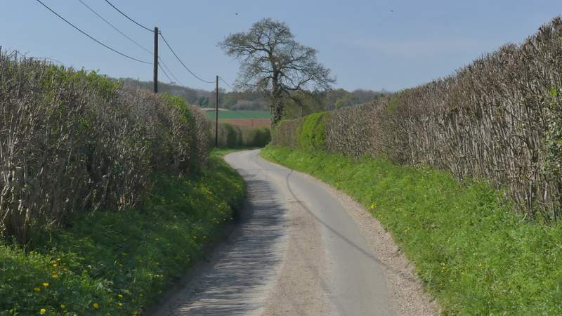
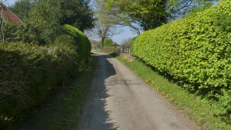
The road from Middle Assendon, after I turned right
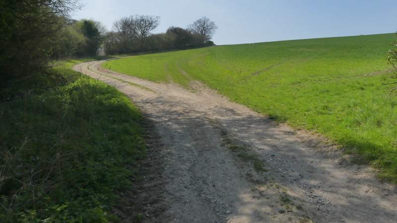
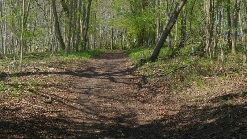
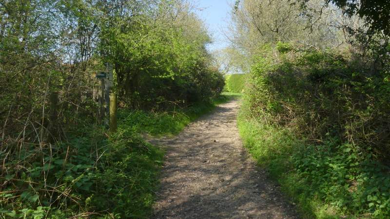
The path forking left from the byway called Warmscombe Lane
The path forking left from the byway called Warmscombe Lane
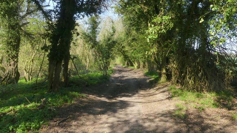
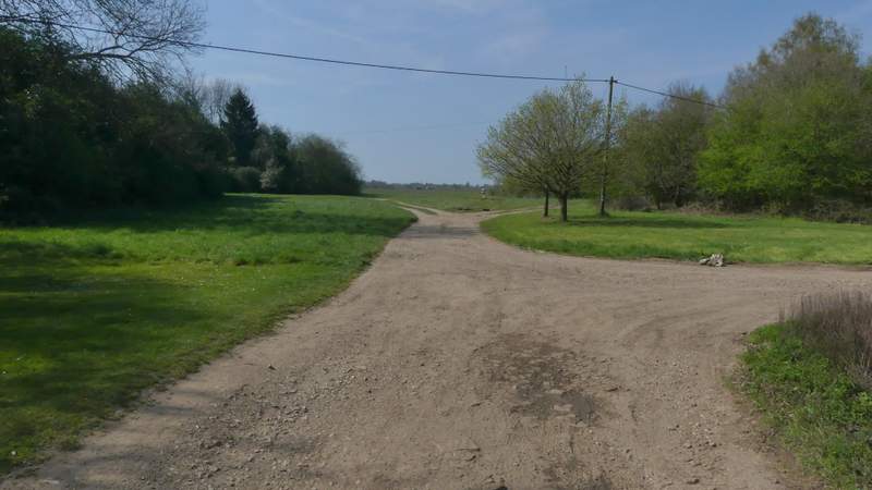
Approaching the lane in Bix Bottom
The lane in Bix Bottom
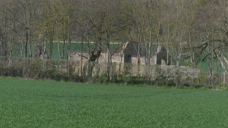
The remains of the old church of St James, Bix Bottom
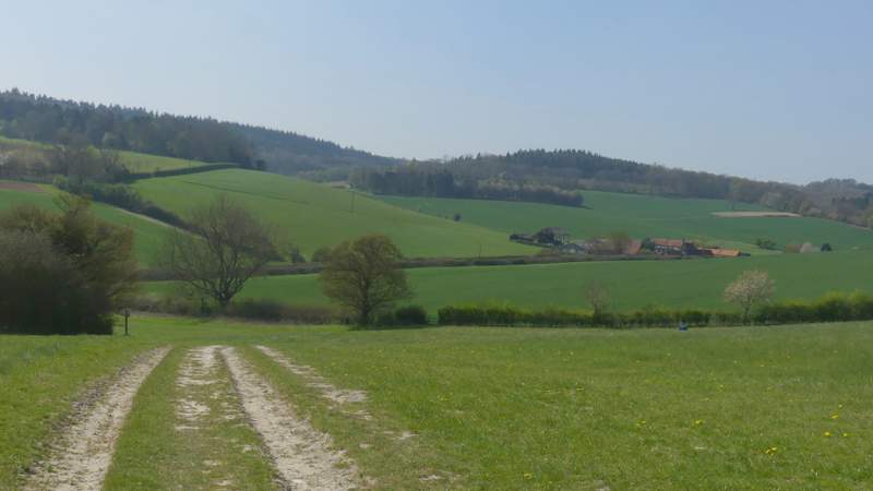
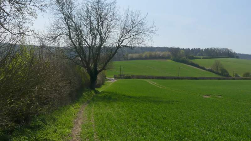
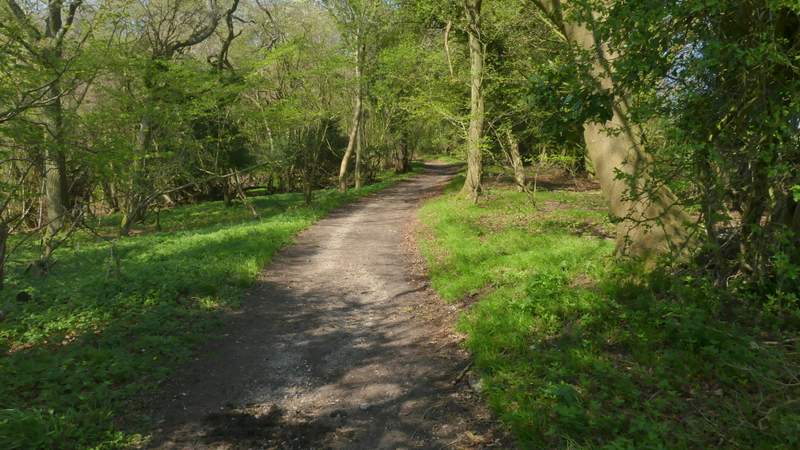
I then turned right onto a bridleway, following a hedge-lined track which quickly turned left and gradually rose uphill at an angle to reach Freedom Wood. It continued steadily uphill through the wood a short way, then there was an open area where I had a view out over the wooded Warburg nature reserve on my left. It re-entered the wood for maybe another two to three hundred yards, then the bridleway merged with Warmscombe Lane that came in sharply from the right (I could have shortened the walk slightly by following this byway all the way from the road in the Stonor Valley). It was now more or less flat as I continued for another third of a mile, with the woods of the nature reserve sloping down on my left and fields just to my right. On eventually reaching a lane in Maidensgrove (with Lodge Farm just to my right), I turned left and followed the lane a short way until it turned right. Here I went left along a track, with one or two properties either side, to reach Maidensgrove Common. I followed the left edge of the common as far as the bend in the lane that crosses the common, where I turned right to return to my parked car.
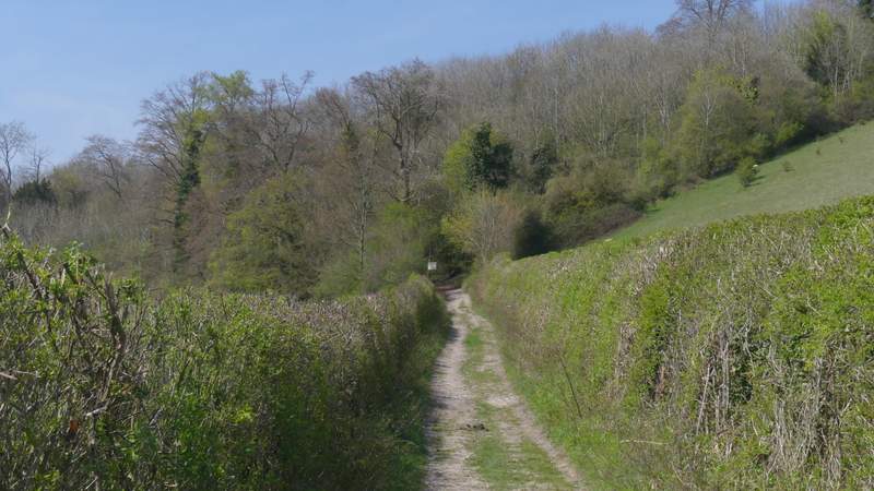
The bridleway from Bix Bottom to Maidensgrove, approaching Freedom Wood
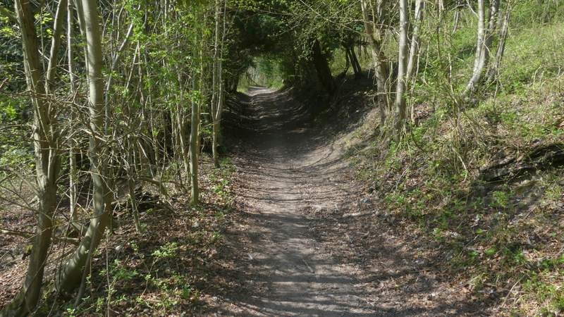
The bridleway from Bix Bottom to Maidensgrove, in Freedom Wood
The bridleway from Bix Bottom to Maidensgrove, passing the Warburg nature reserve
The bridleway from Bix Bottom to Maidensgrove
The bridleway from Bix Bottom to Maidensgrove
The bridleway from Bix Bottom to Maidensgrove
Approaching Maidensgrove
The lane through Maidensgrove
The drive or track leading to Maidensgrove Common
It had been a lovely Spring day, so good it was hard to believe it was a Bank Holiday. It was just a shame that it was a bit hazy, so the views weren't as good as they could have been. The route still lived up to my expectations, I still think it's the best walking route I've done in the Chilterns. I must admit I did feel very tired at the end, so I may possibly do a shorter version of the route sometime by going straight from Stonor back to Maidensgrove (taking the footpath on the right I mentioned earlier that leads to Lodge Farm).