Pete's Walks - Bix Bottom and Rotherfield Peppard (page 4 of 7)
If you are considering walking this route yourself, please see my disclaimer. You may also like to see these notes about the maps and GPX files.
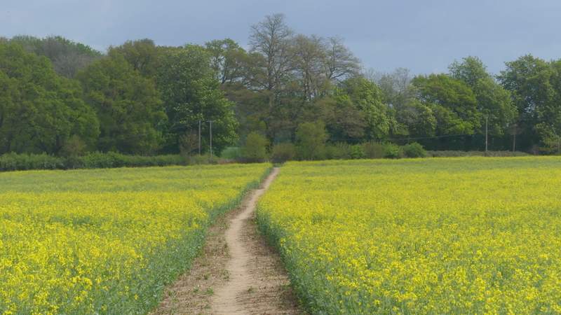
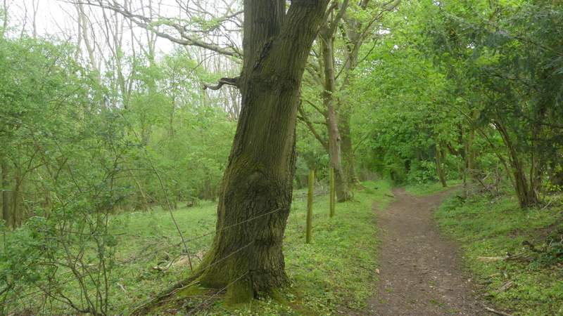
I went straight on, Dog Lane now being surfaced and with views over the hedge on my right. I went straight on where one footpath went right, but then immediately after passing a house on the right I turned right onto a second path. After just a few yards this forked, and I took the left fork that crossed a small enclosure (the right fork continued along its right edge), and then continued across a large field of ripening oil-seed rape. On reaching the far side of the field, I crossed a a minor road and continued eastwards along a bridleway name Pack and Prime Lane (apparently this is an ancient highway used to cut off the large bend of the Thames around Reading - its name comes from the fact that in the days of Highwaymen the Oxford to London coach would stop nearby and 'pack and prime' the guns as highway robbery was so frequent in the area). For over half a mile Pack and Prime Lane ran through Packam Wood, and soon the trees on my left were dropping steeply downhill into a valley (I'd be walking back along the valley shortly). Like all the woods today, this was a very pleasant section of the route and as well as the usual Bluebells and Greater Stitchwort I saw quite a lot of Yellow Archangel here.
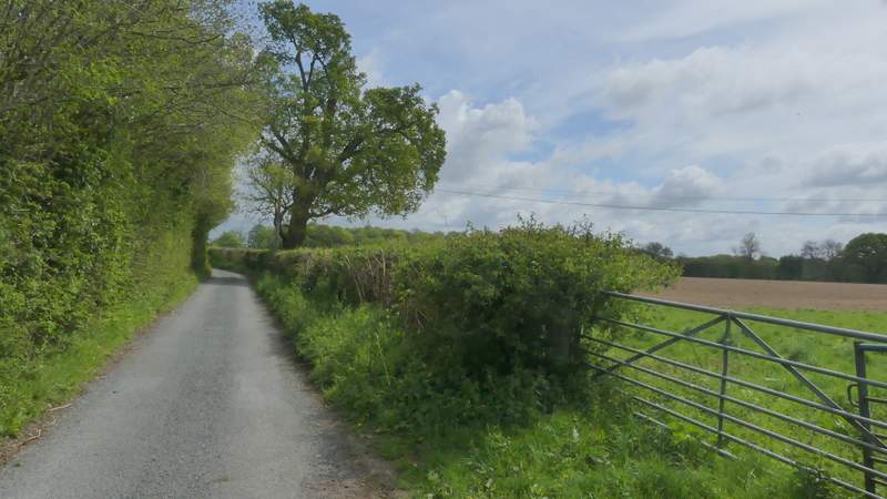
Dog Lane
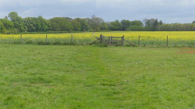
The path after I forked right from Dog Lane (and immediately took the leftmost of two paths)
The path from Dog Lane
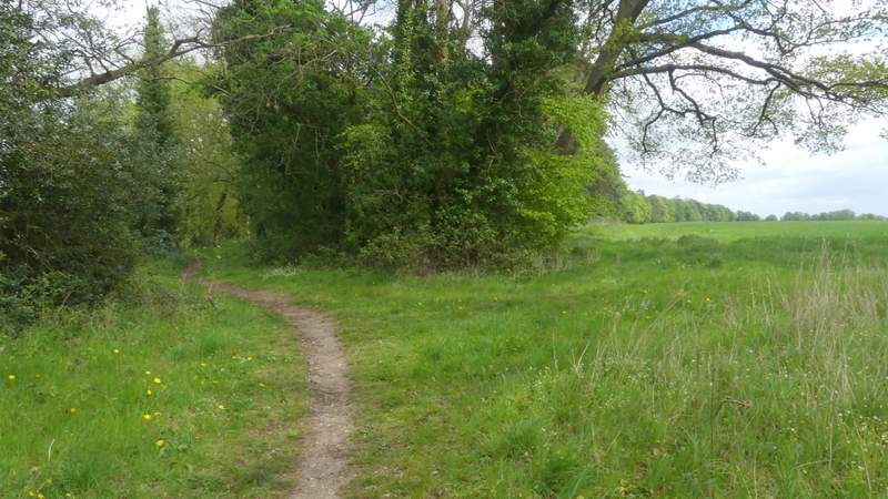
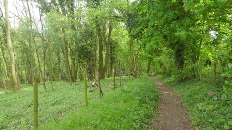
The start of Pack and Prime Lane
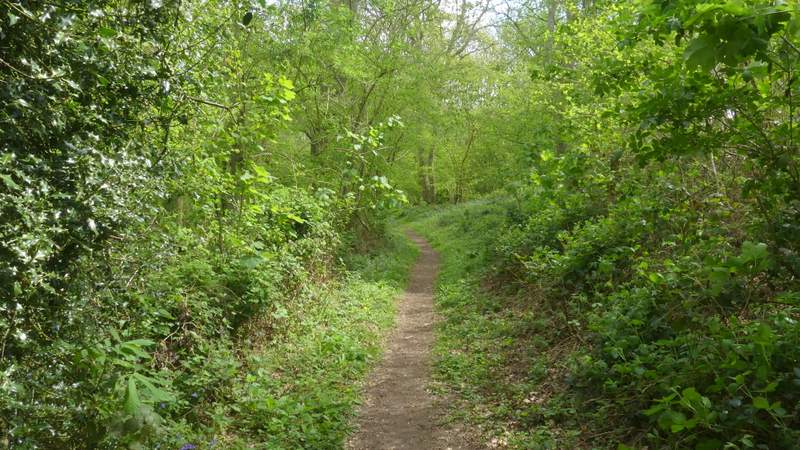
Pack and Prime Lane
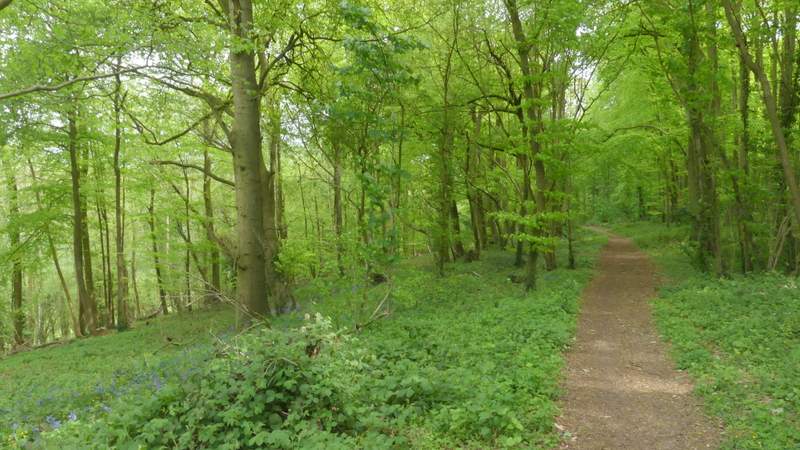
Pack and Prime Lane
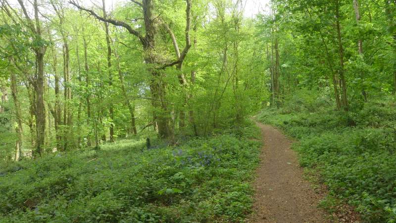
Pack and Prime Lane
Pack and Prime Lane
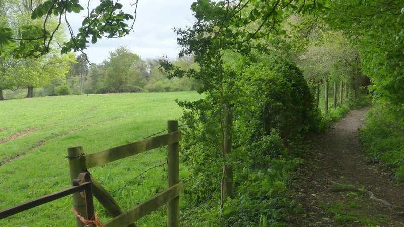
I crossed a track or drive as Pack and Prime Lane left Packem Wood, and there were a couple of nice views across the valley on the left before the bridleway entered a bit more woodland (or a tree belt, at least). After a quarter of a mile or so I was confused by a junction where a footpath went right, as this was not shown on my OS map - but I could see the bridleway continuing ahead was dropping downhill which was what I was expecting, so carried on and at the bottom of the slope came to the crossing footpath the OS map shows. I turned left here, but first stopped to sit on a broken stile to eat my packed lunch. The path now headed back along the bottom of the valley that had been on my left as I'd followed Pack and Prime Lane. It ran between fences with intermittent bits of hedges, and after a few hundred yards the slope on my left was clearly more park land, being dotted with mature ornamental trees.
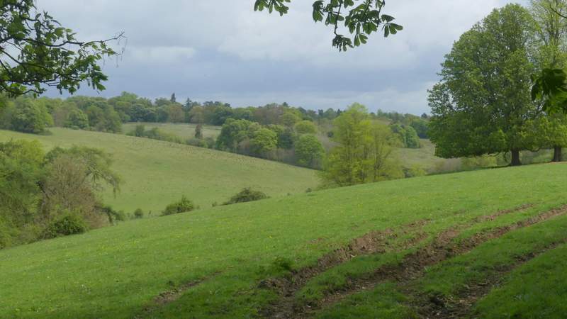
View left from Pack and Prime Lane
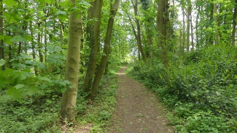
Pack and Prime Lane
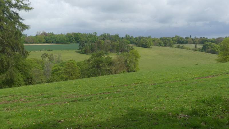
View left from Pack and Prime Lane
Pack and Prime Lane
Pack and Prime Lane
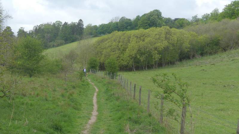
The path along the valley, after I turned left from Pack and Prime Lane
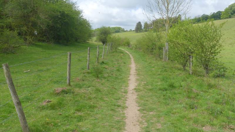
The path along the valley, after I turned left from Pack and Prime Lane
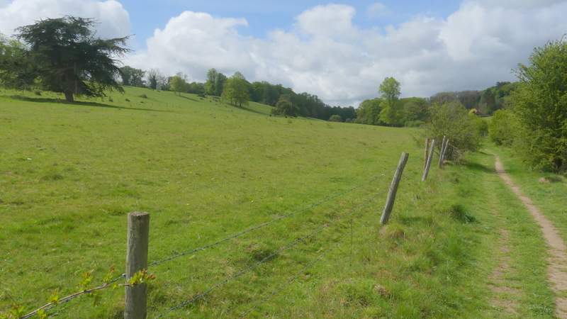
The path along the valley, after I turned left from Pack and Prime Lane