Pete's Walks - Bix Bottom and Rotherfield Peppard (page 5 of 7)
If you are considering walking this route yourself, please see my disclaimer. You may also like to see these notes about the maps and GPX files.
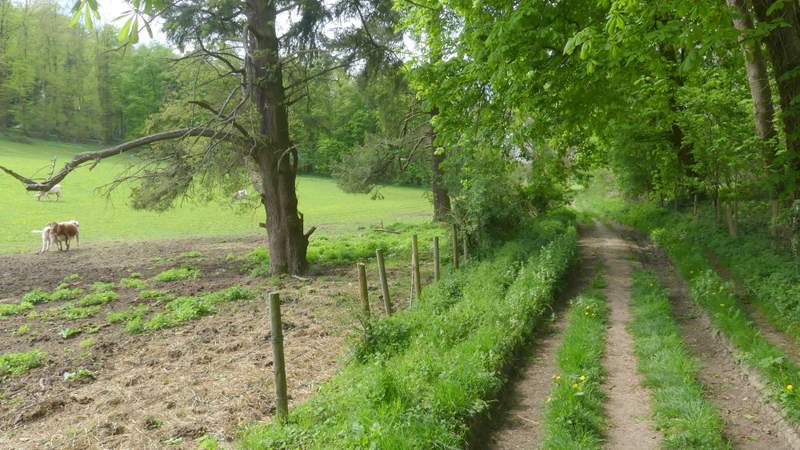
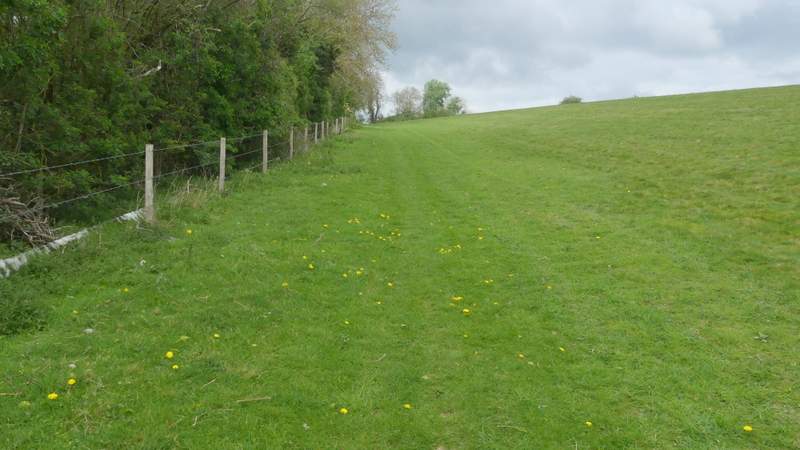
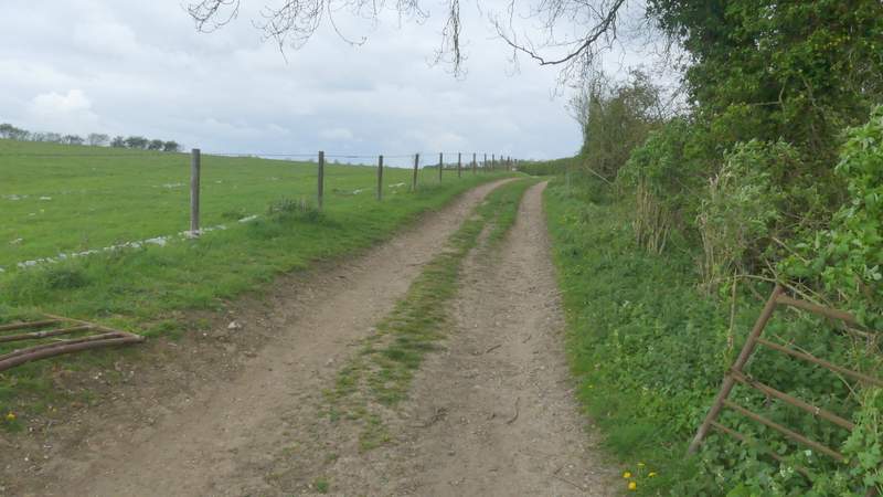
Eventually I came to a stile, over which the path continued between a small area of trees that connected two large cattle pastures - the cattle, currently in the pasture to the left, were evidently free to wander through the trees from one pasture another. After about a hundred yards through the trees, the path went over another stile and continued along a track, initially with the same pasture on the left and a wood on the right. I had an unusual wildlife sighting here - I saw a Great Spotted Woodpecker fly up from the ground into a tree, and simultaneously a Green Woodpecker flew off from almost the same spot! Further on the path continued along the valley bottom through a large meadow, following several unusual ruts in the grass. In the corner of this meadow, the path went over a stile, switching to the right of a hedgerow, and continued along the valley through a large meadow that sloped uphill on my right - there were numerous Cowslips mixed in with the Dandelions in this field. On reaching a fence, I turned right and headed uphill with the fence on my left, passing a narrow strip of trees and bushes partway up the slope (where I saw a Holly Blue butterfly). Near the top of the slope I reached the corner of the meadow or pasture and joined a farm track that headed slightly right, following a hedge on my right. After a few hundred yards the track became a surfaced drive, and after another three or four hundred yards I came to a minor road.
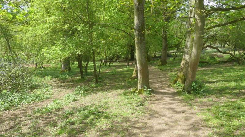
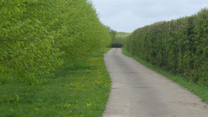
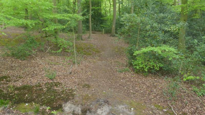
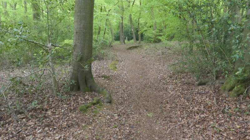
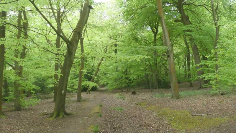
The path along the valley, after I turned left from Pack and Prime Lane (these are the trees separating the cattle pastures)
The path along the valley, after I turned left from Pack and Prime Lane
The path along the valley, after I turned left from Pack and Prime Lane
The path along the valley, after I turned left from Pack and Prime Lane
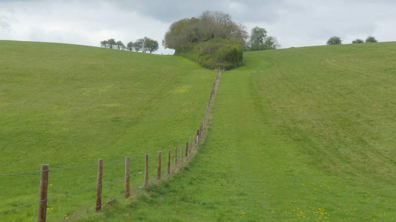
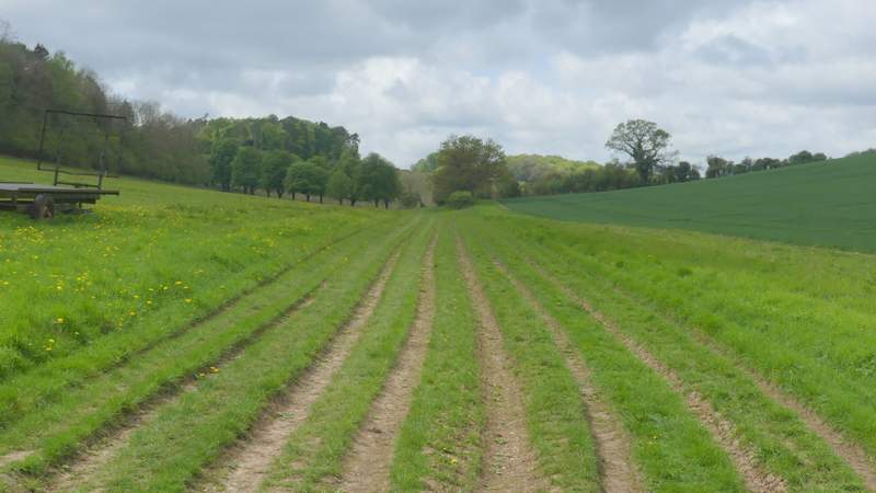
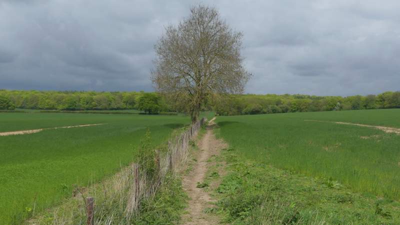
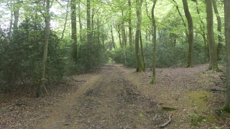
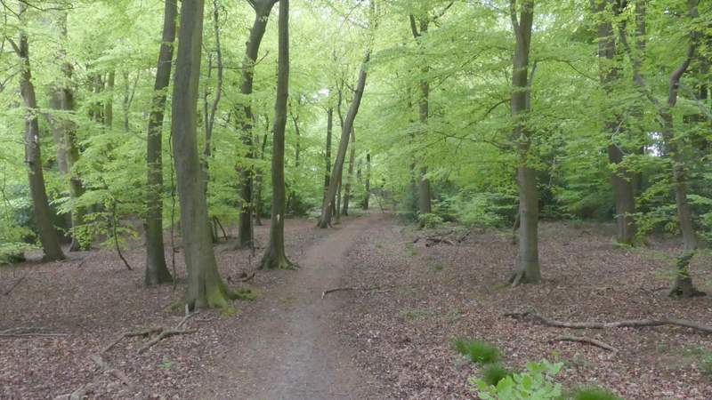
The path after I turned right, heading north
The path after I turned right, heading north
The path after I turned right, heading north
The path after I turned right, heading north
The path after I turned right, heading north
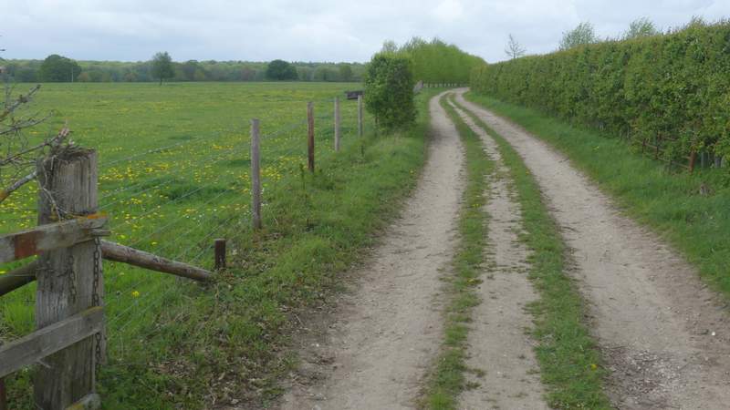
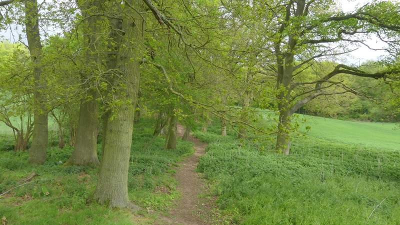
I went a short way right along the road, then crossed over and took a path on the other side that followed the left edge of an arable field (the OS map shows the path starting a little further along the road, and cutting across the field to the corner I was now heading to, but I presume it has been officially re-routed as there was a finger-post where I started along it). The path continued between two more arable field either side, then ran a short way through some oak trees to reach a stile into Lambridge Wood. I went straight on here to a waymark post (there were signs saying the paths had been re-instated along their original routes) and turned left. For a short while I was back on a path I'd walked a couple of times before, but when I turned left (or half-left) at a path crossroads in the wood I was again entering new territory. I had to follow this path southwest through Lambridge Wood for about half a mile, and it was just as delightful as the other Beech woods I went through today.
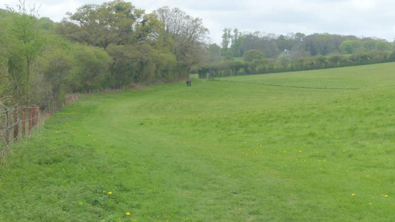
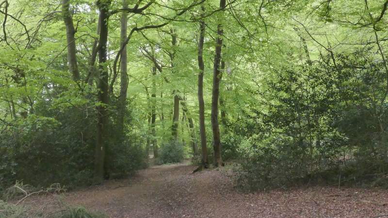
The path going north to Lambridge Wood after I crossed the road
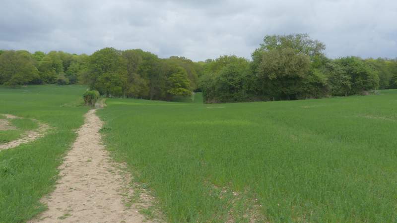
The path going north to Lambridge Wood
The path going north to Lambridge Wood
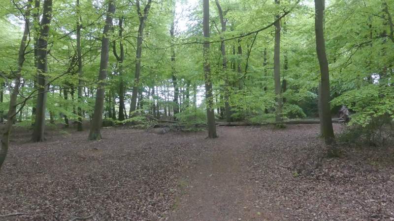
Lambridge Wood (I turned left at the waymark post near the centre of this photo)
Lambridge Wood
Lambridge Wood after I turned left at a path crossroads
Lambridge Wood
Lambridge Wood
Lambridge Wood
Lambridge Wood