Pete's Walks - Bix Bottom and Rotherfield Peppard (page 6 of 7)
If you are considering walking this route yourself, please see my disclaimer. You may also like to see these notes about the maps and GPX files.
Eventually I came to a lane, where a path continued on the other side. This soon came to a track where it went right and then after a few more yards the path forked right through a metal kissing-gate - I had to wait while a party of 20 or so walkers came through it. I was once more on a path I'd used a few times before as I crossed a meadow to reach Famous Copse (it's about a mile from Tartary, so I'm guessing the Flemings may have something to do with the name of this wood too). I went straight on through Famous Copse (I normally turn half-left just inside it), the path following the edge of the wood on my right after a short while. On reaching a path junction in a corner of the wood, I turned right, leaving the wood and following a hedge on my right through a small meadow. Over a stile in the corner I reached the drive to Lawrence Farm, where I turned left and followed the hedge-lined drive about a quarter of a mile to reach a lane. Here I turned left again, following the lane for 6-700 yards to reach the A4130 (there was a recently restored Water Tank on the left just before I reached the main road).
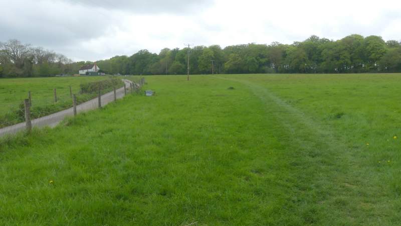
The path after I crossed the lane on leaving Lambridge Wood, heading to Famous Copse
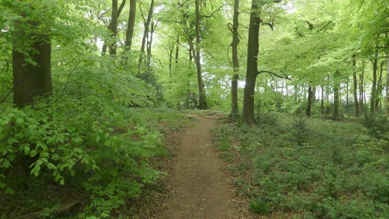
The path continuing through Famous Copse
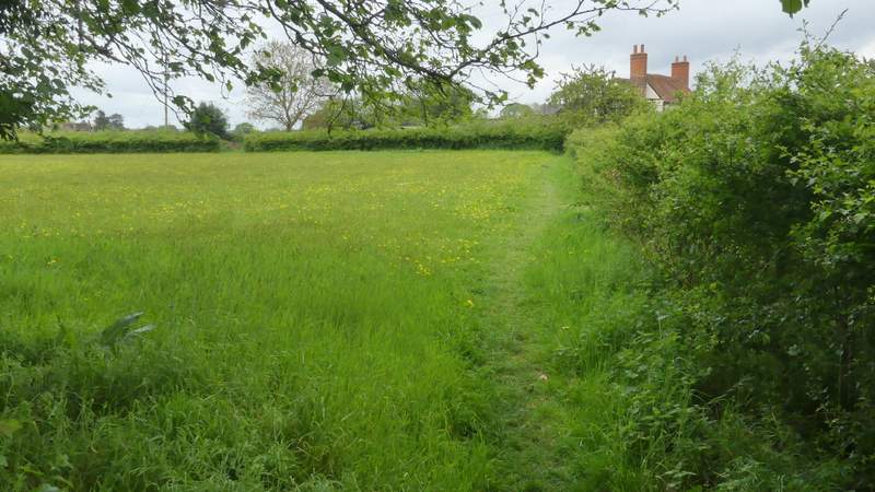
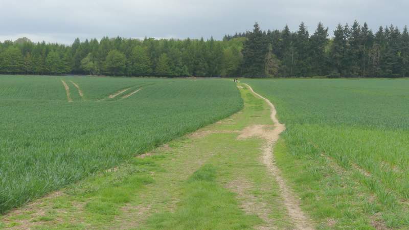
The path from Famous Copse to Lawrence Farm
The continuing along the drive from Lawrence Farm
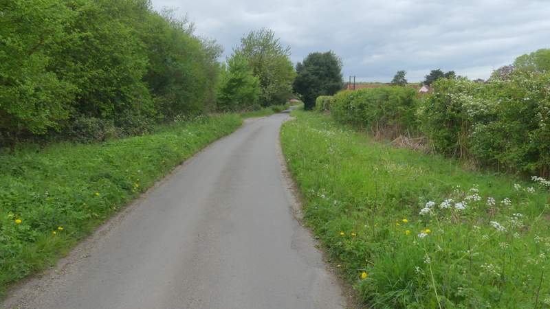
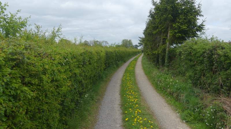
The lane into Bix
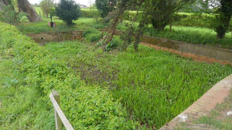
Water Tank at Bix (dating from about 1890-1900, amongst other purposes it was once used by Steam engines, after a steep hill on the road from Henley)
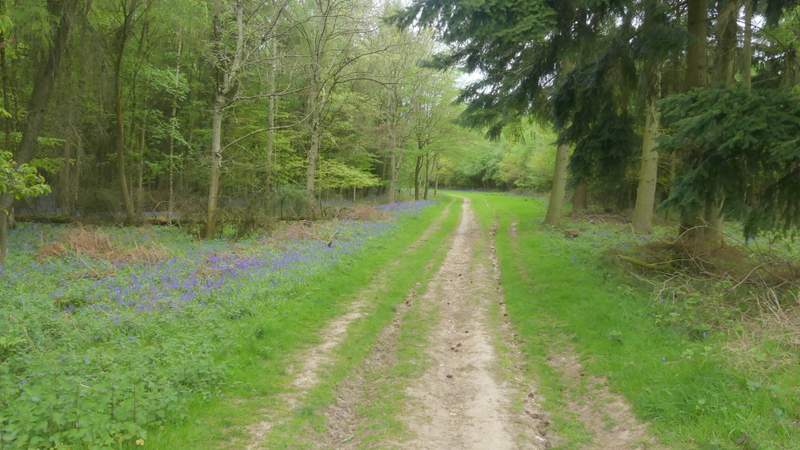
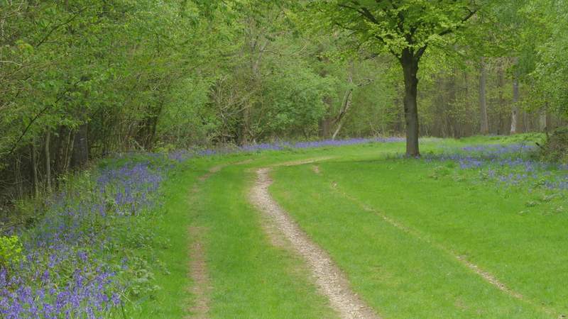
I crossed the road and walked a few yards straight on into Bix, soon reaching the church of St James (the replacement for the old church where I'd started my walk). I took a path just to the right of the churchyard that followed the edge of a common (another path starting at the same point went further right, diagonally across the common). On reaching a lane on the far side I went left, then when the lane turned left I went straight on along a bridleway. Soon this was crossing a huge arable field, in the middle of which I crossed a footpath (I could have turned right here to follow my usual route back to Bix Bottom). On the far side of the huge field the bridleway continued along a track through Bix Underwood. One reason I was walking this bridleway and following it in this direction was that I once tried to walk it in the opposite direction (12 or years ago, when doing some exploratory walks for my Chiltern Chain Walk) and got a bit lost - my OS map shows the bridleway going through the wood a little south of a track, but it seems the bridleway just follows the track (I met other walkers and cyclists coming the other way, and there were plenty of horse-shoe prints in the track). This wood had bluebells in most of it, and just after a track crossroads there was a particularly fine carpet of them on my left.
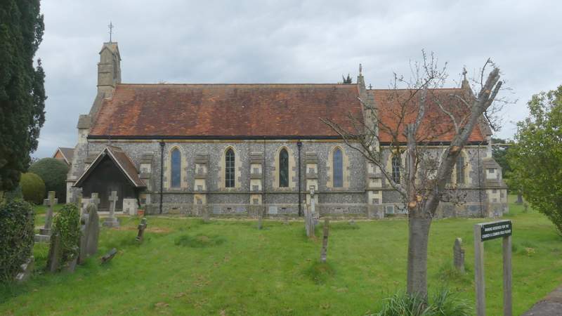
The new church of St James, Bix, which replaced the ruined one where I started this walk
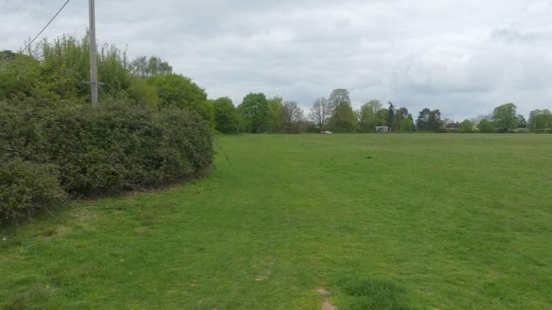
The path across the common at Bix
The bridleway from Bix to Bix Underwood
The bridleway continuing through Bix Underwood
The bridleway continuing through Bix Underwood
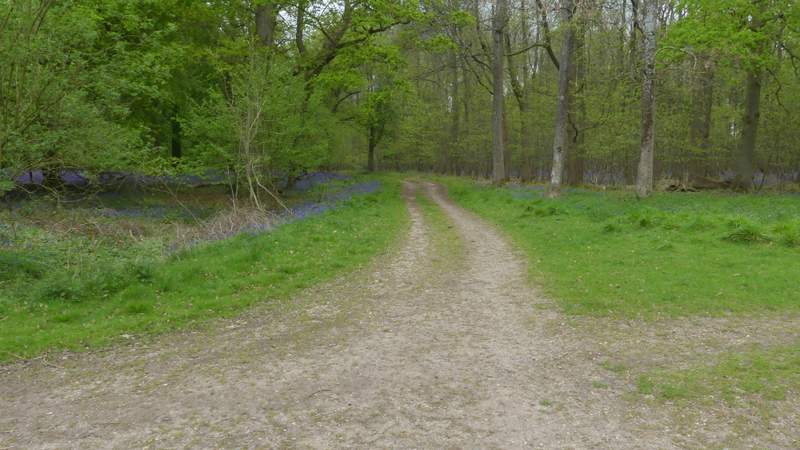
The bridleway continuing through Bix Underwood
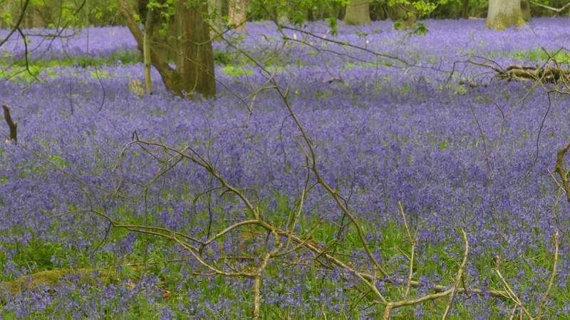
Bluebells in Bix Underwood (I saw them almost everywhere today, but this was by far the most impressive display)
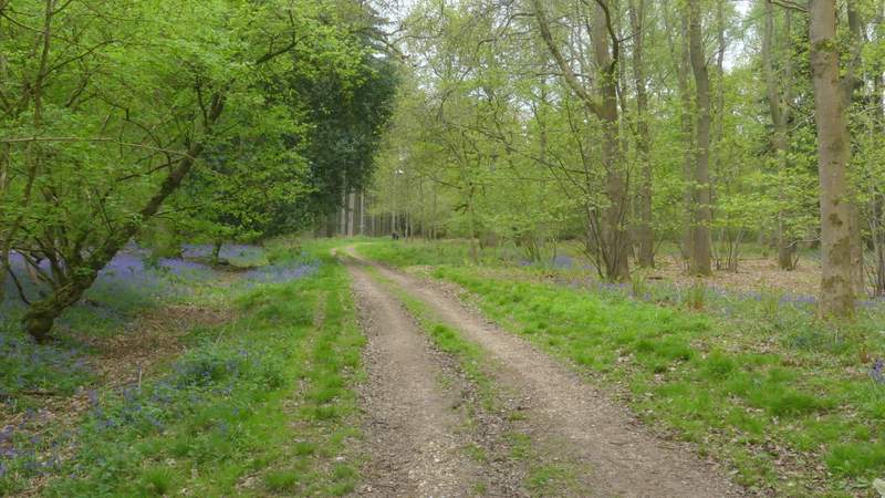
The bridleway continuing through Bix Underwood