Pete's Walks - Hambleden, Colstrope, Medmenham, Fawley (page 5 of 7)
If you are considering walking this route yourself, please see my disclaimer. You may also like to see these notes about the maps and GPX files.
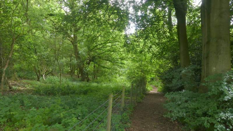
The path joined a track or drive in Bovingdon Green. Shortly after this turned slightly left, I took a footpath on the right that ran for several hundred yards between a hedge on my left and a fence on the right that separated me from a number of paddocks and small meadows. The path then switched to the left of the hedge, where I had views on my left over the fields to the Thames Valley near Bisham. The path then entered Davenport Wood and started to drop downhill.
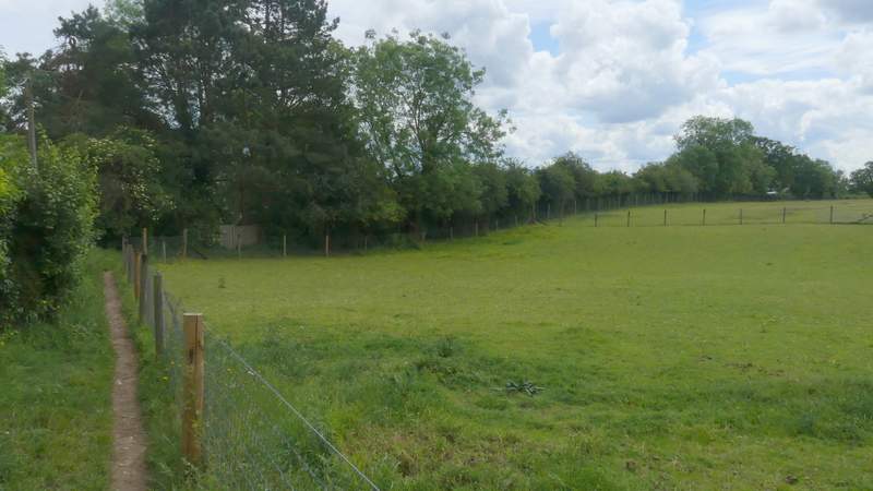
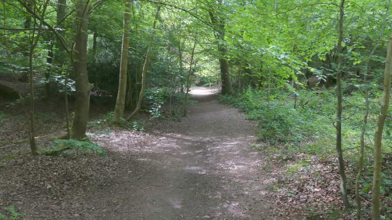
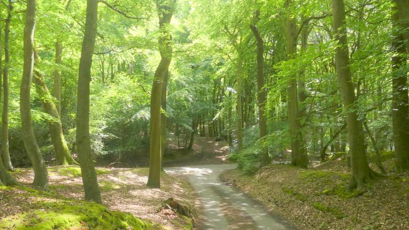
The path after I turned right in Bovingdon Green
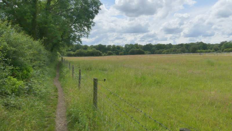
The path after I turned right in Bovingdon Green
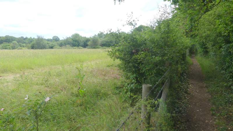
The path after I turned right in Bovingdon Green
The path after I turned right in Bovingdon Green
At the foot of the slope I turned right at a path crossroads. I followed the path through the wood for some distance, until I reached a path fork where I went left. This path ran close to the edge of the wood, on my left. There were a few minor junctions along here, but I just kept taking whichever path stayed closest to the edge of the wood. Eventually the path ended at a lane. I went a few yards right, then took a lane going half-left on the opposite side, which was just part of a small triangle of lanes. On coming to the junction at the tip of this triangle, a footpath sign pointed along a clear track straight ahead, but I took another path starting a few yards further to the right (I realised I'd made a mistake when I did this walk in the opposite direction as I'd reached the junction along the track). The rather indistinct path headed through Hollowhill Wood, gradually getting further away from the track over to my left.
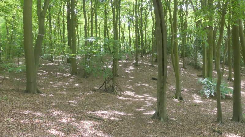
The path after I turned right at the path crossroads in Davenport Wood
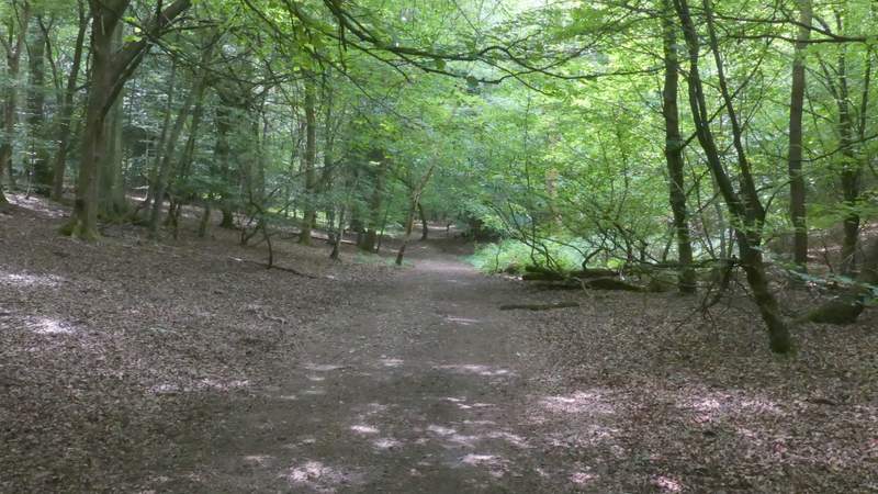
The path after I turned right at the path crossroads in Davenport Wood
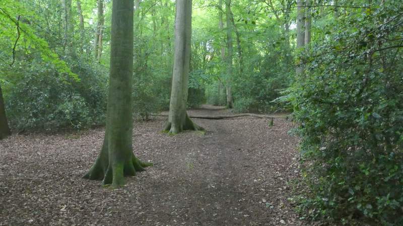
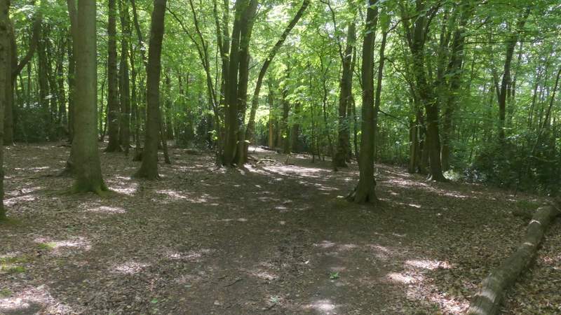
The path after I turned half-left in Davenport Wood
The path after I turned half-left in Davenport Wood
The lane triangle (at the T-junction I went a few yards right, then took a path on the other side - not the obvious track straight on)
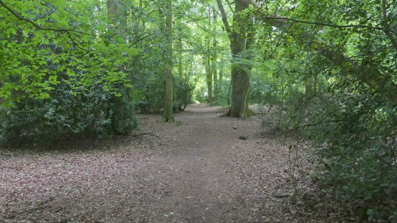
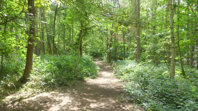
The path through Hollowhill Wood
The path through Hollowhill Wood
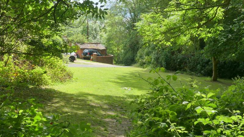
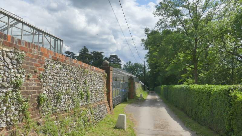
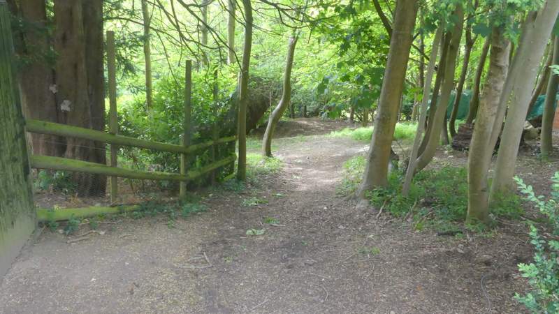
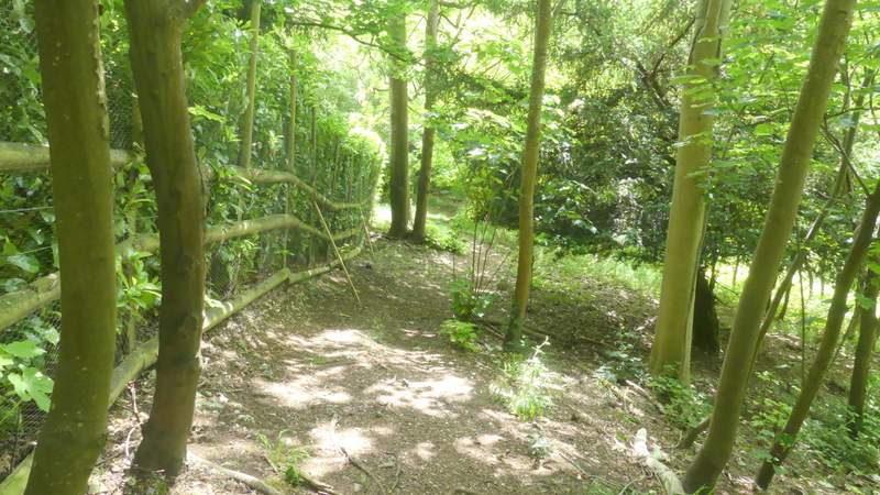
After a few hundred yards I reached a 'junction' with a clearer path coming in sharply from the left, where I went right. This was where I'd made a mistake last time, coming the other way - a waymark sign pointed very slightly left here, but the path I'd just come along was difficult to see and the waymark could easily be seen to mean the clear path (not a public footpath) going straight on (well, that's my excuse and I'm sticking to it!). The path continued on through the wood (it became Hog Wood at some point). It went very close to buildings on the left at one point, then after a while I forked left where I could see a stretch of mown grass ahead of me with a track or drive along a stone wall beyond. I continued ahead down the track for one or two hundred yards until another footpath went right. This dropped downhill through another bit of Davenport Wood a short distance (I went left at an apparent fork) to reach a path at the foot of the slope that ran just inside the edge of the wood.

The path continuing through Hog Wood
The path continuing through Hog Wood
Where the path leaves Hog Wood
The path continuing along a surfaced drive
The path after I turned right from the surfaced drive
The path after I turned right from the surfaced drive