Pete's Walks- Wigginton and Barn Wood (page 4 of 6)
If you are considering walking this route yourself, please see my disclaimer. You may also like to see these notes about the maps and GPX files.
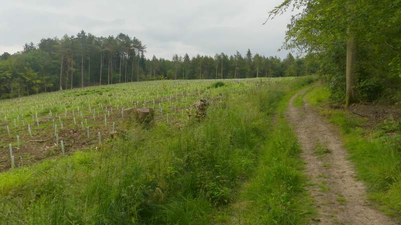
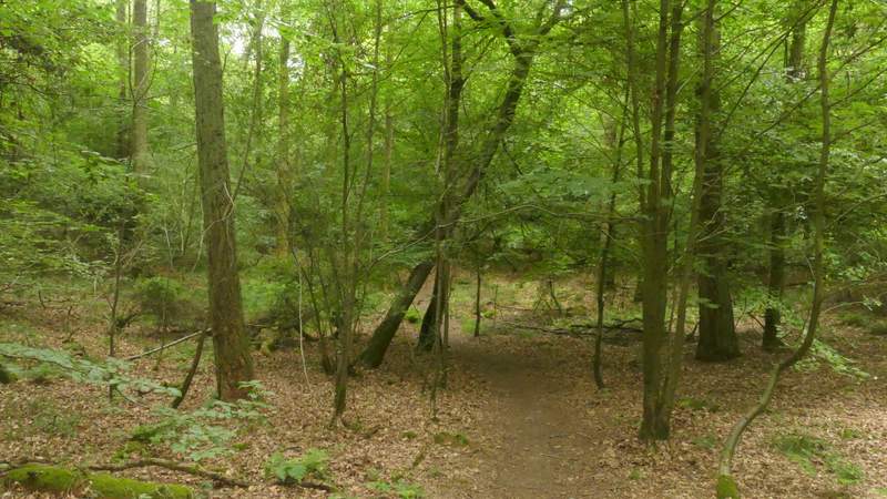
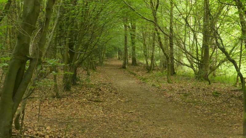
The path led a short way gently uphill through part of Barn Wood, then joined a track which it followed to the left. It was soon running along the top edge of the cleared area I'd just passed. Shortly after passing the end of the replanted area, I came to a junction where a footpath went right - here I continued straight on for a few yards to reach another junction where I turned left, still in Barn Wood. The path was going north here but soon turned slightly right. On reaching the edge of the wood, the path continued northeastwards through a tree belt with fields either side.
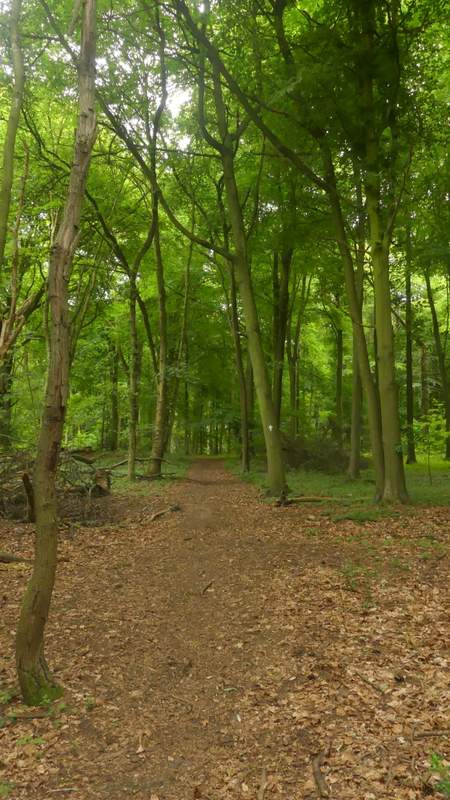
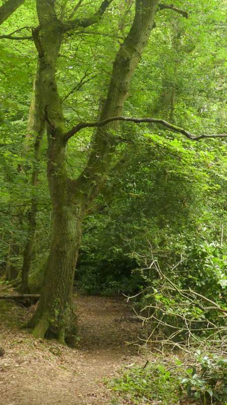
The path after I turned left the first time in Barn Wood
The path after I turned left the first time in Barn Wood
The path after I turned left the first time in Barn Wood
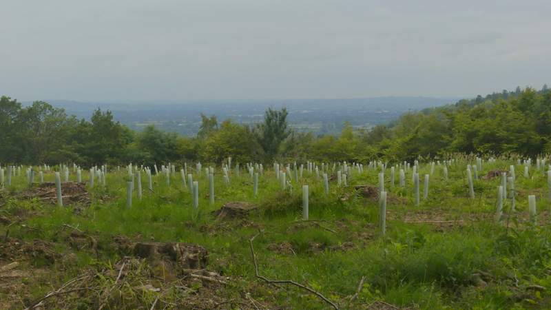
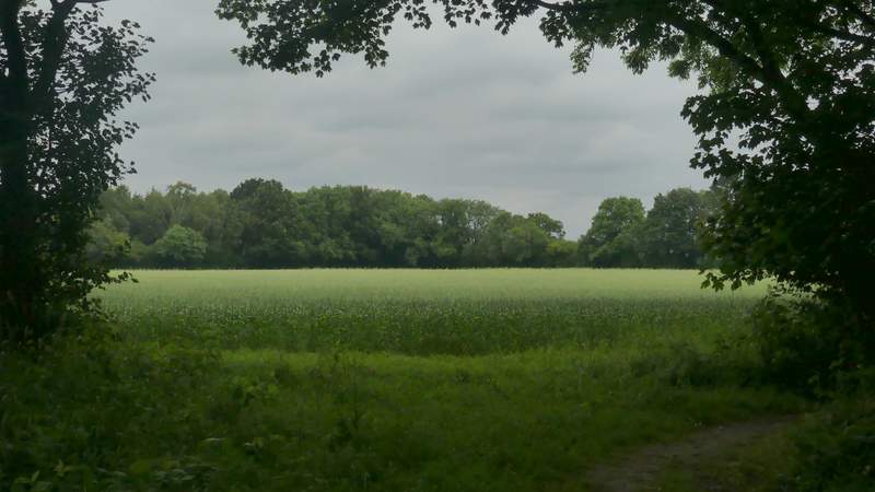
View back towards the Vale of Aylesbury from Barn Wood
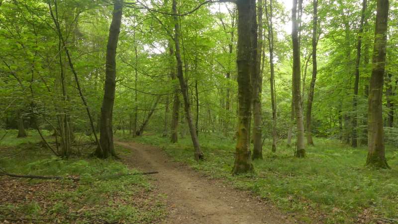
The path after I turned left the second time in Barn Wood
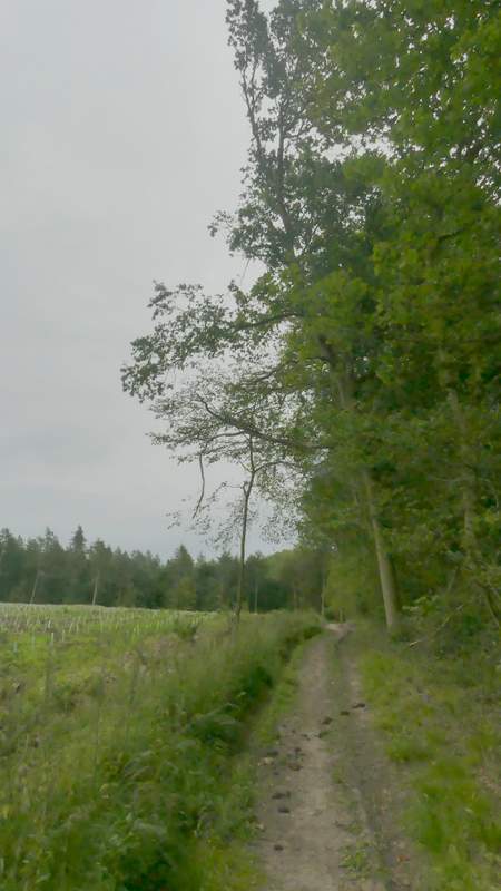
View left from the path at the start of the tree belt between fields
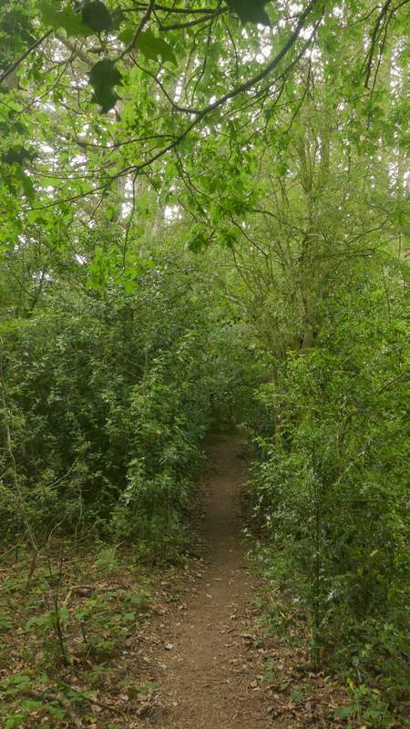
The path continuing through the tree belt
At the end of the tree belt, the path went a few yards right into the corner of the field on that side, then turned left to continue northeast again, now through another bit of woodland. A few yards to my left was an earth bank, part of the ancient earthwork called Grim's Ditch. After a short distance there was a gap where a footpath crossed and I could see out to fields either side again (both of which appeared to be surrounded by woods on all sides). My path now went slightly right, before returning to the same north-easterly course as before, as it progressed through Baldwin's Wood. After almost another half-mile the path ended at a lane junction.
The path continuing close to Grim's Ditch
The path continuing close to Grim's Ditch
The path continuing close to Grim's Ditch
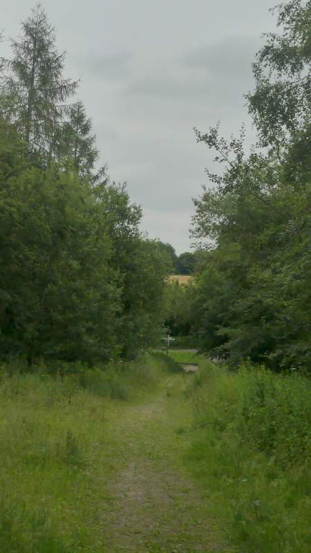
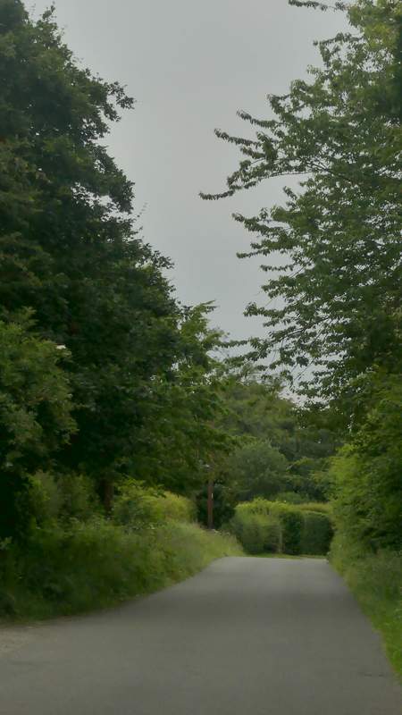
The path approaching the lane junction
I took the lane going straight on. In a little under half a mile, this brought me to another lane junction, in the village of St Leonards. Across the lane junction I entered a caravan park, taking the first turning on the right, then turning half-left and crossing a parking area. The public footpath then went through a gate and ran close to a fence on my right across a paddock. I then followed the path across two corn fields to reach another lane or road, next to a junction.
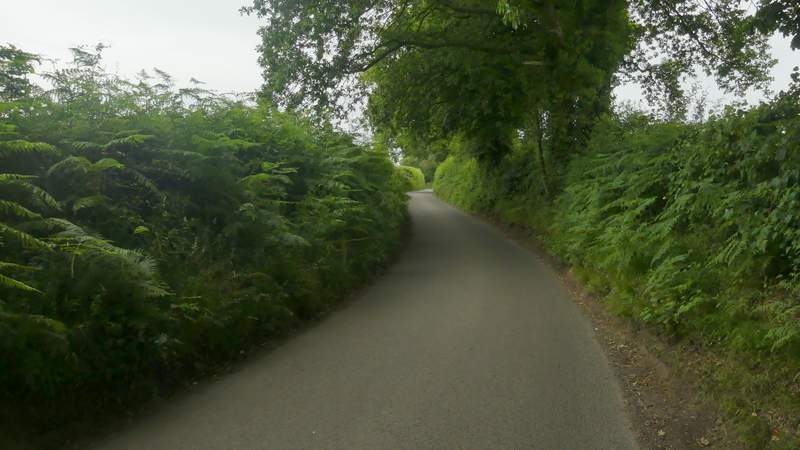
The lane to St Leonards
The lane to St Leonards
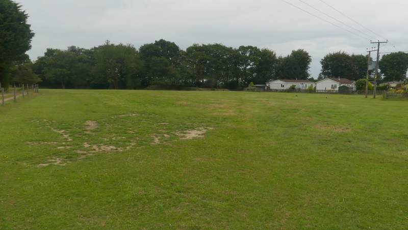
The footpath from the caravan site
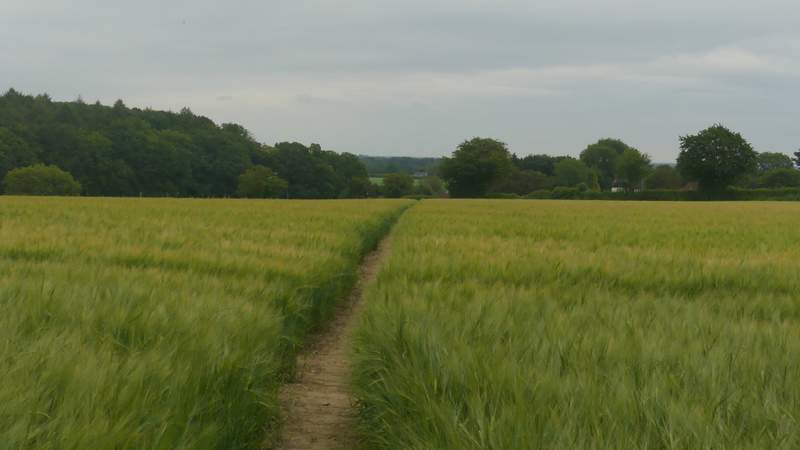
The footpath continuing towards Buckland Wood
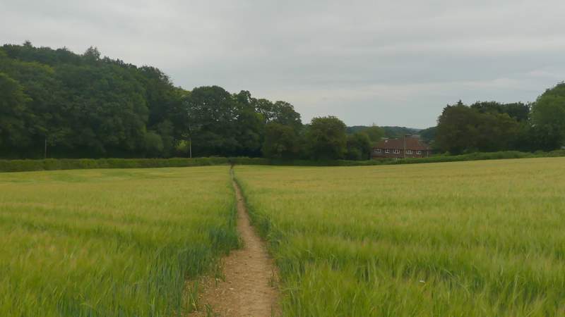
The footpath continuing towards Buckland Wood