Pete's Walks- Maidensgrove and Rotherfield Peppard (page 6 of 6)
If you are considering walking this route yourself, please see my disclaimer. You may also like to see these notes about the maps and GPX files.
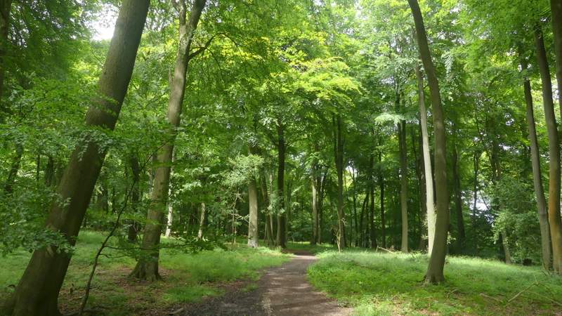
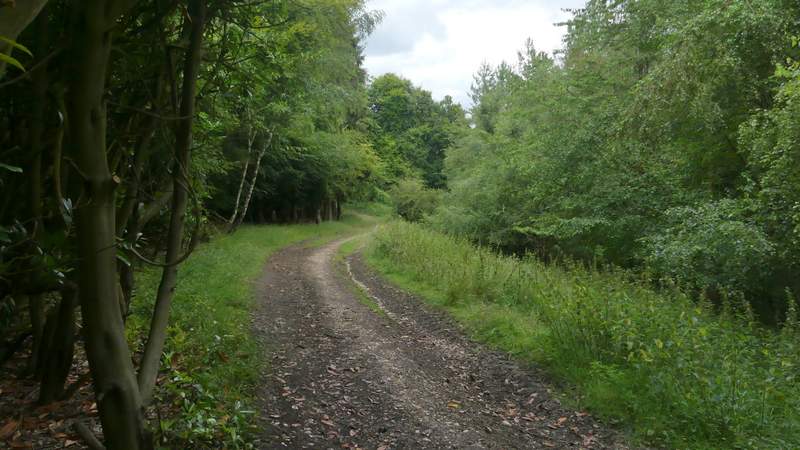
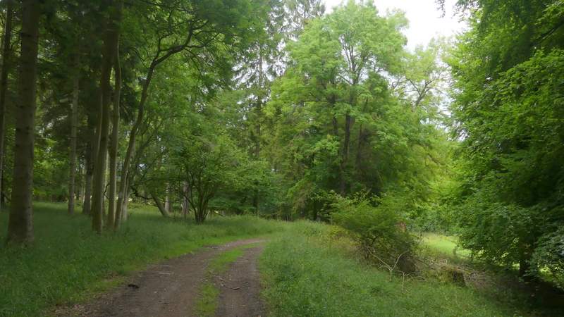
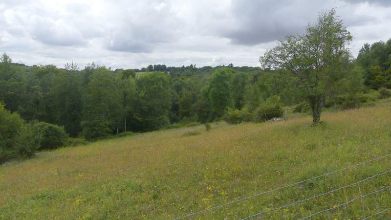
I crossed the road and took a footpath on the other side, which was soon crossing a very large arable field. On the far side I entered a wood called Bushey Copse, where the path bore slightly left. After a while, the path joined a track, now in a wood called Coney Burrow (I think). Further on I passed a gate on the right with a view over the valley of Bix Bottom, the path now running close to the edge of the wood on my right. At the end of the wood, there was another fine view over Bix Bottom. The path now dropped downhill through an empty pasture, following a fence on my left, then turned right along a track to reach Valley End Farm and the lane through Bix Bottom.
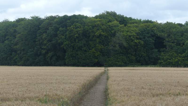
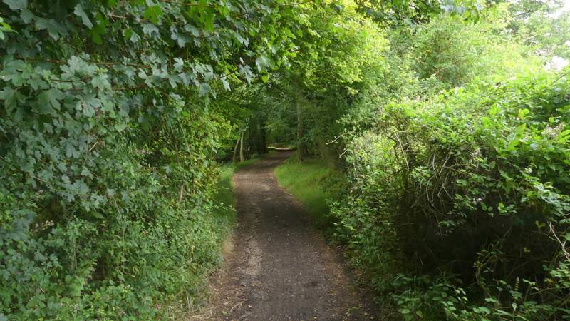
The footpath from Bix to Bushy Copse
Bushy Copse
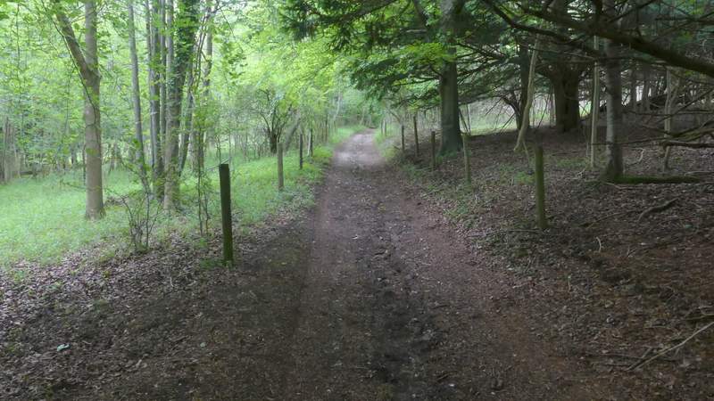
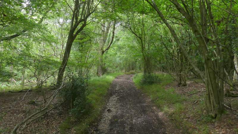
Coney Burrow
Coney Burrow
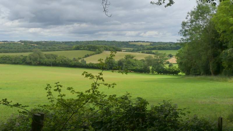
View from the edge of Coney Burrow
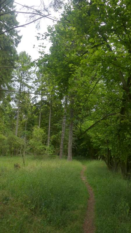
The path through Coney Burrow
The view from the edge of Coney Burrow, over Bix Bottom and Valley End Farm
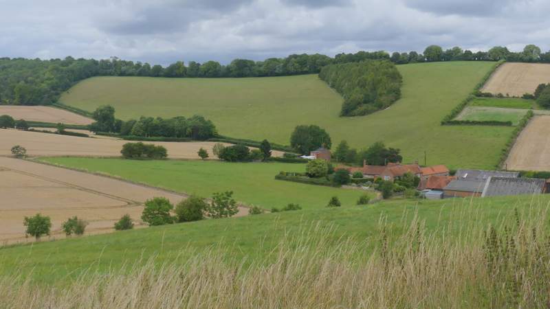
Approaching Valley End Farm
I turned left along the lane (which takes you to the car park and visitor centre at the Warburg nature reserve). I soon passed the ruins of the old church of St James on my left and then just a little further along the lane I took a bridleway on the right. This climbed slowly uphill between stout hedgerows either side, then continued through Freedom Wood, soon with views on my left other the Warburg nature reserve. I went straight on where a byway came in sharply from the right (Warmscombe Lane), the bridleway now almost level and still with the woods of the Warburg nature reserve on my left. Eventually I reached Lodge Farm at Maidensgrove, where I turned left along a lane. After maybe a quarter of a mile, where the lane turned right, I went left along a short track to reach Maidensgrove Common, following the left edge of the common until I came to the lane that crosses it, where I turned right to return to my car.
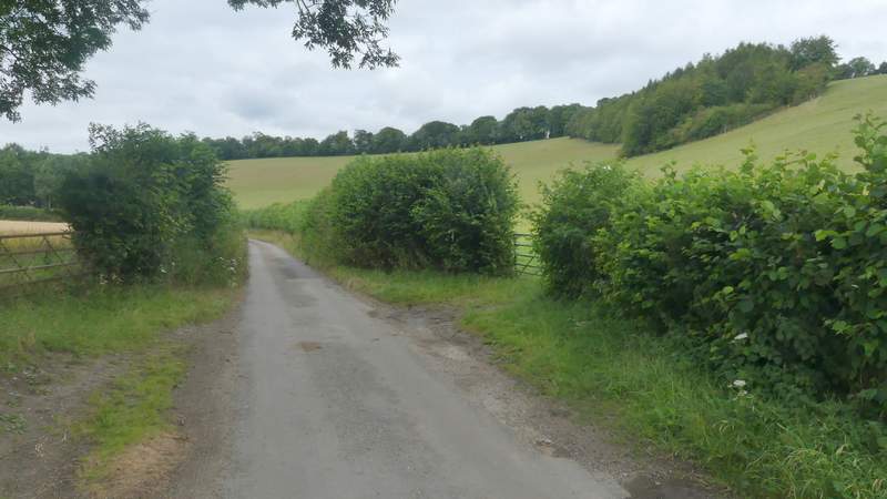
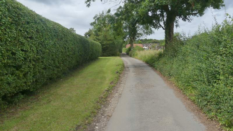
The lane through Bix Bottom
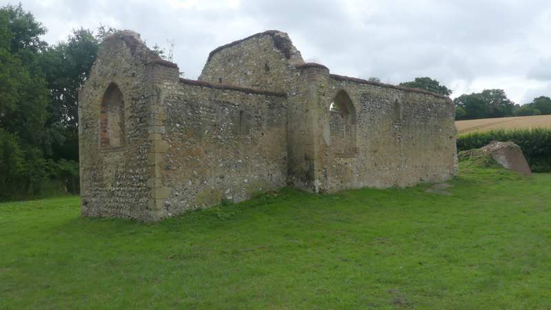
The old church at Bix Bottom
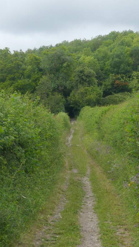
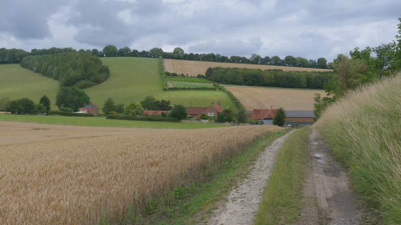
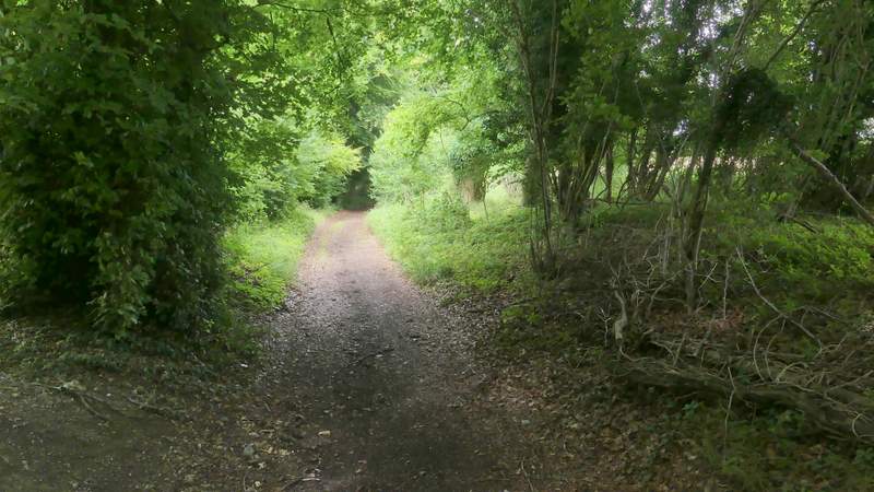
The bridleway from Bix Bottom to Maidensgrove, approaching Freedom Wood
The bridleway from Bix Bottom to Maidensgrove
View over the Warburg nature reserve
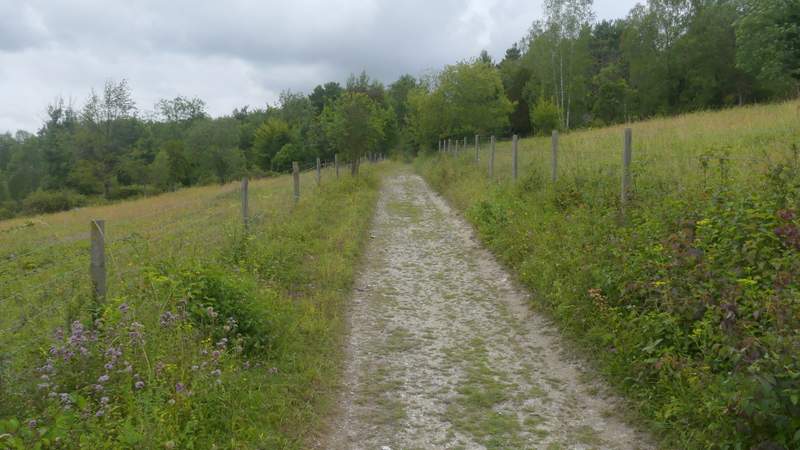
The bridleway from Bix Bottom to Maidensgrove
The bridleway from Bix Bottom to Maidensgrove
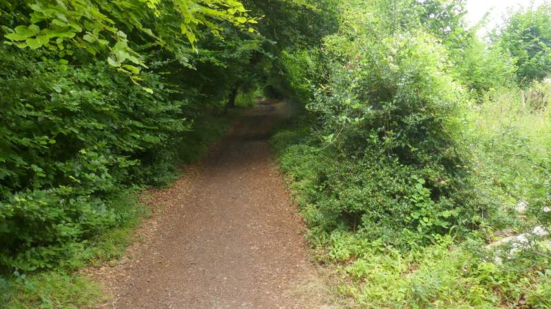
The bridleway from Bix Bottom to Maidensgrove
The bridleway from Bix Bottom to Maidensgrove
Near the end of the bridleway from Bix Bottom to Maidensgrove
The lane through Maidensgrove
Once again this was a thoroughly enjoyable walk,in fact it seemed better than I remembered. It wasn't the hilliest of routes, but had enough ups and downs to keep it interesting. A large proportion of the route was through woodland, but again there were enough sections through farmland to prevent the woods becoming monotonous. Greys Court and the old church at Bix Bottom added some historic interest too.