Pete's Walks- Chenies, Chipperfield Common, Ley Hill (page 4 of 6)
If you are considering walking this route yourself, please see my disclaimer. You may also like to see these notes about the maps and GPX files.
I went straight on at a crossroads in the centre of the village, soon passing the Green Dragon pub on my right and following the road as it turned right by the village church (there was a nice view from a gateway just left of the church, that I don't think I've noticed before). I stayed on the road as it left the village and gradually descended over about half a mile into the valley of Flaunden Bottom. When the road turned left in the valley, I went straight on along a broad hedge-lined bridleway.
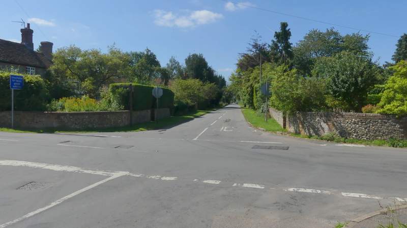
The crossroads in Flaunden (I went straight on)
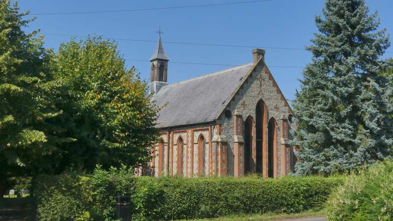
Flaunden church
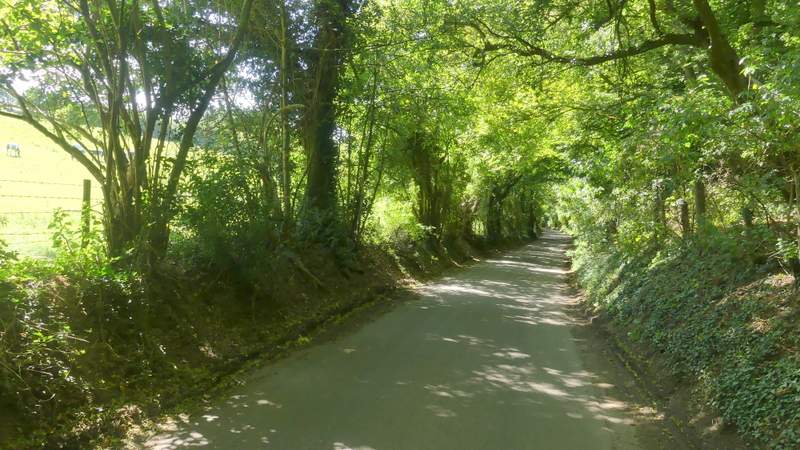
The road from Flaunden heading down to Flaunden Bottom
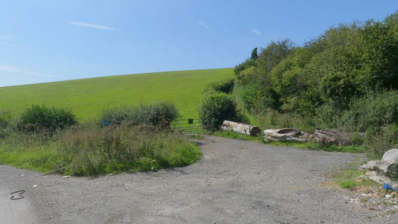
This is where I left the road in the valley bottom and took the hedge-lined bridleway starting up the other side of the valley
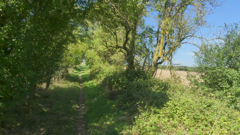
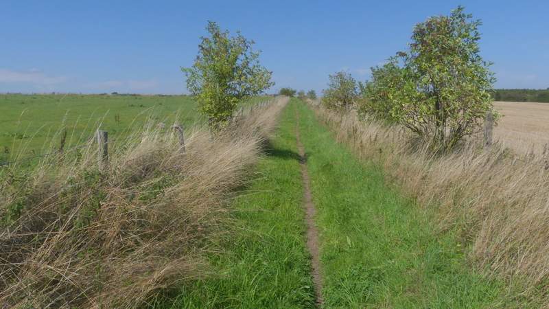
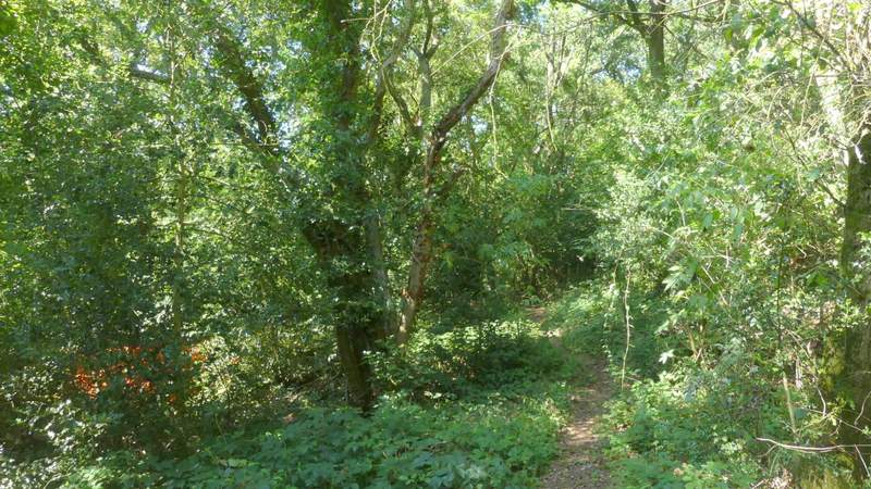
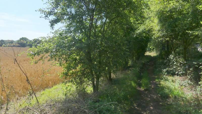
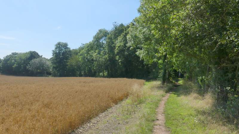
The bridleway rose steeply for a few yards before turning right and running flat for a while. It then turned left and again rose steeply for a few yards, before once more turning right and levelling out. The bridleway then ran between a small wood on my left and a hedge on my right. Beyond the wood there were hedges either side that gradually petered out, though a fence appeared on my left. Eventually the bridleway turned left, just before reaching a lane.
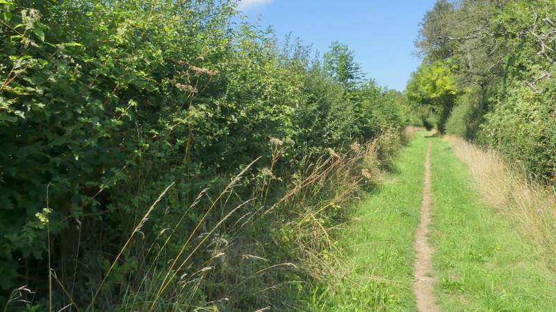
The bridleway from Flaunden Bottom to Ley Hill, after the first time it turns left
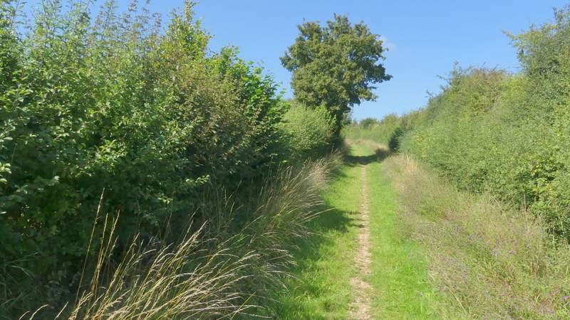
The bridleway from Flaunden Bottom to Ley Hill, after the second time it turns left
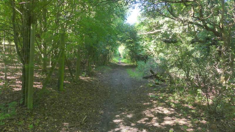
The bridleway from Flaunden Bottom to Ley Hill
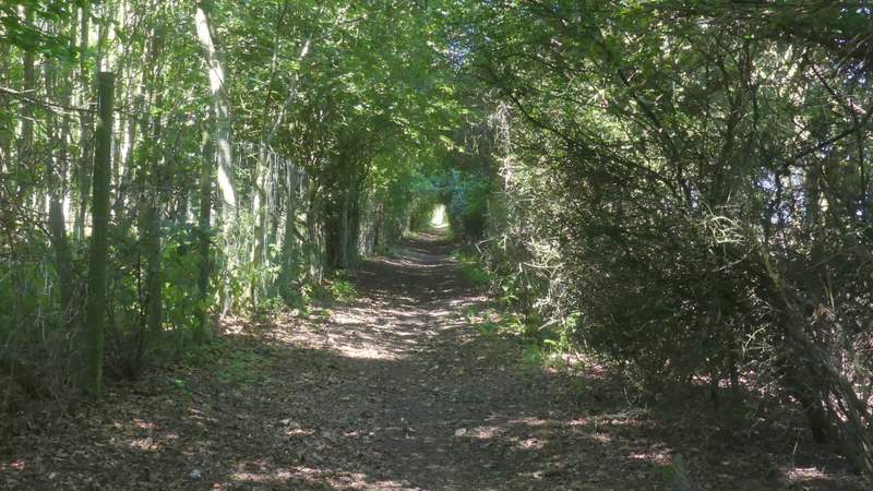
The bridleway from Flaunden Bottom to Ley Hill
The bridleway from Flaunden Bottom to Ley Hill
The bridleway from Flaunden Bottom to Ley Hill
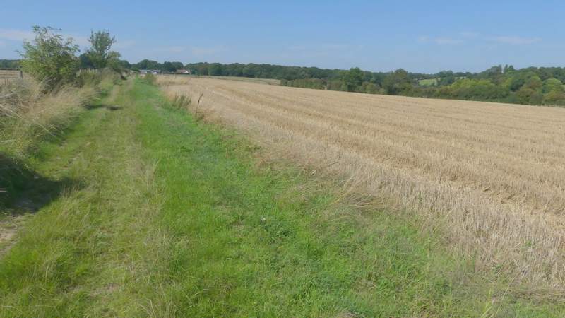
The bridleway from Flaunden Bottom to Ley Hill
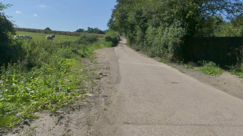
I turned right along the lane, heading towards Ley Hill, but soon turned left down another lane. When I came to a broad gap in the hedge or bushes on my right, I crossed a fairway of the Ley Hill golf course - I found a waymark on a post on the other side but the path was blocked by brambles, so I took a golfer's path just a few feet further left (as I had two years ago when I last came this way). I was soon back on the official footpath as I went round two sides of a 'Tee', then turned right by a bench. immediately after a second 'Tee' I took a faint and unsignposted path on the right, that led through a wood for a short way.
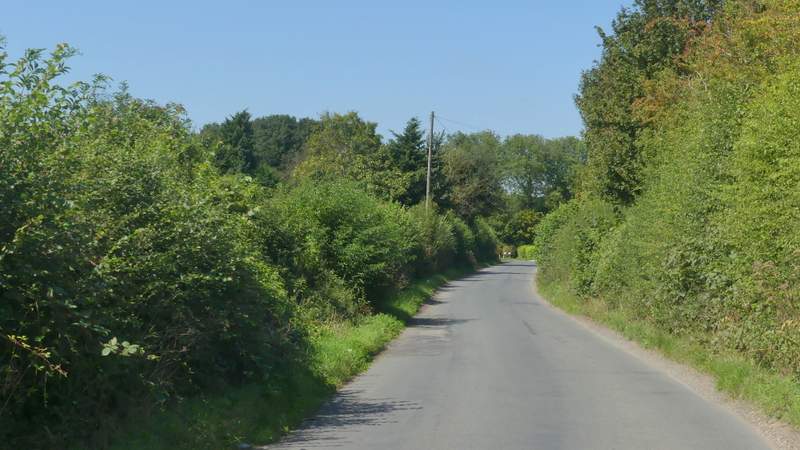
The lane into Ley Hill
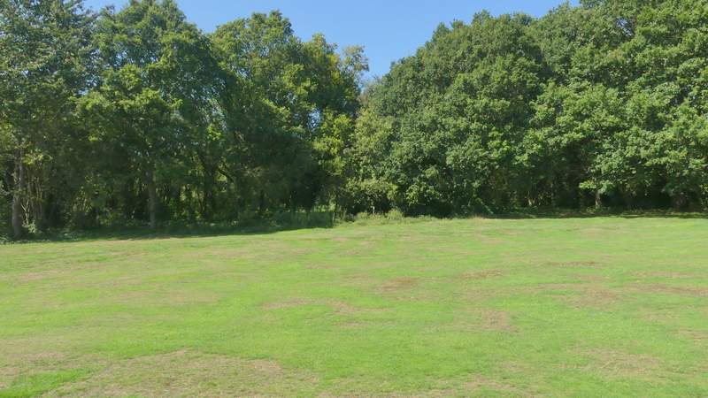
The path across the golf course at Ley Hill
The path continuing through the wood by by the golf course
On reaching a road, I crossed over and followed a bridleway that started along a drive. After several hundred yards the hedge on my left ended but another one started a few yards further on and a few yards to the right. The drive switched to the right of this second hedge, but the bridleway continued straight on, to the left of the hedge. Further on the bridleway passed some small enclosures on my right and eventually reached Cowcroft Wood.
The start of the bridleway to Cowcroft Wood
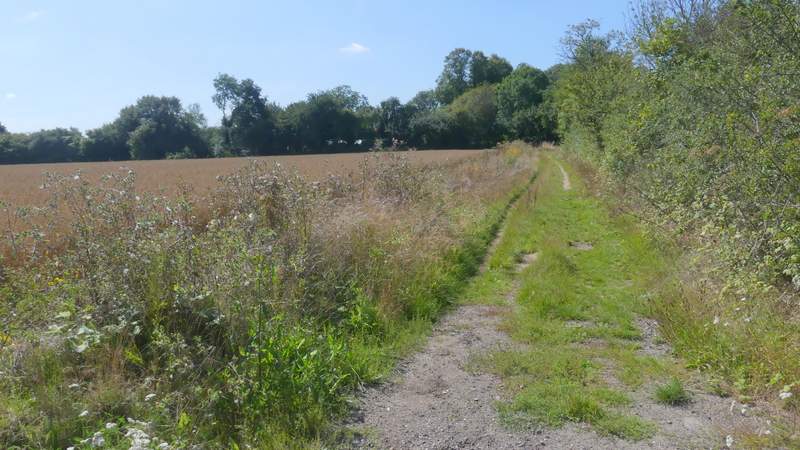
The bridleway to Cowcroft Wood
The bridleway to Cowcroft Wood
The bridleway to Cowcroft Wood