Pete's Walks- Watlington Hill, Russell's Water, Swyncombe (page 5 of 6)
If you are considering walking this route yourself, please see my disclaimer. You may also like to see these notes about the maps and GPX files.
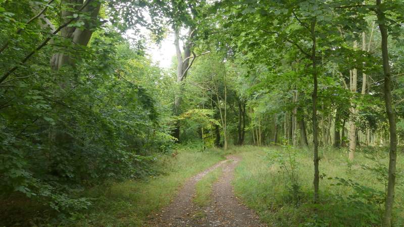
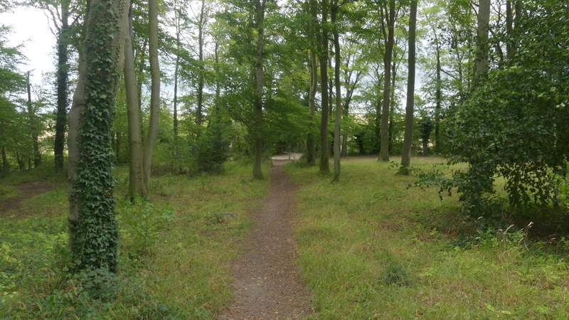
A short lane continued from the church, turning left and soon coming to a T-junction. Here I went straight on along a footpath with a hedge on my left, descending quite steeply into a valley and then climbing equally steeply up the other side, with a wood now on my left. Towards the top of the slope the path entered the wood - I was tiring a bit now, but after a while the path levelled off. I felt a few spots of rain here, but fortunately it didn't come to anything.
View towards Swyncombe Downs, from near the lane junction at Swyncombe
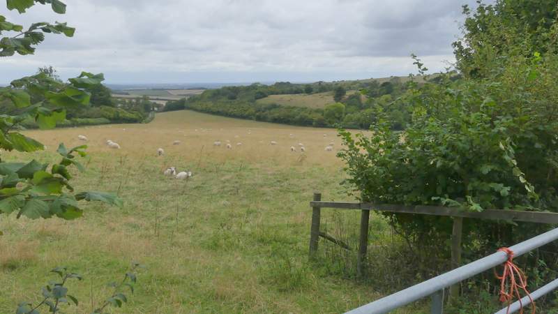
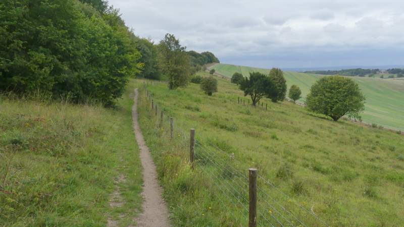
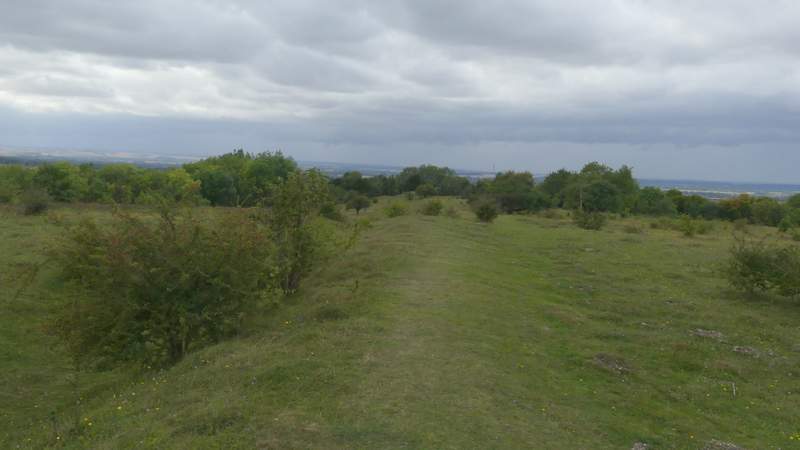
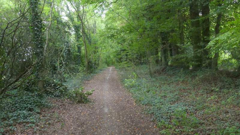
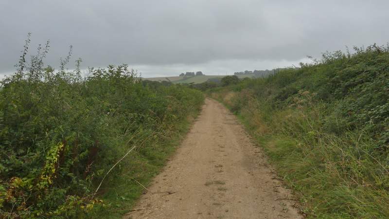
The Ridgeway, going north from Swyncombe
The Ridgeway, going north from Swyncombe
The Ridgeway, going north from Swyncombe
The Ridgeway, going north from Swyncombe
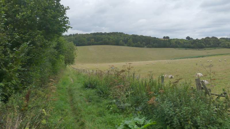
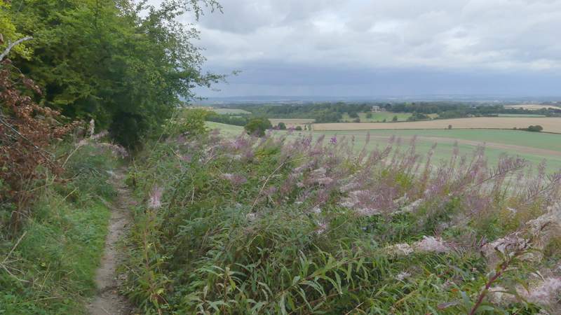
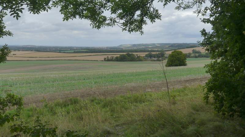
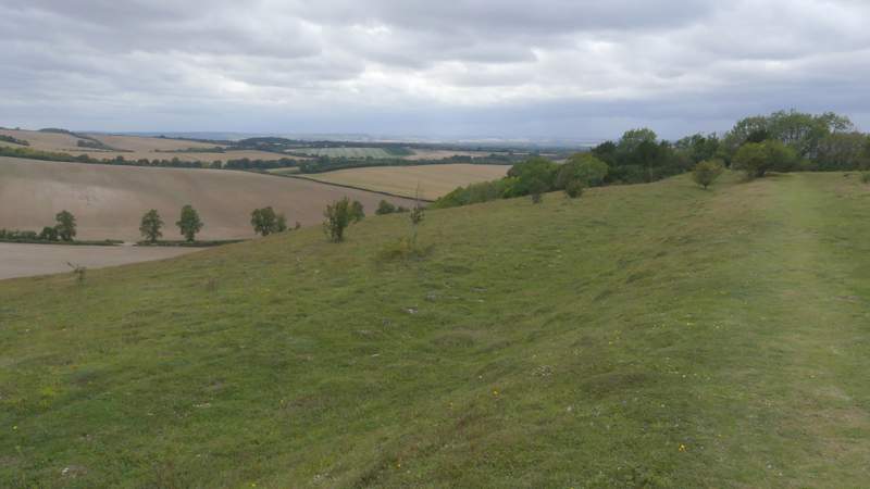
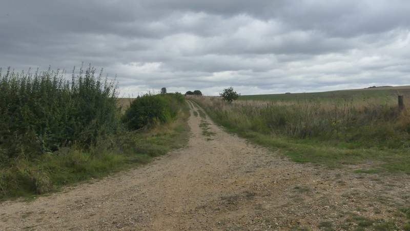
Shortly after the path started to descend I reached a path junction where I turned left (the Ridgeway went straight on). The path ran along Swyncombe Downs, mainly close to an ancient earthwork called the 'Danish intrenchment', to my left. Ahead of me I had a view out over Oxfordshire, while to my right I could see a stretch of the Chiltern escarpment, including my destination of Watlington Hill. After just over half a mile I came to a path junction, where I chose to fork left through a metal kissing-gate (when I've done this route before I've forked right here, but that misses the best bit of Swyncombe Down). The path now ran along the open top of the Downs, with good views in all directions, then dropped down the wooded end of the ridge.
The path along Swyncombe Downs
The path along Swyncombe Downs
View right from Swyncombe Downs
Swyncombe Downs (after I forked left through a metal kissing-gate)
Swyncombe Downs
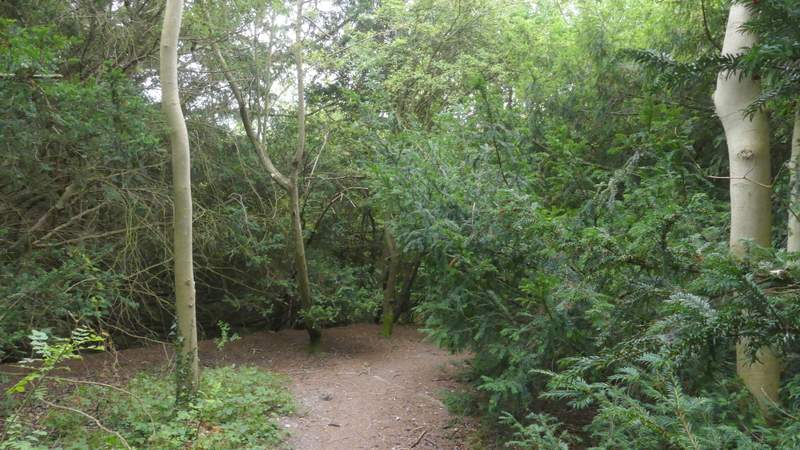
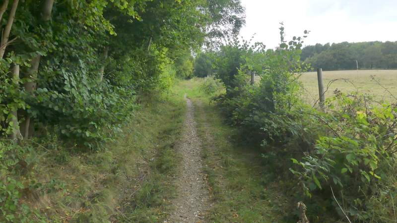
The path descending from Swyncombe Downs
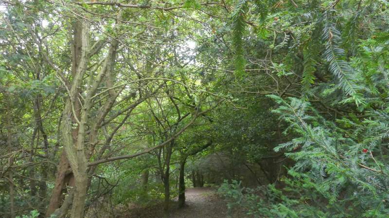
The path descending from Swyncombe Downs
Approaching the car park at the foot of Swyncombe Downs
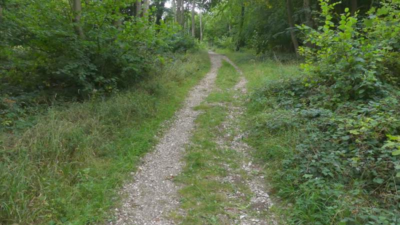
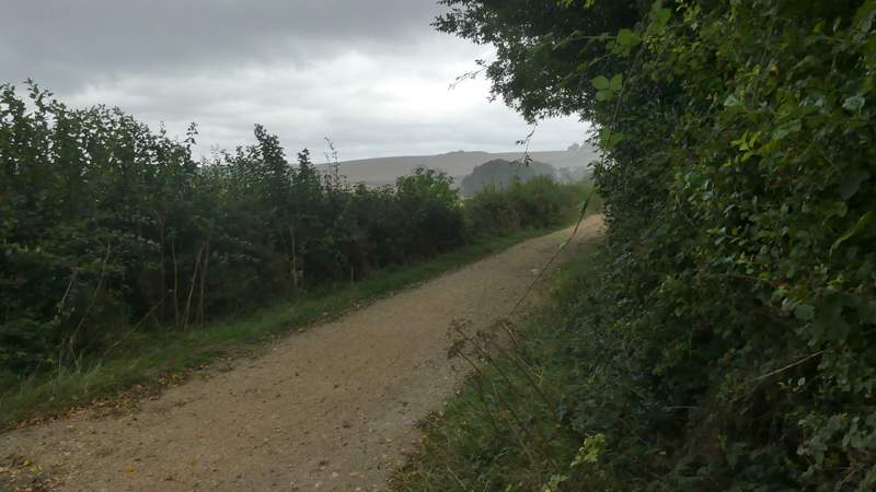
At the bottom of the slope I turned right and then immediately right again along a track that ran along the foot of the wooded slope. Where the wood ended, a path came in on the right, this being where I'd have arrived if I'd taken the right fork on Swyncombe Downs. I continued straight on along a gravelly farm track. The grey skies were really threatening now, and after a few hundred yards the heavens opened and I had to stop and put on my waterproofs. About half a mile from Swyncombe Downs I passed a junction by North Farm, after which I was back on the route of the Ridgeway. A short distance further on I crossed a lane.
The bridleway going northeast from Swyncombe Downs
The bridleway going northeast from Swyncombe Downs
The bridleway going northeast from Swyncombe Downs towards Lys Farm House - this was where I stopped to put on my waterproofs
The bridleway, now part of the Ridgeway, just after passing North Farm