Pete's Walks- Watlington Hill, Russell's Water, Swyncombe (page 4 of 6)
If you are considering walking this route yourself, please see my disclaimer. You may also like to see these notes about the maps and GPX files.
As I followed the bridleway downhill I noticed both Common Field Speedwell and Scarlet Pimpernel growing along the edge of the stubble field on my right. As I got near to the bottom of the field I noticed a small dark blue flower mixed in with them which I didn't recognise - I now think it was more Scarlet Pimpernel which I've learned can occasionally be Blue or Pink (there is an actual Blue Pimpernel, very similar to the blue-petalled Scarlet Pimpernel - I think what I saw is the latter, because it was growing with some 'normal' Scarlet Pimpernel). At the bottom of the slope, the bridleway continued on pleasantly along a grassy track, following a fence and then a hedge on my right. When it eventually reached a bridleway crossroads, I turned right onto a farm track (part of the route of Swan's Way, which I walked in 2007).
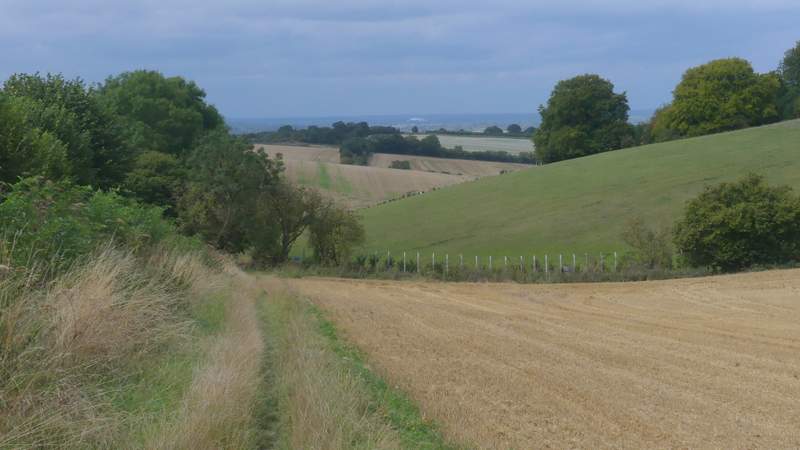
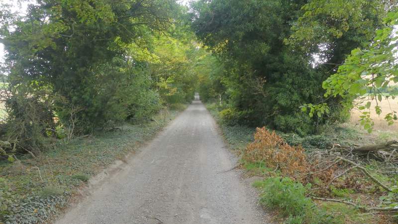
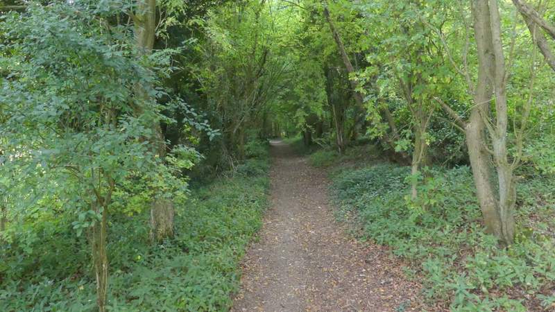
The bridleway continuing from near Ewelme Park
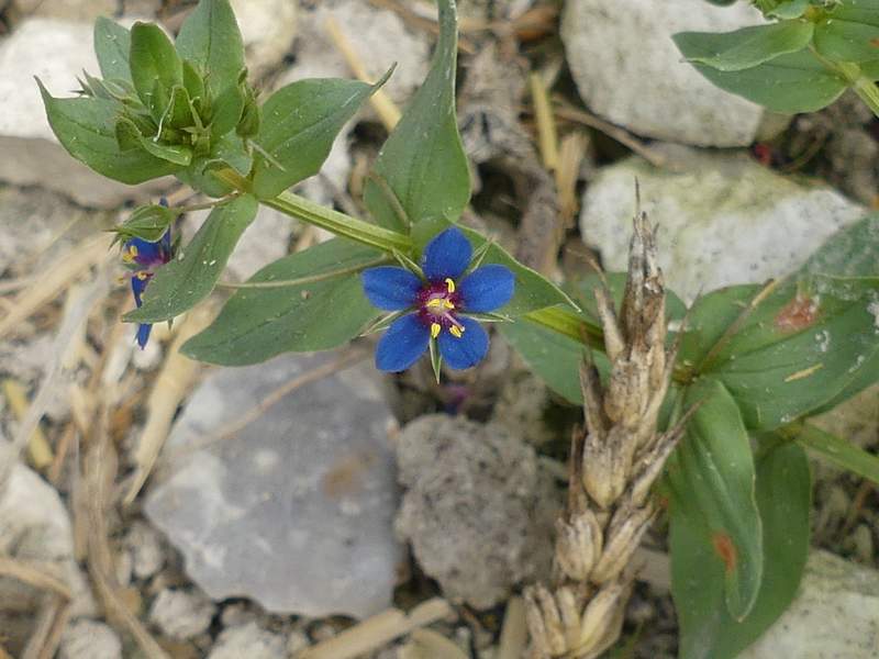
A blue form of Scarlet Pimpernel
The bridleway continuing from near Ewelme Park
The bridleway continuing from near Ewelme Park
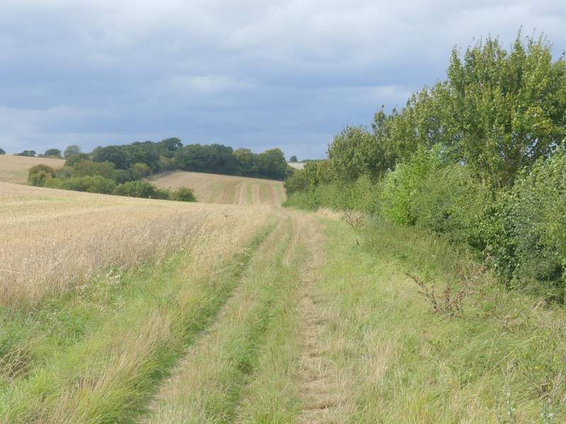
The bridleway continuing from near Ewelme Park
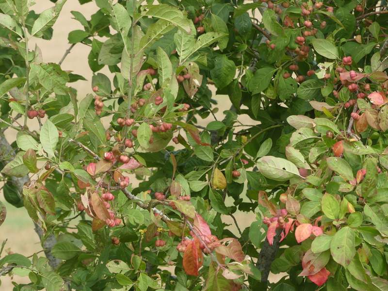
Spindle tree (not at its Autumn best)
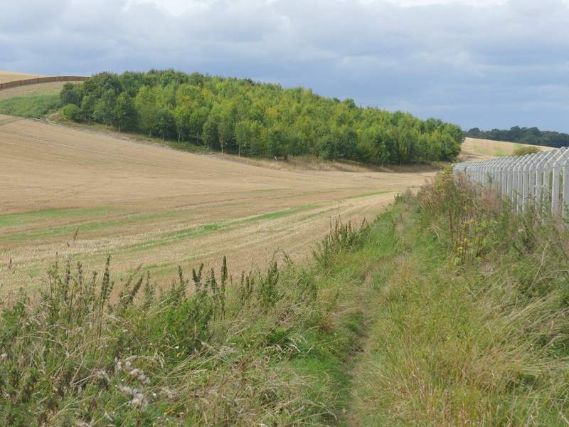
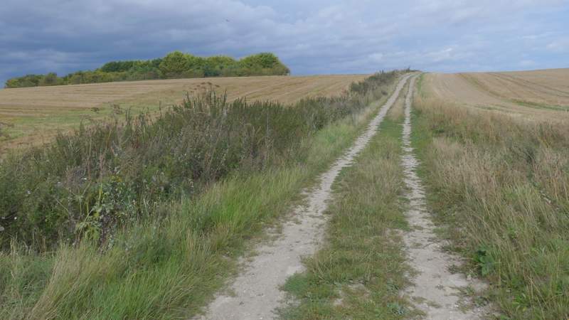
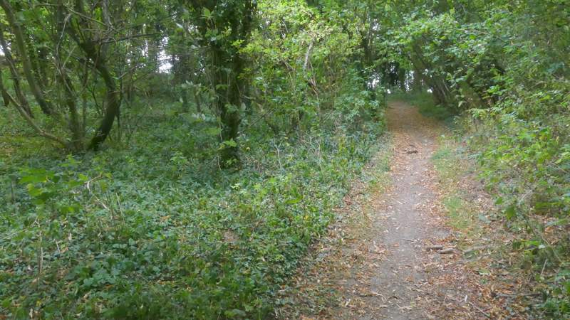
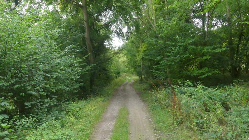
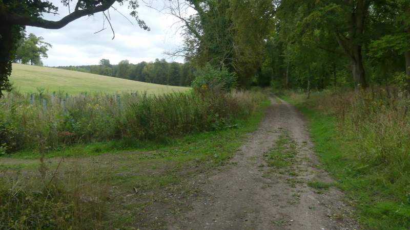
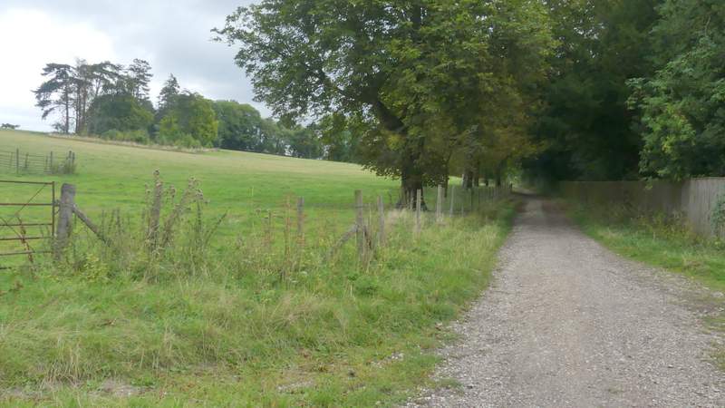
There were some very ominous dark grey clouds coming in from the west now, and I was fairly sure I'd have some rain before I finished the walk. After just over half a mile I reached another bridleway crossroads, where I again turned right, joining a surfaced drive running between mature hedgerows. After a few hundred yards, just before some stone gate posts, the bridleway forked slightly left from the drive, and was soon following a long hedgerow beside another stubble field on my right. This part of the bridleway is marked 'Ladies Walk' on the OS map but I don't know why - I guess it has some connection to Swyncombe House which the bridleway passes further on.
The bridleway after I turned right at a bridleway crossroads
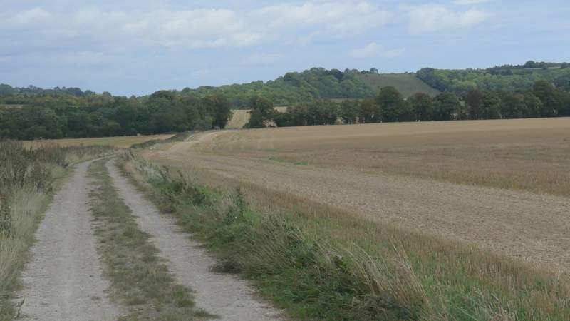
The bridleway after I turned right at a bridleway crossroads (Swyncombe Downs in the distance)
The drive, after I turned right from the bridleway
The bridleway after it forks left from the drive
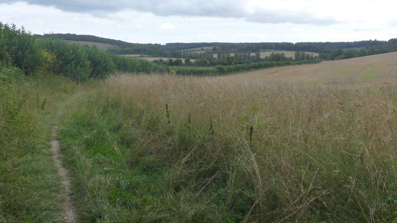
The bridleway named Ladies Walk on the OS map
The bridleway named Ladies Walk on the OS map
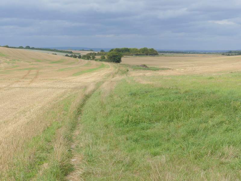
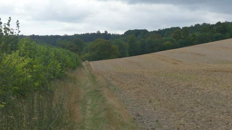
Beyond the field, the bridleway entered a long and narrow strip of woodland along the floor of a valley, named Colliers Bottom on the OS map. After a while the bridleway followed the valley as it curved left, and I joined the route of the Ridgeway after it came in on a footpath from the right. There were fields to my left now, and further on I passed some outbuildings of Swyncombe House on my right. I then passed the 11th-century church of St Botolph, one of my favourite churches in the Chilterns (its history is told on this web page - I walked past the site where Botolph built his church at Iken several times when I lived in Suffolk).
The bridleway continuing along Colliers Bottom
The bridleway continuing along Colliers Bottom
The bridleway continuing along Colliers Bottom
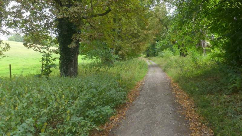
The bridleway continuing along Colliers Bottom
The bridleway continuing along Colliers Bottom
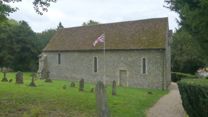
St Botolph's church, Swyncombe