Pete's Walks - Cadmore End, Horsleys Green, Moor Common (page 5 of 7)
If you are considering walking this route yourself, please see my disclaimer. You may also like to see these notes about the maps and GPX files.
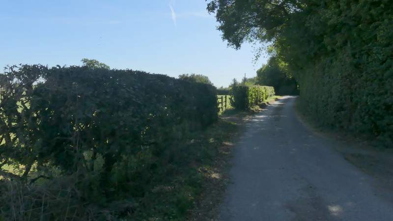
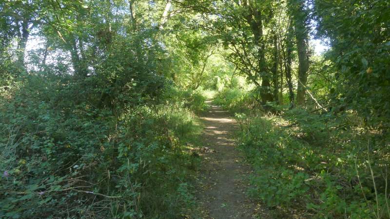
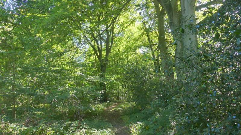
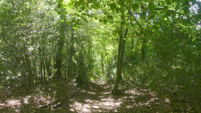
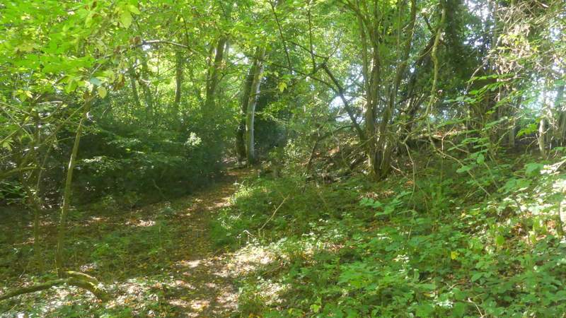
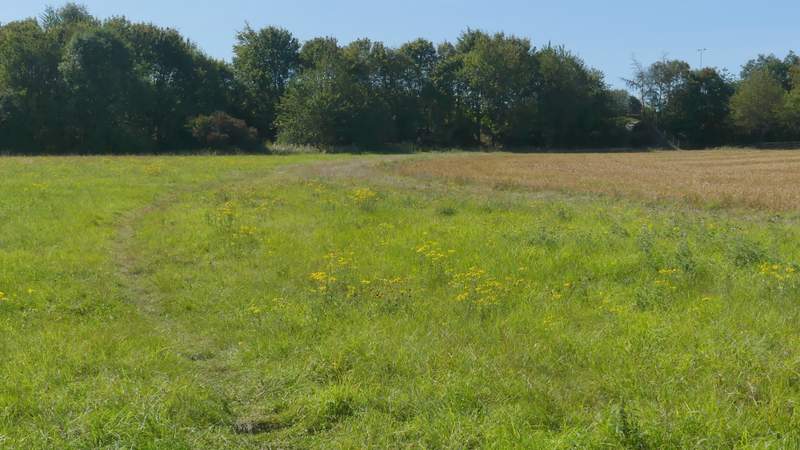
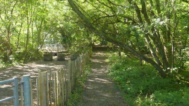
When the track turned left, becoming the drive from Fryers Farm (which was to my right), I followed it - I was now starting another section of the route that I'd not walked before. I followed it for about a third of a mile, then just yards before it reached a road I turned left along a bridleway. I was a little confused here as there were two waymarks because a footpath started at the same point (running a few yards right of the bridleway) - I followed the bridleway as that was what was shown on the OS map. Somewhere along it I noticed the waymarks said 'Permissive bridleway'. Anyway, it soon brought me to a drive (going to Grove Farm to my left), where I went a few yards right and then turned left along the footpath (curiously the OS map does show it as a footpath after the drive). I soon came to a path junction where I turned right along a path between stout garden hedges. This brought me to a private drive or road, where I went a little way right, then turned left across some short grass to where a waymark indicated the path continued through part of a wood named Spring Coppice. I followed it until it ended on Lane End Road (which it approached at a sharp angle).
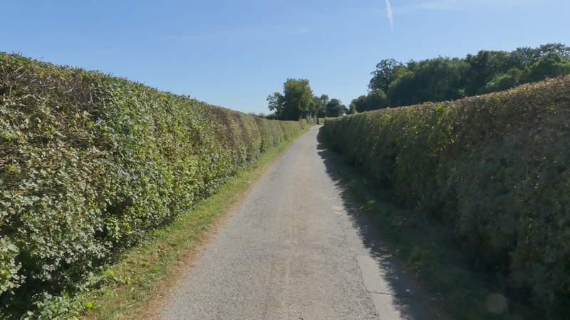
The drive from Fryers Farm
The drive from Fryers Farm
The permissive bridleway after I turned left from near the end of the drive from Fryers Farm
The path continuing from the drive to Grove Farm
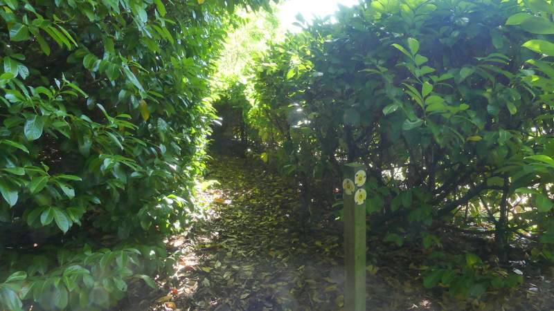
The start of the path where I turned right
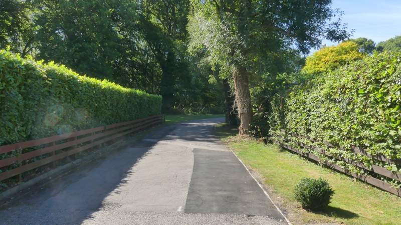
the same path, where it goes right along a drive
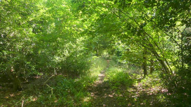
The path after it turns left from the drive
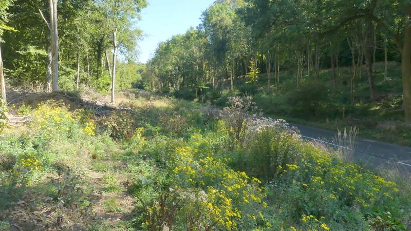
The path as it reaches Lane End road
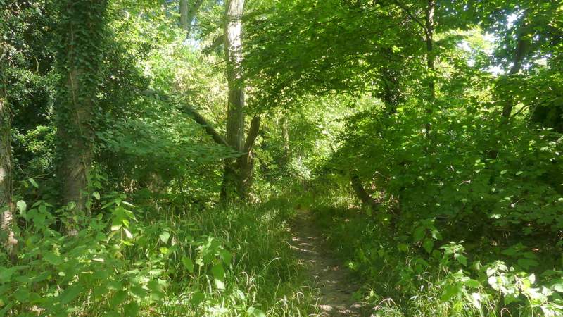
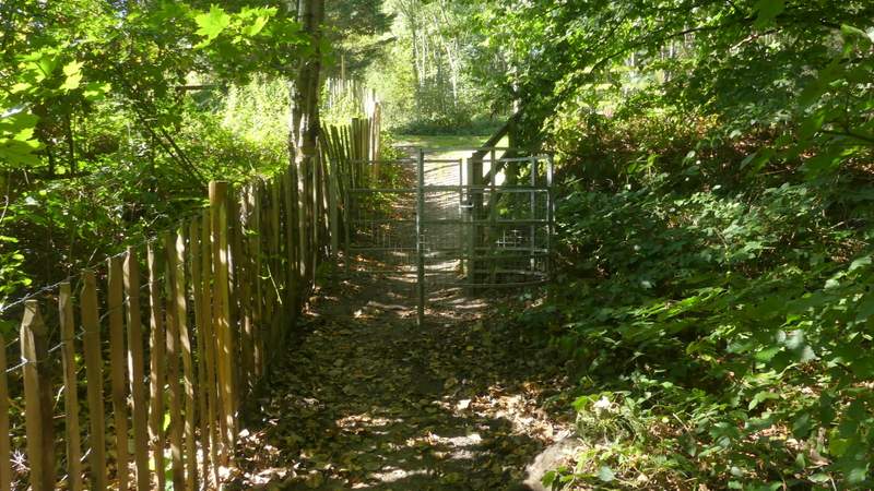
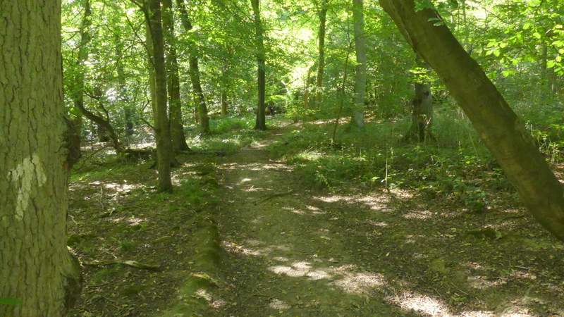
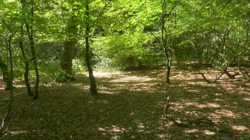
I turned right and went a short way along the road, then turned left (by a green metal barrier) onto a bridleway running through Booker Common (which seems to be a wood). After a few hundred yards I took a footpath that forked slightly right, close to the edge of the wood to my right. The footpath soon left the wood, crossing a large grassy corner of a field (most of the field, to my right, was stubble) to reach a concrete tunnel through the embankment under the M40. On the other side of this the path turned right, running parallel to the motorway for some distance before bearing slightly left.
The bridleway through Booker Common
The bridleway through Booker Common
The path after I forked right in Booker Common
The path continuing from Booker Common towards the M40
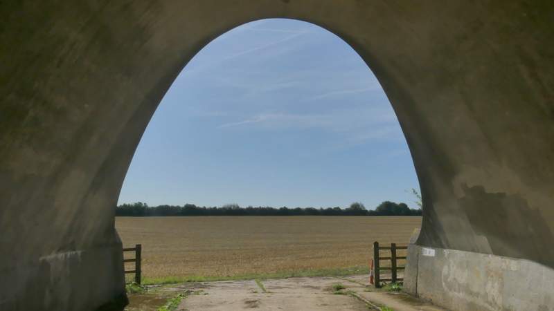
Looking out through the tunnel under the M40
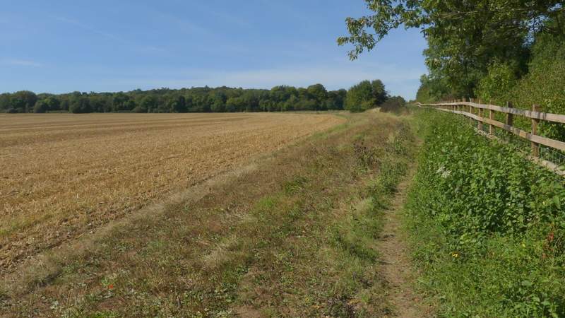
The path continuing alongside the M40
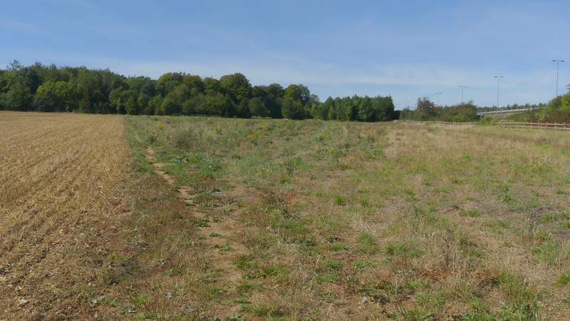
Further along the same path
On reaching the end of a field, the path went through some trees and continued straight on across a meadow. I could hear shooting going on behind the trees on my left, where there is a Clay Pigeon Shooting centre. In the corner of the meadow the path entered Widdington Park Wood, running alongside a fence on my left with various 'Warning' notices on it. The path crossed the drive to the Clay Pigeon Shooting centre and continued on beside the fence. After one or two hundred yards it started to move slightly right, away from the fence and deeper into Widdington Park Wood.
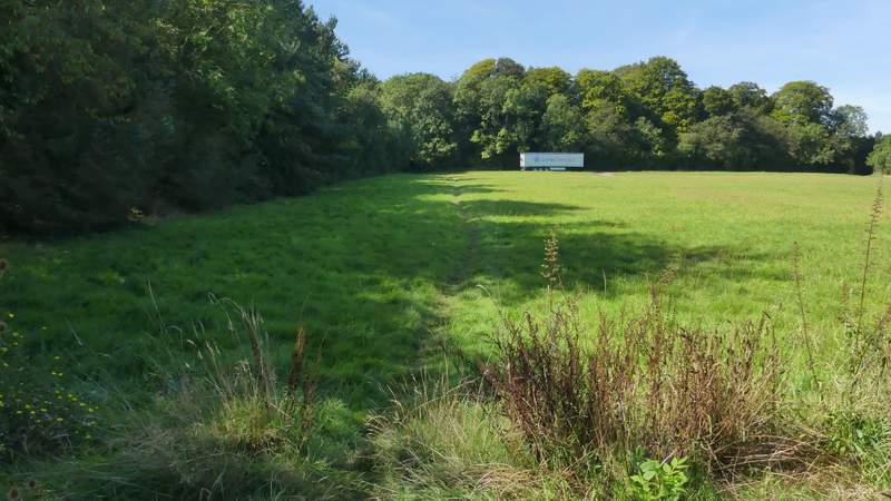
The meadow near the Clay Pigeon centre
The path continuing past the Clay Pigeon centre
The path continuing past the Clay Pigeon centre
The path continuing from the Clay Pigeon centre
The path continuing from the Clay Pigeon centre