Pete's Walks - Cadmore End, Horsleys Green, Moor Common (page 6 of 7)
If you are considering walking this route yourself, please see my disclaimer. You may also like to see these notes about the maps and GPX files.
After a while I reached the corner of a green railing fence (it surrounds a reservoir) and a path junction, where I turned left. This path was fairly soon running along the fence of the Clay Pigeon Shooting centre again, before gradually moving further right from it. About a quarter of a mile from the junction by the reservoir I reached another path junction, where I went right. This path ran close to an edge of the wood, with fields close by on my left, the wood here being mainly beech trees. After a quarter of a mile or so, in an area of smaller trees, the path turned left and finally left Widdington Park Wood (NOTE: I'd already gone past one obvious opening in the edge of the wood to my left - you have to go on until the path turns left in the smaller trees). It continued across a large stubble field, with Lane End visible over to my right, to reach a road (the B482).
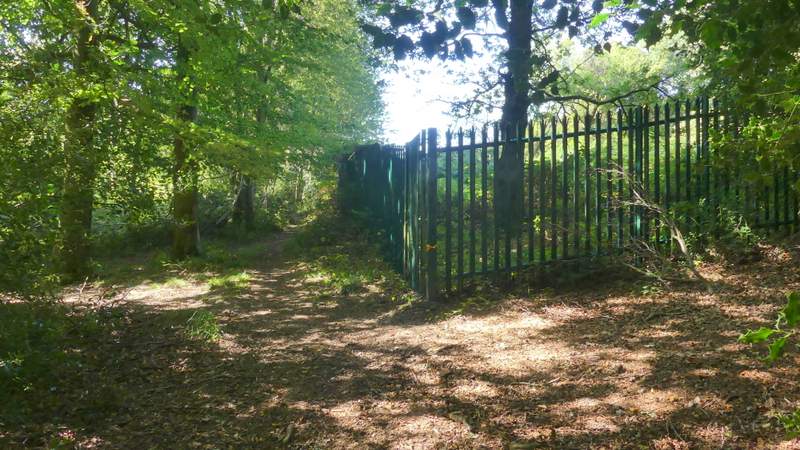
The corner of the green fence around a reservoir, where I turned left
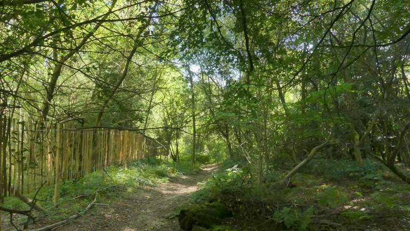
The path going southeast through Widdington Park Wood, next to the Clay Pigeon centre
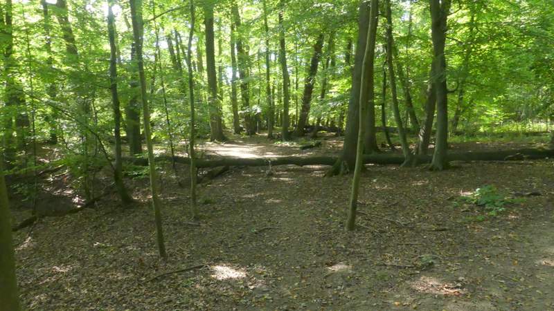
The path going southeast through Widdington Park Wood
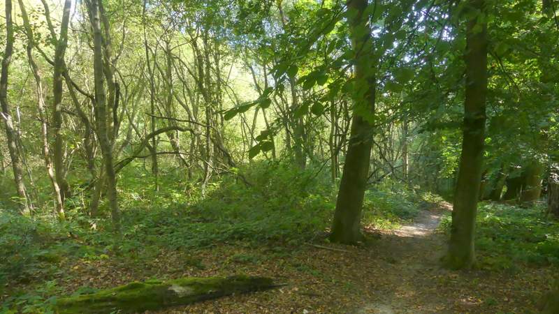
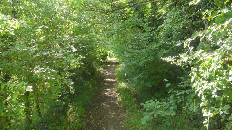
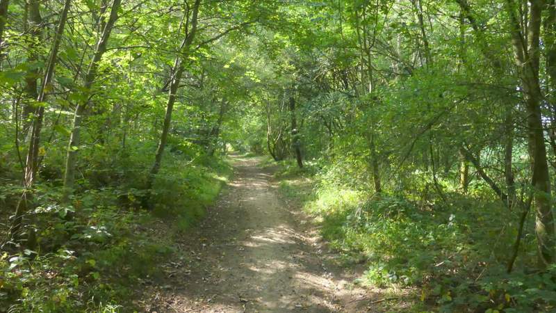
The path after I turned right in Widdington Park Wood
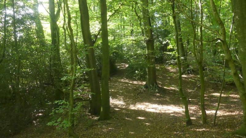
Further along the same path
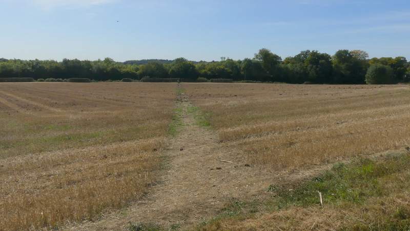
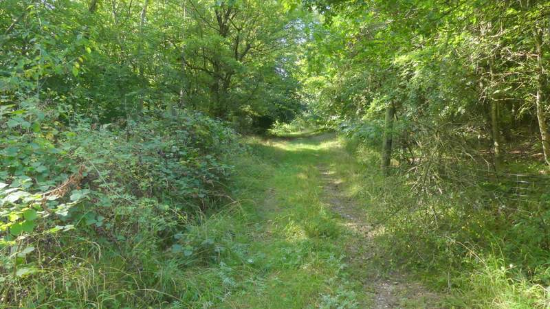
The path continuing from Widdington Park Wood
View left from the edge of Widdington Park Wood
Across the road, a permissive path went left, just inside Moor Wood (avoiding a rather dangerous road walk). When it ended near a gate I turned right along a path that initially ran between the wood and a field hedge on my left. At the end of the hedge, the path went right along a track through part of Moor Wood. Just after a broad path went left, a half-hidden waymark post indicated where the path went slightly left (away from a line of overhead wires it had been following). The path now dropped gradually downhill a little way, going over a stile at one point, to reach a path junction where I went right. I now had a bit of Moor Wood on my left and a very overgrown area to my right. The path then ran through another small part of Moor Wood, continuing between the wood and a hedge on my left. At a corner of the wood the path went straight on across a ploughed field. It should have continued in the same direction over the next field (also ploughed) but there was no sign of it, so I went left along a farm track and then turned right along the edge of the field as far as a fingerpost, where I continued along a street into Moor Common.
The permissive path beside the B482
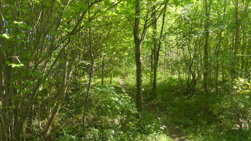
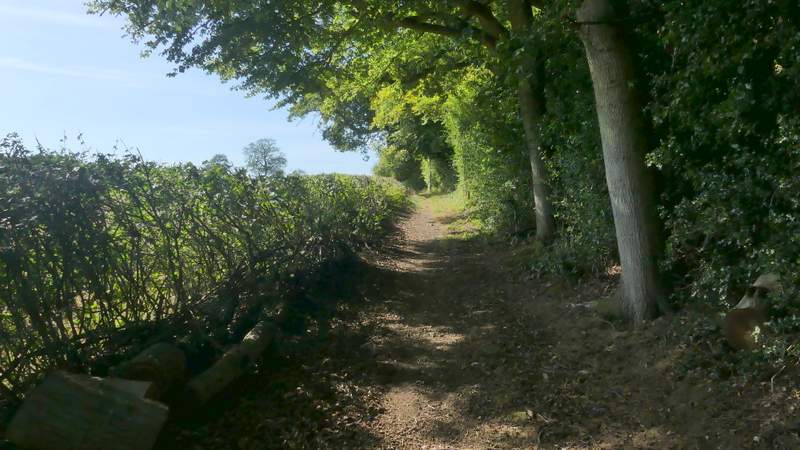
The path after I turned right
The same path, after it turns right
Further along the path where it forks slightly left from a line of telephone wires
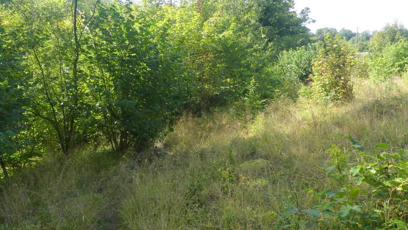
The path after I turned right at a junction
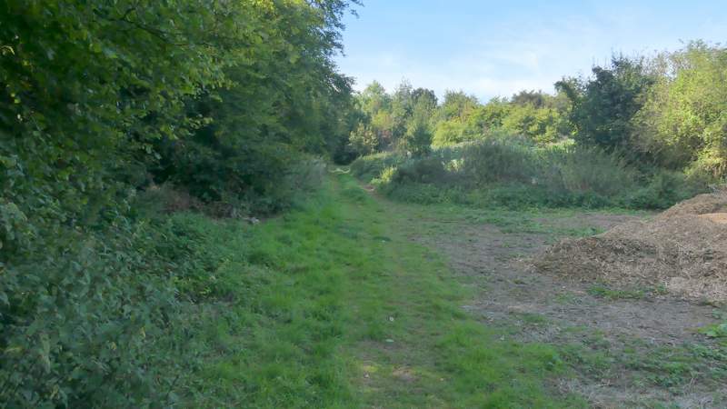
The path continuing towards Moor Common
The path continuing towards Moor Common
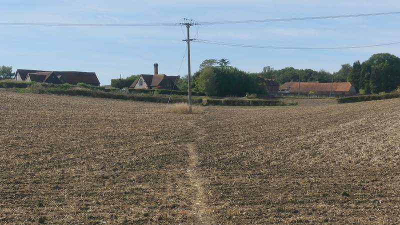
The path continuing towards Moor Common
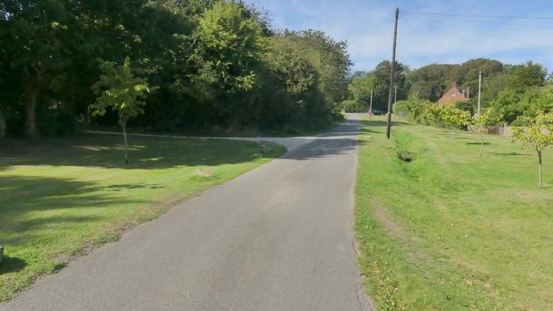
The street in Moor Common
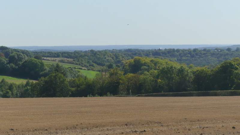
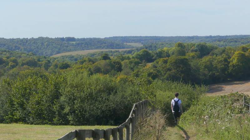
At the end of the street I turned left along the road through Moor Common, starting another section of the route that was new to me. After a short distance I turned right along a footpath that begin along a gravel drive. When it left the houses of Moor Common it continued between a fence and a tall hedge on my right. At a path junction, where a path came in from the right, I continued half-left with a far-reaching view ahead of me. The path soon turned half-right, going northwest, alongside a large stubble field on my left.
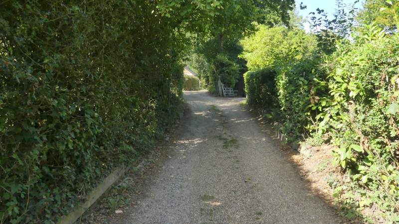
The start of the path going north west from Moor Common
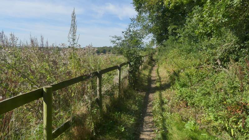
The path going north west from Moor Common
The start of the path going north west from Moor Common (after I kept left at a junction)
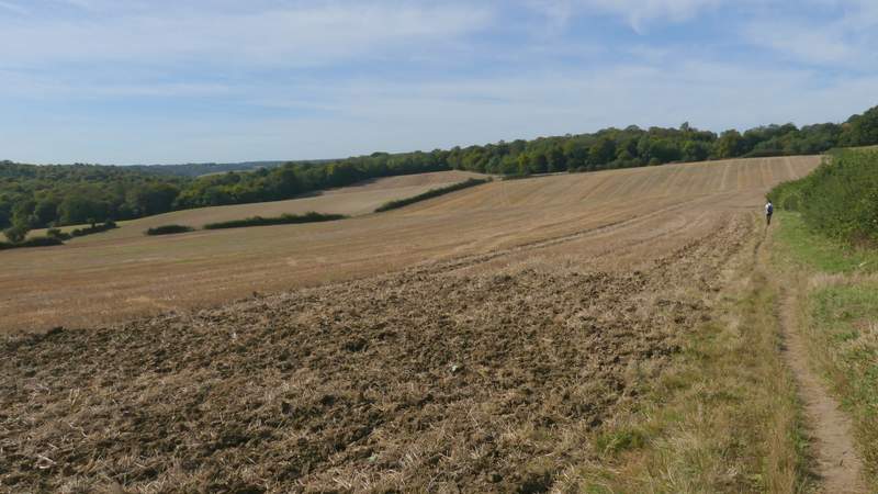
The path going north west from Moor Common