Pete's Walks - Cadmore End, Horsleys Green, Moor Common (page 7 of 7)
If you are considering walking this route yourself, please see my disclaimer. You may also like to see these notes about the maps and GPX files.
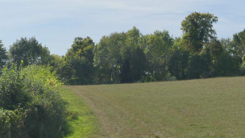
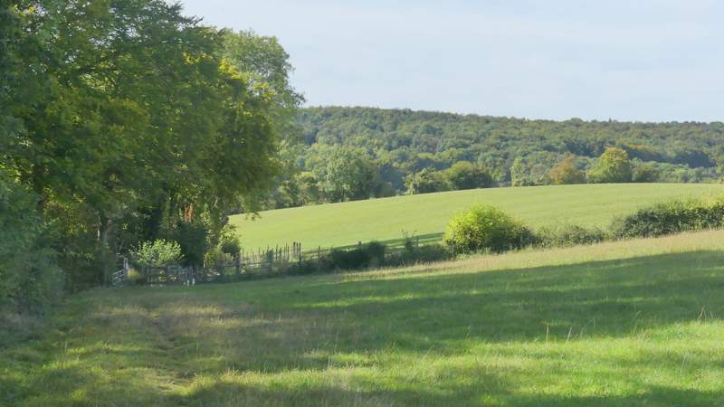
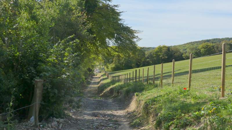
On finally reaching the end of this field, I went through a gap in the hedge ahead of me and turned left onto another path, which followed the edge of another stubble field on my right. In the next field corner I turned right onto another path (which I'd walked before) running along the far side of a fence. This path dropped down into a small valley and up the other side to reach the edge of a wood called Long Copse. At a path junction here, I kept left, along the edge of the wood. In the next field corner the path entered the wood and ran through it for two or three hundred yards. On leaving the wood, the path continued along the left edge of a meadow or pasture, turning right at the next field corner to follow another edge of the same field. At the next corner, I continued down a track covered in bricks and rubble (some building just to the right here was being done up). The path gradually descended Hanover Hill, steepening after passing the back of a garden on the left and finishing when it met Fingest Lane.
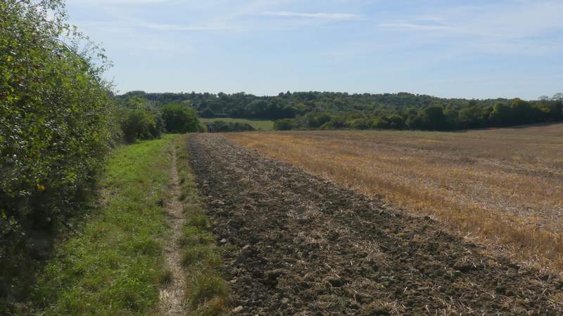
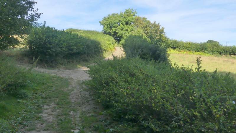
The path near Moor Common after I turned left
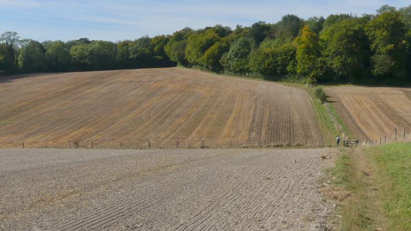
The path near Moor Common after I turned right
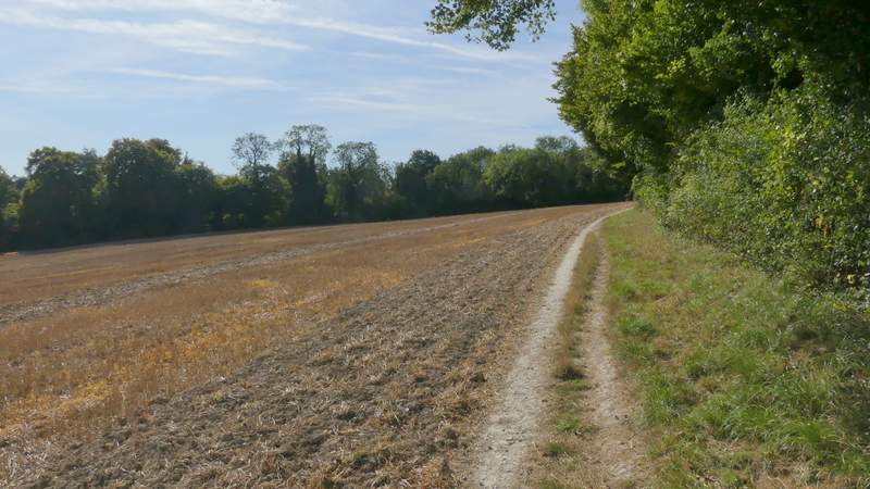
The path continuing alongside Long Copse
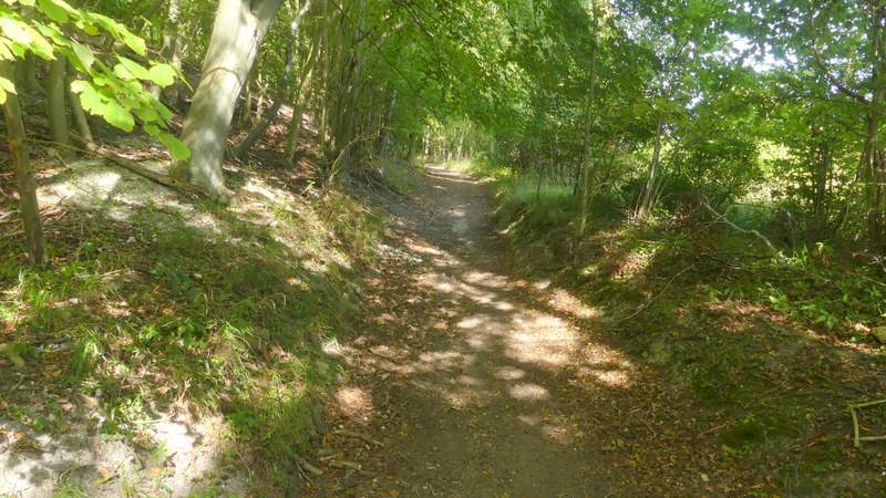
The path continuing through Long Copse
The path continuing from Long Copse
The path continuing after turning right in a field corner
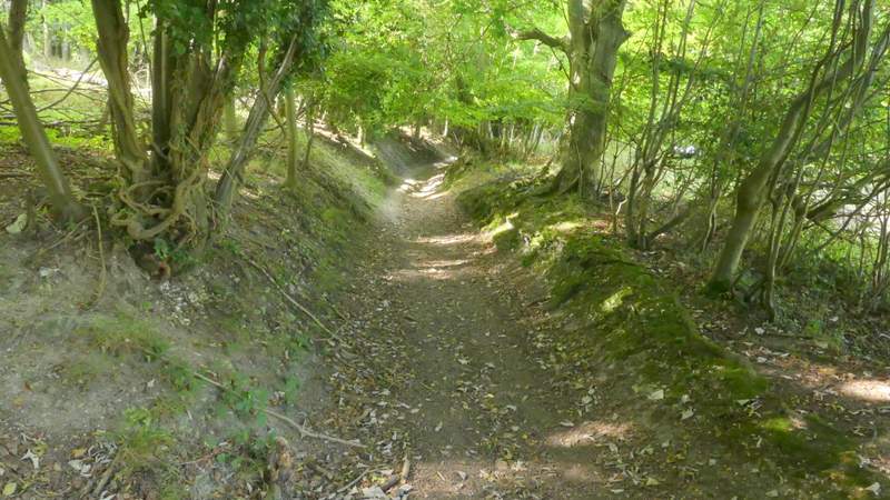
The path descending Hanover Hill
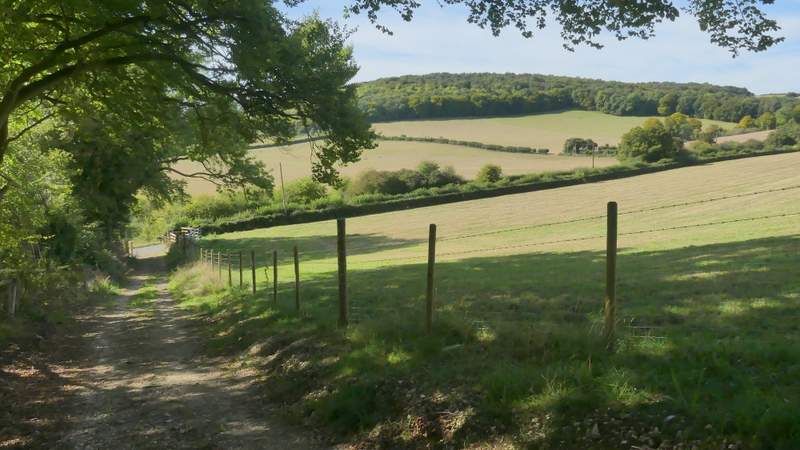
The path descending Hanover Hill, approaching Fingest Lane
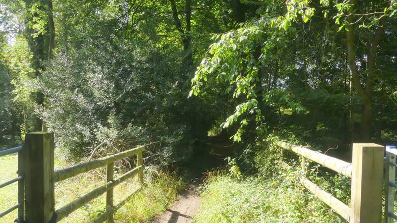
I went a few yards right along the lane, then turned left by a seat to reach a hedgerow. Here I turned right along a permissive path running parallel to the lane. This soon became a 'green tunnel', the hedge either side overhanging the path. Where the permissive path ended I turned left, following a hedge on my left a short way until it turned left. I turned left alongside it, with a ploughed field to my right and Hanger Wood on a hillside ahead of me. On reaching the next field I went straight on along a track. When I reached a corner of Hanger Wood I kept straight on (a track went left here), with the wood on my right. After a hundred or so yards I reached a bridleway following a track, where I turned sharply right. The bridleway soon curved left to run just inside the eastern edge of Hanger Wood. I had to follow the bridleway here for about half a mile, very gently uphill with a couple of places where it levelled out - I'd only walked this section of the bridleway once or twice many years ago, I don't think it's covered anywhere else on this web site. Eventually the bridleway left Hanger Wood, following a hedge-lined track that bent right and left. Where it then turned right again, I was then retracing my steps from the start of the walk this morning, following the track back into Cadmore End, and turning left along Church Road to return to where I'd started.
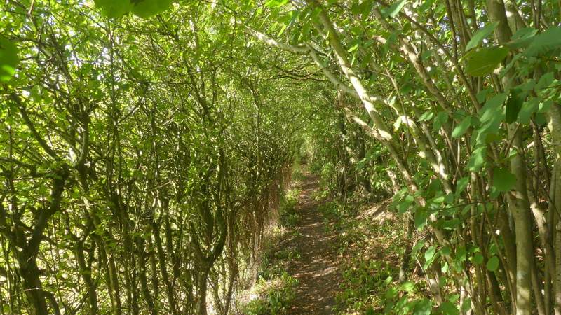
The permissive path to the left of Fingest Lane
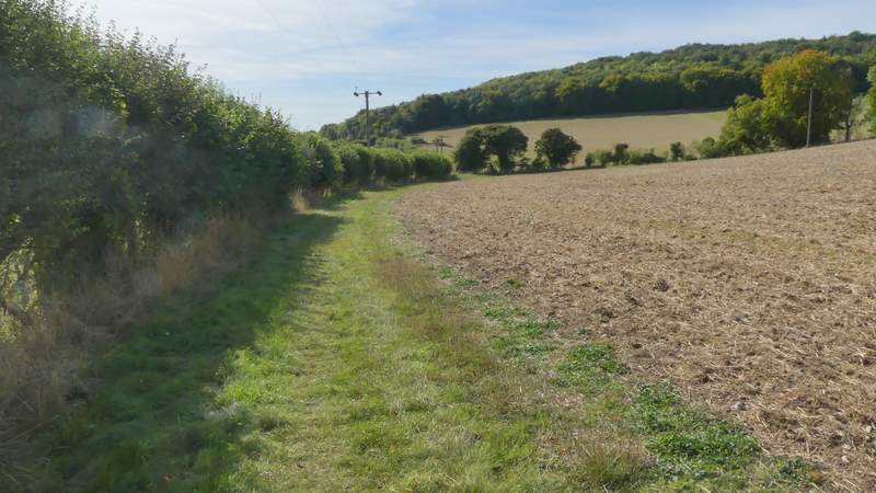
The path towards Hanger Wood
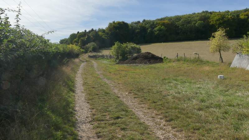
The path towards Hanger Wood
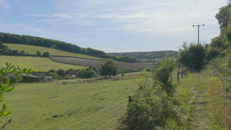
The path now beside Hanger Wood
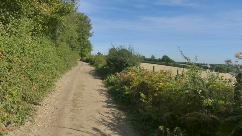
The bridleway along the eastern edge of Hanger Wood
The bridleway along the eastern edge of Hanger Wood
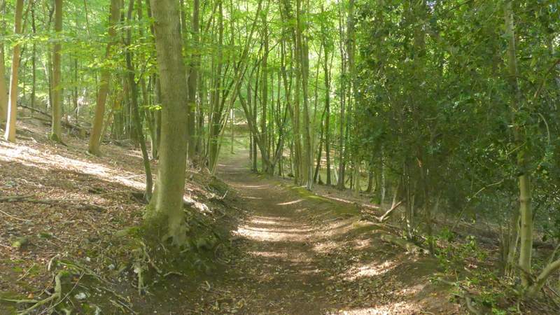
The bridleway along the eastern edge of Hanger Wood
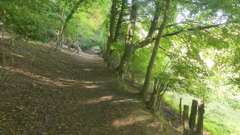
The bridleway along the eastern edge of Hanger Wood
The bridleway continuing from Hanger Wood
The bridleway continuing towards Cadmore End (I'd walked this bit this morning)
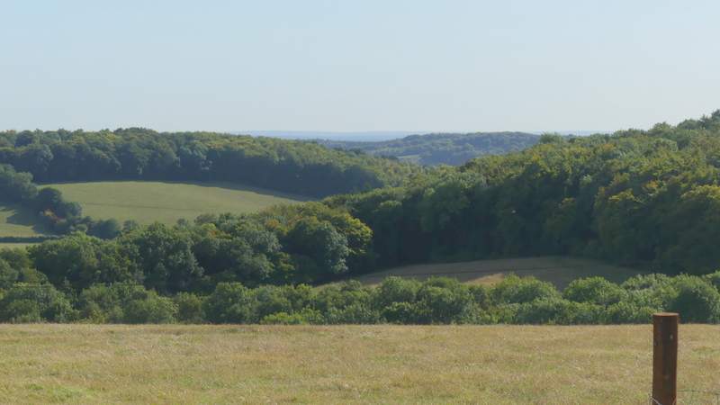
View from the edge of Cadmore End
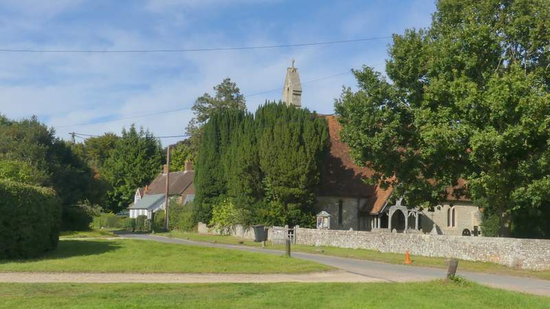
Cadmore End church
I really enjoyed this walk. It was a glorious day weather-wise and it had been a while since I'd walked any paths that I'd not walked before. I'm sure I'll use the path I took to Wheeler End again, and probably the path under the M40 to Widdington Wood too. There were a lot of ups and downs on the route, and many good views, with a good mixture of woods and fields. I was very surprised that it took me just over six hours to do 15.6 miles (and that's after allowing for time for the extra photos I took and for the number of times I stopped to look at the map), either it was a hillier route than I'd realised or maybe I'm just getting old!