Pete's Walks - West Wycombe and Nanfan Wood (page 7 of 7)
If you are considering walking this route yourself, please see my disclaimer. You may also like to see these notes about the maps and GPX files.
At the end of the lane, a drive continued - I went a bit too far along it and had to retrace my steps, the bridleway I wanted forked slightly right just before the drive curved slightly left into the trees. I was rather disconcerted at this point - I have got 'temporarily misplaced' (oh, Ok, lost!) more often in Naphill Common than anywhere else in the Chilterns (or the world, come to think of it). The paths and bridleways don't always seem to match up with what the OS map shows and there are a large number of unofficial paths that aren't shown on the map. What worried me now though was that this next stretch wasn't how I remembered it. I thought the bridleway would soon join a drive with a few houses on my left before continuing through the woods - in fact It didn't really join a drive at all and just passed a solitary house on the left. Any way I just kept straight on as the bridleway followed an old track through the wood. When I reached a junction where another broad path crossed at an angle, and just a narrow path went straight on, I went half-left. I soon came to a path crossroads, and was very relieved to recognise it - on the far left side were some Holly bushes, and I knew that I needed to go straight on. I soon had Holly on both sides of the path (and there a few Yew trees here as well) with the paddocks or fields around Bradenham Hill Farm a little to my right. After going straight on where a path went left, I had an area on my left that had been felled a few years ago, though the regrowth was now well above my head height.
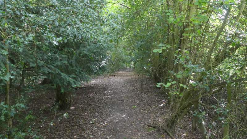
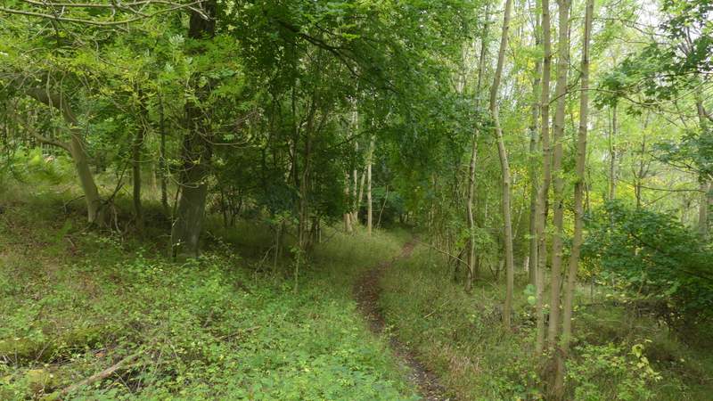
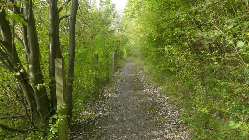
The bridleway through Naphill Common
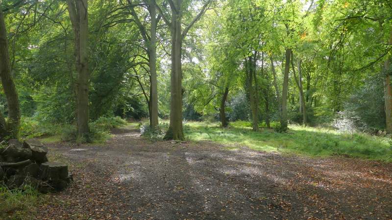
The bridleway through Naphill Common
The bridleway through Naphill Common
The bridleway through Naphill Common
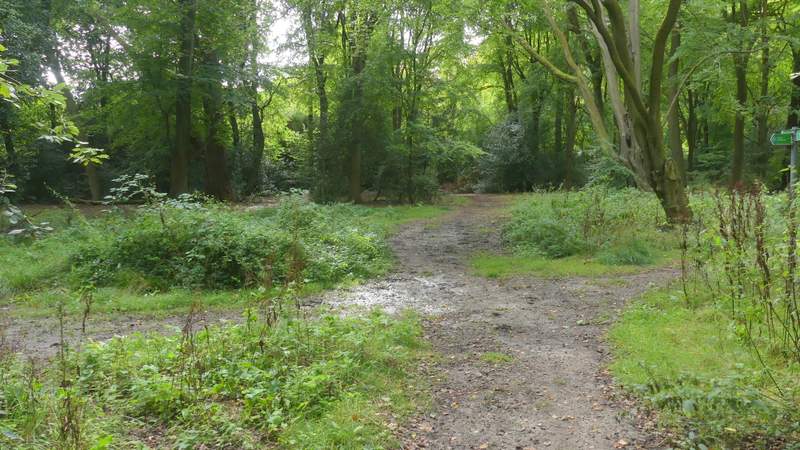
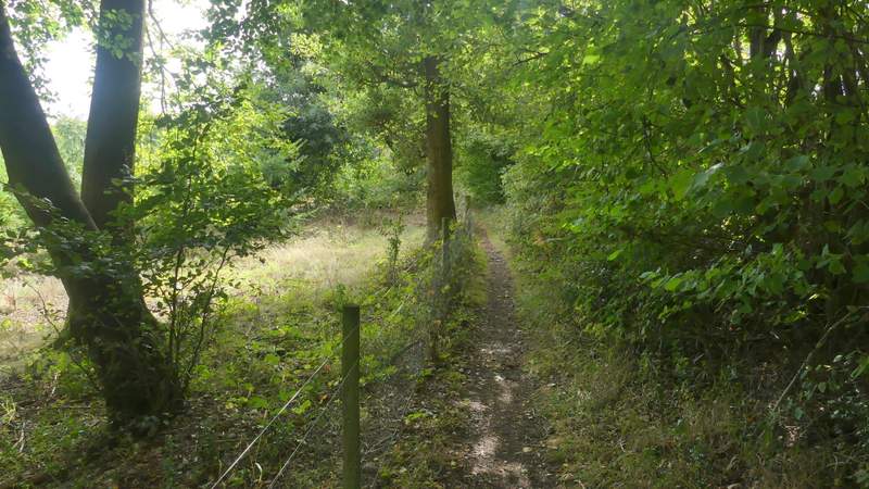
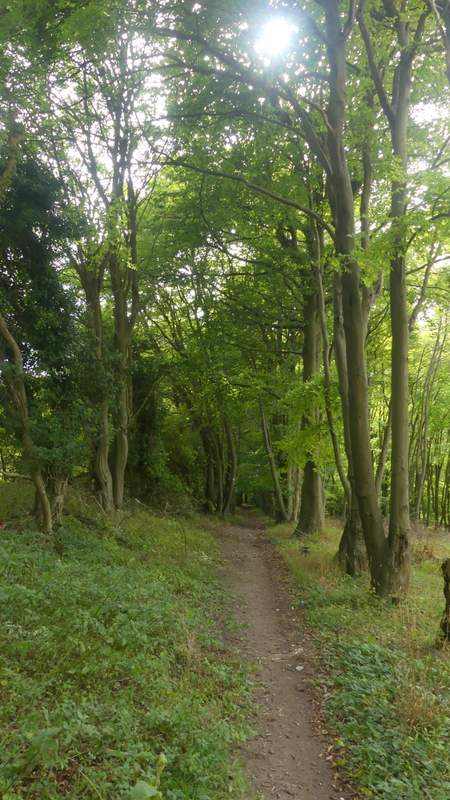
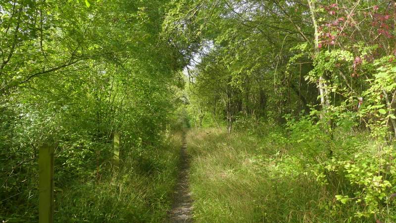
Near the start of the path to Kit's Wood (it was the sight of these Holly bushes that told me I'd reached the junction I wanted in Naphill Common)
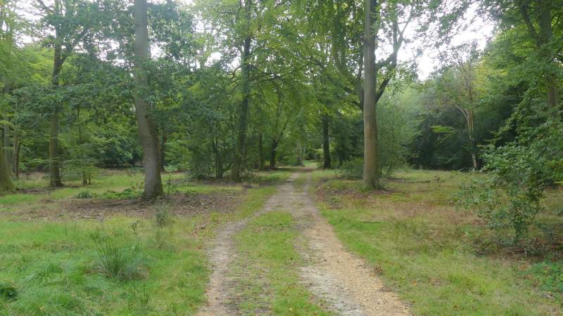
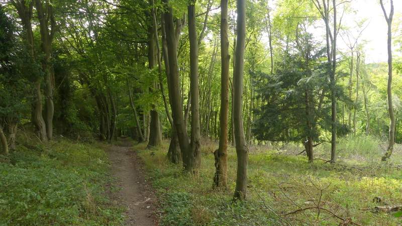
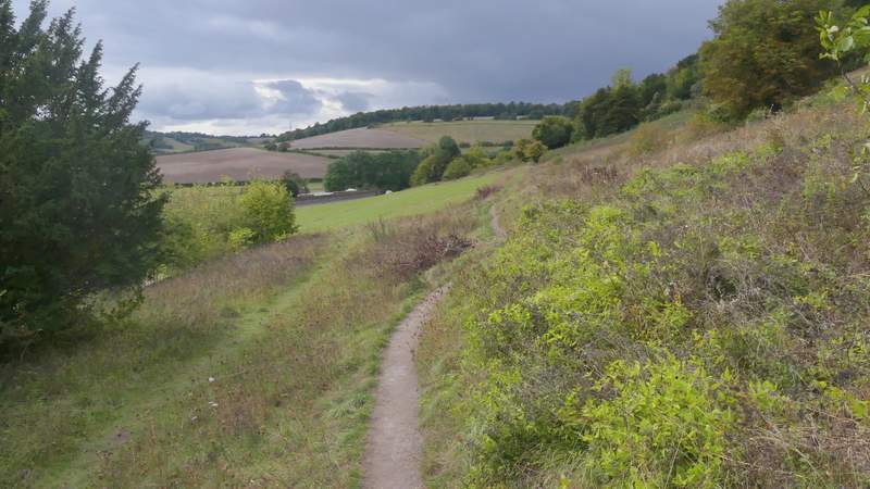
The path to Kit's Wood
The path to Kit's Wood
I continued along this path until it merged with a track coming in sharply from the right. This track immediately ended at a T-junction with another one, where I turned left, now in Kit's Wood. After a while, the track turned slightly left, but the public footpath went more or less straight on through the trees. After a few hundred yards it turned half-right and dropped steadily downhill. When it ended at a crossing path I turned right (you used to be able to go straight on over a railway line, but that crossing has been deemed to be too dangerous). I followed the path, running parallel to the railway line hidden by trees to my left, until it ended at a road. I crossed over and turned left, immediately going under a railway bridge. After quarter of a mile or so a footpath went half-right, going uphill at an angle across a field. On reaching the other side, I turned left to reach the field corner where I continued along a lane or street, which immediately curved right at a junction. Just after passing the entrance to the Hell-Fire Caves on the right, I took a path on that side (another one started a few yards further on, it didn't really matter which one I took). This path ran across the foot of West Wycombe Hill until it met a path coming down the hill from my right, where I turned half left and followed the path down to a road, opposite the car park where I'd started.
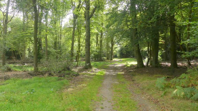
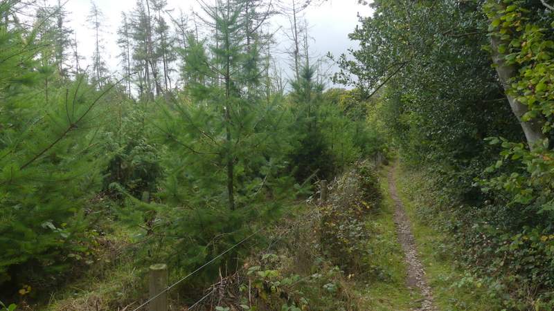
The path through Kit's Wood, after I turned left
The path through Kit's Wood
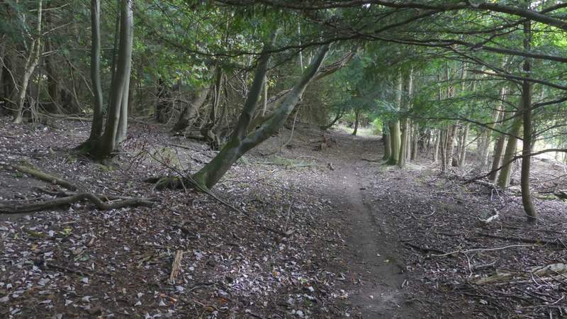
The path through Kit's Wood
The path through Kit's Wood
The path through Kit's Wood
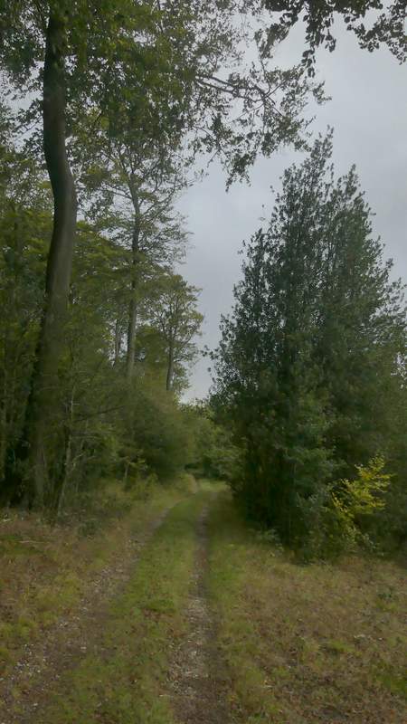
The path running parallel to the railway line, after I turned right
The path running parallel to the railway line
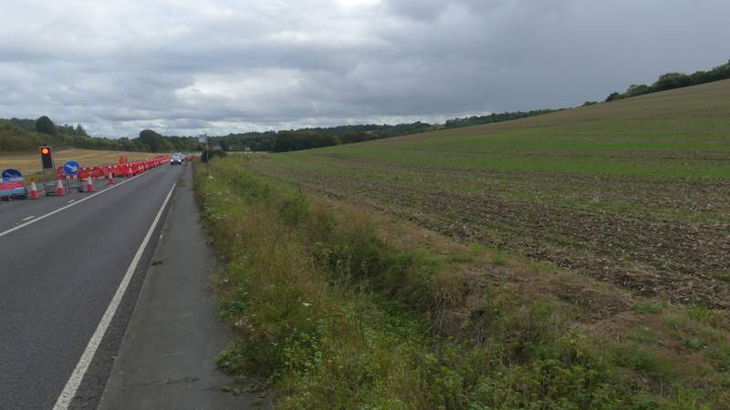
The road (A4010) after I turned left and went under the railway bridge (the path I took next forks right just past where the car is)
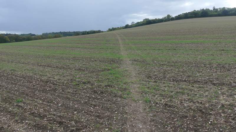
The path forking right from the road
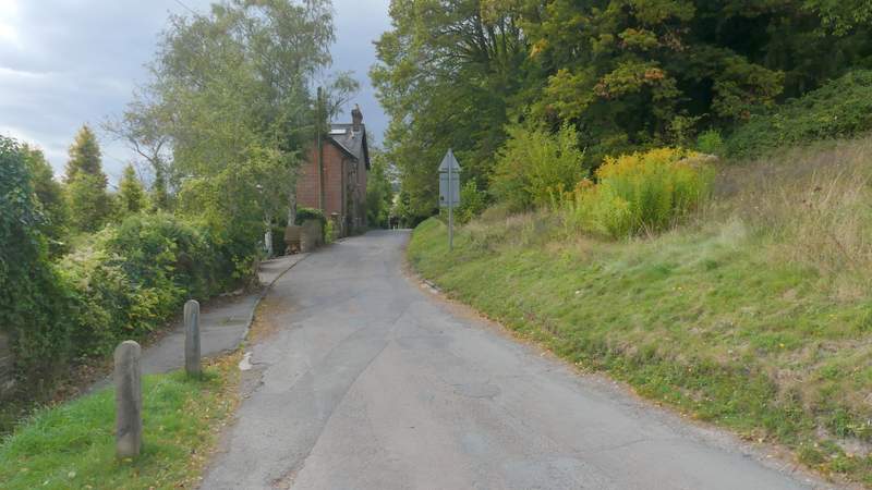
The street in West Wycombe, at the bottom of West Wycombe Hill
The path around the bottom of West Wycombe Hill
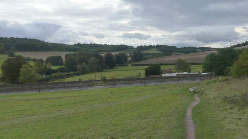
The path around the bottom of West Wycombe Hill after I turned half-left (the entrance to the car park is at the end of the wall, on the far right)
This was another good walk. The West Wycombe, Speen and Hughendon walk that I did clockwise in April 2010 was pretty good (I don't really know why I haven't walked it more often, possibly because at just over 11 miles it's a bit shorter than I usually like to walk) but the very up and down extension I added today definitely improves it. It's a rather hilly route, with eight hills and two or three other minor ups and downs, although having counted the contours on the map they only add up to about 1500 feet of ascent (and a remarkably similar amount of descent!). There were certainly plenty of views to be had, which would obviously have been finer if it wasn't for the rather grey conditions today.
I was very surprised to discover that the walk had taken me just over six hours (though I shouldn't have been really, as I knew I'd already been walking for four hours and 2o minutes when I stopped for lunch at Speen). And that's after allowing a little time for when I stopped to shelter from the showers and/or to put on my waterproofs. I did take about 280 photos, over a 100 more than usual, and I did check the map a bit more often than usual, but even so 6 hours is slow going for 13.6 miles. As I said at the end of my previous walk, I think I must be getting old!