Pete's Walks - West Wycombe and Nanfan Wood (page 6 of 7)
If you are considering walking this route yourself, please see my disclaimer. You may also like to see these notes about the maps and GPX files.
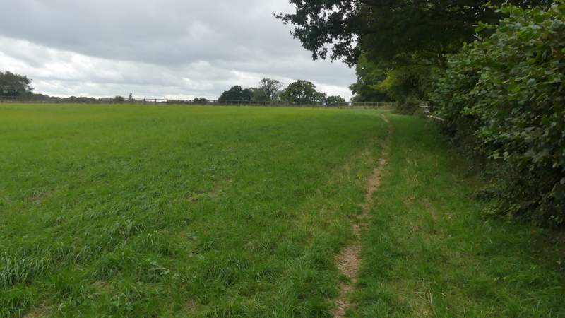
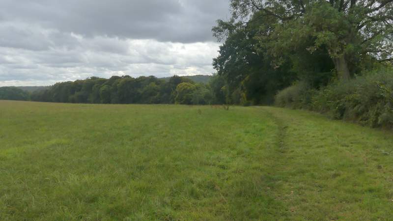
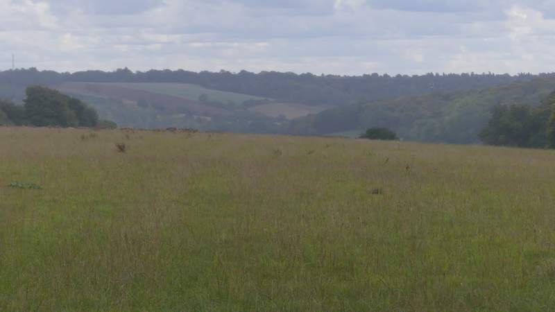
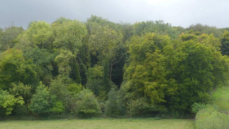
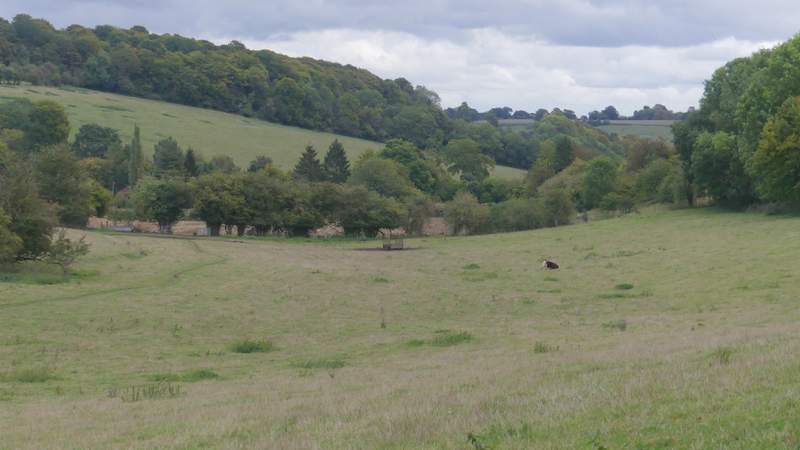
After a footpath emerged from a garden on the right, I was back on the route of that Redland End and Bryant's Bottom walk I did in 2015. I now wanted to go down a private road or drive on the left, but first continued a hundred yards or so up the road to where I remembered there was a seat where I could eat my packed lunch (it was now about 1.20pm). As I returned to that drive a shower started and I was glad I'd kept my rain jacket on. Just a short way down the drive, a sign on the left pointed to where a footpath went right, up a few steps and initially between garden boundaries. When I reached a metal kissing-gate in the shelter of a tree I stopped for a minute or two to let the worst of the shower, which was now quite heavy, pass over. I then continued following the path along the southern edge of Speen, which next ran between the wooden fence of a small field on my left and a stout garden hedge on my right. The path carried on along the right edge of a field. In the next corner I went through a metal kissing-gate, and turned left for a few yards along a track, before turning right - the Redland End and Bryant's Bottom walk I did in April 2015 goes straight on here, but I was now back on the route of the West Wycombe, Speen and Hughendon walk that I did anti-clockwise in October 2010 (which I'd follow for the rest of today's walk). The path continued along the right edge of a large field, curving slightly left as it moved away from Speen. Through a gate in the corner it went straight on, dropping downhill with a wood name Guy's Spring on my left. In the valley bottom I came to a path junction, where I turned left and followed a path through an empty cow pasture that sloped up to my left.
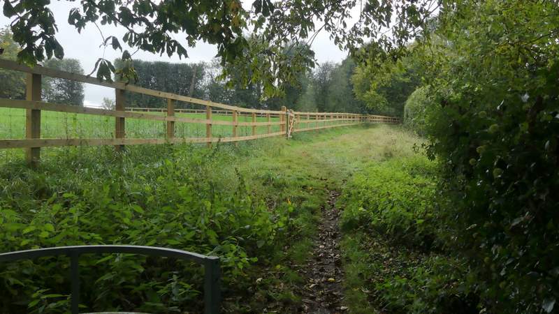
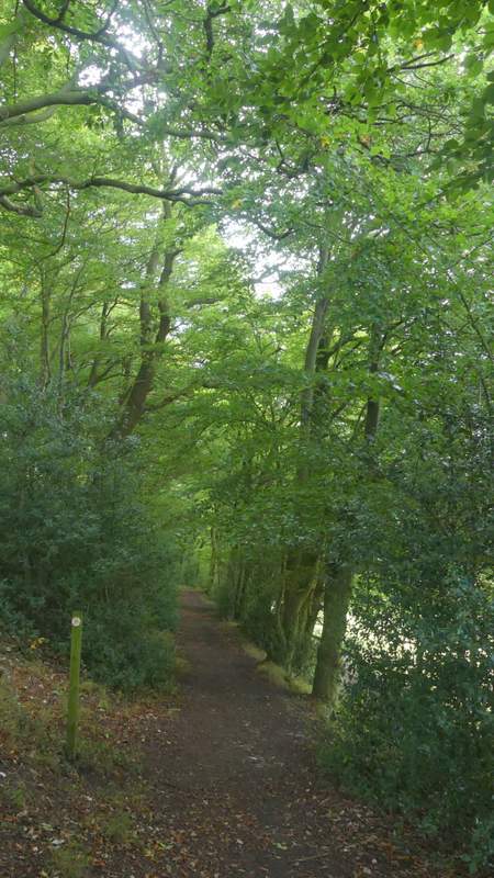
The path along the edge of Speen (I sheltered under a tree for a minute or so while a heavy shower passed over)
The path along the edge of Speen
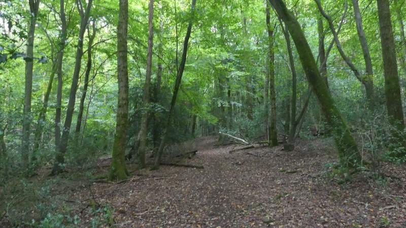
The path continuing towards Guy's Spring
Zoomed in shot looking left (not very clear as it was still drizzling here)
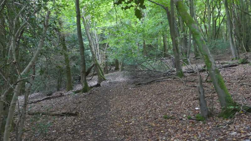
The path continuing past Guy's Spring
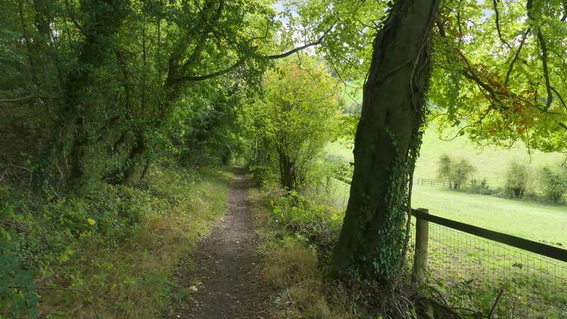
The path continuing past Guy's Spring
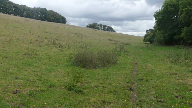
The path through the cow pasture after I turned left just after Guy's Spring
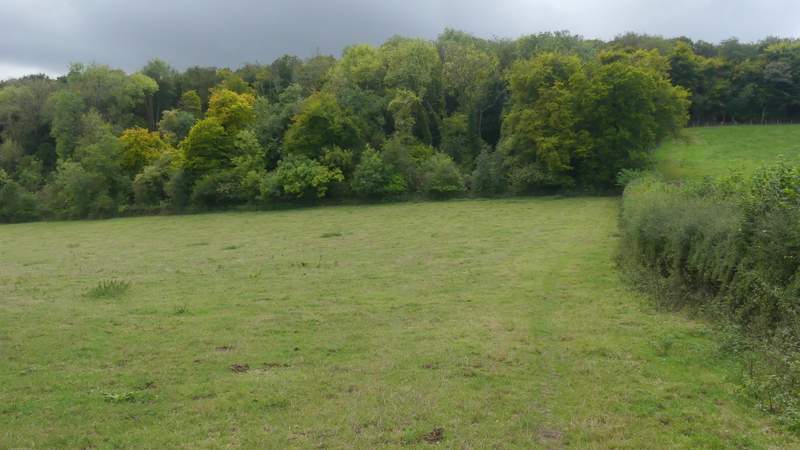
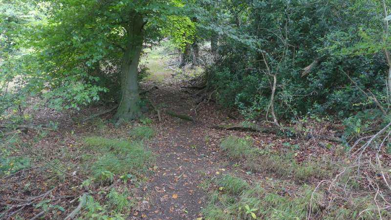
On reaching the next field corner, I walked through a hedge gap and turned right, following a hedge on my right up to Courns Wood. There was a solitary cow in this field, a long way to my left. On entering the wood, the path continued straight on upwards for a short while, before turning to the left and rising more gently at an angle to the slope. After following it southwards for about a quarter of a mile I came to a junction in the wood, where I went right and then very quickly turned left at a second junction (close to an edge of the wood).
The path after I turned right, heading up to Courns Wood
Zoomed-in shot of some nice trees in the corner of Courns Wood
Looking left towards Upper North Dean, from near Courns Wood
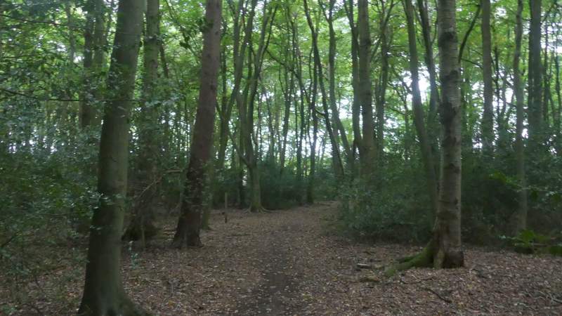
The path through Courns Wood
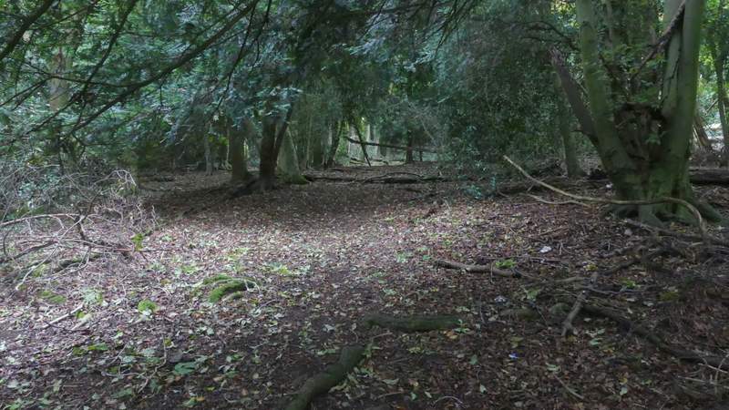
The path through Courns Wood
The path through Courns Wood
The path through Courns Wood
It was very gloomy now in the wood as a result of the dark grey skies overhead, and so I wasn't surprised when I started to feel more raindrops. After a while the path passed close to a property on the left and ran along a fence for a while. I then soon came to where the path left Courns Wood, but I stopped here to put my waterproof over-trousers on and put the rain-cover over my rucksack. I could see how heavy the shower was over the ploughed field ahead of me. But it cleared almost completely within a few minutes, and I set off across the field - there was no sign of the path here, but I just aimed for the far left corner. When I got there, I turned right along Clappins Lane, which lies on the border between Naphill (to my left) and Walter's Ash. At the end of the lane I turned left along the road that runs through these villages and then turned into Forge Lane which soon brought me to the wooded Naphill Common.
The path through Courns Wood, after I turned left and right (and yes, it really was as dark as this!)
The path continuing through Courns Wood
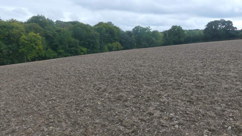
The path continuing from Courns Wood (well, this is where it would be if it had been re-instated after ploughing - I just aimed towards the far corner)
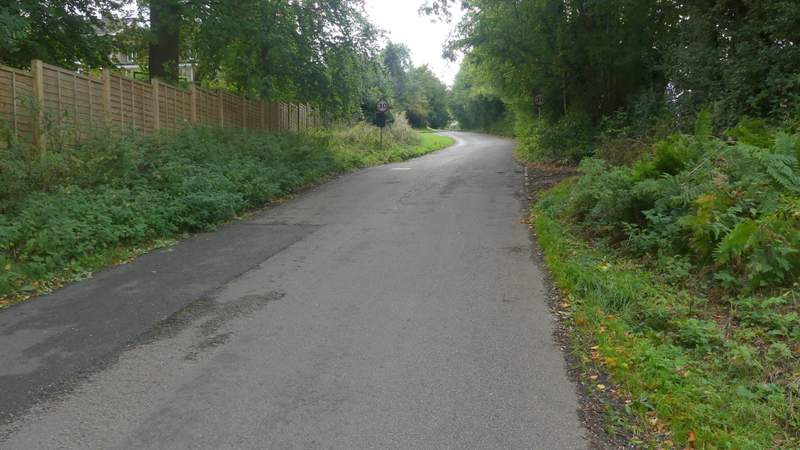
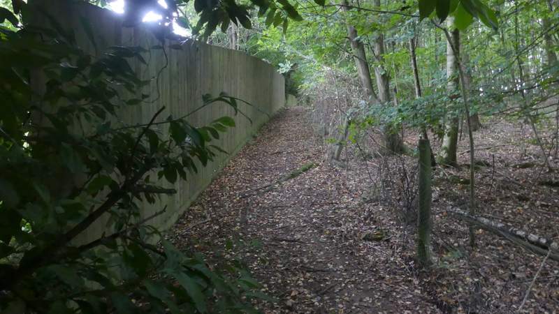
Clappins Lane (this is the border between Naphill, left, and Walter's Ash)
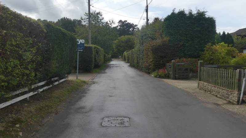
Forge Lane, Naphill, leading to Naphill Common