Pete's Walks - West Wycombe and Nanfan Wood (page 5 of 7)
If you are considering walking this route yourself, please see my disclaimer. You may also like to see these notes about the maps and GPX files.
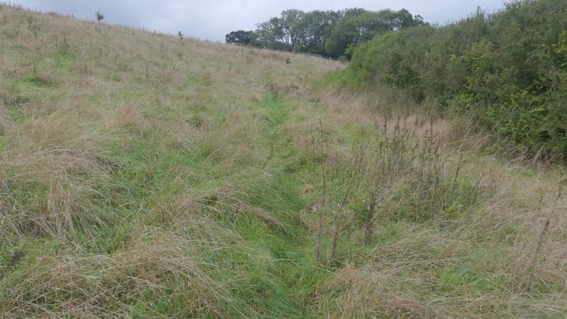
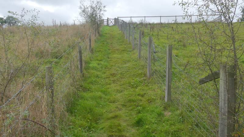
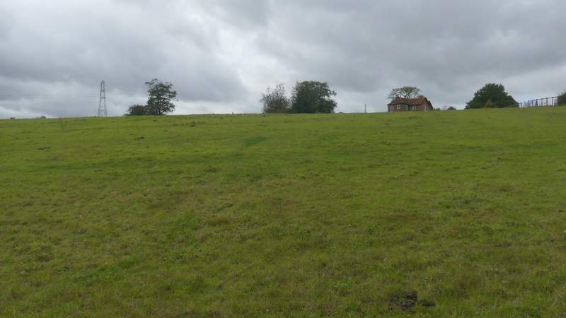
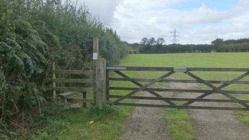
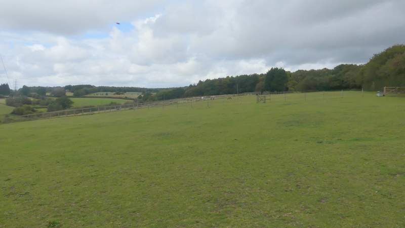
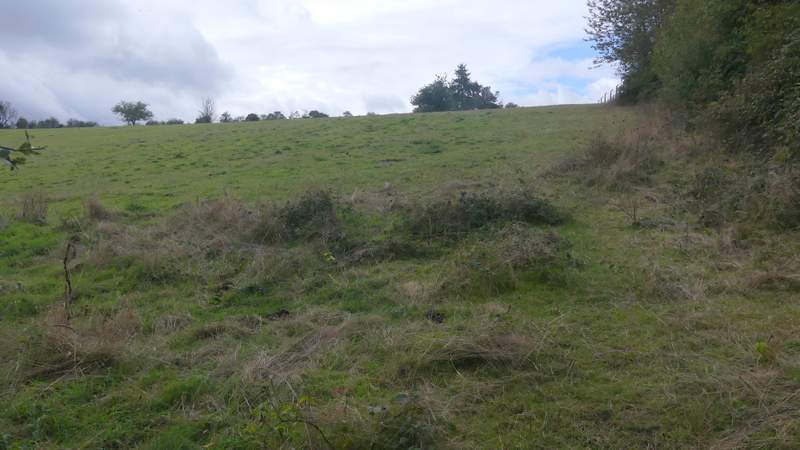
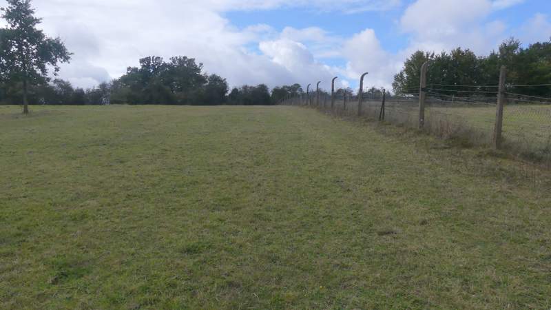
At the road junction I went over a rickety stile to the left of the lane, turning immediately right to follow the hedge on that side of the lane. This was all thick grass with not much evidence of a path, and slightly uphill too, so was rather heavy going. I struggled through it to reach a kissing-gate in a corner next to a fence, through which I turned left through another gate to continue uphill a short way between fences. Through another gate I continued across a large paddock to reach a stile next to a gate (I think, I was concentrating on the two horses standing nearby). The path then followed a fence on my left to a gate, through which it went past a house on the right, and along its drive to a lane. I went a few yards left, then took a path on the other side that ran along the left edge of an empty field. A few yards into the next field I came to a path T-junction, where I turned right and headed across the field to a gate or stile in a wire fence on the other side. The path continued in the same direction across a paddock that had a few assorted horses and ponies in it. Beyond that the path continued down a track passing Denner Farm on the right.
The path next to the lane
The path after it turns left from the lane
The path after it turns left from the lane
The start of the path after I crossed a lane
The path after I turned right, heading towards Denner Farm
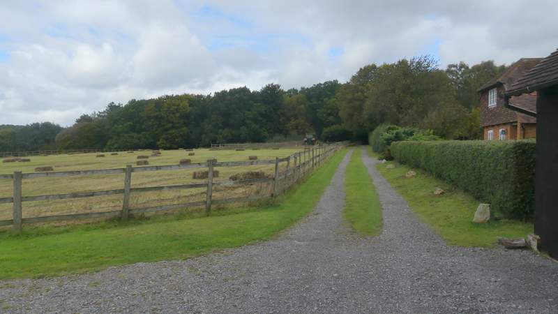
The path passing Denner Farm
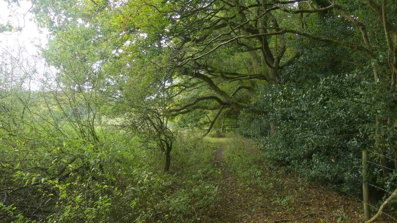
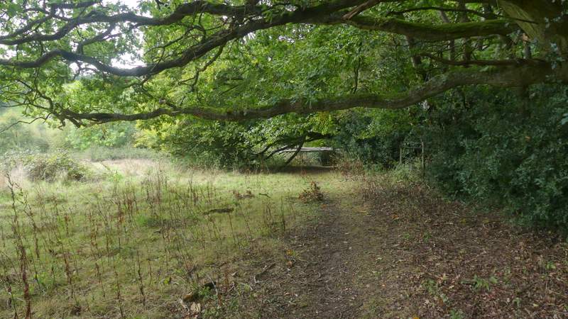
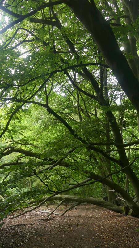
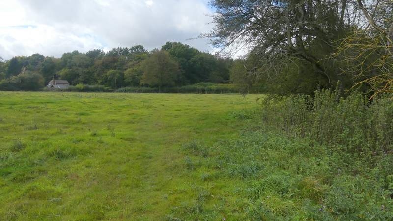
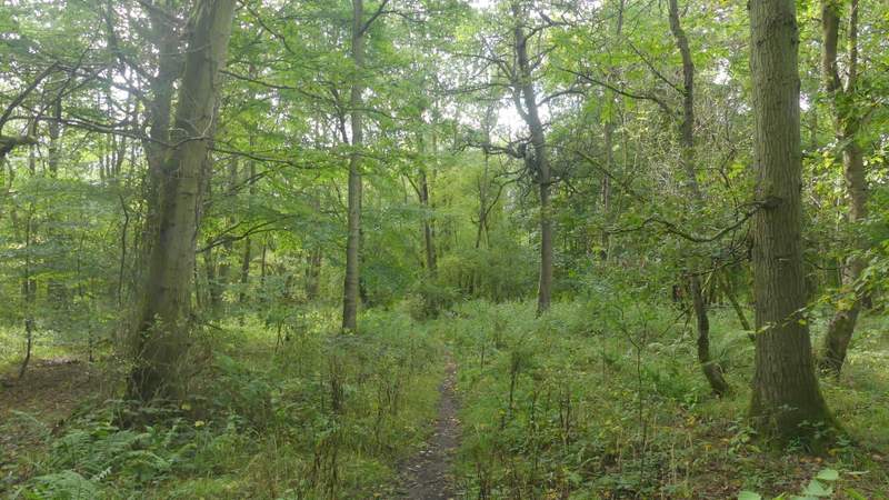
When the track turned right, I took a footpath going left - at this point I left the route of that Redland End and Bryant's Bottom walk I did in April 2015, and the next half mile or so was new ground for me. The path followed the edge of a rough field with a wood to my right - I had to duck under some very low branches. Further on it became very steep as it dropped down this side of Denner Hill to reach the road through Bryant's Bottom. I crossed over and followed a path along a drive. It then went through a garden gate and through a garden to a stile on the far side (I'd not been here before, but it reminded me strongly of somewhere else where a path goes through a garden in just the same way as this, but I can't think where that is). The path then continued uphill through a large horse field, with a hedge and then a fence on my right. At the top of the hill the path continued across another empty field to a gate in a hedge, where I reached Spring Coppice Lane.
The path after I turned left just after Denner Farm

View left from that path
Further along the path
Further along the path
The start of the path after crossing Bryant's Bottom Road
The path continuing uphill, after going through a garden
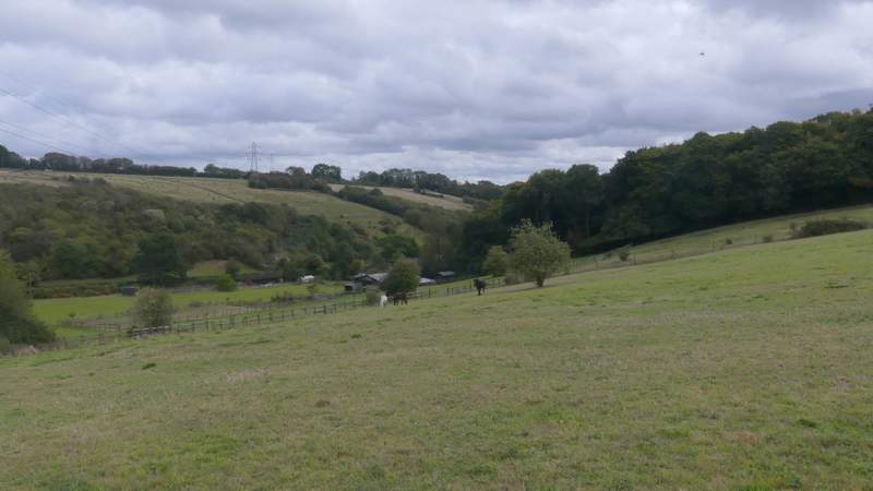
View back over Bryant's Bottom towards Denner Hill
The path continuing uphill
The path continuing towards Spring Coppice Lane
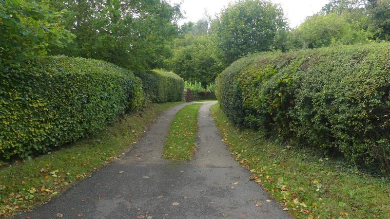
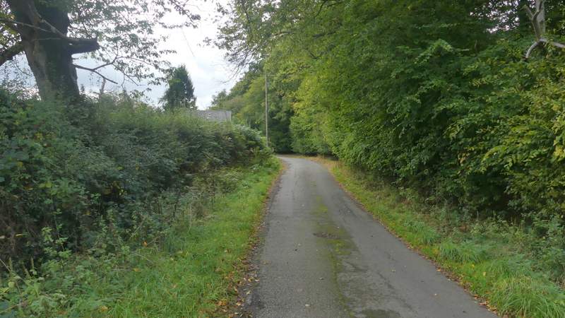
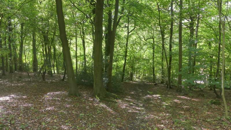
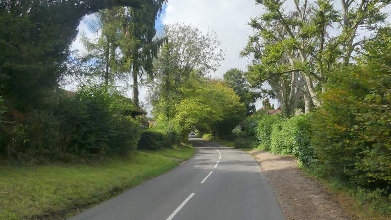
I turned left along the lane, soon passing Spring Coppice Farm on my left. A footpath then forked right from the road through a wood (I guessed this must be Spring Coppice, but according to the OS map it's College Plantation). The path dropped downhill through the wood to reach a track on the other side. Here I went a few yards left along the track to its end, where I turned right along a minor road into the village of Speen.
Spring Coppice Lane
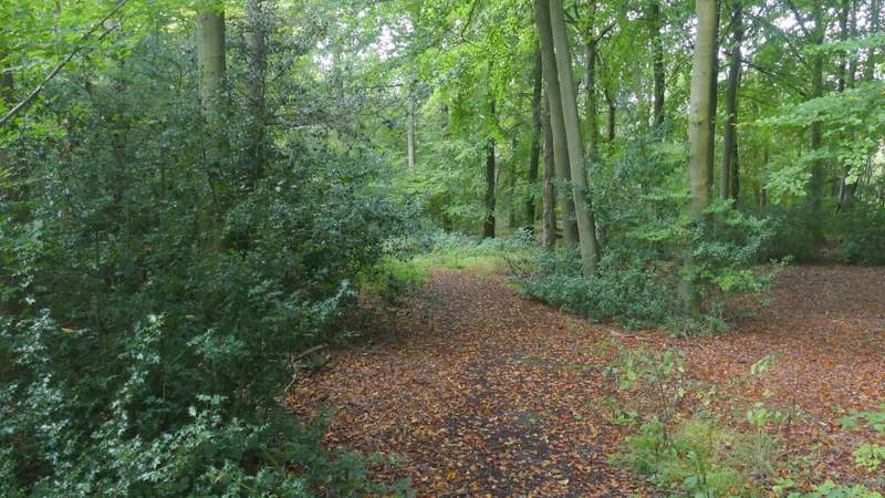
The path through College Plantation
The path through College Plantation
The path through College Plantation
The road through Speen, after I turned right