Pete's Walks - West Wycombe and Nanfan Wood (page 4 of 7)
If you are considering walking this route yourself, please see my disclaimer. You may also like to see these notes about the maps and GPX files.
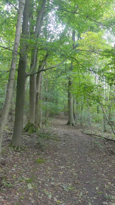
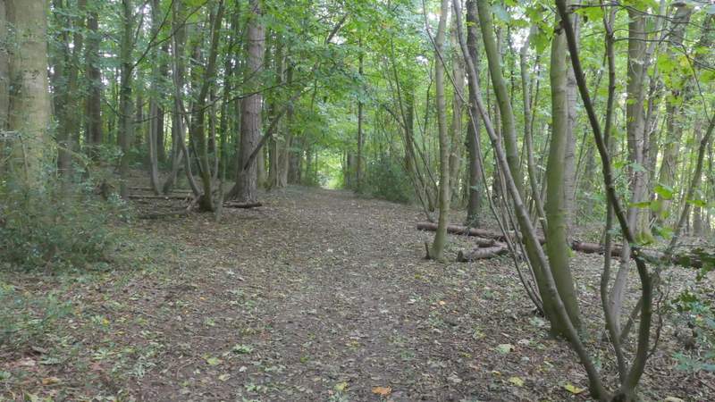
I followed the path from Piggott's Wood as it ran downhill beside a hedgerow on my right, to reach the road through the village of Bryant's Bottom (I think it shares its name with the valley in which it lies). I went a short way left then took a footpath on the other side that started between two houses and was very soon climbing steeply uphill between hedges. Again this didn't seem as long as I remembered. Near the top of the slope I went through a gate and went straight on through an empty paddock to a matching gate, where I turned left along a track (passing an unusual green house on my right). I must admit I was a little confused here as the OS map shows the track running between two buildings, but the nearest one must have been demolished (it was here when I came this way in 2010, it's on one of my photographs). Anyway, at the end of the track I turned sharply right along the drive leading to Dennerhill Farm. I continued past its entrance, now on a hedge-lined farm track. After going through a gate across the track, I went through a hedge gap on my left and continued down the other side of Denner Hill through an area of overgrown grass, nettles and brambles next to a hedge on my right. I could see Nanfan Wood on top of the other side of the valley ahead of me.
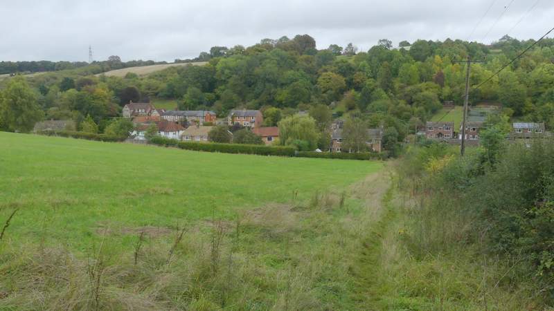
The path descending from Piggott's Wood to Bryant's Bottom
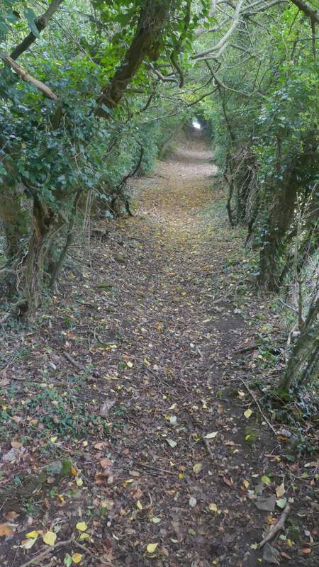
The steep path up from Bryant's Bottom to Dennerhill farm
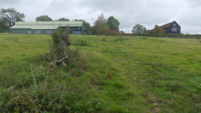
The path up from Bryant's Bottom to Dennerhill farm (I went straight on to a gate and turned left in front of the green building, but it was the gate in the left corner of this field (out of shot) that had a waymark on it - so possibly the path has been diverted)
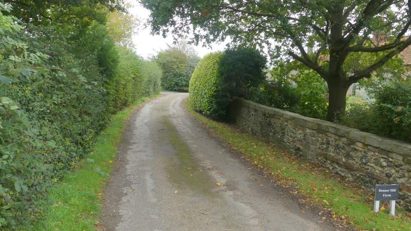
The drive to Dennerhill Farm
The track continuing from Dennerhill Farm
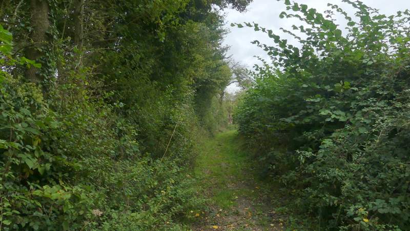
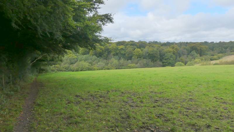
The path descending the eastern side of Denner Hill
The path descending the eastern side of Denner Hill
The path descending the eastern side of Denner Hill
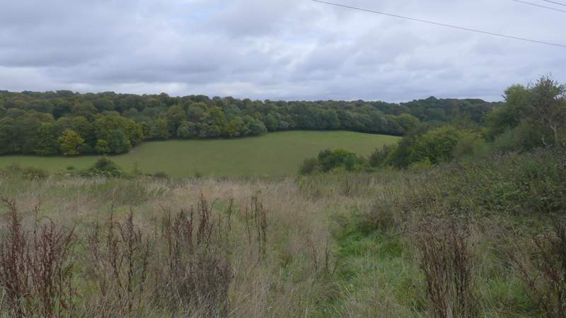
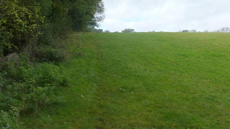
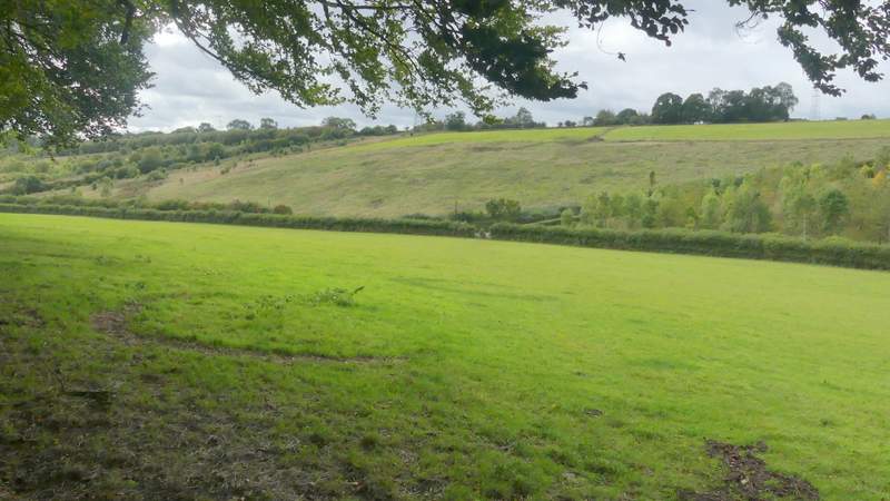
In the valley bottom I crossed Hampden Road and took a path a few yards to the left. This rose uphill through a huge grassy field (it must be almost half a mile long) which had just two horses in it, way over to my right. I stopped when I reached the edge of Nanfan Wood, to admire the views and take a few photos. The path continued through Nanfan Wood for over a quarter of a mile, until I came to a five-way path junction at its northeast corner.
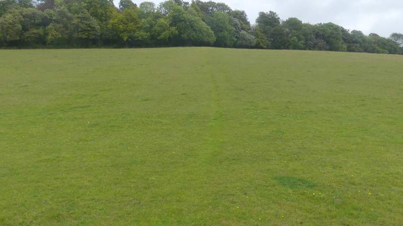
The path up to Nanfan Wood
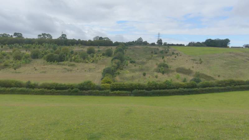
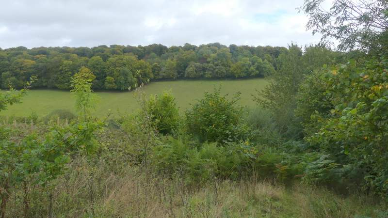
Looking back to Denner Hill from where the path enters Nanfan Wood
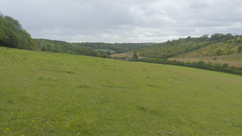
View right from where the path enters Nanfan Wood
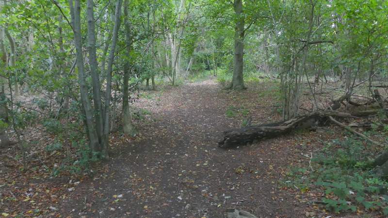
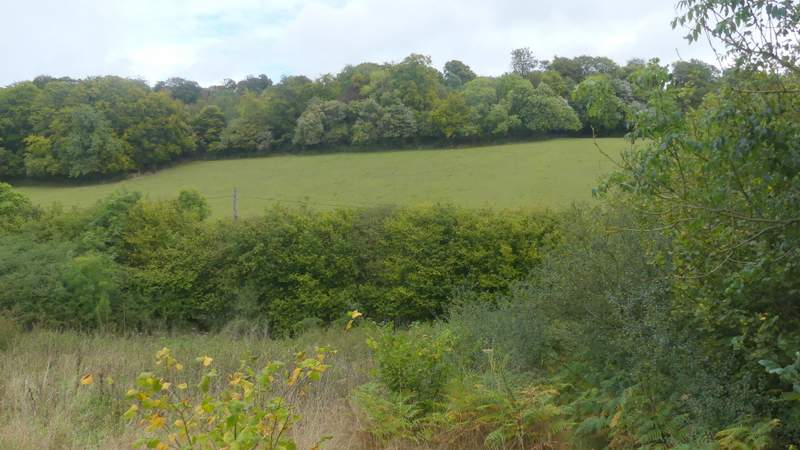
The path continuing through Nanfan Wood
The path continuing through Nanfan Wood
The path continuing through Nanfan Wood
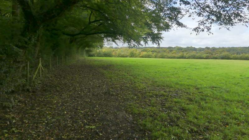
Through a kissing-gate, I turned left and followed a path along the northern edge of Nanfan Wood through an empty cattle pasture (there had evidently been cattle there recently, though). The path continued next to the wood through a second such pasture, and then most of the way through a third one, now dropping back down into the valley I'd just crossed. Just before the end of Nanfan Wood, the path turned left into it, cutting the tiniest of corners through it to a gate or stile, and then continuing downhill at an angle through the same huge field I'd crossed before, to reach a junction where a lane met Hampden Road.
The path after I turned left, along the northern edge of Nanfan Wood
The path along the northern edge of Nanfan Wood
The path along the northern edge of Nanfan Wood
The path From Nanfan Wood, across the same field I'd crossed earlier, down to a road junction (centre of photo)